How to get to Rnb Construction by bus?
Click on the bus route to see step by step directions with maps, line arrival times and updated time schedules.
From Fitness Center @ Circus Circus, Winchester
60 minFrom Downtown Grand Hotel & Casino An Ascend Hotel Collection Member, Las Vegas
59 minFrom Hilton-Las Vegas at Resorts World, Winchester
67 minFrom Palace Station Hotel & Casino, Las Vegas
57 minFrom The Theatre at Resorts World, Winchester
63 minFrom Count's Kustoms, Las Vegas
68 minFrom Bishop Gorman School, Las Vegas
66 minFrom Mercado Las Vegas, North Las Vegas
36 minFrom Promenade at Fontainebleau Las Vegas, Winchester
69 minFrom Road from Vegas to Pahrump, Las Vegas
57 min
Bus stops near Rnb Construction in Las Vegas
Bus lines to Rnb Construction in Las Vegas
What are the closest stations to Rnb Construction?
The closest stations to Rnb Construction are:
- Sb Decatur After Gowan is 448 yards away, 6 min walk.
- Nb Rancho at 2830 N. Rancho is 1036 yards away, 13 min walk.
- Wb Cheyenne After Rancho is 1258 yards away, 15 min walk.
Which bus lines stop near Rnb Construction?
These bus lines stop near Rnb Construction: 103, 106, 218.
What’s the nearest bus station to Rnb Construction in Las Vegas?
The nearest bus station to Rnb Construction in Las Vegas is Sb Decatur After Gowan. It’s a 6 min walk away.
What time is the first bus to Rnb Construction in Las Vegas?
The 103 is the first bus that goes to Rnb Construction in Las Vegas. It stops nearby at 3:06 AM.
What time is the last bus to Rnb Construction in Las Vegas?
The 103 is the last bus that goes to Rnb Construction in Las Vegas. It stops nearby at 3:07 AM.
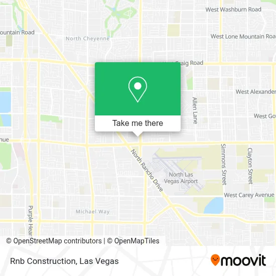
See Rnb Construction, Las Vegas, on the map
Public Transit to Rnb Construction in Las Vegas
Wondering how to get to Rnb Construction in Las Vegas? Moovit helps you find the best way to get to Rnb Construction with step-by-step directions from the nearest public transit station.
Moovit provides free maps and live directions to help you navigate through your city. View schedules, routes, timetables, and find out how long does it take to get to Rnb Construction in real time.
Looking for the nearest stop or station to Rnb Construction? Check out this list of stops closest to your destination: Sb Decatur After Gowan; Nb Rancho at 2830 N. Rancho; Wb Cheyenne After Rancho.
Bus: 103, 106, 218.
Want to see if there’s another route that gets you there at an earlier time? Moovit helps you find alternative routes or times. Get directions from and directions to Rnb Construction easily from the Moovit App or Website.
We make riding to Rnb Construction easy, which is why over 1.7 million users, including users in Las Vegas, trust Moovit as the best app for public transit. You don’t need to download an individual bus app or train app, Moovit is your all-in-one transit app that helps you find the best bus time or train time available.
For information on prices of bus, costs and ride fares to Rnb Construction, please check the Moovit app.
Use the app to navigate to popular places including to the airport, hospital, stadium, grocery store, mall, coffee shop, school, college, and university.
Rnb Construction Address: 3281 N Decatur Blvd street in Las Vegas
- Hearts Alive Village Animal Clinic,
- Jackpot Joanie's,
- Decatur @ Cheyenne (N),
- Vegas Stars,
- Mr5 Total Auto Care,
- City Express #3,
- West Air Helicopters,
- Agua Viva Iglesia Cristiana,
- Desert Rose Counseling Group,
- FedEx,
- Centennial Hills Seventh Day Adventist Church,
- Village Starfish,
- Us Post Office,
- West Air Aviation (West Air Flight Training),
- Las Vegas, Summerlin, & Henderson, Nevada,
- Red Rock Dental Laboratory,
- Budget Suites of America North Rancho Drive,
- Craig Rd and Simmons,
- Donna Eubank Hennen,
- Jones @ Smoke Ranch (N)
Places Near Rnb Construction (Las Vegas)
- Allegiant Stadium, Paradise,
- Welcome To Fabulous Las Vegas Sign, Paradise,
- Lee Canyon, Las Vegas,
- Las Vegas South Premium Outlets, Enterprise,
- The Deuce Bus Stop at Fremont St, Las Vegas,
- Walmart Supercenter, Las Vegas,
- Koolsville Tattoos, Las Vegas,
- Gold & Silver Pawn Shop, Las Vegas,
- Zak Bagans Haunted Museum, Las Vegas,
- Walmart, Las Vegas,
- Meow Wolf - Las Vegas (Meow Wolf's Omega Mart), Las Vegas,
- Las Vegas Premium Outlets-North, Enterprise,
- The Palms Casino Resort, Paradise,
- Arte Museum Las Vegas, Paradise,
- Town Square, Enterprise,
- Area15, Las Vegas,
- Trump International Hotel Las Vegas, Paradise,
- Omega Mart, Las Vegas,
- Las Vegas North Premium Outlets, Las Vegas,
- The Neon Museum, Las Vegas
How to get to popular places in Las Vegas with public transit
Get around Las Vegas by public transit!
Traveling around Las Vegas has never been so easy. See step by step directions as you travel to any attraction, street or major public transit station. View bus and train schedules, arrival times, service alerts and detailed routes on a map, so you know exactly how to get to anywhere in Las Vegas.
When traveling to any destination around Las Vegas use Moovit's Live Directions with Get Off Notifications to know exactly where and how far to walk, how long to wait for your line, and how many stops are left. Moovit will alert you when it's time to get off — no need to constantly re-check whether yours is the next stop.
Wondering how to use public transit in Las Vegas or how to pay for public transit in Las Vegas? Moovit public transit app can help you navigate your way with public transit easily, and at minimum cost. It includes public transit fees, ticket prices, and costs. Looking for a map of Las Vegas public transit lines? Moovit public transit app shows all public transit maps in Las Vegas with all Bus and Monorail routes and stops on an interactive map.
Las Vegas has 2 transit type(s), including: Bus and Monorail, operated by several transit agencies, including RTCSNV, City of Las Vegas, Alvand Transportation, Vegas Airporter, Las Vegas Monorail, FlixBus-us and Greyhound-us