How to get to Robs Pet Connection by bus?
Click on the bus route to see step by step directions with maps, line arrival times and updated time schedules.
Bus stop near Robs Pet Connection in Vermont
- Hannaford's (South Barre), 7 min walk,VIEW
Bus lines to Robs Pet Connection in Vermont
- 85, Hannaford's (South Barre),VIEW
What are the closest stations to Robs Pet Connection?
The closest stations to Robs Pet Connection are:
- Hannaford's (South Barre) is 574 yards away, 7 min walk.
Which bus lines stop near Robs Pet Connection?
These bus lines stop near Robs Pet Connection: 80/89, 81.
What’s the nearest bus station to Robs Pet Connection in Vermont?
The nearest bus station to Robs Pet Connection in Vermont is Hannaford's (South Barre). It’s a 7 min walk away.
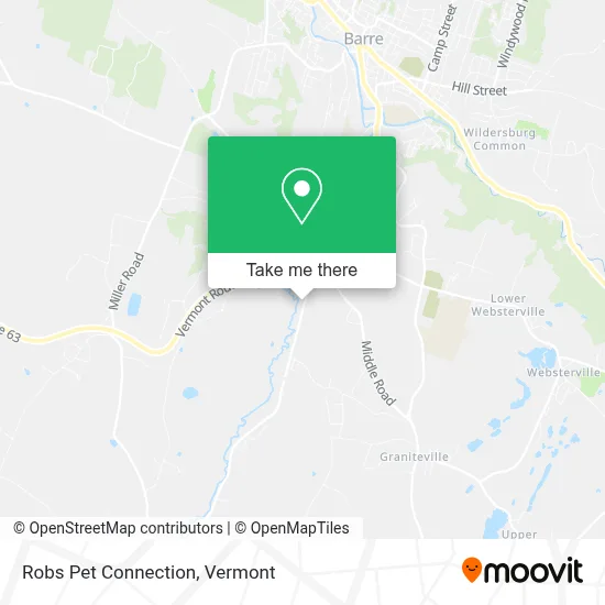
See Robs Pet Connection, Vermont, on the map
Public Transit to Robs Pet Connection in Vermont
Wondering how to get to Robs Pet Connection in Vermont? Moovit helps you find the best way to get to Robs Pet Connection with step-by-step directions from the nearest public transit station.
Moovit provides free maps and live directions to help you navigate through your city. View schedules, routes, timetables, and find out how long does it take to get to Robs Pet Connection in real time.
Looking for the nearest stop or station to Robs Pet Connection? Check out this list of stops closest to your destination: Hannaford's (South Barre).
Bus: 80/89, 81, 85.
Want to see if there’s another route that gets you there at an earlier time? Moovit helps you find alternative routes or times. Get directions from and directions to Robs Pet Connection easily from the Moovit App or Website.
We make riding to Robs Pet Connection easy, which is why over 1.5 million users, including users in Vermont, trust Moovit as the best app for public transit. You don’t need to download an individual bus app or train app, Moovit is your all-in-one transit app that helps you find the best bus time or train time available.
For information on prices of bus, costs and ride fares to Robs Pet Connection, please check the Moovit app.
Get to Robs Pet Connection with public transit and pay for the ride in the Moovit app. In addition to all info you may need for your trip to Robs Pet Connection, including live directions, real-time arrivals and fare prices, you can also buy public transit passes for your rides. No need for cash or paper tickets to get to Robs Pet Connection - everything you need is accessible in the app with a click of the button.
Use the app to navigate to popular places including to the airport, hospital, stadium, grocery store, mall, coffee shop, school, college, and university.
Robs Pet Connection Address: 647 S Barre Rd street in Vermont
- VT-14,
- Motion Industries,
- South Barre Service,
- Bento Sushi,
- Vermont Lavender,
- Granite City Tinting,
- Valero,
- Quarry Hill Quick Stop,
- Barre Municipal Forest,
- Staples,
- Automotive Alternative,
- Skip Tutu My Lou (Tutu Mama),
- 52 E Parkside Ter,
- Maple Grove St,
- Northern Power Systems,
- Rock Of Ages Quarry,
- Barre Town Middle And Elementary School,
- Thunder Road,
- 28 Orchard Ter,
- VT Food Bank
Places Near Robs Pet Connection (Vermont)
- MVU,
- WXXX, Chittenden,
- Hannaford, Rutland,
- Springfield, VT, Windsor,
- Champlain Valley Exposition, Chittenden,
- Richford Auto,
- Castleton, VT, Rutland,
- University of Vermont Medical Center - Fanny Allen Campus, Chittenden,
- Barre, VT,
- Spring Step,
- Waterbury, VT,
- Dartmouth-Hitchcock Medical Center, Clinical Systems, Grafton,
- Rutland, VT, Rutland,
- Sugarbush Resort,
- Ecco,
- Missisquoi River Basin Association,
- Castleton University, Rutland,
- Derby Line Stanstead Border Crossing,
- Xxxxxxxxxxxxx, Chittenden,
- GLOBALFOUNDRIES, Chittenden
How to get to popular places in Vermont with public transit
Get around Vermont by public transit!
Traveling around Vermont has never been so easy. See step by step directions as you travel to any attraction, street or major public transit station. View bus and train schedules, arrival times, service alerts and detailed routes on a map, so you know exactly how to get to anywhere in Vermont.
When traveling to any destination around Vermont use Moovit's Live Directions with Get Off Notifications to know exactly where and how far to walk, how long to wait for your line, and how many stops are left. Moovit will alert you when it's time to get off — no need to constantly re-check whether yours is the next stop.
Wondering how to use public transit in Vermont or how to pay for public transit in Vermont? Moovit public transit app can help you navigate your way with public transit easily, and at minimum cost. It includes public transit fees, ticket prices, and costs. Looking for a map of Vermont public transit lines? Moovit public transit app shows all public transit maps in Vermont with all Bus, Train and Ferry routes and stops on an interactive map.
Vermont has 3 transit type(s), including: Bus, Train and Ferry, operated by several transit agencies, including Green Mountain Transit, Wilmington MOOver, Advance Transit, Vermont Translines, Rockingham MOOver, The Bus (Marble Valley Regional Transit District), Green Mountain Express, Rural Community Transportation, Addison County Transit Resources, Stagecoach Transportation Services, Amtrak, Greyhound-us, Dartmouth Campus Connector and Lake Champlain Ferries