How to get to Rocking K Arena by bus?
Click on the bus route to see step by step directions with maps, line arrival times and updated time schedules.
From Cheyenne High School, North Las Vegas
69 minFrom N 5th St, North Las Vegas
71 minFrom Canyon Springs High School, North Las Vegas
84 minFrom Victor & Teresa Oliva, Las Vegas
61 minFrom Medical Building @ 7200 Cathedral Rock, Las Vegas
90 minFrom Jollibee, Las Vegas
71 minFrom Las Vegas Zoo, Las Vegas
59 minFrom Trader Joe's, Las Vegas
80 minFrom Clark County Assessor & Recorder's Office, Las Vegas
74 minFrom Skye Canyon, Las Vegas
49 min
Bus stop near Rocking K Arena in Las Vegas
- Wb Azure After Tenaya, 25 min walk,VIEW
Bus lines to Rocking K Arena in Las Vegas
- 220, 220 Tropical / Ann Westbound,VIEW
What are the closest stations to Rocking K Arena?
The closest stations to Rocking K Arena are:
- Wb Azure After Tenaya is 2146 yards away, 25 min walk.
Which bus lines stop near Rocking K Arena?
These bus lines stop near Rocking K Arena: 106, 220.
What time is the first bus to Rocking K Arena in Las Vegas?
The 220 is the first bus that goes to Rocking K Arena in Las Vegas. It stops nearby at 5:08 AM.
What time is the last bus to Rocking K Arena in Las Vegas?
The 220 is the last bus that goes to Rocking K Arena in Las Vegas. It stops nearby at 12:34 AM.
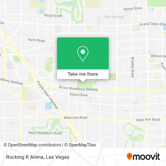
See Rocking K Arena, Las Vegas, on the map
Public Transit to Rocking K Arena in Las Vegas
Wondering how to get to Rocking K Arena in Las Vegas? Moovit helps you find the best way to get to Rocking K Arena with step-by-step directions from the nearest public transit station.
Moovit provides free maps and live directions to help you navigate through your city. View schedules, routes, timetables, and find out how long does it take to get to Rocking K Arena in real time.
Looking for the nearest stop or station to Rocking K Arena? Check out this list of stops closest to your destination: Wb Azure After Tenaya.
Bus: 106, 220.
Want to see if there’s another route that gets you there at an earlier time? Moovit helps you find alternative routes or times. Get directions from and directions to Rocking K Arena easily from the Moovit App or Website.
We make riding to Rocking K Arena easy, which is why over 1.7 million users, including users in Las Vegas, trust Moovit as the best app for public transit. You don’t need to download an individual bus app or train app, Moovit is your all-in-one transit app that helps you find the best bus time or train time available.
For information on prices of bus, costs and ride fares to Rocking K Arena, please check the Moovit app.
Use the app to navigate to popular places including to the airport, hospital, stadium, grocery store, mall, coffee shop, school, college, and university.
Location: Las Vegas
- N Tenaya Way,
- Ely at Centennial Hills,
- Las Vegas Public Relations Co.,
- Legacy Trading Cards,
- W Ann Rd,
- Sonny Sushi Albertsons,
- Coinstar,
- N Buffalo Dr,
- Reward Ur Self,
- In-N-Out Burger (innout),
- N Jones Blvd / W Tropical Pkwy,
- Ann Rd / U.S. 95 Post,
- W Tropical Pkwy,
- Ocho Rios St,
- Negril Ave,
- Elkhorn @ Buffalo (W),
- Centennial Hills,
- Ralph Cadwallader Middle School,
- Mount Charleston,
- Mount Charleston Resort
Places Near Rocking K Arena (Las Vegas)
- Walmart, Las Vegas,
- Walmart Supercenter, Las Vegas,
- Omega Mart, Las Vegas,
- The Neon Museum, Las Vegas,
- Arte Museum Las Vegas, Paradise,
- Las Vegas Premium Outlets-North, Enterprise,
- Meow Wolf - Las Vegas (Meow Wolf's Omega Mart), Las Vegas,
- Lee Canyon, Las Vegas,
- The Palms Casino Resort, Paradise,
- Zak Bagans Haunted Museum, Las Vegas,
- Town Square, Enterprise,
- Welcome To Fabulous Las Vegas Sign, Paradise,
- Las Vegas South Premium Outlets, Enterprise,
- Area15, Las Vegas,
- Trump International Hotel Las Vegas, Paradise,
- Las Vegas North Premium Outlets, Las Vegas,
- Koolsville Tattoos, Las Vegas,
- Allegiant Stadium, Paradise,
- The Deuce Bus Stop at Fremont St, Las Vegas,
- Gold & Silver Pawn Shop, Las Vegas
How to get to popular places in Las Vegas with public transit
Get around Las Vegas by public transit!
Traveling around Las Vegas has never been so easy. See step by step directions as you travel to any attraction, street or major public transit station. View bus and train schedules, arrival times, service alerts and detailed routes on a map, so you know exactly how to get to anywhere in Las Vegas.
When traveling to any destination around Las Vegas use Moovit's Live Directions with Get Off Notifications to know exactly where and how far to walk, how long to wait for your line, and how many stops are left. Moovit will alert you when it's time to get off — no need to constantly re-check whether yours is the next stop.
Wondering how to use public transit in Las Vegas or how to pay for public transit in Las Vegas? Moovit public transit app can help you navigate your way with public transit easily, and at minimum cost. It includes public transit fees, ticket prices, and costs. Looking for a map of Las Vegas public transit lines? Moovit public transit app shows all public transit maps in Las Vegas with all Bus and Monorail routes and stops on an interactive map.
Las Vegas has 2 transit type(s), including: Bus and Monorail, operated by several transit agencies, including RTCSNV, City of Las Vegas, Alvand Transportation, Vegas Airporter, Las Vegas Monorail, FlixBus-us and Greyhound-us