How to get to Rodeo Drive by bus?
Click on the bus route to see step by step directions with maps, line arrival times and updated time schedules.
From DoubleTree by Hilton Edmonton Downtown, Edmonton
45 minFrom Mcnally High School, Edmonton
51 minFrom Makami College, Edmonton
67 minFrom Kindersley Transport, Edmonton
77 minFrom Lister Centre - University of Alberta, Edmonton
46 minFrom Guru Nanak Dev Healing Garden, Edmonton
49 minFrom Mazankowski Heart Institute - Cardiac Outpatient, Edmonton
48 minFrom Jubilee Auditorium, Edmonton
48 minFrom Rice Howard Way, Edmonton
34 minFrom 8440 112 Street Northwest, Edmonton
49 min
Bus stops near Rodeo Drive in Edmonton
Light Rail stations near Rodeo Drive in Edmonton
- Coliseum Station, 9 min walk,VIEW
Bus lines to Rodeo Drive in Edmonton
What are the closest stations to Rodeo Drive?
The closest stations to Rodeo Drive are:
- 75 Street & 139 Avenue is 52 meters away, 1 min walk.
- 74 Street & 137 Avenue is 320 meters away, 5 min walk.
- Coliseum Station is 657 meters away, 9 min walk.
- 74 Street & 144 Avenue is 730 meters away, 10 min walk.
Which bus lines stop near Rodeo Drive?
These bus lines stop near Rodeo Drive: 054, 114.
What’s the nearest light rail station to Rodeo Drive in Edmonton?
The nearest light rail station to Rodeo Drive in Edmonton is Coliseum Station. It’s a 9 min walk away.
What’s the nearest bus station to Rodeo Drive in Edmonton?
The nearest bus station to Rodeo Drive in Edmonton is 75 Street & 139 Avenue. It’s a 1 min walk away.
What time is the first bus to Rodeo Drive in Edmonton?
The 114 is the first bus that goes to Rodeo Drive in Edmonton. It stops nearby at 6:43 AM.
What time is the last bus to Rodeo Drive in Edmonton?
The 054 is the last bus that goes to Rodeo Drive in Edmonton. It stops nearby at 12:40 AM.
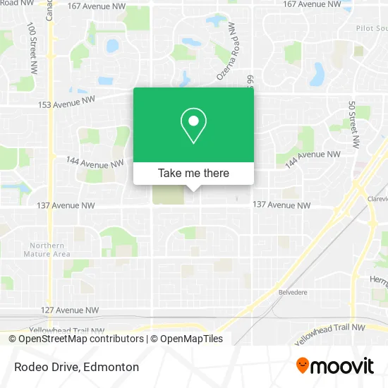
See Rodeo Drive, Edmonton, on the map
Public Transit to Rodeo Drive in Edmonton
Wondering how to get to Rodeo Drive in Edmonton? Moovit helps you find the best way to get to Rodeo Drive with step-by-step directions from the nearest public transit station.
Moovit provides free maps and live directions to help you navigate through your city. View schedules, routes, timetables, and find out how long does it take to get to Rodeo Drive in real time.
Looking for the nearest stop or station to Rodeo Drive? Check out this list of stops closest to your destination: 75 Street & 139 Avenue; 74 Street & 137 Avenue; Coliseum Station; 74 Street & 144 Avenue.
Bus: 054, 114, 128.
Want to see if there’s another route that gets you there at an earlier time? Moovit helps you find alternative routes or times. Get directions from and directions to Rodeo Drive easily from the Moovit App or Website.
We make riding to Rodeo Drive easy, which is why over 1.5 million users, including users in Edmonton, trust Moovit as the best app for public transit. You don’t need to download an individual bus app or train app, Moovit is your all-in-one transit app that helps you find the best bus time or train time available.
For information on prices of bus, costs and ride fares to Rodeo Drive, please check the Moovit app.
Use the app to navigate to popular places including to the airport, hospital, stadium, grocery store, mall, coffee shop, school, college, and university.
Rodeo Drive Address: 138A Ave NW Edmonton, AB T5C 3R2 street in Edmonton
- Baba's Own Ukrainian Food,
- St Michael's Mobile X-Ray,
- Hope Medical Clinic,
- Mother's Maids,
- Royal Contracting & Renovations,
- Simple Maid Services,
- La Prep,
- TONY ROMA'S,
- Londonderry Dental Centre II,
- Ty Kolle Hockey Development,
- Tutti Frutti Frozen Yogurt,
- Du-All Heating & Plumbing,
- Michael Hill,
- Your Service Plus Estate Clean Up,
- Alberta Fun Money Casinos Ltd,
- Available Electric Mot,
- RICKI'S,
- Carlton Cards,
- Wild Yard Landscaping,
- Clearview
Places Near Rodeo Drive (Edmonton)
- Edmonton Valley Zoo, Edmonton,
- Edmonton EXPO Centre, Edmonton,
- Fort Edmonton Park, Edmonton,
- Whyte Avenue, Edmonton,
- Cross Cancer Institute, Edmonton,
- Edmonton Commonwealth Stadium, Edmonton,
- Canada Place Service Canada Centre, Edmonton,
- Londonderry Mall, Edmonton,
- Kingsway Mall, Edmonton,
- Northgate Centre, Edmonton,
- MacEwan University, Edmonton,
- Rogers Place, Edmonton,
- University of Alberta, Edmonton,
- Grey Nuns Community Hospital, Edmonton,
- West Edmonton Mall, Edmonton,
- Kaye Edmonton Clinic, Edmonton,
- Edmonton VIA Rail Station, Edmonton,
- Alberta Legislature Building, Edmonton,
- Royal Alexandra Hospital, Edmonton,
- Borden Park, Edmonton
How to get to popular places in Edmonton with public transit
Get around Edmonton by public transit!
Traveling around Edmonton has never been so easy. See step by step directions as you travel to any attraction, street or major public transit station. View bus and train schedules, arrival times, service alerts and detailed routes on a map, so you know exactly how to get to anywhere in Edmonton.
When traveling to any destination around Edmonton use Moovit's Live Directions with Get Off Notifications to know exactly where and how far to walk, how long to wait for your line, and how many stops are left. Moovit will alert you when it's time to get off — no need to constantly re-check whether yours is the next stop.
Wondering how to use public transit in Edmonton or how to pay for public transit in Edmonton? Moovit public transit app can help you navigate your way with public transit easily, and at minimum cost. It includes public transit fees, ticket prices, and costs. Looking for a map of Edmonton public transit lines? Moovit public transit app shows all public transit maps in Edmonton with all Bus and Light Rail routes and stops on an interactive map.
Edmonton has 2 transit type(s), including: Bus and Light Rail, operated by several transit agencies, including ETS LRT, ETS, Strathcona County Transit, St. Albert Transit, Spruce Grove Transit, Fort Saskatchewan Transit, Beaumont Transit and Leduc Transit