How to get to Rojocars by bus?
Click on the bus route to see step by step directions with maps, line arrival times and updated time schedules.
From El Corte Inglés - Centro Comercial Campo de las Naciones, Madrid
50 minFrom Terminal 1, Madrid
57 minFrom Cercanías Torrejón de Ardoz, Torrejón De Ardoz
39 minFrom Estadio Wanda Metropolitano, Madrid
80 minFrom Centro Comercial Plenilunio, Madrid
65 minFrom Calle de Josefa Valcárcel, Madrid
38 minFrom Valdebebas, Madrid
58 minFrom Antena 3 Televisión, San Sebastián De Los Reyes
49 minFrom Aeropuerto de Barajas, Madrid
78 minFrom El Corte Inglés, Alcalá De Henares
72 min
Bus stops near Rojocars in Paracuellos De Jarama
Bus lines to Rojocars in Paracuellos De Jarama
What are the closest stations to Rojocars?
The closest stations to Rojocars are:
- Av. Charcos - P.º Las Camelias is 219 meters away, 3 min walk.
- P.º Camelias - Colegio is 371 meters away, 5 min walk.
Which bus lines stop near Rojocars?
These bus lines stop near Rojocars: 210, 212, 215.
What’s the nearest bus station to Rojocars in Paracuellos De Jarama?
The nearest bus station to Rojocars in Paracuellos De Jarama is Av. Charcos - P.º Las Camelias. It’s a 3 min walk away.
What time is the first bus to Rojocars in Paracuellos De Jarama?
The N204 is the first bus that goes to Rojocars in Paracuellos De Jarama. It stops nearby at 3:18 AM.
What time is the last bus to Rojocars in Paracuellos De Jarama?
The N204 is the last bus that goes to Rojocars in Paracuellos De Jarama. It stops nearby at 2:57 AM.
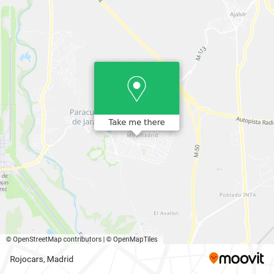
See Rojocars, Paracuellos De Jarama, on the map
Public Transit to Rojocars in Paracuellos De Jarama
Wondering how to get to Rojocars in Paracuellos De Jarama? Moovit helps you find the best way to get to Rojocars with step-by-step directions from the nearest public transit station.
Moovit provides free maps and live directions to help you navigate through your city. View schedules, routes, timetables, and find out how long does it take to get to Rojocars in real time.
Looking for the nearest stop or station to Rojocars? Check out this list of stops closest to your destination: Av. Charcos - P.º Las Camelias; P.º Camelias - Colegio.
Bus: 210, 212, 215, N204, 1, 2.
Want to see if there’s another route that gets you there at an earlier time? Moovit helps you find alternative routes or times. Get directions from and directions to Rojocars easily from the Moovit App or Website.
We make riding to Rojocars easy, which is why over 1.5 million users, including users in Paracuellos De Jarama, trust Moovit as the best app for public transit. You don’t need to download an individual bus app or train app, Moovit is your all-in-one transit app that helps you find the best bus time or train time available.
For information on prices of bus and metro, costs and ride fares to Rojocars, please check the Moovit app.
Use the app to navigate to popular places including to the airport, hospital, stadium, grocery store, mall, coffee shop, school, college, and university.
Rojocars Address: Calle Mar del Norte, 4 28860 Paracuellos de Jarama street in Paracuellos De Jarama
- PowerDot Spain,
- Calle Quevedo 1,
- Centro Comercial Miramadrid,
- MERCADONA,
- Miramadrid (Centro Comercial Miramadrid),
- Av.Los Charcos-Pºlas Camelias,
- Calle Océano Índico 118,
- Calle Mar del Norte 21,
- Nuova Napoletana,
- Azafrán,
- Óptica Miramadrid,
- Camilo Jose Cela 11,
- Farmacia Alfonso Rodri,
- Dirección General De La Guardia Civil,
- Avenida de los Charcos,
- Junyi Wang,
- Cemaj - Miramadrid,
- Queguay Tienda,
- Calle Lope de Vega / Avenida de los Charcos,
- Colegio Antamira
Places Near Rojocars (Paracuellos De Jarama)
- Calle de López de Hoyos 169, Madrid,
- Wizink Center, Madrid,
- Centro Comercial Oasiz Madrid, Área Metropolitana De Madrid Y Corredor Del Henares,
- Estadio Wanda Metropolitano, Área Metropolitana De Madrid Y Corredor Del Henares,
- Mercadillo de Majadahonda, Majadahonda,
- Sala La Riviera, Madrid,
- Plaza Mayor, Madrid,
- Palacio De Vistalegre, Área Metropolitana De Madrid Y Corredor Del Henares,
- Centro Comercial Islazul, Área Metropolitana De Madrid Y Corredor Del Henares,
- Rastro De Madrid, Área Metropolitana De Madrid Y Corredor Del Henares,
- Hospital Universitario Ramón y Cajal, Madrid,
- Centro Comercial La Vaguada, Área Metropolitana De Madrid Y Corredor Del Henares,
- Tres Aguas, Alcorcón,
- Hospital Universitario La Paz, Madrid,
- Centro Comercial La Gavia, Área Metropolitana De Madrid Y Corredor Del Henares,
- Estacion de Chamartin, Madrid,
- Nassica, Área Metropolitana De Madrid Y Corredor Del Henares,
- Hospital Clínico Universitario San Carlos, Madrid,
- Mendez Alvaro, Madrid,
- Plenilunio, Área Metropolitana De Madrid Y Corredor Del Henares
How to get to popular places in Madrid with public transit
Get around Paracuellos De Jarama by public transit!
Traveling around Paracuellos De Jarama has never been so easy. See step by step directions as you travel to any attraction, street or major public transit station. View bus and train schedules, arrival times, service alerts and detailed routes on a map, so you know exactly how to get to anywhere in Paracuellos De Jarama.
When traveling to any destination around Paracuellos De Jarama use Moovit's Live Directions with Get Off Notifications to know exactly where and how far to walk, how long to wait for your line, and how many stops are left. Moovit will alert you when it's time to get off — no need to constantly re-check whether yours is the next stop.
Wondering how to use public transit in Paracuellos De Jarama or how to pay for public transit in Paracuellos De Jarama? Moovit public transit app can help you navigate your way with public transit easily, and at minimum cost. It includes public transit fees, ticket prices, and costs. Looking for a map of Paracuellos De Jarama public transit lines? Moovit public transit app shows all public transit maps in Paracuellos De Jarama with all Bus, Train, Metro and Light Rail routes and stops on an interactive map.
Madrid has 4 transit type(s), including: Bus, Train, Metro and Light Rail, operated by several transit agencies, including Metro de Madrid, Metro Ligero, Tranvía de Parla, Renfe Cercanías - Servicios de Autobús especiales, Renfe Cercanias, Renfe Cercanías, EMT, Interurbanos, Urbanos de Alcalá de Henares, Urbanos de Alcobendas, Urbanos de Alcorcón, Urbanos de Algete, Urbanos de Aranjuez, Urbanos de Arganda del Rey and Urbanos de Arroyomolinos