How to get to Rokc by bus?
Click on the bus route to see step by step directions with maps, line arrival times and updated time schedules.
From Pershing Place Apartments, Indianapolis City (Balance)
48 minFrom Kamran and Company, Indianapolis City (Balance)
76 minFrom CVS, Indianapolis City (Balance)
60 minFrom Heather Lynette Benson, MD, Indianapolis City (Balance)
52 minFrom AMC Theatres-Indianapolis 17 (AMC Showplace 17 IMAX), Indianapolis City (Balance)
81 minFrom Walmart 5443 Indianapolis, Beech Grove
63 minFrom Max Haas, Indianapolis City (Balance)
50 minFrom Binford Blvd / Allisonville Rd, Indianapolis City (Balance)
52 minFrom Crown Hill Funeral Home & Cemetery, Indianapolis City (Balance)
63 minFrom Wayne Township Bus Depot, Indianapolis City (Balance)
95 min
Bus stops near Rokc in Indianapolis City (Balance)
What are the closest stations to Rokc?
The closest stations to Rokc are:
- Perkins Ave & Legrande Ave is 949 yards away, 12 min walk.
- Prospect St & Pleasant Run Pkwy N Dr is 1195 yards away, 14 min walk.
Which bus lines stop near Rokc?
These bus lines stop near Rokc: 13, 26.
What’s the nearest bus station to Rokc in Indianapolis City (Balance)?
The nearest bus station to Rokc in Indianapolis City (Balance) is Perkins Ave & Legrande Ave. It’s a 12 min walk away.
What time is the first bus to Rokc in Indianapolis City (Balance)?
The 13 is the first bus that goes to Rokc in Indianapolis City (Balance). It stops nearby at 4:46 AM.
What time is the last bus to Rokc in Indianapolis City (Balance)?
The 26 is the last bus that goes to Rokc in Indianapolis City (Balance). It stops nearby at 11:20 PM.
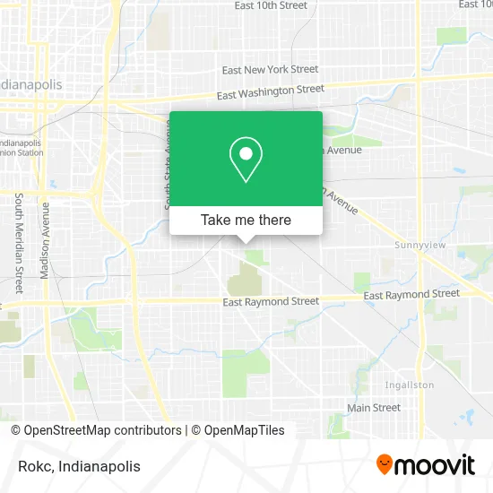
See Rokc, Indianapolis City (Balance), on the map
Public Transit to Rokc in Indianapolis City (Balance)
Wondering how to get to Rokc in Indianapolis City (Balance)? Moovit helps you find the best way to get to Rokc with step-by-step directions from the nearest public transit station.
Moovit provides free maps and live directions to help you navigate through your city. View schedules, routes, timetables, and find out how long does it take to get to Rokc in real time.
Looking for the nearest stop or station to Rokc? Check out this list of stops closest to your destination: Perkins Ave & Legrande Ave; Prospect St & Pleasant Run Pkwy N Dr.
Bus: 13, 26.
Want to see if there’s another route that gets you there at an earlier time? Moovit helps you find alternative routes or times. Get directions from and directions to Rokc easily from the Moovit App or Website.
We make riding to Rokc easy, which is why over 1.5 million users, including users in Indianapolis City (Balance), trust Moovit as the best app for public transit. You don’t need to download an individual bus app or train app, Moovit is your all-in-one transit app that helps you find the best bus time or train time available.
For information on prices of bus, costs and ride fares to Rokc, please check the Moovit app.
Use the app to navigate to popular places including to the airport, hospital, stadium, grocery store, mall, coffee shop, school, college, and university.
Rokc Address: 2810 E Minnesota St street in Indianapolis City (Balance)
- Tptaxes,
- Countrywide Home Health Services,
- JS Clothing & Wig Store,
- Bethel Park Elementary,
- Bethel Park Elementary - Piloted Schools,
- Tyashia Beauty House,
- America Zotung Christian Association,
- Crew Life Foundation,
- Stanley Strader Park - Indy Parks and Recreation,
- City of Indianapolis,
- D & J Barrington Variety,
- Sandra Bryant,
- Tyson Foods,
- Juan Tellez,
- S Keystone Ave / E Pleasant Run Parkway South Dr,
- Maria L Avila,
- Matt's Custom,
- Gomez Appliances,
- 2418 E Legrande Ave Parking,
- Pushback-Racks.Com
Places Near Rokc (Indianapolis City (Balance))
- I U Health Methodist Hospital, Indianapolis City (Balance),
- Plainfield, IN, Plainfield,
- Gainbridge Fieldhouse, Indianapolis City (Balance),
- Castleton Square Mall, Indianapolis,
- Lucas Oil Stadium, Indianapolis City (Balance),
- Eskenazi Hospital, Indianapolis City (Balance),
- THE BALT, Indianapolis City (Balance),
- I-465 / I-65 Interchange, Indianapolis City (Balance),
- 119 W 19th St Parking, Indianapolis City (Balance),
- Cotter's Massage Parlor With Happy Endings, Indianapolis City (Balance),
- St. Vincent Hospital - Indianapolis, Indianapolis City (Balance),
- Methodist Hospital of Indianapolis, Indianapolis City (Balance),
- Indiana Convention Center, Indianapolis City (Balance),
- Jersey Barn, Indianapolis City (Balance),
- Indiana, Indianapolis City (Balance),
- St. Vincent entrance #1, Indianapolis City (Balance),
- Train Ride At Castleton Mall, Indianapolis City (Balance),
- Lilly Corporate Center (Eli Lilly & Co), Indianapolis City (Balance),
- Indianapolis Airport Zone 2, Indianapolis City (Balance),
- Indianapolis Motor Speedway, Speedway
How to get to popular places in Indianapolis with public transit
Get around Indianapolis City (Balance) by public transit!
Traveling around Indianapolis City (Balance) has never been so easy. See step by step directions as you travel to any attraction, street or major public transit station. View bus and train schedules, arrival times, service alerts and detailed routes on a map, so you know exactly how to get to anywhere in Indianapolis City (Balance).
When traveling to any destination around Indianapolis City (Balance) use Moovit's Live Directions with Get Off Notifications to know exactly where and how far to walk, how long to wait for your line, and how many stops are left. Moovit will alert you when it's time to get off — no need to constantly re-check whether yours is the next stop.
Wondering how to use public transit in Indianapolis City (Balance) or how to pay for public transit in Indianapolis City (Balance)? Moovit public transit app can help you navigate your way with public transit easily, and at minimum cost. It includes public transit fees, ticket prices, and costs. Looking for a map of Indianapolis City (Balance) public transit lines? Moovit public transit app shows all public transit maps in Indianapolis City (Balance) with all bus routes and stops on an interactive map.
Indianapolis has 1 transit type(s), including: bus, operated by several transit agencies, including IndyGo, FlixBus-us and Greyhound-us