How to get to Roly Poly by bus?
Click on the bus route to see step by step directions with maps, line arrival times and updated time schedules.
From Clouse Jo Leigh Attorney at Law, Fayettevil
31 minFrom Ballash Woodworks, Fayettevil
74 minFrom The Sunshine House, Fayettevil
58 minFrom Hopeville, Fayettevil
41 minFrom Spread the Word NC, Fayettevil
73 minFrom Recycled Plastics, Fayettevil
41 minFrom St. George Coptic Orthodox Church, Fayetteville NC, Fayettevil
66 minFrom Cliffdale Small Engine, Fayettevil
56 minFrom Encounter with God Ministries, Inc., Fayettevil
66 min
Bus stops near Roly Poly in Fayettevil
- N Mcpherson Church Rd/Vancouver Dr, 1 min walk,VIEW
What are the closest stations to Roly Poly?
The closest stations to Roly Poly are:
- N Mcpherson Church Rd/Vancouver Dr is 60 yards away, 1 min walk.
Which bus line stops near Roly Poly?
14 (505 Franklin St→Hay St/Mental Health)
What’s the nearest bus station to Roly Poly in Fayettevil?
The nearest bus station to Roly Poly in Fayettevil is N Mcpherson Church Rd/Vancouver Dr. It’s a 1 min walk away.
What time is the first bus to Roly Poly in Fayettevil?
The 14 is the first bus that goes to Roly Poly in Fayettevil. It stops nearby at 6:17 AM.
What time is the last bus to Roly Poly in Fayettevil?
The 14 is the last bus that goes to Roly Poly in Fayettevil. It stops nearby at 7:16 PM.
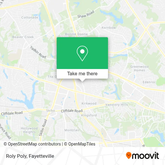
See Roly Poly, Fayettevil, on the map
Public Transit to Roly Poly in Fayettevil
Wondering how to get to Roly Poly in Fayettevil? Moovit helps you find the best way to get to Roly Poly with step-by-step directions from the nearest public transit station.
Moovit provides free maps and live directions to help you navigate through your city. View schedules, routes, timetables, and find out how long does it take to get to Roly Poly in real time.
Looking for the nearest stop or station to Roly Poly? Check out this list of stops closest to your destination: N Mcpherson Church Rd/Vancouver Dr.
Bus: 14, 14 WKE.
Want to see if there’s another route that gets you there at an earlier time? Moovit helps you find alternative routes or times. Get directions from and directions to Roly Poly easily from the Moovit App or Website.
We make riding to Roly Poly easy, which is why over 1.5 million users, including users in Fayettevil, trust Moovit as the best app for public transit. You don’t need to download an individual bus app or train app, Moovit is your all-in-one transit app that helps you find the best bus time or train time available.
For information on prices of bus, costs and ride fares to Roly Poly, please check the Moovit app.
Use the app to navigate to popular places including to the airport, hospital, stadium, grocery store, mall, coffee shop, school, college, and university.
Roly Poly Address: 306 N McPherson Church Rd street in Fayettevil
- Mellow Mushroom Pizza Bakers,
- Wachovia,
- Samurai,
- Hamrick's,
- Cheddar's Scratch Kitchen,
- Brian Canady,
- Jeremy White,
- Mitch Guy,
- Marilyn Mikan,
- sweetFrog Premium Frozen Yogurt,
- Academy of Christian Martial Arts,
- Antoinettes Boutique,
- Black River Paintball,
- Piggy Hut,
- Apex Covantage,
- The Puzzle,
- US Flea Market Mall,
- Group Travel Zone,
- Be Fit USA,
- Jaggers
Places Near Roly Poly (Fayettevil)
- Fayetteville State University, Fayettevil,
- US-301 & Old Wilmington Rd, Fayettevil,
- America's Best Contacts & Eyeglasses, Fayettevil,
- Mad Flavors, Fayettevil,
- Cumberland County Courthouse, Fayettevil,
- Reid Ross Classical School, Fayettevil,
- William R. Collins Administration Building, Fayettevil,
- Cape Fear Valley Medical Center, Fayettevil,
- Walmart, Fayettevil,
- Cape Fear Valley Hospital, Fayettevil,
- Lot F, Fayettevil,
- Sam's Club, Fayettevil,
- GOODYEAR, Fayettevil,
- Pinoy Asian Groceries, Fayettevil,
- Manna Church, Fayettevil,
- Fayetteville Technical Community College, Fayettevil,
- Food Lion, Fayettevil,
- Cumberland County Employee Wellness Clinic, Fayettevil,
- Manesh MD Thomas Facc Fscai, Fayettevil,
- 108 Hay St Parking, Fayettevil
How to get to popular places in Fayetteville with public transit
Get around Fayettevil by public transit!
Traveling around Fayettevil has never been so easy. See step by step directions as you travel to any attraction, street or major public transit station. View bus and train schedules, arrival times, service alerts and detailed routes on a map, so you know exactly how to get to anywhere in Fayettevil.
When traveling to any destination around Fayettevil use Moovit's Live Directions with Get Off Notifications to know exactly where and how far to walk, how long to wait for your line, and how many stops are left. Moovit will alert you when it's time to get off — no need to constantly re-check whether yours is the next stop.
Wondering how to use public transit in Fayettevil or how to pay for public transit in Fayettevil? Moovit public transit app can help you navigate your way with public transit easily, and at minimum cost. It includes public transit fees, ticket prices, and costs. Looking for a map of Fayettevil public transit lines? Moovit public transit app shows all public transit maps in Fayettevil with all bus routes and stops on an interactive map.
Fayetteville has 1 transit type(s), including: bus, operated by several transit agencies, including City of Fayetteville, Greyhound-us and FlixBus-us