How to get to Roma Kitchen by bus?
Click on the bus route to see step by step directions with maps, line arrival times and updated time schedules.
From Twin Lakes Tennis, Paradise
69 minFrom Rtc bus stop at Las Vegas Premium Outlet South, Enterprise
42 minFrom JCK Las Vegas Jewelry Show Turkish Pavilion, Paradise
73 minFrom Henderson NV, Henderson
32 minFrom E Sunset Rd / S Maryland Pkwy, Paradise
77 minFrom Oasis RV Resort, Enterprise
45 minFrom IKEA - Las Vegas, Spring Valley
65 minFrom W Horizon Ridge Pkwy / S Eastern Ave, Henderson
34 minFrom Hilton Garden Inn Las Vegas Strip South, Enterprise
41 minFrom Nevada Caregiver Agency, Paradise
76 min
Bus stop near Roma Kitchen in Enterprise
- Nb Decatur After Pyle, 6 min walk,VIEW
Bus lines to Roma Kitchen in Enterprise
- 221, 221 Cactus Westbound,VIEW
What are the closest stations to Roma Kitchen?
The closest stations to Roma Kitchen are:
- Nb Decatur After Pyle is 470 yards away, 6 min walk.
Which bus lines stop near Roma Kitchen?
These bus lines stop near Roma Kitchen: 103, 221.
What’s the nearest bus station to Roma Kitchen in Enterprise?
The nearest bus station to Roma Kitchen in Enterprise is Nb Decatur After Pyle. It’s a 6 min walk away.
What time is the first bus to Roma Kitchen in Enterprise?
The 221 is the first bus that goes to Roma Kitchen in Enterprise. It stops nearby at 4:45 AM.
What time is the last bus to Roma Kitchen in Enterprise?
The 221 is the last bus that goes to Roma Kitchen in Enterprise. It stops nearby at 1:25 AM.
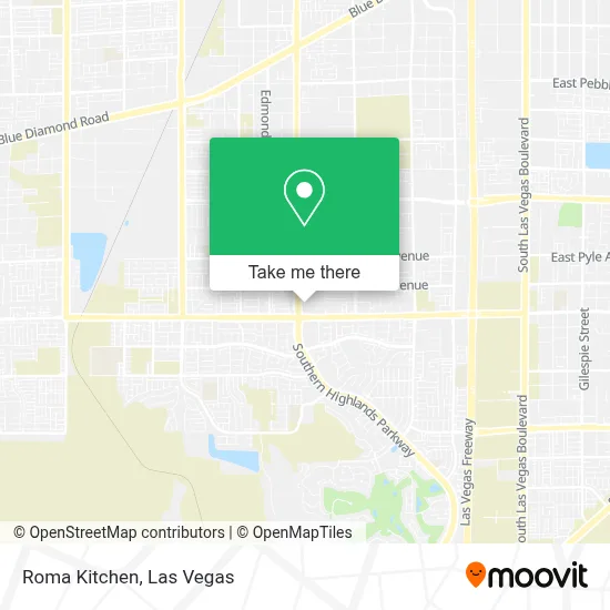
See Roma Kitchen, Enterprise, on the map
Public Transit to Roma Kitchen in Enterprise
Wondering how to get to Roma Kitchen in Enterprise? Moovit helps you find the best way to get to Roma Kitchen with step-by-step directions from the nearest public transit station.
Moovit provides free maps and live directions to help you navigate through your city. View schedules, routes, timetables, and find out how long does it take to get to Roma Kitchen in real time.
Looking for the nearest stop or station to Roma Kitchen? Check out this list of stops closest to your destination: Nb Decatur After Pyle.
Bus: 103, 221.
Want to see if there’s another route that gets you there at an earlier time? Moovit helps you find alternative routes or times. Get directions from and directions to Roma Kitchen easily from the Moovit App or Website.
We make riding to Roma Kitchen easy, which is why over 1.7 million users, including users in Enterprise, trust Moovit as the best app for public transit. You don’t need to download an individual bus app or train app, Moovit is your all-in-one transit app that helps you find the best bus time or train time available.
For information on prices of bus, costs and ride fares to Roma Kitchen, please check the Moovit app.
Use the app to navigate to popular places including to the airport, hospital, stadium, grocery store, mall, coffee shop, school, college, and university.
Roma Kitchen Address: 10420 S Decatur Blvd street in Enterprise
- Coinstar - Bitcoin ATM,
- Honey Hills Ave,
- Perth Ct,
- Laurel Tree St,
- S Decatur Blvd / W Silverado Ranch Blvd,
- Lois & Jerry Tarkanian Middle School,
- Glades Pike Ct,
- Kaslo Ave,
- Stirling Heights at Highland Hills by Richmond American Homes,
- Desert Oasis High School,
- The Grandview at Las Vegas,
- Shoe Shine Stand @ The South Point Hotel And Casino,
- South Point Hotel, Casino & Spa,
- South Point Casino Arena and Equestrian Center,
- South Point Hotel & Casino,
- Hurley's Nursery,
- Village Pub Mountains Edge,
- A & F Repairs Llc,
- Sbarro,
- 76
Places Near Roma Kitchen (Enterprise)
- Arte Museum Las Vegas, Paradise,
- Lee Canyon, Las Vegas,
- Las Vegas South Premium Outlets, Enterprise,
- Koolsville Tattoos, Las Vegas,
- Area15, Las Vegas,
- Gold & Silver Pawn Shop, Las Vegas,
- The Palms Casino Resort, Paradise,
- Las Vegas North Premium Outlets, Las Vegas,
- Welcome To Fabulous Las Vegas Sign, Paradise,
- Las Vegas Premium Outlets-North, Enterprise,
- Town Square, Enterprise,
- Walmart, Las Vegas,
- The Neon Museum, Las Vegas,
- Walmart Supercenter, Las Vegas,
- Trump International Hotel Las Vegas, Paradise,
- The Deuce Bus Stop at Fremont St, Las Vegas,
- Meow Wolf - Las Vegas (Meow Wolf's Omega Mart), Las Vegas,
- Allegiant Stadium, Paradise,
- Zak Bagans Haunted Museum, Las Vegas,
- Omega Mart, Las Vegas
How to get to popular places in Las Vegas with public transit
Get around Enterprise by public transit!
Traveling around Enterprise has never been so easy. See step by step directions as you travel to any attraction, street or major public transit station. View bus and train schedules, arrival times, service alerts and detailed routes on a map, so you know exactly how to get to anywhere in Enterprise.
When traveling to any destination around Enterprise use Moovit's Live Directions with Get Off Notifications to know exactly where and how far to walk, how long to wait for your line, and how many stops are left. Moovit will alert you when it's time to get off — no need to constantly re-check whether yours is the next stop.
Wondering how to use public transit in Enterprise or how to pay for public transit in Enterprise? Moovit public transit app can help you navigate your way with public transit easily, and at minimum cost. It includes public transit fees, ticket prices, and costs. Looking for a map of Enterprise public transit lines? Moovit public transit app shows all public transit maps in Enterprise with all Bus and Monorail routes and stops on an interactive map.
Las Vegas has 2 transit type(s), including: Bus and Monorail, operated by several transit agencies, including RTCSNV, City of Las Vegas, Alvand Transportation, Vegas Airporter, Las Vegas Monorail, FlixBus-us and Greyhound-us