Rome Municipality stop - Thursday schedule
| Line | Direction | Time |
|---|---|---|
| 4 | Pompei Mazzini | 6:07 AM |
| 1 | Dragonea | 6:35 AM |
| 6 | Social Center | 6:37 AM |
| 9 | Siano | 6:40 AM |
| 4 | Pompei Mazzini | 6:52 AM |
| 5 | Fuorni Terminal | 6:58 AM |
| 2 | Vinciprova | 6:59 AM |
| 6 | Social Center | 7:07 AM |
| 9 | Siano | 7:14 AM |
| 1 | Dragonea | 7:21 AM |
| 5 | Fuorni Terminal | 7:25 AM |
| 6 | Social Center | 7:37 AM |
| 4 | Pompei Mazzini | 7:37 AM |
| 2 | Vinciprova | 7:40 AM |
| 1 | Dragonea | 7:43 AM |
| MANSI | Naples - Via Depretis | 7:47 AM |
| 9 | Siano | 7:51 AM |
| 43 | Verdi Theater | 7:55 AM |
| 5 | Fuorni Terminal | 7:59 AM |
| 6 | Social Center | 8:07 AM |
| 20 | Vinciprova | 8:18 AM |
| 1 | Dragonea | 8:19 AM |
| 5 | Fuorni Terminal | 8:20 AM |
| 4 | Pompei Mazzini | 8:22 AM |
| 9 | Siano | 8:26 AM |
Directions to Rome Municipality stop (Salerno) with public transit
The following transit lines have routes that pass near Rome Municipality
 Bus: 21, 4, 5, 6, A.
- Train: M, R.
- Ferry: A1, A2, ALICOST, NLG, NLG.
How to get to Rome Municipality stop by bus?
Click on the bus route to see step by step directions with maps, line arrival times and updated time schedules.
How to get to Rome Municipality stop by train?
Click on the train route to see step by step directions with maps, line arrival times and updated time schedules.
Ferry stations near Rome Municipality station in Salerno
- Salerno Molo Manfredi, 3 min walk,
- Salerno Molo Masuccio, 30 min walk,
Bus stops near Rome Municipality stop in Salerno
- Pertini School Barra, 5 min walk,
- Roma Province, 6 min walk,
- Piazza M. Luciani, 6 min walk,
- De Renzi 18, 15 min walk,
Train stations near Rome Municipality station in Salerno
- Cathedral-Vernieri Street, 22 min walk,
- Salerno, 28 min walk,
Bus lines to Rome Municipality stop in Salerno
- A, Bracigliano - Salerno,
- SITA, Salerno- Napoli (via aut. - via S.S.18 - UniSA Fisciano/Lancusi),
- SITA, Pogerola - Amalfi - Salerno,
- 1, Dragonea - Canalone,
- 2, Vinciprova - Sordina (via Manganario),
- 4, Pompeii - Salerno (vinciprova),
- 5, Fuorni - Industrial Zone - Ligea - Fuorni (circular),
- 6, Vinciprova - Ligea - Mariconda - Europa Districts - Italia,
- 8, Salerno (Vinciprova) - Battipaglia,
- 9, Siano - Salerno (Vinciprova),
- 20, Vinciprova - Sordina (via Via Irno),
- 40, Sant'Eustachio - Via Ligea - Sant'Eustachio (circular),
- 43, Teatro Verdi - Santa Maria Delle Grazie,
- MANSI, Naples - Via Depretis,
- 21, Ligea Terminal,
- SITA, Salerno-Cava-Nocera-Highway-Naples-Bari,
- 26, Vinciprova,
What are the closest stations to Rome Municipality?
The closest stations to Rome Municipality are:
- Salerno Molo Manfredi station is 197 meters away, 3 min walk.
- Pertini School Barra stop is 316 meters away, 5 min walk.
- Roma Province stop is 415 meters away, 6 min walk.
- Piazza M. Luciani stop is 434 meters away, 6 min walk.
- De Renzi 18 stop is 975 meters away, 15 min walk.
- Cathedral-Vernieri Street station is 1489 meters away, 22 min walk.
- Salerno station is 2110 meters away, 28 min walk.
- Salerno Molo Masuccio station is 2272 meters away, 30 min walk.
Which bus lines stop near Rome Municipality?
These bus lines stop near Rome Municipality: 21, 4, 5, 6, A, SITA.
Which train lines stop near Rome Municipality?
These train lines stop near Rome Municipality: M, R.
What’s the nearest train station to Rome Municipality in Salerno?
The nearest train station to Rome Municipality in Salerno is Cathedral-Vernieri Street. It’s a 22 min walk away.
What’s the nearest bus station to Rome Municipality in Salerno?
The nearest bus station to Rome Municipality in Salerno is Pertini School Barra. It’s a 5 min walk away.
What’s the nearest ferry station to Rome Municipality in Salerno?
The nearest ferry station to Rome Municipality in Salerno is Salerno Molo Manfredi. It’s a 3 min walk away.
What time is the first train to Rome Municipality in Salerno?
The R is the first train that goes to Rome Municipality in Salerno. It stops nearby at 5:00 AM.
What time is the last train to Rome Municipality in Salerno?
The R is the last train that goes to Rome Municipality in Salerno. It stops nearby at 11:06 PM.
What time is the first bus to Rome Municipality in Salerno?
The SITA is the first bus that goes to Rome Municipality in Salerno. It stops nearby at 6:03 AM.
What time is the last bus to Rome Municipality in Salerno?
The 2 is the last bus that goes to Rome Municipality in Salerno. It stops nearby at 11:11 PM.
What time is the first ferry to Rome Municipality in Salerno?
The A1 is the first ferry that goes to Rome Municipality in Salerno. It stops nearby at 7:45 AM.
What time is the last ferry to Rome Municipality in Salerno?
The ALICOST is the last ferry that goes to Rome Municipality in Salerno. It stops nearby at 8:35 PM.
Rome Municipality station
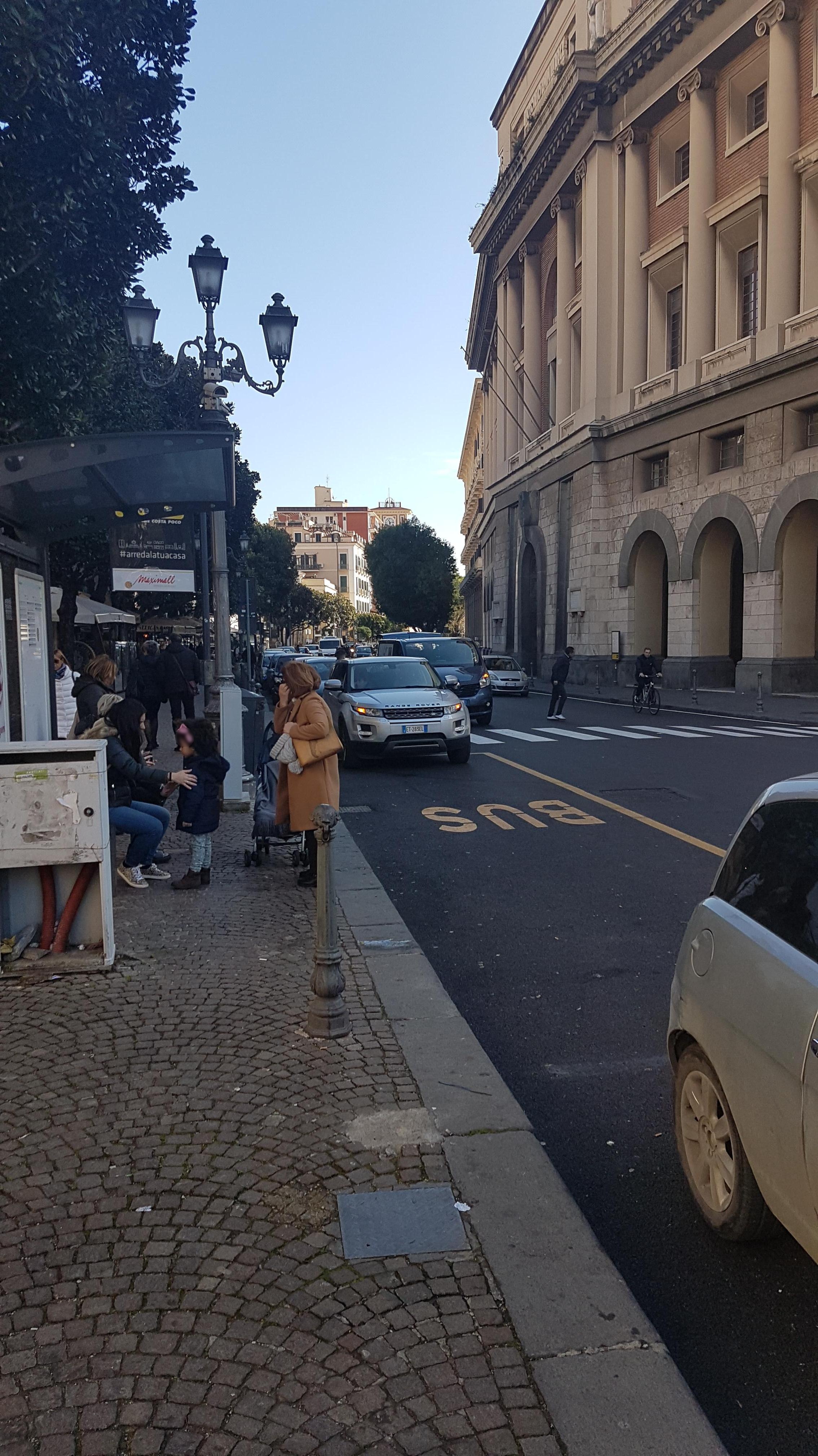 Taken by Stefano D.
See Rome Municipality stop, Salerno, on the map
Public transit to Rome Municipality stop in Salerno
Looking for directions to Rome Municipality in Salerno, Italy?
Download the Moovit App to find the current schedule and step-by-step directions for Bus or Train routes that pass through Rome Municipality.
Looking for the nearest stops closest to Rome Municipality ? Check out this list of closest stops to your destination: Salerno Molo Manfredi; Pertini School Barra; Roma Province; Piazza M. Luciani; De Renzi 18; Cathedral-Vernieri Street; Salerno; Salerno Molo Masuccio.
Bus: 21, 4, 5, 6, A, SITA, 1, 2, MANSI.Train: M, R.Ferry: A1, A2, ALICOST, NLG, NLG.
We make riding on public transit to Rome Municipality easy, which is why over 1.7 billion users, including users in Salerno trust Moovit as the best app for public transit.
Use the app to navigate to popular places including to the airport, hospital, stadium, grocery store, mall, coffee shop, school, college, and university.
The first line to this stop is 4, at 6:07 AM, and the last line is 2 at 10:54 PM.
Vicolo Colonne, Salerno, Italy
This stop serves Busitalia Campania, Leonetti & Gallucci and Mansi Bus Lines’s lines
Popular routes from Rome Municipality stop, Salerno
- Salerno Molo Manfredi,
- Salerno Molo Masuccio
Ferry stations near Rome Municipality station
- Pertini School Barra,
- Roma Province,
- Piazza M. Luciani,
- De Renzi 18
Bus stops near Rome Municipality stop
- Cathedral-Vernieri Street,
- Salerno
Train stations near Rome Municipality station
- Casamarcianio - Schiava,
- St. Alfonso dei Liguori Street, 19,
- Nola,
- Cintia - San Paolo Park,
- San Giovanni a Teduccio - Martirano,
- Giordano Shop,
- Bacoli - Via Fusaro, 82,
- Ogliastro Marina (Provincial Road Towards Acciaroli),
- Felitto,
- Santa Maria Capua Vetere,
- Albanova,
- Vittorio Emanuele II - Comola Ricci Park,
- Monaci,
- Castelnuovo Di Conza,
- Acciaroli (Pollica Bay),
- Pizzolano - People's Square,
- Somma Vesuviana - Via Pigno, 356,
- Rione Ponte Molina Di Vietri Sul Mare,
- Via Appia-Highway Junction,
- La Mennolella
Popular public transit stations in Salerno
Get around Salerno by public transit!
Traveling around Salerno has never been so easy. See step by step directions as you travel to any attraction, street or major public transit station. View bus and train schedules, arrival times, service alerts and detailed routes on a map, so you know exactly how to get to anywhere in Salerno.
When traveling to any destination around Salerno use Moovit's Live Directions with Get Off Notifications to know exactly where and how far to walk, how long to wait for your line, and how many stops are left. Moovit will alert you when it's time to get off — no need to constantly re-check whether yours is the next stop.
Wondering how to use public transit in Salerno or how to pay for public transit in Salerno? Moovit public transit app can help you navigate your way with public transit easily, and at minimum cost. It includes public transit fees, ticket prices, and costs. Looking for a map of Salerno public transit lines? Moovit public transit app shows all public transit maps in Salerno with all Bus, Train, Metro, Light Rail, Ferry, Funicular and Gondola routes and stops on an interactive map.
Naples has 7 transit type(s), including: Bus, Train, Metro, Light Rail, Ferry, Funicular and Gondola, operated by several transit agencies, including ANM, EAV, EAV (operated by AirCampania), Curreri Travel, Busitalia Campania, SITA Sud, Trenitalia, Busitalia, AIR Campania (ex CTI-ATI), Shuttle, Tardugno, GepaTour Giugliano, Trotta Mobility Benevento, Alilauro and Caremar S.p.a.