How to get to Romeo's Pizza Pasta Express by bus?
Click on the bus route to see step by step directions with maps, line arrival times and updated time schedules.
From Staten Island Mall, Staten Island
230 minFrom Baps Shri Swaminarayan Mandir, Edison, NJ, USA, Edison
138 minFrom Staten Island, NY, Staten Island
253 minFrom DMV, Staten Island
256 minFrom Gunnison Beach, Highlands
56 minFrom HUUHHHH??, Woodbridge
107 minFrom South Ave, Staten Island
233 minFrom Perth Amboy, NJ, Perth Amboy
67 minFrom Edison NJ, Edison
141 min
Bus stops near Romeo's Pizza Pasta Express in Hazlet
Train station near Romeo's Pizza Pasta Express in Hazlet
- Aberdeen-Matawan, 32 min walk,VIEW
Bus lines to Romeo's Pizza Pasta Express in Hazlet
What are the closest stations to Romeo's Pizza Pasta Express?
The closest stations to Romeo's Pizza Pasta Express are:
- Hazlet - Rt 36 @ Poole Ave (Northbound) is 350 yards away, 5 min walk.
- Broadway 250' W Of Florence Ave. is 1378 yards away, 17 min walk.
- Aberdeen-Matawan is 2731 yards away, 32 min walk.
Which bus lines stop near Romeo's Pizza Pasta Express?
These bus lines stop near Romeo's Pizza Pasta Express: 602, 817.
Which train line stops near Romeo's Pizza Pasta Express?
NJCL (Bay Head)
What’s the nearest bus station to Romeo's Pizza Pasta Express in Hazlet?
The nearest bus station to Romeo's Pizza Pasta Express in Hazlet is Hazlet - Rt 36 @ Poole Ave (Northbound). It’s a 5 min walk away.
What time is the first train to Romeo's Pizza Pasta Express in Hazlet?
The NJCL is the first train that goes to Romeo's Pizza Pasta Express in Hazlet. It stops nearby at 4:17 AM.
What time is the last train to Romeo's Pizza Pasta Express in Hazlet?
The NJCL is the last train that goes to Romeo's Pizza Pasta Express in Hazlet. It stops nearby at 2:11 AM.
What time is the first bus to Romeo's Pizza Pasta Express in Hazlet?
The 602 is the first bus that goes to Romeo's Pizza Pasta Express in Hazlet. It stops nearby at 4:24 AM.
What time is the last bus to Romeo's Pizza Pasta Express in Hazlet?
The 602 is the last bus that goes to Romeo's Pizza Pasta Express in Hazlet. It stops nearby at 8:01 PM.
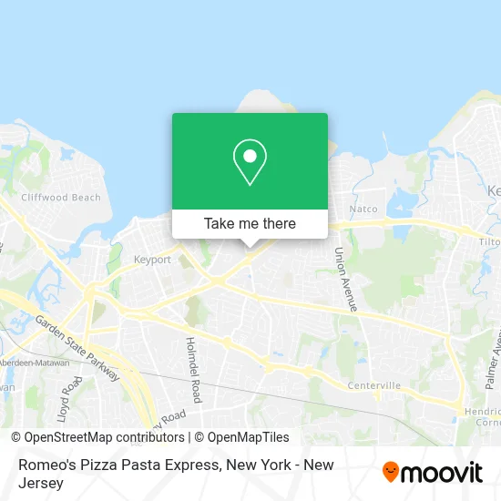
See Romeo's Pizza Pasta Express, Hazlet, on the map
Public Transit to Romeo's Pizza Pasta Express in Hazlet
Wondering how to get to Romeo's Pizza Pasta Express in Hazlet? Moovit helps you find the best way to get to Romeo's Pizza Pasta Express with step-by-step directions from the nearest public transit station.
Moovit provides free maps and live directions to help you navigate through your city. View schedules, routes, timetables, and find out how long does it take to get to Romeo's Pizza Pasta Express in real time.
Looking for the nearest stop or station to Romeo's Pizza Pasta Express? Check out this list of stops closest to your destination: Hazlet - Rt 36 @ Poole Ave (Northbound); Broadway 250' W Of Florence Ave.; Aberdeen-Matawan.
Bus: 602, 817, 604.Train: NJCL.
Want to see if there’s another route that gets you there at an earlier time? Moovit helps you find alternative routes or times. Get directions from and directions to Romeo's Pizza Pasta Express easily from the Moovit App or Website.
We make riding to Romeo's Pizza Pasta Express easy, which is why over 1.5 million users, including users in Hazlet, trust Moovit as the best app for public transit. You don’t need to download an individual bus app or train app, Moovit is your all-in-one transit app that helps you find the best bus time or train time available.
For information on prices of bus and train, costs and ride fares to Romeo's Pizza Pasta Express, please check the Moovit app.
Use the app to navigate to popular places including to the airport, hospital, stadium, grocery store, mall, coffee shop, school, college, and university.
Romeo's Pizza Pasta Express Address: 745 Poole Ave street in Hazlet
- My Little Nail Salon,
- Romeo's Pizza & Pasta Express,
- Galitos Bbq,
- The Community Ymca - Children's Achievement Center,
- Rosy Nail Salon,
- Rpp Express the Italian Lunch Spot,
- Liberty Tax,
- Number 1,
- Romeo's Pizza & Pasta (Hazlet),
- Liberty Tax,
- Poole Ave Liqours Karaoke,
- Rosy's Nail Salon,
- Western Union,
- Paradise Motors, Inc.,
- Tackle Box Fishing Co.,
- Hackensack Meridian Urgent Care,
- Hackensack Meridian Urgent Care - Hazlet,
- Union Ave Auto Sales,
- 1185 NJ-36 Parking,
- PNC Atm
Places Near Romeo's Pizza Pasta Express (Hazlet)
- Wall Street, Manhattan,
- San Gennaro Feast, Manhattan,
- Bellevue Hospital, Manhattan,
- Times Square, Manhattan,
- 376 Hudson Street, Manhattan,
- Chinatown, Manhattan,
- qqqq, Manhattan,
- 911 Memorial, Manhattan,
- Mountainside Hospital, Glen Ridge,
- 1 Police Plaza, Manhattan,
- 3 Stone St, Manhattan,
- Katz's Deli, Manhattan,
- Hudson Yards, Manhattan,
- 26 Federal Plaza, Manhattan,
- Queens Center Mall, Queens,
- 111 Centre New York City Supreme Court, Manhattan,
- 66 John Street, Manhattan,
- SoHo, Manhattan,
- Pier 83, Manhattan,
- Rockefeller Center, Manhattan
How to get to popular places in New York - New Jersey with public transit
Get around Hazlet by public transit!
Traveling around Hazlet has never been so easy. See step by step directions as you travel to any attraction, street or major public transit station. View bus and train schedules, arrival times, service alerts and detailed routes on a map, so you know exactly how to get to anywhere in Hazlet.
When traveling to any destination around Hazlet use Moovit's Live Directions with Get Off Notifications to know exactly where and how far to walk, how long to wait for your line, and how many stops are left. Moovit will alert you when it's time to get off — no need to constantly re-check whether yours is the next stop.
Wondering how to use public transit in Hazlet or how to pay for public transit in Hazlet? Moovit public transit app can help you navigate your way with public transit easily, and at minimum cost. It includes public transit fees, ticket prices, and costs. Looking for a map of Hazlet public transit lines? Moovit public transit app shows all public transit maps in Hazlet with all Bus, Train, Subway, Light Rail, Ferry and Cable Car routes and stops on an interactive map.
New York - New Jersey has 6 transit type(s), including: Bus, Train, Subway, Light Rail, Ferry and Cable Car, operated by several transit agencies, including MTA Subway, Metro-North Railroad, LIRR, PATH, MTA New York City Transit - Express routes, MTA Bus, NJ Transit, NYC Ferry, NICE bus, Bee-Line Bus, NJ Transit Rail, Norwalk Transit District, Hartford Line, River Valley Transit and HART