How to get to Rondo ONZ by bus?
Click on the bus route to see step by step directions with maps, line arrival times and updated time schedules.
From Łopuszańska 22, Warsaw
46 minFrom Targowisko "Bakalarska", Warsaw
41 minFrom Nowoursynowska, Warsaw
54 minFrom Tarchomin, Warsaw
50 minFrom M1 Centrum Handlowe Marki, Warsaw
40 minFrom Nowoursynowska 139, Warsaw
54 minFrom Ul. Burakowska, Warsaw
49 minFrom Szpital Południowy, Warsaw
52 minFrom Cmentarz Północny, Warsaw West
73 minFrom Decathlon Targówek, Warsaw
52 min
How to get to Rondo ONZ by train?
Click on the train route to see step by step directions with maps, line arrival times and updated time schedules.
How to get to Rondo ONZ by metro?
Click on the metro route to see step by step directions with maps, line arrival times and updated time schedules.
Bus stops near Rondo ONZ in Warsaw
Bus lines to Rondo ONZ in Warsaw
- 117, Gocław,VIEW
- N45, Lazurowa,VIEW
- 100, Dw. Centralny,VIEW
- 178, Starodęby,VIEW
- N95, Os. Górczewska,VIEW
- 160, Dw. Centralny - Grodzisk,VIEW
- N11, Dw. Centralny - Os. Derby,VIEW
- N12, Metro Trocka - Dw. Centralny,VIEW
- N13, Dw. Centralny - Nowodwory,VIEW
- N14, Olesin - Dw. Centralny,VIEW
- N16, PKP Zacisze-Wilno - Dw. Centralny,VIEW
- N21, Dw. Centralny - Stara Miłosna (Ułańska),VIEW
- N32, Centrum - Lotnisko Chopina,VIEW
- N35, Centrum - Ursus-Niedźwiadek,VIEW
- N38, Centrum - R-2 Zajezdnia Kleszczowa,VIEW
- N41, R-2 Zajezdnia Kleszczowa - Dw. Centralny,VIEW
- N44, Dw. Centralny - Zajezdnia Żoliborz,VIEW
- N46, Dw. Centralny - Metro Młociny,VIEW
- N61, Dw. Centralny - Radzymin Norwida,VIEW
- N62, Dw. Centralny - Wołomin Os. Niepodległości,VIEW
What are the closest stations to Rondo ONZ?
The closest stations to Rondo ONZ are:
- Emilii Plater is 120 meters away, 2 min walk.
- Rondo ONZ is 159 meters away, 3 min walk.
- Norblin is 330 meters away, 5 min walk.
Which bus lines stop near Rondo ONZ?
These bus lines stop near Rondo ONZ: 157, 160, 178, 504, 525.
Which train lines stop near Rondo ONZ?
These train lines stop near Rondo ONZ: S3, WKD.
Which metro line stops near Rondo ONZ?
M2 (Bródno)
Which light rail line stops near Rondo ONZ?
17 (PKP Służewiec)
What’s the nearest light rail station to Rondo ONZ in Warsaw?
The nearest light rail station to Rondo ONZ in Warsaw is Norblin. It’s a 5 min walk away.
What’s the nearest bus station to Rondo ONZ in Warsaw?
The nearest bus station to Rondo ONZ in Warsaw is Emilii Plater. It’s a 2 min walk away.
What time is the first light rail to Rondo ONZ in Warsaw?
The 17 is the first light rail that goes to Rondo ONZ in Warsaw. It stops nearby at 4:38 AM.
What time is the last light rail to Rondo ONZ in Warsaw?
The 17 is the last light rail that goes to Rondo ONZ in Warsaw. It stops nearby at 12:08 AM.
What time is the first bus to Rondo ONZ in Warsaw?
The 106 is the first bus that goes to Rondo ONZ in Warsaw. It stops nearby at 4:42 AM.
What time is the last bus to Rondo ONZ in Warsaw?
The N62 is the last bus that goes to Rondo ONZ in Warsaw. It stops nearby at 3:59 AM.
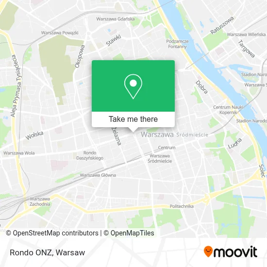
See Rondo ONZ, Warsaw, on the map
Public Transit to Rondo ONZ in Warsaw
Wondering how to get to Rondo ONZ in Warsaw? Moovit helps you find the best way to get to Rondo ONZ with step-by-step directions from the nearest public transit station.
Moovit provides free maps and live directions to help you navigate through your city. View schedules, routes, timetables, and find out how long does it take to get to Rondo ONZ in real time.
Looking for the nearest stop or station to Rondo ONZ? Check out this list of stops closest to your destination: Emilii Plater; Rondo ONZ; Norblin.
Bus: 157, 160, 178, 504, 525, 117, N45, 100, N95, N11, N12, N13, N14, 521, 106, 174.Train: S3, WKD.Metro: M2.Light Rail: 17.
Want to see if there’s another route that gets you there at an earlier time? Moovit helps you find alternative routes or times. Get directions from and directions to Rondo ONZ easily from the Moovit App or Website.
We make riding to Rondo ONZ easy, which is why over 1.5 million users, including users in Warsaw, trust Moovit as the best app for public transit. You don’t need to download an individual bus app or train app, Moovit is your all-in-one transit app that helps you find the best bus time or train time available.
For information on prices of bus, metro, light rail and train, costs and ride fares to Rondo ONZ, please check the Moovit app.
Use the app to navigate to popular places including to the airport, hospital, stadium, grocery store, mall, coffee shop, school, college, and university.
Rondo ONZ Address: Rondo ONZ street in Warsaw
- Punkt Obsługi Pasażerów Metro Rondo ONZ,
- Metro Rondo ONZ,
- Inmedio,
- Państwowy Fundusz Rehabilitacji Osób Niepełnosprawnych,
- Śliska,
- Portobello,
- Aleja Jana Pawła II 11,
- Euronet,
- Bekef,
- Muzeum Getta Warszawskiego (Otwarcie W 2024 Roku),
- Pańska 3,
- XII LO im. Henryka Sienkiewicza,
- Rondo ONZ 10,
- Emilii Plater 55/110,
- Muzeum Sztuki Nowoczesnej,
- Google Poland,
- Mur Getta Warszawskiego,
- Westin,
- The Westin Warsaw,
- Q22
Places Near Rondo ONZ (Warsaw)
- Szpital Bielański, Warsaw,
- Stare Miasto, Warsaw,
- Szpital Czerniakowski, Warsaw,
- Wołoska-Szpital 01, Warsaw,
- Postępu, Warsaw,
- Domaniewska, Warsaw,
- Galeria Północna, Warsaw,
- Sejm Rp, Warsaw,
- Instytut Kardiologii w Aninie, Warsaw,
- Torwar, Warsaw,
- Wołoska, Warsaw,
- Galeria Mokotów, Warsaw,
- Szaserów - Szpital, Warsaw,
- Banacha - Szpital Kliniczny, Warsaw,
- PGE Narodowy, Warsaw,
- Centralny Szpital Kliniczny MSWiA ul. Wołoska, Warsaw,
- Szpital Orłowskiego, Warsaw,
- Szpital Spartanska, Warsaw,
- Cmentarz Bródnowski, Warsaw,
- CH Arkadia, Warsaw
How to get to popular places in Warsaw with public transit
Get around Warsaw by public transit!
Traveling around Warsaw has never been so easy. See step by step directions as you travel to any attraction, street or major public transit station. View bus and train schedules, arrival times, service alerts and detailed routes on a map, so you know exactly how to get to anywhere in Warsaw.
When traveling to any destination around Warsaw use Moovit's Live Directions with Get Off Notifications to know exactly where and how far to walk, how long to wait for your line, and how many stops are left. Moovit will alert you when it's time to get off — no need to constantly re-check whether yours is the next stop.
Wondering how to use public transit in Warsaw or how to pay for public transit in Warsaw? Moovit public transit app can help you navigate your way with public transit easily, and at minimum cost. It includes public transit fees, ticket prices, and costs. Looking for a map of Warsaw public transit lines? Moovit public transit app shows all public transit maps in Warsaw with all Bus, Train, Metro, Light Rail, Ferry and Cable Car routes and stops on an interactive map.
Warsaw has 6 transit type(s), including: Bus, Train, Metro, Light Rail, Ferry and Cable Car, operated by several transit agencies, including Warszawski Transport Publiczny, Warszawska Kolej Dojazdowa, Koleje Mazowieckie, ZTP Kraków, Miasto Piastów, Miasto Ząbki, Koleje Małopolskie, Komunikacja Miejska Łomianki, Gmina Pruszków, MPK Wrocław, MZDiK Radom, UM w Grodzisku Mazowieckim, UM w Nowym Dworze Mazowieckim, UM Płońsk and Koleje Dolnośląskie