How to get to Roof Maxx by bus?
Click on the bus route to see step by step directions with maps, line arrival times and updated time schedules.
From Potomac Mills Mall, Prince William County
183 minFrom Department of State SA 34, Fairfax County
211 minFrom Lorton, VA, Fairfax County
193 minFrom Rose Gaming Resort, Prince William County
208 minFrom Lorton, VA - Amtrak Auto Train Station (LOR), Fairfax County
198 minFrom Manassas, VA, Manassas
409 minFrom Woodbridge, VA, Prince William County
128 min
Bus stop near Roof Maxx in Stafford County
- 463 - Plantation Dr. | Newcastle Pl., 2 min walk,VIEW
Bus lines to Roof Maxx in Stafford County
- ROUTE 21, Outbound,VIEW
What are the closest stations to Roof Maxx?
The closest stations to Roof Maxx are:
- 463 - Plantation Dr. | Newcastle Pl. is 129 yards away, 2 min walk.
Which bus lines stop near Roof Maxx?
These bus lines stop near Roof Maxx: ROUTE 21, SLC.
What’s the nearest bus station to Roof Maxx in Stafford County?
The nearest bus station to Roof Maxx in Stafford County is 463 - Plantation Dr. | Newcastle Pl.. It’s a 2 min walk away.
What time is the first bus to Roof Maxx in Stafford County?
The ROUTE 21 is the first bus that goes to Roof Maxx in Stafford County. It stops nearby at 7:20 AM.
What time is the last bus to Roof Maxx in Stafford County?
The ROUTE 21 is the last bus that goes to Roof Maxx in Stafford County. It stops nearby at 7:26 PM.
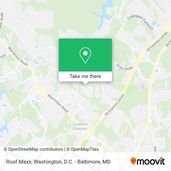
See Roof Maxx, Stafford County, on the map
Public Transit to Roof Maxx in Stafford County
Wondering how to get to Roof Maxx in Stafford County? Moovit helps you find the best way to get to Roof Maxx with step-by-step directions from the nearest public transit station.
Moovit provides free maps and live directions to help you navigate through your city. View schedules, routes, timetables, and find out how long does it take to get to Roof Maxx in real time.
Looking for the nearest stop or station to Roof Maxx? Check out this list of stops closest to your destination: 463 - Plantation Dr. | Newcastle Pl..
Bus: ROUTE 21, SLC.
Want to see if there’s another route that gets you there at an earlier time? Moovit helps you find alternative routes or times. Get directions from and directions to Roof Maxx easily from the Moovit App or Website.
We make riding to Roof Maxx easy, which is why over 1.7 million users, including users in Stafford County, trust Moovit as the best app for public transit. You don’t need to download an individual bus app or train app, Moovit is your all-in-one transit app that helps you find the best bus time or train time available.
For information on prices of bus, metro and train, costs and ride fares to Roof Maxx, please check the Moovit app.
Use the app to navigate to popular places including to the airport, hospital, stadium, grocery store, mall, coffee shop, school, college, and university.
Location: Stafford County, Washington, D.C. - Baltimore, MD
- Thee Village at England Run Townhomes,
- Manheim Fredericksburg,
- Marib Restaurant,
- Wiggins, Melissa S Agt,
- New Light Cathedral,
- Weston Circle and Wicklow Square,
- Virginia Credit Union Stadium,
- Amazon Dva3,
- Fredericksburg Expo & Conference Center,
- Stafford Regional Airport,
- Life Evacuation BaseLife Evacuation Base II,
- 1 Aviation Way,
- Union Insurance Agency,
- George Washington Executive Center,
- Mary Washington Hospital,
- Stuructal Masory,
- Comprehensive Sleep Care Center - Fredericksburg,
- 12 Powhatan Trl,
- 1043 Ramoth Church Rd,
- Amazon Counter-Experimax-Fredericksburg
Places Near Roof Maxx (Stafford County)
- PG Mall, Prince George's County,
- Warner Theatre, Washington,
- National Museum of African American History and Culture, Washington,
- Georgetown, Washington,
- Westfield Montgomery Mall, Montgomery County,
- Washington National Cathedral, Washington,
- The Anthem, Washington,
- National Theatre, Washington,
- Museum Of The Bible, Washington,
- Sibley Memorial Hospital, Washington,
- Basilica of the National Shrine, Washington,
- Pennsylvania Ave NW (3rd st and pennsylvania), Washington,
- Capital One Arena, Washington,
- Rock Creek Tennis Center, Washington,
- Camden Yards, Baltimore,
- Marriott Marquis Washington, DC, Washington,
- Washington DC VA Medical Center, Washington,
- Amazon Hq2, Arlington County,
- M&T Bank Stadium, Baltimore,
- National Zoo, Washington
How to get to popular places in Washington, D.C. - Baltimore, MD with public transit
Get around Stafford County by public transit!
Traveling around Stafford County has never been so easy. See step by step directions as you travel to any attraction, street or major public transit station. View bus and train schedules, arrival times, service alerts and detailed routes on a map, so you know exactly how to get to anywhere in Stafford County.
When traveling to any destination around Stafford County use Moovit's Live Directions with Get Off Notifications to know exactly where and how far to walk, how long to wait for your line, and how many stops are left. Moovit will alert you when it's time to get off — no need to constantly re-check whether yours is the next stop.
Wondering how to use public transit in Stafford County or how to pay for public transit in Stafford County? Moovit public transit app can help you navigate your way with public transit easily, and at minimum cost. It includes public transit fees, ticket prices, and costs. Looking for a map of Stafford County public transit lines? Moovit public transit app shows all public transit maps in Stafford County with all Bus, Train, Metro, Light Rail and Ferry routes and stops on an interactive map.
Washington, D.C. - Baltimore, MD has 5 transit type(s), including: Bus, Train, Metro, Light Rail and Ferry, operated by several transit agencies, including WMATA, Montgomery County Ride On, Fairfax Connector, TheBus, PRTC, DASH - Alexandria, Arlington Transit (ART), RTA of Central Maryland, MDOT MTA, MDOT MTA Light RailLink, MDOT MTA Commuter Bus, MDOT MTA Local Bus, FXBGO!, Virginia Railway Express (VRE) and MARC