How to get to Rosa sa by bus?
Click on the bus route to see step by step directions with maps, line arrival times and updated time schedules.
From Trofa Saúde Hospital, Nogueira, Fraião e Lamaçães
56 minFrom Quinta Solar da Bordoa, Prazins (Santo Tirso) e Corvite
59 minFrom Os Zés das Caldas da Rainha (Bifanas), São José de São Lázaro e São João do Souto
55 minFrom Aldeia dos Macacos, São José de São Lázaro e São João do Souto
59 minFrom Santuário do Bom Jesus de Braga, Nogueiró e Tenões
89 minFrom E009 Vizela, Caldas de Vizela
55 minFrom P105 Vila Nova de Fama, Vale (São Cosme), Telhado e Portela
105 minFrom Hospital Narciso Ferreira, Vila Nova De Famalicão
63 minFrom TrofaSaúde Hospital Braga Sul, Nogueira, Fraião e Lamaçães
57 minFrom X-Aqua, Vila Nova do Campo
75 min
Bus stops near Rosa sa in Guimarães
- Capela de Campelos, 1 min walk,VIEW
Bus lines to Rosa sa in Guimarães
What are the closest stations to Rosa sa?
The closest stations to Rosa sa are:
- Capela de Campelos is 23 meters away, 1 min walk.
Which bus lines stop near Rosa sa?
These bus lines stop near Rosa sa: 041, 042, 163, 3571.
What’s the nearest bus station to Rosa sa in Guimarães?
The nearest bus station to Rosa sa in Guimarães is Capela de Campelos. It’s a 1 min walk away.
What time is the first bus to Rosa sa in Guimarães?
The 042 is the first bus that goes to Rosa sa in Guimarães. It stops nearby at 6:54 AM.
What time is the last bus to Rosa sa in Guimarães?
The N41 is the last bus that goes to Rosa sa in Guimarães. It stops nearby at 11:29 PM.
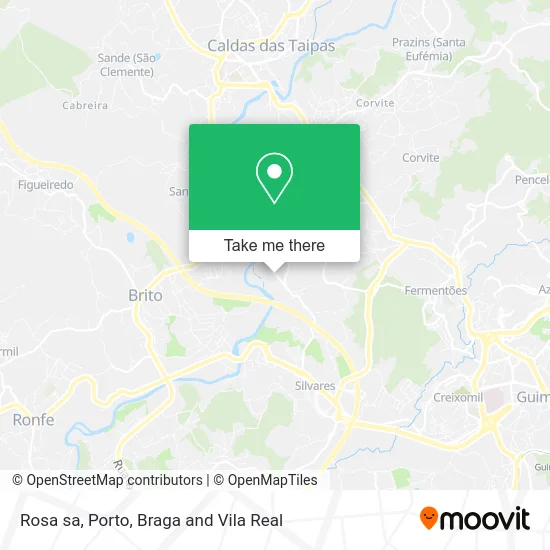
See Rosa sa, Guimarães, on the map
Public Transit to Rosa sa in Guimarães
Wondering how to get to Rosa sa in Guimarães? Moovit helps you find the best way to get to Rosa sa with step-by-step directions from the nearest public transit station.
Moovit provides free maps and live directions to help you navigate through your city. View schedules, routes, timetables, and find out how long does it take to get to Rosa sa in real time.
Looking for the nearest stop or station to Rosa sa? Check out this list of stops closest to your destination: Capela de Campelos.
Bus: 041, 042, 163, 3571, N42, 160, 162, N41.
Want to see if there’s another route that gets you there at an earlier time? Moovit helps you find alternative routes or times. Get directions from and directions to Rosa sa easily from the Moovit App or Website.
We make riding to Rosa sa easy, which is why over 1.5 million users, including users in Guimarães, trust Moovit as the best app for public transit. You don’t need to download an individual bus app or train app, Moovit is your all-in-one transit app that helps you find the best bus time or train time available.
For information on prices of bus, costs and ride fares to Rosa sa, please check the Moovit app.
Use the app to navigate to popular places including to the airport, hospital, stadium, grocery store, mall, coffee shop, school, college, and university.
Rosa sa Address: Rua de São José 4 Campelos, 4805-321 Guimarães street in Guimarães
- Bolama,
- Jardim Infantil do Centro Social de Azurém,
- Capela Nossa Senhora dos Aflitos,
- Sociedade Interbancaria de Servicos S a Sibs,
- Multibanco,
- Vimaneon - Reclamos Luminosos,
- Danichik Padaria,
- Jardins da Ponte,
- Bruna Castro Flores,
- Farmacia de Ponte,
- Casa de Castro,
- Soluções Brilhantes - Equipamentos Informáticos e Reciclagem,
- Bekoffee,
- Móveis Martins,
- Frutas E Legumes Ilda Rodrigues,
- SOS 1145,
- José Francisco Antunes Alves Silva, Unipessoal,
- Curva Café,
- Nations League Semi Fi,
- Unidade de Saúde Familiar Ponte
Places Near Rosa sa (Guimarães)
- Estádio do Dragão, Campanhã,
- MAR Shopping, Matosinhos e Leça da Palmeira,
- Valongo, Valongo,
- Parque Aquatico Amarante - Aqua Aventura, Amarante,
- El Corte Inglés de Gaia, Mafamude e Vilar do Paraíso,
- Hospital da Prelada, Ramalde,
- Rua Calouste Gulbenkian, Lordelo do Ouro e Massarelos,
- Hospital Santos Silva, Vila Nova De Gaia,
- Espinho, Espinho,
- Hospital de Santo António, Cedofeita, Santo Ildefonso, Sé, Miragaia, São Nicolau e Vitória,
- Zoo Santo Inácio, Vila Nova De Gaia,
- Canidelo, Vila Nova De Gaia,
- Palácio de Cristal, Lordelo do Ouro e Massarelos,
- Arrábida Shopping, Santa Marinha e São Pedro da Afurada,
- Leça da Palmeira, Matosinhos e Leça da Palmeira,
- VILA do CONDE PORTO FASHION OUTLET, Modivas,
- Avintes, Vila Nova De Gaia,
- Acesso ao Shopping Parque Nascente, Campanhã,
- Maia, Maia,
- Senhor de Matosinhos, Matosinhos e Leça da Palmeira
How to get to popular places in Porto, Braga and Vila Real with public transit
Get around Guimarães by public transit!
Traveling around Guimarães has never been so easy. See step by step directions as you travel to any attraction, street or major public transit station. View bus and train schedules, arrival times, service alerts and detailed routes on a map, so you know exactly how to get to anywhere in Guimarães.
When traveling to any destination around Guimarães use Moovit's Live Directions with Get Off Notifications to know exactly where and how far to walk, how long to wait for your line, and how many stops are left. Moovit will alert you when it's time to get off — no need to constantly re-check whether yours is the next stop.
Wondering how to use public transit in Guimarães or how to pay for public transit in Guimarães? Moovit public transit app can help you navigate your way with public transit easily, and at minimum cost. It includes public transit fees, ticket prices, and costs. Looking for a map of Guimarães public transit lines? Moovit public transit app shows all public transit maps in Guimarães with all Bus, Train, Metro, Ferry, Funicular and Gondola routes and stops on an interactive map.
Porto, Braga and Vila Real has 6 transit type(s), including: Bus, Train, Metro, Ferry, Funicular and Gondola, operated by several transit agencies, including Metro do Porto, Metro do Porto - Metrobus, CP - Comboios de Portugal, STCP, UNIR Mobilidade da Area Metropolitana do Porto, Getbus - Aerobus, Mobiave, Valpibus, TUB - Transportes Urbanos de Braga, TuViana, Guimabus, Ave Mobilidade, Cávado Mobilidade, Transdev and Câmara Municipal de Santo Tirso