How to get to Rosedale Developments by bus?
Click on the bus route to see step by step directions with maps, line arrival times and updated time schedules.
From Canada Place Service Canada Centre, Edmonton
54 minFrom Lister Centre - University of Alberta, Edmonton
35 minFrom Lister Centre, Edmonton
36 minFrom Edmonton Downtown Farmers Market, Edmonton
49 minFrom Beyond Paradise Massage, Edmonton
45 minFrom Li Ka Shing Centre For Health Research Innovation, Edmonton
36 minFrom Jubilee Auditorium, Edmonton
36 minFrom 1A Sir Winston Churchill Square, Edmonton
47 minFrom Central Lions Senior Centre, Edmonton
43 minFrom U of A Hospital-HMRC, Edmonton
38 min
Bus stops near Rosedale Developments in Edmonton
Bus lines to Rosedale Developments in Edmonton
- 051, Castle Downs - University,VIEW
- 150X, Dunluce - Castle Downs - Government Centre,VIEW
- 613, Archbishop O'Leary - Queen Elizabeth - Dunluce,VIEW
- 624, O'Leary - Rapperswill,VIEW
- 109, Northgate Transit Centre,VIEW
- 617, 109 Street & 163 Avenue,VIEW
- 103, Castle Downs Transit Centre,VIEW
- 614, 90 Street & 132 Avenue,VIEW
- 112, Castle Downs Transit Centre,VIEW
- 127, Northgate Transit Centre,VIEW
- 124, Eaux Claires Transit Centre,VIEW
- 683, Castle Downs Transit Centre,VIEW
What are the closest stations to Rosedale Developments?
The closest stations to Rosedale Developments are:
- Castle Downs Road & 152 Avenue is 283 meters away, 4 min walk.
- Veterans Way & 153 Avenue is 292 meters away, 5 min walk.
- Castle Downs Road & Mccrae Avenue is 298 meters away, 5 min walk.
- Griesbach Road & Martin Avenue is 516 meters away, 7 min walk.
- Castle Downs Road & 153 Avenue is 677 meters away, 9 min walk.
- Castle Downs Transit Centre is 778 meters away, 11 min walk.
Which bus lines stop near Rosedale Developments?
These bus lines stop near Rosedale Developments: 051, 103.
What’s the nearest bus station to Rosedale Developments in Edmonton?
The nearest bus station to Rosedale Developments in Edmonton is Castle Downs Road & 152 Avenue. It’s a 4 min walk away.
What time is the first bus to Rosedale Developments in Edmonton?
The 103 is the first bus that goes to Rosedale Developments in Edmonton. It stops nearby at 6:11 AM.
What time is the last bus to Rosedale Developments in Edmonton?
The 103 is the last bus that goes to Rosedale Developments in Edmonton. It stops nearby at 12:44 AM.
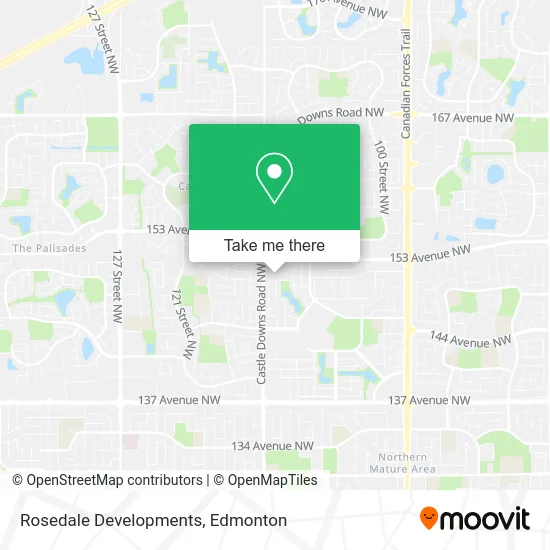
See Rosedale Developments, Edmonton, on the map
Public Transit to Rosedale Developments in Edmonton
Wondering how to get to Rosedale Developments in Edmonton? Moovit helps you find the best way to get to Rosedale Developments with step-by-step directions from the nearest public transit station.
Moovit provides free maps and live directions to help you navigate through your city. View schedules, routes, timetables, and find out how long does it take to get to Rosedale Developments in real time.
Looking for the nearest stop or station to Rosedale Developments? Check out this list of stops closest to your destination: Castle Downs Road & 152 Avenue; Veterans Way & 153 Avenue; Castle Downs Road & Mccrae Avenue; Griesbach Road & Martin Avenue; Castle Downs Road & 153 Avenue; Castle Downs Transit Centre.
Bus: 051, 103, 150X, 613, 624, 109, 617, 614, 112, 127, 124, 683.
Want to see if there’s another route that gets you there at an earlier time? Moovit helps you find alternative routes or times. Get directions from and directions to Rosedale Developments easily from the Moovit App or Website.
We make riding to Rosedale Developments easy, which is why over 1.5 million users, including users in Edmonton, trust Moovit as the best app for public transit. You don’t need to download an individual bus app or train app, Moovit is your all-in-one transit app that helps you find the best bus time or train time available.
For information on prices of bus and light rail, costs and ride fares to Rosedale Developments, please check the Moovit app.
Use the app to navigate to popular places including to the airport, hospital, stadium, grocery store, mall, coffee shop, school, college, and university.
Rosedale Developments Address: 4480 McCrae Ave NW Edmonton, AB T5X street in Edmonton
- Chartwell Griesbach Retirement Residence,
- YMCA,
- Enjoy Dental,
- Evergreen Cosmetic,
- Crown & Anchor Pub & Grill Edmonton,
- Kidzone Daycare,
- Get It Done Cleaing,
- Dominican Republic Real Estate,
- Castle Downs (Relo),
- Snap Fitness,
- Beaumaris Lake,
- Insight Medical Imaging,
- Lendrum Breast Centre,
- Mary Brown's Famous Chicken,
- Col-Lee Hunny,
- Castle Downs Liquor Store LTD,
- Griesbach Massage & Wellness,
- BMO Bank of Montreal,
- Letwin, Dr Nadine Lakesid,
- Oncore Médité-Spa
Places Near Rosedale Developments (Edmonton)
- Northgate Centre, Edmonton,
- Canada Place Service Canada Centre, Edmonton,
- Cross Cancer Institute, Edmonton,
- Royal Alexandra Hospital, Edmonton,
- Fort Edmonton Park, Edmonton,
- Borden Park, Edmonton,
- Edmonton VIA Rail Station, Edmonton,
- Edmonton EXPO Centre, Edmonton,
- Alberta Legislature Building, Edmonton,
- Kaye Edmonton Clinic, Edmonton,
- Kingsway Mall, Edmonton,
- Londonderry Mall, Edmonton,
- MacEwan University, Edmonton,
- Grey Nuns Community Hospital, Edmonton,
- West Edmonton Mall, Edmonton,
- Rogers Place, Edmonton,
- Whyte Avenue, Edmonton,
- Edmonton Valley Zoo, Edmonton,
- Edmonton Commonwealth Stadium, Edmonton,
- University of Alberta, Edmonton
How to get to popular places in Edmonton with public transit
Get around Edmonton by public transit!
Traveling around Edmonton has never been so easy. See step by step directions as you travel to any attraction, street or major public transit station. View bus and train schedules, arrival times, service alerts and detailed routes on a map, so you know exactly how to get to anywhere in Edmonton.
When traveling to any destination around Edmonton use Moovit's Live Directions with Get Off Notifications to know exactly where and how far to walk, how long to wait for your line, and how many stops are left. Moovit will alert you when it's time to get off — no need to constantly re-check whether yours is the next stop.
Wondering how to use public transit in Edmonton or how to pay for public transit in Edmonton? Moovit public transit app can help you navigate your way with public transit easily, and at minimum cost. It includes public transit fees, ticket prices, and costs. Looking for a map of Edmonton public transit lines? Moovit public transit app shows all public transit maps in Edmonton with all Bus and Light Rail routes and stops on an interactive map.
Edmonton has 2 transit type(s), including: Bus and Light Rail, operated by several transit agencies, including ETS LRT, ETS, Strathcona County Transit, St. Albert Transit, Spruce Grove Transit, Fort Saskatchewan Transit, Beaumont Transit and Leduc Transit