How to get to Roseservid by bus?
Click on the bus route to see step by step directions with maps, line arrival times and updated time schedules.
From Aéroport de Nîmes Garons (FNI), Saint-Gilles
71 minFrom 30980, Saint-Dionizy
80 minFrom 30620, Uchaud
61 minFrom Deleuze Manutention, Garons
59 minFrom Avenue du Champ de Mars, Garons
59 minFrom Rue Alphonse Daudet, Marguerittes
43 minFrom Ccas Marguerittes, Marguerittes
51 minFrom Guy Véronique, Langlade
36 minFrom Purple Campus Marguerittes, Marguerittes
48 min
Bus stops near Roseservid in Nimes
Bus lines to Roseservid in Nimes
What are the closest stations to Roseservid?
The closest stations to Roseservid are:
- A. Camus is 40 meters away, 1 min walk.
- Jules Guesde is 147 meters away, 2 min walk.
- Maison De Santé is 165 meters away, 3 min walk.
- Canteduc is 216 meters away, 3 min walk.
- Cimetière Protestant is 378 meters away, 5 min walk.
- Viala is 510 meters away, 7 min walk.
Which bus lines stop near Roseservid?
These bus lines stop near Roseservid: 14, 227, 51, 9.
What’s the nearest bus station to Roseservid in Nimes?
The nearest bus station to Roseservid in Nimes is A. Camus. It’s a 1 min walk away.
What time is the first bus to Roseservid in Nimes?
The 9 is the first bus that goes to Roseservid in Nimes. It stops nearby at 6:01 AM.
What time is the last bus to Roseservid in Nimes?
The 14 is the last bus that goes to Roseservid in Nimes. It stops nearby at 8:58 PM.
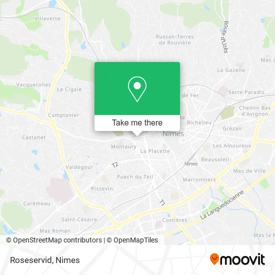
See Roseservid, Nimes, on the map
Public Transit to Roseservid in Nimes
Wondering how to get to Roseservid in Nimes? Moovit helps you find the best way to get to Roseservid with step-by-step directions from the nearest public transit station.
Moovit provides free maps and live directions to help you navigate through your city. View schedules, routes, timetables, and find out how long does it take to get to Roseservid in real time.
Looking for the nearest stop or station to Roseservid? Check out this list of stops closest to your destination: A. Camus; Jules Guesde; Maison De Santé; Canteduc; Cimetière Protestant; Viala.
Bus: 14, 227, 51, 9, 101, 103, 105, 804A, 16, 78, 107, 61, 70, 77.
Want to see if there’s another route that gets you there at an earlier time? Moovit helps you find alternative routes or times. Get directions from and directions to Roseservid easily from the Moovit App or Website.
We make riding to Roseservid easy, which is why over 1.5 million users, including users in Nimes, trust Moovit as the best app for public transit. You don’t need to download an individual bus app or train app, Moovit is your all-in-one transit app that helps you find the best bus time or train time available.
For information on prices of bus, costs and ride fares to Roseservid, please check the Moovit app.
Use the app to navigate to popular places including to the airport, hospital, stadium, grocery store, mall, coffee shop, school, college, and university.
Roseservid Address: 9 Rue de Sauve 30900 Nîmes street in Nimes
- Cathimage,
- Tango Bus Arrêt Roosevelt [C,I],
- Spa,
- Nime,
- Vestiboutique Croix-Rouge Française,
- Rue Bernard de la Treille,
- Rémi Salanie,
- Place Maréchal Foch 4,
- Les Jardins du Pilates,
- Pierre-Olivier Souverain,
- Market de La Fontaine Alimentation Générale,
- Avenue Jean Jaurès 6,
- Epicerie Montaury,
- Act'Menuiserie,
- Kala Family,
- Le Bh,
- Gard Web Création,
- Cf Entreprise,
- Viaggio,
- Hiatus
Places Near Roseservid (Nimes)
- Le Parnasse, Nîmes,
- Saint-Césaire,
- Les 7 Collines,
- La Galerie - Cap Costières,
- Aire De Covoiturage Nîmes Ouest,
- Polyclinique Du Grand Sud,
- VILLE ACTIVE, Nîmes,
- CHU de Nîmes - Hôpital universitaire Carémeau,
- Centre hospitalier Caremeau,
- Jardins de la Fontaine,
- E.Leclerc,
- Geant Casino,
- Carrefour Nîmes Sud,
- Rue Gilles Roberval 285,
- Rond-Point Kilomètre Delta, Nîmes,
- Clinique Franciscaine,
- Parc Kennedy,
- École Nationale De Police,
- Hôpital Privé Les Franciscaines,
- Kinepolis
How to get to popular places in Nimes with public transit
Get around Nimes by public transit!
Traveling around Nimes has never been so easy. See step by step directions as you travel to any attraction, street or major public transit station. View bus and train schedules, arrival times, service alerts and detailed routes on a map, so you know exactly how to get to anywhere in Nimes.
When traveling to any destination around Nimes use Moovit's Live Directions with Get Off Notifications to know exactly where and how far to walk, how long to wait for your line, and how many stops are left. Moovit will alert you when it's time to get off — no need to constantly re-check whether yours is the next stop.
Wondering how to use public transit in Nimes or how to pay for public transit in Nimes? Moovit public transit app can help you navigate your way with public transit easily, and at minimum cost. It includes public transit fees, ticket prices, and costs. Looking for a map of Nimes public transit lines? Moovit public transit app shows all public transit maps in Nimes with all bus routes and stops on an interactive map.
Nimes has 1 transit type(s), including: bus, operated by several transit agencies, including TANGO