How to get to Rosticería Moroles by bus?
Click on the bus route to see step by step directions with maps, line arrival times and updated time schedules.
From Valentin Gomez Farias, Aguascalientes
31 minFrom Ruiseñores [Fraccionamiento], Aguascalientes
61 minFrom panteon San Francisco, Aguascalientes
60 minFrom Hospital de Psiquiatria Gustavo Leon Mojica Ga Dr, Aguascalientes
39 minFrom Sedesol, Aguascalientes
48 minFrom Imss Jesus Maria Clinica#6, Aguascalientes
37 minFrom Salida Mexico, Aguascalientes
42 minFrom Mangata Residencial, Aguascalientes
52 minFrom Los Juarez, Aguascalientes
52 minFrom Avenida de los Arellano, Aguascalientes
44 min
Bus stops near Rosticería Moroles in Aguascalientes
Bus lines to Rosticería Moroles in Aguascalientes
What are the closest stations to Rosticería Moroles?
The closest stations to Rosticería Moroles are:
- Bulevar Guadalupano, 1710 is 168 meters away, 3 min walk.
- Avenida Siglo Xxi, 113 is 584 meters away, 8 min walk.
Which bus lines stop near Rosticería Moroles?
These bus lines stop near Rosticería Moroles: RUTA 09, RUTA 42, RUTA 45, RUTA 50.
What’s the nearest bus station to Rosticería Moroles in Aguascalientes?
The nearest bus station to Rosticería Moroles in Aguascalientes is Bulevar Guadalupano, 1710. It’s a 3 min walk away.
What time is the first bus to Rosticería Moroles in Aguascalientes?
The RUTA 42 is the first bus that goes to Rosticería Moroles in Aguascalientes. It stops nearby at 5:55 AM.
What time is the last bus to Rosticería Moroles in Aguascalientes?
The RUTA 50 is the last bus that goes to Rosticería Moroles in Aguascalientes. It stops nearby at 10:30 PM.
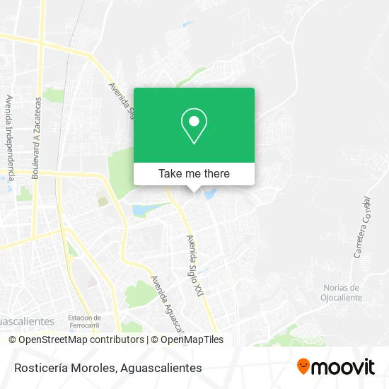
See Rosticería Moroles, Aguascalientes, on the map
Public Transit to Rosticería Moroles in Aguascalientes
Wondering how to get to Rosticería Moroles in Aguascalientes? Moovit helps you find the best way to get to Rosticería Moroles with step-by-step directions from the nearest public transit station.
Moovit provides free maps and live directions to help you navigate through your city. View schedules, routes, timetables, and find out how long does it take to get to Rosticería Moroles in real time.
Looking for the nearest stop or station to Rosticería Moroles? Check out this list of stops closest to your destination: Bulevar Guadalupano; Avenida Siglo Xxi.
Bus: RUTA 09, RUTA 42, RUTA 45, RUTA 50, RUTA 23, RUTA 37.
Want to see if there’s another route that gets you there at an earlier time? Moovit helps you find alternative routes or times. Get directions from and directions to Rosticería Moroles easily from the Moovit App or Website.
We make riding to Rosticería Moroles easy, which is why over 1.5 million users, including users in Aguascalientes, trust Moovit as the best app for public transit. You don’t need to download an individual bus app or train app, Moovit is your all-in-one transit app that helps you find the best bus time or train time available.
For information on prices of bus, costs and ride fares to Rosticería Moroles, please check the Moovit app.
Use the app to navigate to popular places including to the airport, hospital, stadium, grocery store, mall, coffee shop, school, college, and university.
Rosticería Moroles Address: Boulevard Guadalupano, Fraccionamiento Ejido Las Cumbres, 20175 Aguascalientes, Aguascalientes street in Aguascalientes
- Andy,
- Ropa y Artículos de Regalo,
- Florería Orquidea,
- Vidrios y Aluminio,
- Computel,
- Fraccionamiento Benito Palomino Dena,
- Hidro Farma,
- Tienda de Abarrotes Sierra Fría,
- Molino y Tortillería Maribel,
- pastelería Estrella,
- Abarrotes Pablos,
- Los Olivos,
- Tamales,
- Dulces y Piñatas,
- Las Cumbres Vinos y Licores,
- Instituto Autónomo Cumbres Tae Kwondo do,
- Abarrotes Saucedo,
- Frutas y Verduras Mony,
- Rosticería Que Pollazo,
- Ropa para Dama
Places Near Rosticería Moroles (Aguascalientes)
- Isla San Marcos, Aguascalientes,
- Universidad Autónoma de Aguascalientes, Aguascalientes,
- Hospital Imss No. 3, Aguascalientes,
- Ciudad industrial, Aguascalientes,
- Agropecuario, Aguascalientes,
- Villas de Nuestra Señora de la Asunción, Aguascalientes,
- Terminal De Combis, Aguascalientes,
- Central De Autobuses, Aguascalientes,
- Nuevo Hospital Hidalgo, Aguascalientes,
- Jesús María, Aguascalientes,
- Centro, Aguascalientes,
- La Isla San Marcos, Aguascalientes,
- Aeropuerto de Aguascalientes S.A. de C.V., Aguascalientes,
- Villasuncion, Aguascalientes,
- Parque Las Tres Centurias, Aguascalientes,
- Blvd. Luis Donaldo Colosio, Aguascalientes,
- ESPACIOS, Aguascalientes,
- Centro Comercial Altaria, Aguascalientes,
- Imss Clinica 1, Aguascalientes,
- clinica 3 uaa, Aguascalientes
How to get to popular places in Aguascalientes with public transit
Get around Aguascalientes by public transit!
Traveling around Aguascalientes has never been so easy. See step by step directions as you travel to any attraction, street or major public transit station. View bus and train schedules, arrival times, service alerts and detailed routes on a map, so you know exactly how to get to anywhere in Aguascalientes.
When traveling to any destination around Aguascalientes use Moovit's Live Directions with Get Off Notifications to know exactly where and how far to walk, how long to wait for your line, and how many stops are left. Moovit will alert you when it's time to get off — no need to constantly re-check whether yours is the next stop.
Wondering how to use public transit in Aguascalientes or how to pay for public transit in Aguascalientes? Moovit public transit app can help you navigate your way with public transit easily, and at minimum cost. It includes public transit fees, ticket prices, and costs. Looking for a map of Aguascalientes public transit lines? Moovit public transit app shows all public transit maps in Aguascalientes with all bus routes and stops on an interactive map.
Aguascalientes has 1 transit type(s), including: bus, operated by several transit agencies, including Coordinación General de Movilidad