Directions to Rota 26 (Boa Vista) with public transportation
The following transit lines have routes that pass near Rota 26
How to get to Rota 26 by bus?
Click on the bus route to see step by step directions with maps, line arrival times and updated time schedules.
From Avenida Presidente Affonso Camargo, Cajuru
59 minFrom Rua Leonardo Novicki, Cajuru
88 minFrom Carrefour Hipermercado Parolim, Prado Velho
58 minFrom Rua Conselheiro Laurindo, Centro
42 minFrom Rua Mariano Torres, Centro
44 minFrom CDI Centro De Diagnostico Por Imagem, Alto Da Rua XV
44 minFrom Supercenter Angeloni Água Verde, Vila Izabel
58 minFrom Rua João Parolin, Parolin
58 minFrom Seminário, Seminário
55 minFrom Havan, Prado Velho
56 min
Bus stops near Rota 26 in Boa Vista
Bus lines to Rota 26 in Boa Vista
What are the closest stations to Rota 26?
The closest stations to Rota 26 are:
- R. Doutor Francisco Natel de Camargo, 51 is 88 meters away, 2 min walk.
- R. Fernando de Noronha, 2160 is 203 meters away, 3 min walk.
- Rua Vicente Geronasso, 1625 is 230 meters away, 4 min walk.
- R. Paolo Battan, 188 is 345 meters away, 5 min walk.
Which bus lines stop near Rota 26?
These bus lines stop near Rota 26: 226 ABAETÉ, 272 PAINEIRAS, 275 FERNANDO DE NORONHA / LARANJEIRAS.
What’s the nearest bus station to Rota 26 in Boa Vista?
The nearest bus station to Rota 26 in Boa Vista is R. Doutor Francisco Natel de Camargo, 51. It’s a 2 min walk away.
What time is the first bus to Rota 26 in Boa Vista?
The 229 MAD. PENHA / FERNANDO DE NORONHA is the first bus that goes to Rota 26 in Boa Vista. It stops nearby at 3:17 AM.
What time is the last bus to Rota 26 in Boa Vista?
The 229 MAD. PENHA / FERNANDO DE NORONHA is the last bus that goes to Rota 26 in Boa Vista. It stops nearby at 2:22 AM.
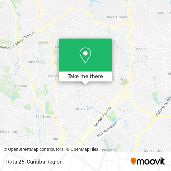
See Rota 26, Boa Vista, on the map
Public Transit to Rota 26 in Boa Vista
Wondering how to get to Rota 26 in Boa Vista? Moovit helps you find the best way to get to Rota 26 with step-by-step directions from the nearest public transit station.
Moovit provides free maps and live directions to help you navigate through your city. View schedules, routes, timetables, and find out how long does it take to get to Rota 26 in real time.
Looking for the nearest stop or station to Rota 26? Check out this list of stops closest to your destination: R. Doutor Francisco Natel de Camargo; R. Fernando de Noronha; Rua Vicente Geronasso; R. Paolo Battan.
Bus: 226 ABAETÉ, 272 PAINEIRAS, 275 FERNANDO DE NORONHA / LARANJEIRAS, 229 MAD. PENHA / FERNANDO DE NORONHA.
Want to see if there’s another route that gets you there at an earlier time? Moovit helps you find alternative routes or times. Get directions from and directions to Rota 26 easily from the Moovit App or Website.
We make riding to Rota 26 easy, which is why over 1.5 million users, including users in Boa Vista, trust Moovit as the best app for public transit. You don’t need to download an individual bus app or train app, Moovit is your all-in-one transit app that helps you find the best bus time or train time available.
For information on prices of bus, costs and ride fares to Rota 26, please check the Moovit app.
Use the app to navigate to popular places including to the airport, hospital, stadium, grocery store, mall, coffee shop, school, college, and university.
Rota 26 Address: Rua Fernando de Noronha, 1997 Boa Vista Curitiba-PR 82650-505 street in Boa Vista
- Casa dos Bichinhos,
- Maria Dorvalina Tkatch,
- Traco Acqualux,
- Construmachuk Comercio de Materiais de Construcao,
- Móveis Stelmachuk,
- Decoraweb,
- Kampf-Materiais de Construção,
- Gifto Presentes Ltda,
- Ss Locacao de Trajes Ltda,
- Shibata Noivas,
- Stelmachuk Materiais de Construção,
- Doces da Júh,
- Paróquia Nossa Senhora de Nazaré,
- Comunidade Cristã Vivendo a Verdade,
- Antonio Carlos Kley,
- Supermercado Califórnia,
- Aladia Teresa Post,
- Bagalu Festas,
- Malta Pizzaria,
- Edgarsoud
Places Near Rota 26 (Boa Vista)
- Shopping Palladium, Portão,
- Hospital Da Cruz Vermelha, Batel,
- Park Shopping Barigüi, Mossunguê,
- Hospital Nossa Senhora Das Graças, Mercês,
- Hospital Erasto Gaertner, Jardim Das Américas,
- Hospital Angelina Caron, Campina Grande Do Sul,
- Hospital do Rocio, Campo,
- Rua Martim Afonso 558, Mercês,
- Rua General Mário Tourinho, Campina Do Siqueira,
- Hospital de Clínicas (HC - UFPR), Centro,
- Jardim Botânico de Curitiba PR, Centro,
- Hospital Universitário Evangélico de Curitiba, Bigorrilho,
- Jockey Plaza Shopping Center, Tarumã,
- Hhhhh, Fazendinha,
- Shopping Estação, Rebouças,
- Hospital Madalena Sofia, Bairro Alto,
- Pontifícia Universidade Católica do Paraná (PUCPR), Prado Velho,
- Arena Da Baixada - Curitiba,
- Parque Barigui, Mercês,
- Campo Largo, Campo
How to get to popular places in Curitiba Region with public transit
Get around Boa Vista by public transit!
Traveling around Boa Vista has never been so easy. See step by step directions as you travel to any attraction, street or major public transit station. View bus and train schedules, arrival times, service alerts and detailed routes on a map, so you know exactly how to get to anywhere in Boa Vista.
When traveling to any destination around Boa Vista use Moovit's Live Directions with Get Off Notifications to know exactly where and how far to walk, how long to wait for your line, and how many stops are left. Moovit will alert you when it's time to get off — no need to constantly re-check whether yours is the next stop.
Wondering how to use public transit in Boa Vista or how to pay for public transit in Boa Vista? Moovit public transit app can help you navigate your way with public transit easily, and at minimum cost. It includes public transit fees, ticket prices, and costs. Looking for a map of Boa Vista public transit lines? Moovit public transit app shows all public transit maps in Boa Vista with all Bus and Cable Car routes and stops on an interactive map.
Curitiba Region has 2 transit type(s), including: Bus and Cable Car, operated by several transit agencies, including Sistema Integrado de Mobilidade (URBS), Sistema Integrado de Mobilidade (AMEP), URBS (Cartões bancários e Dinheiro), URBS (Cartões bancários / Cartão URBS), AMEP (Cartões bancários / Cartão MetroCard), AMEP (Cartões bancários / Cartão MetroCard / Dinheiro), Viação Colombo (Dinheiro), TRIAR (Cartão TRIAR / Dinheiro), Empresa Curitiba Cerro Azul (Dinheiro), Expresso Nossa Senhora da Penha (Dinheiro), Empresa Campo Alto Tijucas (Dinheiro), Auto Viação São José (Cartão VEM / Dinheiro), BRT S/A (Cartão VEM / Dinheiro), TransPiedade (Cartão Cidadão / Dinheiro) and Oceânica Sul (Cartão Transporte / Dinheiro)