Directions to Roth Lighting (Spring Valley) with public transportation
The following transit lines have routes that pass near Roth Lighting
 Bus: 103.
How to get to Roth Lighting by bus?
Click on the bus route to see step by step directions with maps, line arrival times and updated time schedules.
From E Sunset Rd / S Pecos Rd, Paradise
52 minFrom 18b Arts District of Las Vegas, Las Vegas
68 minFrom Las Vegas Monorail - Harrah's/The Linq Station, Paradise
42 minFrom Eleven11 Condos, Las Vegas
59 minFrom Desert Inn And Eastern Ave, Winchester
69 minFrom Hilton Grand Vacations at the Flamingo Las Vegas, Paradise
38 minFrom Holiday Inn Club Vacations Las Vegas - Desert Club Resort, Paradise
43 minFrom Vandorne Landscape and Design, Las Vegas
58 minFrom The Strip Deuce/Express CAT Bus Stop @ The Bellagio, Las Vegas
70 minFrom Cuba Fashion, Paradise
61 min
Bus stop near Roth Lighting in Spring Valley
- Nb Decatur After Oquendo, 8 min walk,VIEW
Bus lines to Roth Lighting in Spring Valley
- 103, 103b Decatur Southbound (Ends at Sunset),VIEW
What are the closest stations to Roth Lighting?
The closest stations to Roth Lighting are:
- Nb Decatur After Oquendo is 614 yards away, 8 min walk.
Which bus line stops near Roth Lighting?
103 (103a Decatur Northbound)
What’s the nearest bus station to Roth Lighting in Spring Valley?
The nearest bus station to Roth Lighting in Spring Valley is Nb Decatur After Oquendo. It’s a 8 min walk away.
What time is the first bus to Roth Lighting in Spring Valley?
The 103 is the first bus that goes to Roth Lighting in Spring Valley. It stops nearby at 3:09 AM.
What time is the last bus to Roth Lighting in Spring Valley?
The 103 is the last bus that goes to Roth Lighting in Spring Valley. It stops nearby at 3:11 AM.
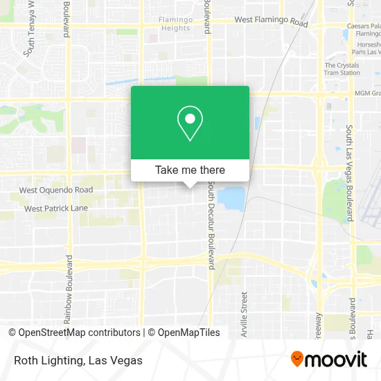
See Roth Lighting, Spring Valley, on the map
Public Transit to Roth Lighting in Spring Valley
Wondering how to get to Roth Lighting in Spring Valley? Moovit helps you find the best way to get to Roth Lighting with step-by-step directions from the nearest public transit station.
Moovit provides free maps and live directions to help you navigate through your city. View schedules, routes, timetables, and find out how long does it take to get to Roth Lighting in real time.
Looking for the nearest stop or station to Roth Lighting? Check out this list of stops closest to your destination: Nb Decatur After Oquendo.
Bus: 103.
Want to see if there’s another route that gets you there at an earlier time? Moovit helps you find alternative routes or times. Get directions from and directions to Roth Lighting easily from the Moovit App or Website.
We make riding to Roth Lighting easy, which is why over 1.7 million users, including users in Spring Valley, trust Moovit as the best app for public transit. You don’t need to download an individual bus app or train app, Moovit is your all-in-one transit app that helps you find the best bus time or train time available.
For information on prices of bus, costs and ride fares to Roth Lighting, please check the Moovit app.
Use the app to navigate to popular places including to the airport, hospital, stadium, grocery store, mall, coffee shop, school, college, and university.
Roth Lighting Address: 5915 Edmond St Ste 125 street in Spring Valley
- Allegiant Stadium,
- Post Road & Decatur, Las Vegas,
- Planet 13 Las Vegas,
- South Decatur Boulevard & West Sunset Road,
- RTC Sunset Operations and Maintenance Facility,
- The Dispensary,
- RTC/Keolis Transit SMF Yard,
- Veolia Transportation / RTC Sunset Yard,
- spirit airlines training center,
- Grand Canyon Skywalk,
- Apex Linen Service,
- Alura Jenson,
- Connect Me Solutions,
- Jones and Hacienda,
- Hilton Vacation Club Desert Retreat-Las Vegas,
- 5650 W Badura Ave,
- USCIS - Las Vegas Field Office,
- Ufc Apex,
- WorldMark Las Vegas - Tropicana Avenue,
- Lindell Rd / W Tropicana Ave
Places Near Roth Lighting (Spring Valley)
- Area15, Las Vegas,
- Town Square, Enterprise,
- Walmart Supercenter, Las Vegas,
- Zak Bagans Haunted Museum, Las Vegas,
- The Deuce Bus Stop at Fremont St, Las Vegas,
- Walmart, Las Vegas,
- Lee Canyon, Las Vegas,
- Koolsville Tattoos, Las Vegas,
- Welcome To Fabulous Las Vegas Sign, Paradise,
- The Neon Museum, Las Vegas,
- Meow Wolf - Las Vegas (Meow Wolf's Omega Mart), Las Vegas,
- Las Vegas Premium Outlets-North, Enterprise,
- Arte Museum Las Vegas, Paradise,
- The Palms Casino Resort, Paradise,
- Trump International Hotel Las Vegas, Paradise,
- Allegiant Stadium, Paradise,
- Las Vegas North Premium Outlets, Las Vegas,
- Omega Mart, Las Vegas,
- Gold & Silver Pawn Shop, Las Vegas,
- Las Vegas South Premium Outlets, Enterprise
How to get to popular places in Las Vegas with public transit
Get around Spring Valley by public transit!
Traveling around Spring Valley has never been so easy. See step by step directions as you travel to any attraction, street or major public transit station. View bus and train schedules, arrival times, service alerts and detailed routes on a map, so you know exactly how to get to anywhere in Spring Valley.
When traveling to any destination around Spring Valley use Moovit's Live Directions with Get Off Notifications to know exactly where and how far to walk, how long to wait for your line, and how many stops are left. Moovit will alert you when it's time to get off — no need to constantly re-check whether yours is the next stop.
Wondering how to use public transit in Spring Valley or how to pay for public transit in Spring Valley? Moovit public transit app can help you navigate your way with public transit easily, and at minimum cost. It includes public transit fees, ticket prices, and costs. Looking for a map of Spring Valley public transit lines? Moovit public transit app shows all public transit maps in Spring Valley with all Bus and Monorail routes and stops on an interactive map.
Las Vegas has 2 transit type(s), including: Bus and Monorail, operated by several transit agencies, including RTCSNV, City of Las Vegas, Alvand Transportation, Vegas Airporter, Las Vegas Monorail, FlixBus-us and Greyhound-us