How to get to Roxbury Aquatics by bus?
Click on the bus route to see step by step directions with maps, line arrival times and updated time schedules.
From Port Chester, NY, Port Chester
86 minFrom New Rochelle, NY, New Rochelle
122 minFrom NBC Sports Shuttle, Stamford
71 minFrom Elmsford, NY, Elmsford
104 minFrom Mamaroneck NY, Mamaroneck
131 minFrom Rye Playland, Rye
186 minFrom The Sono Collection, Norwalk
103 minFrom Westchester Mall, White Plains
67 minFrom Regeneron Pharmaceuticals Inc, Tarrytown
162 minFrom White Plains, NY, White Plains
66 min
Bus stop near Roxbury Aquatics in Stamford
- Long Ridge Rd @ Stillwater Rd, 7 min walk,VIEW
Bus lines to Roxbury Aquatics in Stamford
- 336, 336 - Long Ridge Rd-Rock Rimmon Rd,VIEW
What are the closest stations to Roxbury Aquatics?
The closest stations to Roxbury Aquatics are:
- Long Ridge Rd @ Stillwater Rd is 575 yards away, 7 min walk.
Which bus lines stop near Roxbury Aquatics?
These bus lines stop near Roxbury Aquatics: 331, 336.
What’s the nearest bus station to Roxbury Aquatics in Stamford?
The nearest bus station to Roxbury Aquatics in Stamford is Long Ridge Rd @ Stillwater Rd. It’s a 7 min walk away.
What time is the first bus to Roxbury Aquatics in Stamford?
The 336 is the first bus that goes to Roxbury Aquatics in Stamford. It stops nearby at 6:04 AM.
What time is the last bus to Roxbury Aquatics in Stamford?
The 336 is the last bus that goes to Roxbury Aquatics in Stamford. It stops nearby at 8:04 PM.
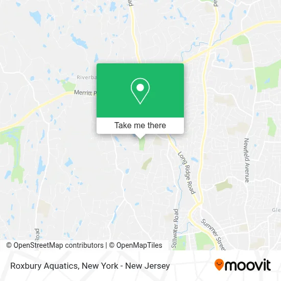
See Roxbury Aquatics, Stamford, on the map
Public Transit to Roxbury Aquatics in Stamford
Wondering how to get to Roxbury Aquatics in Stamford? Moovit helps you find the best way to get to Roxbury Aquatics with step-by-step directions from the nearest public transit station.
Moovit provides free maps and live directions to help you navigate through your city. View schedules, routes, timetables, and find out how long does it take to get to Roxbury Aquatics in real time.
Looking for the nearest stop or station to Roxbury Aquatics? Check out this list of stops closest to your destination: Long Ridge Rd @ Stillwater Rd.
Bus: 331, 336.
Want to see if there’s another route that gets you there at an earlier time? Moovit helps you find alternative routes or times. Get directions from and directions to Roxbury Aquatics easily from the Moovit App or Website.
We make riding to Roxbury Aquatics easy, which is why over 1.5 million users, including users in Stamford, trust Moovit as the best app for public transit. You don’t need to download an individual bus app or train app, Moovit is your all-in-one transit app that helps you find the best bus time or train time available.
For information on prices of bus and train, costs and ride fares to Roxbury Aquatics, please check the Moovit app.
Use the app to navigate to popular places including to the airport, hospital, stadium, grocery store, mall, coffee shop, school, college, and university.
Roxbury Aquatics Address: 240 Roxbury Rd street in Stamford
- Ellen Raynes Berman Dr,
- Stamford City Police Department,
- The Next Street,
- Rope - Roxbury Organization Of Parents & Educators,
- Roxbury, Connecticut,
- Northstar Playmakers,
- Westhill High School,
- Westhill High School (West Hill High School),
- Stamford Fire Department Engine Company 9,
- Sapphire Pools,
- Stamford Health Care Center,
- Civita Care Center at Long Ridge,
- Turn of River,
- Sotheby's International Realty,
- Patricia Rattray Real Estate,
- Catherine Richardson,
- Geri Guzinski,
- Ed Villeda,
- Karen Sheftell,
- Aida M Pedroza Realtor
Places Near Roxbury Aquatics (Stamford)
- Katz's Deli, Manhattan,
- Mountainside Hospital, Glen Ridge,
- Times Square, Manhattan,
- Hudson Yards, Manhattan,
- Rockefeller Center, Manhattan,
- San Gennaro Feast, Manhattan,
- 111 Centre New York City Supreme Court, Manhattan,
- 3 Stone St, Manhattan,
- 26 Federal Plaza, Manhattan,
- Pier 83, Manhattan,
- 911 Memorial, Manhattan,
- 376 Hudson Street, Manhattan,
- Chinatown, Manhattan,
- SoHo, Manhattan,
- qqqq, Manhattan,
- 1 Police Plaza, Manhattan,
- Queens Center Mall, Queens,
- 66 John Street, Manhattan,
- Bellevue Hospital, Manhattan,
- Wall Street, Manhattan
How to get to popular places in New York - New Jersey with public transit
Get around Stamford by public transit!
Traveling around Stamford has never been so easy. See step by step directions as you travel to any attraction, street or major public transit station. View bus and train schedules, arrival times, service alerts and detailed routes on a map, so you know exactly how to get to anywhere in Stamford.
When traveling to any destination around Stamford use Moovit's Live Directions with Get Off Notifications to know exactly where and how far to walk, how long to wait for your line, and how many stops are left. Moovit will alert you when it's time to get off — no need to constantly re-check whether yours is the next stop.
Wondering how to use public transit in Stamford or how to pay for public transit in Stamford? Moovit public transit app can help you navigate your way with public transit easily, and at minimum cost. It includes public transit fees, ticket prices, and costs. Looking for a map of Stamford public transit lines? Moovit public transit app shows all public transit maps in Stamford with all Bus, Train, Subway, Light Rail, Ferry and Cable Car routes and stops on an interactive map.
New York - New Jersey has 6 transit type(s), including: Bus, Train, Subway, Light Rail, Ferry and Cable Car, operated by several transit agencies, including MTA Subway, Metro-North Railroad, LIRR, PATH, MTA New York City Transit - Express routes, MTA Bus, NJ Transit, NYC Ferry, NICE bus, Bee-Line Bus, NJ Transit Rail, Norwalk Transit District, Hartford Line, River Valley Transit and HART