How to get to Royce Integrated Solutions by bus?
Click on the bus route to see step by step directions with maps, line arrival times and updated time schedules.
From CCA Calvary Christian Academy, Fort Lauderdale
51 minFrom W Commercial Blvd & 441 (SR 7), Fort Lauderdale
84 minFrom Trapeze Swing Club, Fort Lauderdale
66 minFrom Coral Square Mall Shopping Center, Coral Springs-Margate
72 minFrom E Commercial Blvd, Fort Lauderdale
79 minFrom Jay's Professional Enterprises, Fort Lauderdale
73 minFrom Hotel Soap, Fort Lauderdale
73 minFrom N Federal Hwy, Fort Lauderdale
73 minFrom Cardinal Gibbons High School, Fort Lauderdale
83 minFrom DRV PNK Stadium, Fort Lauderdale
44 min
How to get to Royce Integrated Solutions by train?
Click on the train route to see step by step directions with maps, line arrival times and updated time schedules.
Bus stops near Royce Integrated Solutions in Pompano Beach
Train station near Royce Integrated Solutions in Pompano Beach
- Pompano Beach Station, 40 min walk,VIEW
Bus lines to Royce Integrated Solutions in Pompano Beach
What are the closest stations to Royce Integrated Solutions?
The closest stations to Royce Integrated Solutions are:
- Powerline Road/Northwest 33rd Street South is 499 yards away, 6 min walk.
- Sample Road & Powerline Road is 914 yards away, 11 min walk.
- Pompano Beach Station is 3393 yards away, 40 min walk.
Which bus lines stop near Royce Integrated Solutions?
These bus lines stop near Royce Integrated Solutions: 14, 34.
Which train line stops near Royce Integrated Solutions?
TRIRAIL (Northbound To Mangonia Park)
What’s the nearest bus station to Royce Integrated Solutions in Pompano Beach?
The nearest bus station to Royce Integrated Solutions in Pompano Beach is Powerline Road/Northwest 33rd Street South. It’s a 6 min walk away.
What time is the first train to Royce Integrated Solutions in Pompano Beach?
The TRIRAIL is the first train that goes to Royce Integrated Solutions in Pompano Beach. It stops nearby at 4:41 AM.
What time is the last train to Royce Integrated Solutions in Pompano Beach?
The TRIRAIL is the last train that goes to Royce Integrated Solutions in Pompano Beach. It stops nearby at 10:50 PM.
What time is the first bus to Royce Integrated Solutions in Pompano Beach?
The 14 is the first bus that goes to Royce Integrated Solutions in Pompano Beach. It stops nearby at 5:20 AM.
What time is the last bus to Royce Integrated Solutions in Pompano Beach?
The 14 is the last bus that goes to Royce Integrated Solutions in Pompano Beach. It stops nearby at 12:14 AM.
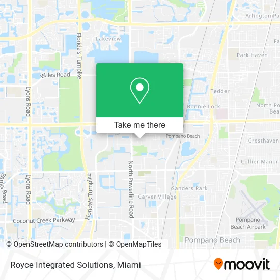
See Royce Integrated Solutions, Pompano Beach, on the map
Public Transit to Royce Integrated Solutions in Pompano Beach
Wondering how to get to Royce Integrated Solutions in Pompano Beach? Moovit helps you find the best way to get to Royce Integrated Solutions with step-by-step directions from the nearest public transit station.
Moovit provides free maps and live directions to help you navigate through your city. View schedules, routes, timetables, and find out how long does it take to get to Royce Integrated Solutions in real time.
Looking for the nearest stop or station to Royce Integrated Solutions? Check out this list of stops closest to your destination: Powerline Road/Northwest 33rd Street South; Sample Road & Powerline Road; Pompano Beach Station.
Bus: 14, 34.Train: TRIRAIL.
Want to see if there’s another route that gets you there at an earlier time? Moovit helps you find alternative routes or times. Get directions from and directions to Royce Integrated Solutions easily from the Moovit App or Website.
We make riding to Royce Integrated Solutions easy, which is why over 1.5 million users, including users in Pompano Beach, trust Moovit as the best app for public transit. You don’t need to download an individual bus app or train app, Moovit is your all-in-one transit app that helps you find the best bus time or train time available.
For information on prices of bus and train, costs and ride fares to Royce Integrated Solutions, please check the Moovit app.
Use the app to navigate to popular places including to the airport, hospital, stadium, grocery store, mall, coffee shop, school, college, and university.
Royce Integrated Solutions Address: 1900 NW 32nd St Pompano Beach, FL 33064 street in Pompano Beach
- Borracharia Brasil - Brazil Tire Repair,
- Star Metal Art,
- Pompano Beach Family Dental,
- Bolero USA,
- Anuzo's Ozuna's,
- B&M Mexican Fusion Cuisine,
- Executive Closets,
- Alpha Dumpsters,
- Florida Quality Truss,
- U-Haul,
- Element,
- Hartzell Painting,
- Global Affinity Alliance,
- Hartzell Construction,
- Allied Bingo Supplies,
- Costco,
- Costco Wholesale,
- American Cutting and Drilling Company,
- Brasil Box Courier,
- Environmental Drilling & Contracting
Places Near Royce Integrated Solutions (Pompano Beach)
- Little Havana, Miami,
- Wynwood, Miami,
- Brickell City Centre, Miami,
- Aventura Mall, Miami Beach,
- Sawgrass mall ( FL ), Miami Beach,
- Miami-Dade County Courthouse, Miami,
- Keiser University Flagship Campus, West Palm Beach,
- Zoo Miami, Miami,
- Miami Design District, Miami,
- Richard E. Gerstein Justice Building, Miami,
- Port of Miami Cruise Terminal, Miami,
- Bayside Marketplace, Miami,
- Marlins Park, Miami,
- Aventura Mall, Miami,
- Miami Freedom Park, Miami,
- Sawgrass Mall, Miami,
- Dolphin Mall, Miami,
- Dolphin Mall Bus, Miami,
- Hard Rock Stadium, Miami Gardens,
- Miami VA Hospital, Miami
How to get to popular places in Miami with public transit
Get around Pompano Beach by public transit!
Traveling around Pompano Beach has never been so easy. See step by step directions as you travel to any attraction, street or major public transit station. View bus and train schedules, arrival times, service alerts and detailed routes on a map, so you know exactly how to get to anywhere in Pompano Beach.
When traveling to any destination around Pompano Beach use Moovit's Live Directions with Get Off Notifications to know exactly where and how far to walk, how long to wait for your line, and how many stops are left. Moovit will alert you when it's time to get off — no need to constantly re-check whether yours is the next stop.
Wondering how to use public transit in Pompano Beach or how to pay for public transit in Pompano Beach? Moovit public transit app can help you navigate your way with public transit easily, and at minimum cost. It includes public transit fees, ticket prices, and costs. Looking for a map of Pompano Beach public transit lines? Moovit public transit app shows all public transit maps in Pompano Beach with all Bus, Train, Light Rail and Ferry routes and stops on an interactive map.
Miami has 4 transit type(s), including: Bus, Train, Light Rail and Ferry, operated by several transit agencies, including Broward County Transit, Miami-Dade Transit, Metrorail, Palm Tran, Tri-Rail, Brightline, MARTY, City of Homestead Trolley, Key West Transit, Treasure Coast Connector, GoLine IRT, Amtrak, Greyhound-us, FlixBus-us and Aventura Express Shuttle Bus