Directions to Roz & Ali (Westbrook) with public transportation
The following transit lines have routes that pass near Roz & Ali
 Bus: 641 A, 641 B.
- Train: COMMUTER RAIL.
How to get to Roz & Ali by bus?
Click on the bus route to see step by step directions with maps, line arrival times and updated time schedules.
How to get to Roz & Ali by train?
Click on the train route to see step by step directions with maps, line arrival times and updated time schedules.
Bus stops near Roz & Ali in Westbrook
Train station near Roz & Ali in Westbrook
- Westbrook, 35 min walk,VIEW
What are the closest stations to Roz & Ali?
The closest stations to Roz & Ali are:
- Shoreline Medical Center is 150 yards away, 3 min walk.
- Route 1 & Golf Links Rd is 1559 yards away, 19 min walk.
- Westbrook is 2982 yards away, 35 min walk.
Which bus line stops near Roz & Ali?
641 A (Madison Route 1)
Which train line stops near Roz & Ali?
COMMUTER RAIL (New London)
What’s the nearest bus station to Roz & Ali in Westbrook?
The nearest bus station to Roz & Ali in Westbrook is Shoreline Medical Center. It’s a 3 min walk away.
What time is the first train to Roz & Ali in Westbrook?
The COMMUTER RAIL is the first train that goes to Roz & Ali in Westbrook. It stops nearby at 4:55 AM.
What time is the last train to Roz & Ali in Westbrook?
The COMMUTER RAIL is the last train that goes to Roz & Ali in Westbrook. It stops nearby at 10:41 PM.
What time is the first bus to Roz & Ali in Westbrook?
The 641 A is the first bus that goes to Roz & Ali in Westbrook. It stops nearby at 6:14 AM.
What time is the last bus to Roz & Ali in Westbrook?
The 641 A is the last bus that goes to Roz & Ali in Westbrook. It stops nearby at 7:31 PM.
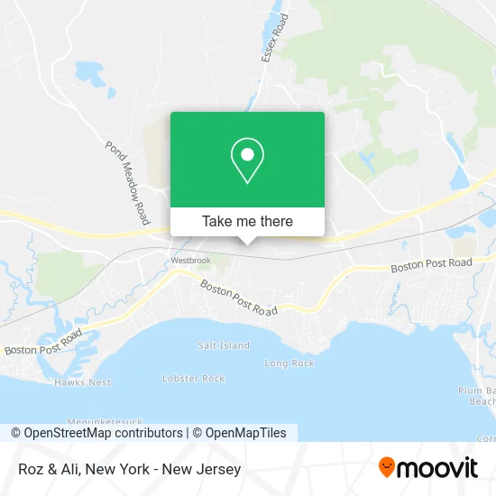
See Roz & Ali, Westbrook, on the map
Public Transit to Roz & Ali in Westbrook
Wondering how to get to Roz & Ali in Westbrook? Moovit helps you find the best way to get to Roz & Ali with step-by-step directions from the nearest public transit station.
Moovit provides free maps and live directions to help you navigate through your city. View schedules, routes, timetables, and find out how long does it take to get to Roz & Ali in real time.
Looking for the nearest stop or station to Roz & Ali? Check out this list of stops closest to your destination: Shoreline Medical Center; Route 1 & Golf Links Rd; Westbrook.
Bus: 641 A, 641 B.Train: COMMUTER RAIL.
Want to see if there’s another route that gets you there at an earlier time? Moovit helps you find alternative routes or times. Get directions from and directions to Roz & Ali easily from the Moovit App or Website.
We make riding to Roz & Ali easy, which is why over 1.5 million users, including users in Westbrook, trust Moovit as the best app for public transit. You don’t need to download an individual bus app or train app, Moovit is your all-in-one transit app that helps you find the best bus time or train time available.
For information on prices of train and bus, costs and ride fares to Roz & Ali, please check the Moovit app.
Use the app to navigate to popular places including to the airport, hospital, stadium, grocery store, mall, coffee shop, school, college, and university.
Roz & Ali Address: 314 Flat Rock Pl Westbrook, CT 06498 street in Westbrook
- Kur Cryotherapy & Recovery Spa,
- Lighthouse Community Church,
- Loren's Cozy Corner,
- Fiore of Westbrook,
- Pepperidge Farm,
- Shoreline Cards and Collectibles,
- Motherhood Maternity Outlet,
- Westbrook Cinemas,
- Bon Worth,
- Carters,
- Front Page Sports,
- Citizens Bank,
- Rue21,
- Stride Rite,
- ATM,
- Pop Culture,
- Outlet Center Westbrook,
- Middlesex Health Primary Care - Westbrook,
- Middlesex Health - Shoreline Medical Center,
- Jennifer Sutherland, MD, MPH
Places Near Roz & Ali (Westbrook)
- 1 Police Plaza, Manhattan,
- Hudson Yards, Manhattan,
- Mountainside Hospital, Glen Ridge,
- qqqq, Manhattan,
- Wall Street, Manhattan,
- 26 Federal Plaza, Manhattan,
- 66 John Street, Manhattan,
- Times Square, Manhattan,
- 376 Hudson Street, Manhattan,
- Pier 83, Manhattan,
- Queens Center Mall, Queens,
- SoHo, Manhattan,
- 3 Stone St, Manhattan,
- Rockefeller Center, Manhattan,
- Chinatown, Manhattan,
- Katz's Deli, Manhattan,
- San Gennaro Feast, Manhattan,
- 911 Memorial, Manhattan,
- Bellevue Hospital, Manhattan,
- 111 Centre New York City Supreme Court, Manhattan
How to get to popular places in New York - New Jersey with public transit
Get around Westbrook by public transit!
Traveling around Westbrook has never been so easy. See step by step directions as you travel to any attraction, street or major public transit station. View bus and train schedules, arrival times, service alerts and detailed routes on a map, so you know exactly how to get to anywhere in Westbrook.
When traveling to any destination around Westbrook use Moovit's Live Directions with Get Off Notifications to know exactly where and how far to walk, how long to wait for your line, and how many stops are left. Moovit will alert you when it's time to get off — no need to constantly re-check whether yours is the next stop.
Wondering how to use public transit in Westbrook or how to pay for public transit in Westbrook? Moovit public transit app can help you navigate your way with public transit easily, and at minimum cost. It includes public transit fees, ticket prices, and costs. Looking for a map of Westbrook public transit lines? Moovit public transit app shows all public transit maps in Westbrook with all Bus, Train, Subway, Light Rail, Ferry and Cable Car routes and stops on an interactive map.
New York - New Jersey has 6 transit type(s), including: Bus, Train, Subway, Light Rail, Ferry and Cable Car, operated by several transit agencies, including MTA Subway, Metro-North Railroad, LIRR, PATH, MTA New York City Transit - Express routes, MTA Bus, NJ Transit, NYC Ferry, NICE bus, Bee-Line Bus, NJ Transit Rail, Norwalk Transit District, Hartford Line, River Valley Transit and HART