How to get to Roz & Ali by bus?
Click on the bus route to see step by step directions with maps, line arrival times and updated time schedules.
Bus stops near Roz & Ali in Orange
Train station near Roz & Ali in Orange
- West Haven, 51 min walk,VIEW
Bus lines to Roz & Ali in Orange
What are the closest stations to Roz & Ali?
The closest stations to Roz & Ali are:
- Marsh Hill Rd @ Indian River Rd is 40 yards away, 1 min walk.
- Boston Post Rd @ S Lambert Rd is 630 yards away, 8 min walk.
- West Haven is 4285 yards away, 51 min walk.
Which bus lines stop near Roz & Ali?
These bus lines stop near Roz & Ali: 261, 262, 271.
What’s the nearest bus station to Roz & Ali in Orange?
The nearest bus station to Roz & Ali in Orange is Marsh Hill Rd @ Indian River Rd. It’s a 1 min walk away.
What time is the first train to Roz & Ali in Orange?
The 3 is the first train that goes to Roz & Ali in Orange. It stops nearby at 3:37 AM.
What time is the last train to Roz & Ali in Orange?
The 3 is the last train that goes to Roz & Ali in Orange. It stops nearby at 3:37 AM.
What time is the first bus to Roz & Ali in Orange?
The 261 is the first bus that goes to Roz & Ali in Orange. It stops nearby at 5:39 AM.
What time is the last bus to Roz & Ali in Orange?
The 261 is the last bus that goes to Roz & Ali in Orange. It stops nearby at 1:07 AM.
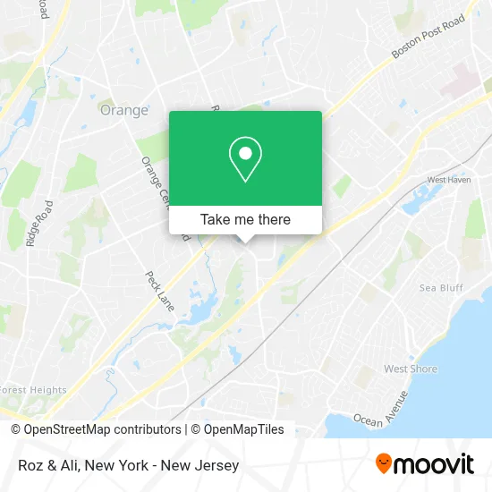
See Roz & Ali, Orange, on the map
Public Transit to Roz & Ali in Orange
Wondering how to get to Roz & Ali in Orange? Moovit helps you find the best way to get to Roz & Ali with step-by-step directions from the nearest public transit station.
Moovit provides free maps and live directions to help you navigate through your city. View schedules, routes, timetables, and find out how long does it take to get to Roz & Ali in real time.
Looking for the nearest stop or station to Roz & Ali? Check out this list of stops closest to your destination: Marsh Hill Rd @ Indian River Rd; Boston Post Rd @ S Lambert Rd; West Haven.
Bus: 261, 262, 271.Train: 3.
Want to see if there’s another route that gets you there at an earlier time? Moovit helps you find alternative routes or times. Get directions from and directions to Roz & Ali easily from the Moovit App or Website.
We make riding to Roz & Ali easy, which is why over 1.5 million users, including users in Orange, trust Moovit as the best app for public transit. You don’t need to download an individual bus app or train app, Moovit is your all-in-one transit app that helps you find the best bus time or train time available.
For information on prices of bus and train, costs and ride fares to Roz & Ali, please check the Moovit app.
Use the app to navigate to popular places including to the airport, hospital, stadium, grocery store, mall, coffee shop, school, college, and university.
Roz & Ali Address: 220 Indian River Rd street in Orange
- On the Border Mexican Grill,
- The Vero at Orange,
- Michael's Arts & Crafts,
- The Bargain House,
- Zefira,
- Colonial Commons - Orange,
- Charter Senior Living Of Orange,
- Bulldog Swim Academy - Orange Ct,
- M Shop Usa,
- Square Peg Pizzeria - Orange,
- Quest Diagnostics - Orange - Employer Drug Testing Not Offered,
- United Illuminating,
- Golf Lounge 18,
- A1 Kickboxing,
- Orange Va Clinic,
- Military Housing Adjuster,
- Fulfillment Works,
- Firebird Digital Inks,
- Sherif Saleh, MD,
- Northshore Dpc
Places Near Roz & Ali (Orange)
- qqqq, Manhattan,
- 3 Stone St, Manhattan,
- 26 Federal Plaza, Manhattan,
- 376 Hudson Street, Manhattan,
- Chinatown, Manhattan,
- Rockefeller Center, Manhattan,
- SoHo, Manhattan,
- 1 Police Plaza, Manhattan,
- Wall Street, Manhattan,
- San Gennaro Feast, Manhattan,
- 66 John Street, Manhattan,
- 911 Memorial, Manhattan,
- Times Square, Manhattan,
- 111 Centre New York City Supreme Court, Manhattan,
- Katz's Deli, Manhattan,
- Mountainside Hospital, Glen Ridge,
- Bellevue Hospital, Manhattan,
- Pier 83, Manhattan,
- Hudson Yards, Manhattan,
- Queens Center Mall, Queens
How to get to popular places in New York - New Jersey with public transit
Get around Orange by public transit!
Traveling around Orange has never been so easy. See step by step directions as you travel to any attraction, street or major public transit station. View bus and train schedules, arrival times, service alerts and detailed routes on a map, so you know exactly how to get to anywhere in Orange.
When traveling to any destination around Orange use Moovit's Live Directions with Get Off Notifications to know exactly where and how far to walk, how long to wait for your line, and how many stops are left. Moovit will alert you when it's time to get off — no need to constantly re-check whether yours is the next stop.
Wondering how to use public transit in Orange or how to pay for public transit in Orange? Moovit public transit app can help you navigate your way with public transit easily, and at minimum cost. It includes public transit fees, ticket prices, and costs. Looking for a map of Orange public transit lines? Moovit public transit app shows all public transit maps in Orange with all Bus, Train, Subway, Light Rail, Ferry and Cable Car routes and stops on an interactive map.
New York - New Jersey has 6 transit type(s), including: Bus, Train, Subway, Light Rail, Ferry and Cable Car, operated by several transit agencies, including MTA Subway, Metro-North Railroad, LIRR, PATH, MTA New York City Transit - Express routes, MTA Bus, NJ Transit, NYC Ferry, NICE bus, Bee-Line Bus, NJ Transit Rail, Norwalk Transit District, Hartford Line, River Valley Transit and HART