Directions to Rps Medic 1 (West Haverstraw) with public transportation
The following transit lines have routes that pass near Rps Medic 1
 Bus: 91, 94, ROCKLAND COACHES, 95, 97.
- Ferry: HAVERSTRAW - OSSINING.
How to get to Rps Medic 1 by bus?
Click on the bus route to see step by step directions with maps, line arrival times and updated time schedules.
From White Plains, NY, White Plains
70 minFrom Westchester Mall, White Plains
76 minFrom St. John's Riverside Hospital, Yonkers
119 minFrom New City (New), New City
58 minFrom Regeneron Pharmaceuticals Inc, Tarrytown
85 minFrom Palisades mall, West Nyack
37 minFrom Peekskill, NY, Peekskill
220 minFrom Rockland #45 Express Bus to Port Authority Bus Terminal, NYC, Spring Valley
50 minFrom 11A Bus to Port Authority, Spring Valley
50 min
Bus stops near Rps Medic 1 in West Haverstraw
Ferry station near Rps Medic 1 in West Haverstraw
- Haverstraw, 44 min walk,VIEW
Bus lines to Rps Medic 1 in West Haverstraw
What are the closest stations to Rps Medic 1?
The closest stations to Rps Medic 1 are:
- Rte 9w & Walnut Hills is 574 yards away, 7 min walk.
- Walnut Hill Apts is 600 yards away, 8 min walk.
- Samsondale Plaza is 1968 yards away, 23 min walk.
- Haverstraw is 3727 yards away, 44 min walk.
Which bus lines stop near Rps Medic 1?
These bus lines stop near Rps Medic 1: 91, 94.
What’s the nearest bus station to Rps Medic 1 in West Haverstraw?
The nearest bus station to Rps Medic 1 in West Haverstraw is Rte 9w & Walnut Hills. It’s a 7 min walk away.
What time is the first bus to Rps Medic 1 in West Haverstraw?
The ROCKLAND COACHES is the first bus that goes to Rps Medic 1 in West Haverstraw. It stops nearby at 5:06 AM.
What time is the last bus to Rps Medic 1 in West Haverstraw?
The ROCKLAND COACHES is the last bus that goes to Rps Medic 1 in West Haverstraw. It stops nearby at 8:31 PM.
What time is the first ferry to Rps Medic 1 in West Haverstraw?
The HAVERSTRAW - OSSINING is the first ferry that goes to Rps Medic 1 in West Haverstraw. It stops nearby at 5:46 AM.
What time is the last ferry to Rps Medic 1 in West Haverstraw?
The HAVERSTRAW - OSSINING is the last ferry that goes to Rps Medic 1 in West Haverstraw. It stops nearby at 9:57 PM.
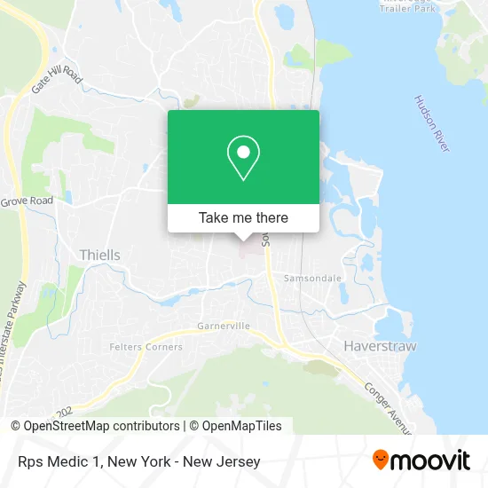
See Rps Medic 1, West Haverstraw, on the map
Public Transit to Rps Medic 1 in West Haverstraw
Wondering how to get to Rps Medic 1 in West Haverstraw? Moovit helps you find the best way to get to Rps Medic 1 with step-by-step directions from the nearest public transit station.
Moovit provides free maps and live directions to help you navigate through your city. View schedules, routes, timetables, and find out how long does it take to get to Rps Medic 1 in real time.
Looking for the nearest stop or station to Rps Medic 1? Check out this list of stops closest to your destination: Rte 9w & Walnut Hills; Walnut Hill Apts; Samsondale Plaza; Haverstraw.
Bus: 91, 94, ROCKLAND COACHES, 95, 97.Ferry: HAVERSTRAW - OSSINING.
Want to see if there’s another route that gets you there at an earlier time? Moovit helps you find alternative routes or times. Get directions from and directions to Rps Medic 1 easily from the Moovit App or Website.
We make riding to Rps Medic 1 easy, which is why over 1.5 million users, including users in West Haverstraw, trust Moovit as the best app for public transit. You don’t need to download an individual bus app or train app, Moovit is your all-in-one transit app that helps you find the best bus time or train time available.
For information on prices of bus and train, costs and ride fares to Rps Medic 1, please check the Moovit app.
Use the app to navigate to popular places including to the airport, hospital, stadium, grocery store, mall, coffee shop, school, college, and university.
Rps Medic 1 Address: 51 N Route 9W street in West Haverstraw
- Helen Hayes Hospital,
- Fraser-Hoyer House,
- Helen Hayes Hospital Residential Health Care Fac,
- North Rockland Central School District,
- KFC - Kentucky Fried Chicken,
- Tires Fast,
- Nicholson, Erica Joy Pa,
- Accurate Investigations,
- Helen Hayes Hospital Foundation,
- Tractor Supply Co.,
- Impact Career Pathways,
- Cut and Polished Corporation,
- Victor P Zugibe Inc,
- Mr K's Services, Inc.,
- Tim Hortons,
- 9 N Route 9W,
- 9 N Route 9W ,
- Rappaport Alarms,
- George's Barber Shop,
- New York Photography Inc
Places Near Rps Medic 1 (West Haverstraw)
- 66 John Street, Manhattan,
- Bellevue Hospital, Manhattan,
- Katz's Deli, Manhattan,
- 911 Memorial, Manhattan,
- 3 Stone St, Manhattan,
- 376 Hudson Street, Manhattan,
- 111 Centre New York City Supreme Court, Manhattan,
- Mountainside Hospital, Glen Ridge,
- Chinatown, Manhattan,
- Hudson Yards, Manhattan,
- San Gennaro Feast, Manhattan,
- Queens Center Mall, Queens,
- 1 Police Plaza, Manhattan,
- Rockefeller Center, Manhattan,
- qqqq, Manhattan,
- Pier 83, Manhattan,
- 26 Federal Plaza, Manhattan,
- SoHo, Manhattan,
- Times Square, Manhattan,
- Wall Street, Manhattan
How to get to popular places in New York - New Jersey with public transit
Get around West Haverstraw by public transit!
Traveling around West Haverstraw has never been so easy. See step by step directions as you travel to any attraction, street or major public transit station. View bus and train schedules, arrival times, service alerts and detailed routes on a map, so you know exactly how to get to anywhere in West Haverstraw.
When traveling to any destination around West Haverstraw use Moovit's Live Directions with Get Off Notifications to know exactly where and how far to walk, how long to wait for your line, and how many stops are left. Moovit will alert you when it's time to get off — no need to constantly re-check whether yours is the next stop.
Wondering how to use public transit in West Haverstraw or how to pay for public transit in West Haverstraw? Moovit public transit app can help you navigate your way with public transit easily, and at minimum cost. It includes public transit fees, ticket prices, and costs. Looking for a map of West Haverstraw public transit lines? Moovit public transit app shows all public transit maps in West Haverstraw with all Bus, Train, Subway, Light Rail, Ferry and Cable Car routes and stops on an interactive map.
New York - New Jersey has 6 transit type(s), including: Bus, Train, Subway, Light Rail, Ferry and Cable Car, operated by several transit agencies, including MTA Subway, Metro-North Railroad, LIRR, PATH, MTA New York City Transit - Express routes, MTA Bus, NJ Transit, NYC Ferry, NICE bus, Bee-Line Bus, NJ Transit Rail, Norwalk Transit District, Hartford Line, River Valley Transit and HART