How to get to Rshair by bus?
Click on the bus route to see step by step directions with maps, line arrival times and updated time schedules.
From NJ 440, Jersey City
76 minFrom Walmart, Kearny
61 minFrom Nutley, NJ, Nutley
46 minFrom Union County College - Cranford Campus, Cranford
77 minFrom Hudson Mall, Jersey City
65 minFrom The Mills At Jersey Gardens, Elizabeth
73 minFrom Clara Maass Medical Center, Belleville
38 minFrom Bayonne, NJ, Bayonne
87 minFrom Ikea, Elizabeth
62 min
Bus stops near Rshair in Newark
Train station near Rshair in Newark
- Brick Church, 13 min walk,VIEW
Light Rail stations near Rshair in Newark
- Norfolk Street Light Rail Station, 43 min walk,VIEW
Bus lines to Rshair in Newark
What are the closest stations to Rshair?
The closest stations to Rshair are:
- 18th Ave at Vermont Ave is 269 yards away, 4 min walk.
- South Orange Ave at Vermont Ave is 698 yards away, 9 min walk.
- Western Pkwy at 18th Ave is 699 yards away, 9 min walk.
- Brick Church is 1062 yards away, 13 min walk.
- Norfolk Street Light Rail Station is 3645 yards away, 43 min walk.
Which bus lines stop near Rshair?
These bus lines stop near Rshair: 1, 94.
What’s the nearest train station to Rshair in Newark?
The nearest train station to Rshair in Newark is Brick Church. It’s a 13 min walk away.
What’s the nearest bus station to Rshair in Newark?
The nearest bus station to Rshair in Newark is 18th Ave at Vermont Ave. It’s a 4 min walk away.
What time is the first light rail to Rshair in Newark?
The NLR is the first light rail that goes to Rshair in Newark. It stops nearby at 4:25 AM.
What time is the last light rail to Rshair in Newark?
The NLR is the last light rail that goes to Rshair in Newark. It stops nearby at 1:20 AM.
What time is the first train to Rshair in Newark?
The MEL is the first train that goes to Rshair in Newark. It stops nearby at 5:00 AM.
What time is the last train to Rshair in Newark?
The MEL is the last train that goes to Rshair in Newark. It stops nearby at 1:32 AM.
What time is the first bus to Rshair in Newark?
The 1 is the first bus that goes to Rshair in Newark. It stops nearby at 3:19 AM.
What time is the last bus to Rshair in Newark?
The 1 is the last bus that goes to Rshair in Newark. It stops nearby at 3:17 AM.
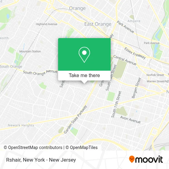
See Rshair, Newark, on the map
Public Transit to Rshair in Newark
Wondering how to get to Rshair in Newark? Moovit helps you find the best way to get to Rshair with step-by-step directions from the nearest public transit station.
Moovit provides free maps and live directions to help you navigate through your city. View schedules, routes, timetables, and find out how long does it take to get to Rshair in real time.
Looking for the nearest stop or station to Rshair? Check out this list of stops closest to your destination: 18th Ave at Vermont Ave; South Orange Ave at Vermont Ave; Western Pkwy at 18th Ave; Brick Church; Norfolk Street Light Rail Station.
Bus: 1, 94, 361, 31, 107.Train: GB, MEL.
Want to see if there’s another route that gets you there at an earlier time? Moovit helps you find alternative routes or times. Get directions from and directions to Rshair easily from the Moovit App or Website.
We make riding to Rshair easy, which is why over 1.5 million users, including users in Newark, trust Moovit as the best app for public transit. You don’t need to download an individual bus app or train app, Moovit is your all-in-one transit app that helps you find the best bus time or train time available.
For information on prices of bus, light rail and train, costs and ride fares to Rshair, please check the Moovit app.
Use the app to navigate to popular places including to the airport, hospital, stadium, grocery store, mall, coffee shop, school, college, and university.
Rshair Address: 109 Grove Ter street in Newark
- Word & Deliverance Inc,
- Braidbymie,
- Prestoncarter.Co,
- Peacebraidsandweaves,
- Lower Vailsburg, New Jersey,
- 18th Ave Smokes,
- Flowers Gift Shop,
- All Spirit Botanica,
- Fancy Nails Salon,
- Mariam Z Hair Braiding,
- Nima African Restaurant,
- Yasmiyn's Child Care Inc.,
- Alfa Barbershop,
- Romaisha Chicken & Platter,
- Jamire Caribbean Restaurant,
- Faith Deliverance Gospel Center,
- C-Town,
- Western Union,
- P and G Autocare,
- Loj South Union
Places Near Rshair (Newark)
- 111 Centre New York City Supreme Court, Manhattan,
- Mountainside Hospital, Glen Ridge,
- qqqq, Manhattan,
- 1 Police Plaza, Manhattan,
- SoHo, Manhattan,
- 66 John Street, Manhattan,
- Pier 83, Manhattan,
- Wall Street, Manhattan,
- Hudson Yards, Manhattan,
- 376 Hudson Street, Manhattan,
- Times Square, Manhattan,
- Queens Center Mall, Queens,
- Rockefeller Center, Manhattan,
- 3 Stone St, Manhattan,
- 26 Federal Plaza, Manhattan,
- 911 Memorial, Manhattan,
- Katz's Deli, Manhattan,
- Chinatown, Manhattan,
- Bellevue Hospital, Manhattan,
- San Gennaro Feast, Manhattan
How to get to popular places in New York - New Jersey with public transit
Get around Newark by public transit!
Traveling around Newark has never been so easy. See step by step directions as you travel to any attraction, street or major public transit station. View bus and train schedules, arrival times, service alerts and detailed routes on a map, so you know exactly how to get to anywhere in Newark.
When traveling to any destination around Newark use Moovit's Live Directions with Get Off Notifications to know exactly where and how far to walk, how long to wait for your line, and how many stops are left. Moovit will alert you when it's time to get off — no need to constantly re-check whether yours is the next stop.
Wondering how to use public transit in Newark or how to pay for public transit in Newark? Moovit public transit app can help you navigate your way with public transit easily, and at minimum cost. It includes public transit fees, ticket prices, and costs. Looking for a map of Newark public transit lines? Moovit public transit app shows all public transit maps in Newark with all Bus, Train, Subway, Light Rail, Ferry and Cable Car routes and stops on an interactive map.
New York - New Jersey has 6 transit type(s), including: Bus, Train, Subway, Light Rail, Ferry and Cable Car, operated by several transit agencies, including MTA Subway, Metro-North Railroad, LIRR, PATH, MTA New York City Transit - Express routes, MTA Bus, NJ Transit, NYC Ferry, NICE bus, Bee-Line Bus, NJ Transit Rail, Norwalk Transit District, Hartford Line, River Valley Transit and HART