How to get to Rst Solar Energy by bus?
Click on the bus route to see step by step directions with maps, line arrival times and updated time schedules.
From E 70th St and 2nd, Manhattan
59 minFrom Metro North Station, Yankee Stadium, Bronx
95 minFrom Guggenheim Museum, Manhattan
72 minFrom Richmond Hill, Queens
57 minFrom Prospect Avenue, Bronx
81 minFrom The Mall at Bay Plaza, Bronx
56 minFrom Apollo Theater, Manhattan
73 minFrom 32-20 northern blvd, Queens
59 minFrom St. Raymond's Cemetery, Bronx
33 minFrom E 77th St / Lexington Ave, Manhattan
59 min
How to get to Rst Solar Energy by train?
Click on the train route to see step by step directions with maps, line arrival times and updated time schedules.
How to get to Rst Solar Energy by subway?
Click on the subway route to see step by step directions with maps, line arrival times and updated time schedules.
From E 70th St and 2nd, Manhattan
85 minFrom Metro North Station, Yankee Stadium, Bronx
106 minFrom Guggenheim Museum, Manhattan
88 minFrom Richmond Hill, Queens
72 minFrom Prospect Avenue, Bronx
115 minFrom The Mall at Bay Plaza, Bronx
139 minFrom Apollo Theater, Manhattan
93 minFrom 32-20 northern blvd, Queens
64 minFrom E 77th St / Lexington Ave, Manhattan
78 min
Bus stops near Rst Solar Energy in Queens
Subway station near Rst Solar Energy in Queens
- Flushing-Main St, 11 min walk,VIEW
Train station near Rst Solar Energy in Queens
- Flushing - Main Street, 14 min walk,VIEW
Bus lines to Rst Solar Energy in Queens
What are the closest stations to Rst Solar Energy?
The closest stations to Rst Solar Energy are:
- Ulmer St/25 Av is 385 yards away, 5 min walk.
- College Point Blvd/123 St is 701 yards away, 9 min walk.
- Whitestone Expwy/Linden Pl is 768 yards away, 10 min walk.
- Flushing-Main St is 862 yards away, 11 min walk.
- Flushing - Main Street is 1136 yards away, 14 min walk.
Which bus lines stop near Rst Solar Energy?
These bus lines stop near Rst Solar Energy: Q25, Q50, QM2.
Which train line stops near Rst Solar Energy?
PORT WASHINGTON BRANCH (Port Washington)
Which subway lines stop near Rst Solar Energy?
These subway lines stop near Rst Solar Energy: 2, 7.
What’s the nearest subway station to Rst Solar Energy in Queens?
The nearest subway station to Rst Solar Energy in Queens is Flushing-Main St. It’s a 11 min walk away.
What’s the nearest train station to Rst Solar Energy in Queens?
The nearest train station to Rst Solar Energy in Queens is Flushing - Main Street. It’s a 14 min walk away.
What’s the nearest bus station to Rst Solar Energy in Queens?
The nearest bus station to Rst Solar Energy in Queens is Ulmer St/25 Av. It’s a 5 min walk away.
What time is the first subway to Rst Solar Energy in Queens?
The 7 is the first subway that goes to Rst Solar Energy in Queens. It stops nearby at 3:00 AM.
What time is the last subway to Rst Solar Energy in Queens?
The 7 is the last subway that goes to Rst Solar Energy in Queens. It stops nearby at 3:31 AM.
What time is the first train to Rst Solar Energy in Queens?
The PORT WASHINGTON BRANCH is the first train that goes to Rst Solar Energy in Queens. It stops nearby at 3:35 AM.
What time is the last train to Rst Solar Energy in Queens?
The PORT WASHINGTON BRANCH is the last train that goes to Rst Solar Energy in Queens. It stops nearby at 2:39 AM.
What time is the first bus to Rst Solar Energy in Queens?
The Q26 is the first bus that goes to Rst Solar Energy in Queens. It stops nearby at 3:05 AM.
What time is the last bus to Rst Solar Energy in Queens?
The Q25 is the last bus that goes to Rst Solar Energy in Queens. It stops nearby at 3:15 AM.
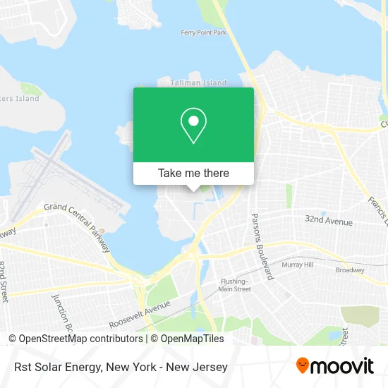
See Rst Solar Energy, Queens, on the map
Public Transit to Rst Solar Energy in Queens
Wondering how to get to Rst Solar Energy in Queens? Moovit helps you find the best way to get to Rst Solar Energy with step-by-step directions from the nearest public transit station.
Moovit provides free maps and live directions to help you navigate through your city. View schedules, routes, timetables, and find out how long does it take to get to Rst Solar Energy in real time.
Looking for the nearest stop or station to Rst Solar Energy? Check out this list of stops closest to your destination: Ulmer St/25 Av; College Point Blvd/123 St; Whitestone Expwy/Linden Pl; Flushing-Main St; Flushing - Main Street.
Bus: Q25, Q50, QM2, Q26, QM20, QM32.Train: PORT WASHINGTON BRANCH.Subway: 2, 7, 7X.
Want to see if there’s another route that gets you there at an earlier time? Moovit helps you find alternative routes or times. Get directions from and directions to Rst Solar Energy easily from the Moovit App or Website.
We make riding to Rst Solar Energy easy, which is why over 1.5 million users, including users in Queens, trust Moovit as the best app for public transit. You don’t need to download an individual bus app or train app, Moovit is your all-in-one transit app that helps you find the best bus time or train time available.
For information on prices of bus, subway and train, costs and ride fares to Rst Solar Energy, please check the Moovit app.
Use the app to navigate to popular places including to the airport, hospital, stadium, grocery store, mall, coffee shop, school, college, and university.
Rst Solar Energy Address: 129-09 26th Ave street in Queens
- Elite Amenity Management,
- Sen Mart International,
- Unified Wireless,
- 129-09 26th Avenue,
- Doone Technologes,
- Mujeog Jjang Restaurant -J&Ch Catering Corp / Pig's Trotters, Chicken, Bento Boxes / 족발,치킨,도시락 전문,
- Park & Park Llp,
- Mg Sign Corp,
- Pelco Parts,
- Lcd Pros Inc,
- MTA Bus College Point Depot,
- MTA Regional Bus Depot - College Point,
- Trisonic,
- Heartland NY,
- Bliss & Wisdom Young Adults - NY 紐約福智青年,
- 130-30 28th Avenue,
- Police Academy,
- Police Academy College Point,
- Unified Wireless,
- Trisonic
Places Near Rst Solar Energy (Queens)
- Hudson Yards, Manhattan,
- 3 Stone St, Manhattan,
- Mountainside Hospital, Glen Ridge,
- 376 Hudson Street, Manhattan,
- 111 Centre New York City Supreme Court, Manhattan,
- Rockefeller Center, Manhattan,
- Wall Street, Manhattan,
- San Gennaro Feast, Manhattan,
- Bellevue Hospital, Manhattan,
- 1 Police Plaza, Manhattan,
- 911 Memorial, Manhattan,
- qqqq, Manhattan,
- SoHo, Manhattan,
- 26 Federal Plaza, Manhattan,
- 66 John Street, Manhattan,
- Times Square, Manhattan,
- Pier 83, Manhattan,
- Katz's Deli, Manhattan,
- Queens Center Mall, Queens,
- Chinatown, Manhattan
How to get to popular places in New York - New Jersey with public transit
Get around Queens by public transit!
Traveling around Queens has never been so easy. See step by step directions as you travel to any attraction, street or major public transit station. View bus and train schedules, arrival times, service alerts and detailed routes on a map, so you know exactly how to get to anywhere in Queens.
When traveling to any destination around Queens use Moovit's Live Directions with Get Off Notifications to know exactly where and how far to walk, how long to wait for your line, and how many stops are left. Moovit will alert you when it's time to get off — no need to constantly re-check whether yours is the next stop.
Wondering how to use public transit in Queens or how to pay for public transit in Queens? Moovit public transit app can help you navigate your way with public transit easily, and at minimum cost. It includes public transit fees, ticket prices, and costs. Looking for a map of Queens public transit lines? Moovit public transit app shows all public transit maps in Queens with all Bus, Train, Subway, Light Rail, Ferry and Cable Car routes and stops on an interactive map.
New York - New Jersey has 6 transit type(s), including: Bus, Train, Subway, Light Rail, Ferry and Cable Car, operated by several transit agencies, including MTA Subway, Metro-North Railroad, LIRR, PATH, MTA New York City Transit - Express routes, MTA Bus, NJ Transit, NYC Ferry, NICE bus, Bee-Line Bus, NJ Transit Rail, Norwalk Transit District, Hartford Line, River Valley Transit and HART