How to get to Rt 500 by bus?
Click on the bus route to see step by step directions with maps, line arrival times and updated time schedules.
From Linden, NJ, Linden
107 minFrom IKEA Elizabeth Shuttle Bus To Manhattan, Elizabeth
88 minFrom Plainfield, NJ, Plainfield
50 minFrom Elizabeth, NJ, Elizabeth
98 minFrom Hillside, NJ, Hillside
97 minFrom Community Coach 77 Bus Stop, Livingston
98 minFrom Saint Barnabas Medical Center, Livingston
203 minFrom Union County College - Cranford Campus, Cranford
93 min
How to get to Rt 500 by train?
Click on the train route to see step by step directions with maps, line arrival times and updated time schedules.
Train stations near Rt 500 in Berkeley Heights
Bus stop near Rt 500 in Berkeley Heights
- Connell Dr at Bus Stop - Intersection 1#, 28 min walk,VIEW
Bus lines to Rt 500 in Berkeley Heights
- 986, Summit Via N Providence Center,VIEW
What are the closest stations to Rt 500?
The closest stations to Rt 500 are:
- Fanwood is 2241 yards away, 26 min walk.
- Connell Dr at Bus Stop - Intersection 1# is 2343 yards away, 28 min walk.
- Berkeley Heights is 3633 yards away, 43 min walk.
Which bus lines stop near Rt 500?
These bus lines stop near Rt 500: 65, 986.
Which train line stops near Rt 500?
GB (Gladstone)
What’s the nearest train station to Rt 500 in Berkeley Heights?
The nearest train station to Rt 500 in Berkeley Heights is Fanwood. It’s a 26 min walk away.
What time is the first train to Rt 500 in Berkeley Heights?
The RVL is the first train that goes to Rt 500 in Berkeley Heights. It stops nearby at 4:57 AM.
What time is the last train to Rt 500 in Berkeley Heights?
The RVL is the last train that goes to Rt 500 in Berkeley Heights. It stops nearby at 1:54 AM.
What time is the first bus to Rt 500 in Berkeley Heights?
The 986 is the first bus that goes to Rt 500 in Berkeley Heights. It stops nearby at 6:25 AM.
What time is the last bus to Rt 500 in Berkeley Heights?
The 986 is the last bus that goes to Rt 500 in Berkeley Heights. It stops nearby at 7:33 PM.
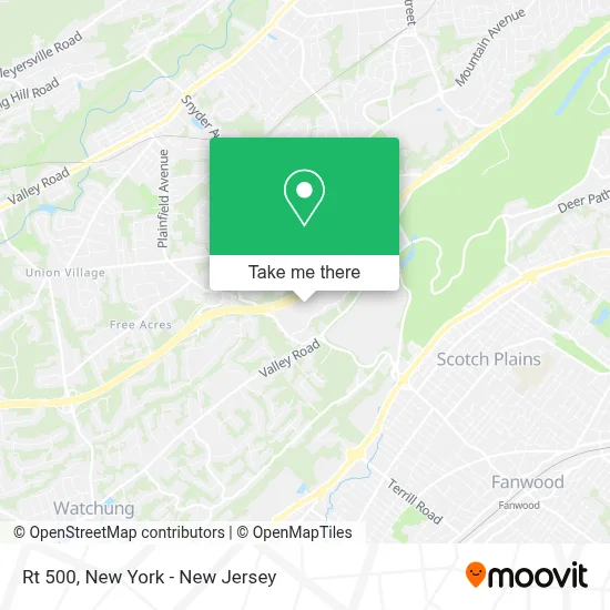
See Rt 500, Berkeley Heights, on the map
Public Transit to Rt 500 in Berkeley Heights
Wondering how to get to Rt 500 in Berkeley Heights? Moovit helps you find the best way to get to Rt 500 with step-by-step directions from the nearest public transit station.
Moovit provides free maps and live directions to help you navigate through your city. View schedules, routes, timetables, and find out how long does it take to get to Rt 500 in real time.
Looking for the nearest stop or station to Rt 500? Check out this list of stops closest to your destination: Fanwood; Connell Dr at Bus Stop - Intersection 1#; Berkeley Heights.
Bus: 65, 986.Train: GB, RVL.
Want to see if there’s another route that gets you there at an earlier time? Moovit helps you find alternative routes or times. Get directions from and directions to Rt 500 easily from the Moovit App or Website.
We make riding to Rt 500 easy, which is why over 1.5 million users, including users in Berkeley Heights, trust Moovit as the best app for public transit. You don’t need to download an individual bus app or train app, Moovit is your all-in-one transit app that helps you find the best bus time or train time available.
For information on prices of bus and train, costs and ride fares to Rt 500, please check the Moovit app.
Use the app to navigate to popular places including to the airport, hospital, stadium, grocery store, mall, coffee shop, school, college, and university.
Rt 500 Address: 500 District Dr street in Berkeley Heights
- Grain & Cane,
- STARBUCKS,
- Connell Park,
- Connell Corporate Center,
- Axtria,
- Broadspire Services,
- Embassy Suites by Hilton Berkeley Heights,
- Hub International,
- Ford & Harrison Llp,
- Embassy Suites by Hilton,
- Fieldhouse,
- Axis Group Llc,
- Cyclacel Pharmaceuticals,
- Beneficial Wealth,
- The Park.Nj,
- Final Mile Legal,
- Mainetti,
- Viventium Software, Inc,
- Devour Creative Catering,
- Sikh 4 Humanity
Places Near Rt 500 (Berkeley Heights)
- Rockefeller Center, Manhattan,
- 1 Police Plaza, Manhattan,
- 111 Centre New York City Supreme Court, Manhattan,
- Bellevue Hospital, Manhattan,
- Mountainside Hospital, Glen Ridge,
- Wall Street, Manhattan,
- SoHo, Manhattan,
- Hudson Yards, Manhattan,
- Times Square, Manhattan,
- 26 Federal Plaza, Manhattan,
- 376 Hudson Street, Manhattan,
- Pier 83, Manhattan,
- 66 John Street, Manhattan,
- Katz's Deli, Manhattan,
- Chinatown, Manhattan,
- San Gennaro Feast, Manhattan,
- qqqq, Manhattan,
- Queens Center Mall, Queens,
- 3 Stone St, Manhattan,
- 911 Memorial, Manhattan
How to get to popular places in New York - New Jersey with public transit
Get around Berkeley Heights by public transit!
Traveling around Berkeley Heights has never been so easy. See step by step directions as you travel to any attraction, street or major public transit station. View bus and train schedules, arrival times, service alerts and detailed routes on a map, so you know exactly how to get to anywhere in Berkeley Heights.
When traveling to any destination around Berkeley Heights use Moovit's Live Directions with Get Off Notifications to know exactly where and how far to walk, how long to wait for your line, and how many stops are left. Moovit will alert you when it's time to get off — no need to constantly re-check whether yours is the next stop.
Wondering how to use public transit in Berkeley Heights or how to pay for public transit in Berkeley Heights? Moovit public transit app can help you navigate your way with public transit easily, and at minimum cost. It includes public transit fees, ticket prices, and costs. Looking for a map of Berkeley Heights public transit lines? Moovit public transit app shows all public transit maps in Berkeley Heights with all Bus, Train, Subway, Light Rail, Ferry and Cable Car routes and stops on an interactive map.
New York - New Jersey has 6 transit type(s), including: Bus, Train, Subway, Light Rail, Ferry and Cable Car, operated by several transit agencies, including MTA Subway, Metro-North Railroad, LIRR, PATH, MTA New York City Transit - Express routes, MTA Bus, NJ Transit, NYC Ferry, NICE bus, Bee-Line Bus, NJ Transit Rail, Norwalk Transit District, Hartford Line, River Valley Transit and HART