How to get to Rtpc by bus?
Click on the bus route to see step by step directions with maps, line arrival times and updated time schedules.
From Community Lines, Jersey City
61 minFrom Community Coach Bus 77, West Orange
39 minFrom Bloomfield, NJ, Bloomfield
56 minFrom Newport Mall Bus, Jersey City
51 minFrom IKEA Elizabeth Shuttle Bus To Manhattan, Elizabeth
48 minFrom Mountainside Hospital, Glen Ridge
60 minFrom Belleville, NJ, Belleville
47 minFrom Bayonne, NJ, Bayonne
84 minFrom Nutley, NJ, Nutley
50 minFrom Bayonne, NJ, Bayonne
92 min
How to get to Rtpc by train?
Click on the train route to see step by step directions with maps, line arrival times and updated time schedules.
Bus stops near Rtpc in Newark
Light Rail stations near Rtpc in Newark
- Military Park Light Rail Station, 16 min walk,VIEW
Bus lines to Rtpc in Newark
What are the closest stations to Rtpc?
The closest stations to Rtpc are:
- Springfield Ave at Blum St is 162 yards away, 3 min walk.
- Springfield Ave at S 10th St is 206 yards away, 3 min walk.
- 16th Ave at South 10th St is 464 yards away, 6 min walk.
- Military Park Light Rail Station is 1329 yards away, 16 min walk.
Which bus lines stop near Rtpc?
These bus lines stop near Rtpc: 1, 25, 5, GO25.
Which train lines stop near Rtpc?
These train lines stop near Rtpc: ML, NJCL.
What’s the nearest light rail station to Rtpc in Newark?
The nearest light rail station to Rtpc in Newark is Military Park Light Rail Station. It’s a 16 min walk away.
What’s the nearest bus station to Rtpc in Newark?
The nearest bus stations to Rtpc in Newark are Springfield Ave at Blum St and Springfield Ave at S 10th St. The closest one is a 3 min walk away.
What time is the first light rail to Rtpc in Newark?
The NLR is the first light rail that goes to Rtpc in Newark. It stops nearby at 4:24 AM.
What time is the last light rail to Rtpc in Newark?
The NLR is the last light rail that goes to Rtpc in Newark. It stops nearby at 1:21 AM.
What time is the first bus to Rtpc in Newark?
The 25 is the first bus that goes to Rtpc in Newark. It stops nearby at 3:32 AM.
What time is the last bus to Rtpc in Newark?
The 25 is the last bus that goes to Rtpc in Newark. It stops nearby at 2:48 AM.
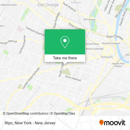
See Rtpc, Newark, on the map
Public Transit to Rtpc in Newark
Wondering how to get to Rtpc in Newark? Moovit helps you find the best way to get to Rtpc with step-by-step directions from the nearest public transit station.
Moovit provides free maps and live directions to help you navigate through your city. View schedules, routes, timetables, and find out how long does it take to get to Rtpc in real time.
Looking for the nearest stop or station to Rtpc? Check out this list of stops closest to your destination: Springfield Ave at Blum St; Springfield Ave at S 10th St; 16th Ave at South 10th St; Military Park Light Rail Station.
Bus: 1, 25, 5, GO25, 361, 375.Train: ML, NJCL.
Want to see if there’s another route that gets you there at an earlier time? Moovit helps you find alternative routes or times. Get directions from and directions to Rtpc easily from the Moovit App or Website.
We make riding to Rtpc easy, which is why over 1.5 million users, including users in Newark, trust Moovit as the best app for public transit. You don’t need to download an individual bus app or train app, Moovit is your all-in-one transit app that helps you find the best bus time or train time available.
For information on prices of bus, train and light rail, costs and ride fares to Rtpc, please check the Moovit app.
Use the app to navigate to popular places including to the airport, hospital, stadium, grocery store, mall, coffee shop, school, college, and university.
Rtpc Address: 15 Gareis St street in Newark
- Cogic New Beginning Ministry,
- Gracemercy Party Rentals,
- Best Kept Secrets,
- God Of Covenant Cherubim and Seraphim,
- Aike-J Llc,
- Pat's Place,
- Capital One Bank,
- Brick City House Of Hope,
- First Corinthian Missionary Baptist Church,
- Citadel of God Almighty Satellite Church New Jersey Cogasat-NJ,
- Papa Johns Pizza,
- Iq Custom Design,
- Mydivas Hair Braiding,
- Classic Hair Braiding #2,
- Masjid Futa Islamic Center NJ,
- Home Decor Furniture Newark,
- Good Shepherd Church Of Christ, Disciples Of Christ,
- Tosabs School,
- Corinthian Homes,
- Little Rock Holiness Temple
Places Near Rtpc (Newark)
- Rockefeller Center, Manhattan,
- Queens Center Mall, Queens,
- Katz's Deli, Manhattan,
- Hudson Yards, Manhattan,
- Bellevue Hospital, Manhattan,
- Wall Street, Manhattan,
- 111 Centre New York City Supreme Court, Manhattan,
- 3 Stone St, Manhattan,
- 26 Federal Plaza, Manhattan,
- 66 John Street, Manhattan,
- Pier 83, Manhattan,
- Chinatown, Manhattan,
- Times Square, Manhattan,
- qqqq, Manhattan,
- Mountainside Hospital, Glen Ridge,
- 911 Memorial, Manhattan,
- 1 Police Plaza, Manhattan,
- SoHo, Manhattan,
- San Gennaro Feast, Manhattan,
- 376 Hudson Street, Manhattan
How to get to popular places in New York - New Jersey with public transit
Get around Newark by public transit!
Traveling around Newark has never been so easy. See step by step directions as you travel to any attraction, street or major public transit station. View bus and train schedules, arrival times, service alerts and detailed routes on a map, so you know exactly how to get to anywhere in Newark.
When traveling to any destination around Newark use Moovit's Live Directions with Get Off Notifications to know exactly where and how far to walk, how long to wait for your line, and how many stops are left. Moovit will alert you when it's time to get off — no need to constantly re-check whether yours is the next stop.
Wondering how to use public transit in Newark or how to pay for public transit in Newark? Moovit public transit app can help you navigate your way with public transit easily, and at minimum cost. It includes public transit fees, ticket prices, and costs. Looking for a map of Newark public transit lines? Moovit public transit app shows all public transit maps in Newark with all Bus, Train, Subway, Light Rail, Ferry and Cable Car routes and stops on an interactive map.
New York - New Jersey has 6 transit type(s), including: Bus, Train, Subway, Light Rail, Ferry and Cable Car, operated by several transit agencies, including MTA Subway, Metro-North Railroad, LIRR, PATH, MTA New York City Transit - Express routes, MTA Bus, NJ Transit, NYC Ferry, NICE bus, Bee-Line Bus, NJ Transit Rail, Norwalk Transit District, Hartford Line, River Valley Transit and HART