How to get to Rts Auto Design by bus?
Click on the bus route to see step by step directions with maps, line arrival times and updated time schedules.
From La Bonita (La Bonita Supermarket), North Las Vegas
58 minFrom Centennial Auto, Las Vegas
28 minFrom Cheyenne & Tenaya, Las Vegas
56 minFrom G E Gema Carpet Cleaning and Mobile Car Wash, North Las Vegas
55 minFrom Pedro Yepez Complete Lawn Main, North Las Vegas
53 minFrom Tufesa USA, Las Vegas
54 minFrom Rancho HS High School, Las Vegas
90 minFrom RTC Centennial Hills TRANSIT Center Park & Ride, Las Vegas
65 minFrom Cannery Casino & Hotel, North Las Vegas
55 minFrom Western High School, Las Vegas
50 min
Bus stops near Rts Auto Design in North Las Vegas
Bus lines to Rts Auto Design in North Las Vegas
What are the closest stations to Rts Auto Design?
The closest stations to Rts Auto Design are:
- Eb Ann After Coleman is 603 yards away, 8 min walk.
- Nb Simmons After El Campo Grande is 782 yards away, 10 min walk.
Which bus lines stop near Rts Auto Design?
These bus lines stop near Rts Auto Design: 119, 220.
What’s the nearest bus station to Rts Auto Design in North Las Vegas?
The nearest bus station to Rts Auto Design in North Las Vegas is Eb Ann After Coleman. It’s a 8 min walk away.
What time is the first bus to Rts Auto Design in North Las Vegas?
The 220 is the first bus that goes to Rts Auto Design in North Las Vegas. It stops nearby at 4:23 AM.
What time is the last bus to Rts Auto Design in North Las Vegas?
The 119 is the last bus that goes to Rts Auto Design in North Las Vegas. It stops nearby at 1:33 AM.
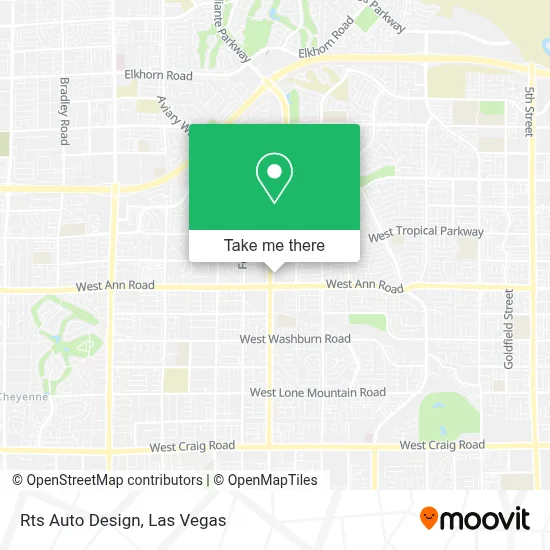
See Rts Auto Design, North Las Vegas, on the map
Public Transit to Rts Auto Design in North Las Vegas
Wondering how to get to Rts Auto Design in North Las Vegas? Moovit helps you find the best way to get to Rts Auto Design with step-by-step directions from the nearest public transit station.
Moovit provides free maps and live directions to help you navigate through your city. View schedules, routes, timetables, and find out how long does it take to get to Rts Auto Design in real time.
Looking for the nearest stop or station to Rts Auto Design? Check out this list of stops closest to your destination: Eb Ann After Coleman; Nb Simmons After El Campo Grande.
Bus: 119, 220.
Want to see if there’s another route that gets you there at an earlier time? Moovit helps you find alternative routes or times. Get directions from and directions to Rts Auto Design easily from the Moovit App or Website.
We make riding to Rts Auto Design easy, which is why over 1.7 million users, including users in North Las Vegas, trust Moovit as the best app for public transit. You don’t need to download an individual bus app or train app, Moovit is your all-in-one transit app that helps you find the best bus time or train time available.
For information on prices of bus, costs and ride fares to Rts Auto Design, please check the Moovit app.
Use the app to navigate to popular places including to the airport, hospital, stadium, grocery store, mall, coffee shop, school, college, and university.
Rts Auto Design Address: 5690 Simmons St street in North Las Vegas
- Las Vegas Nevada,
- Kusina Ni Lorraine,
- EOS Fitness Gym - Aliante,
- Juan's Flaming Fajitas & Cantina,
- Janice Darko, DDS,
- Camino al Norte @ Ann (S),
- Revere St / W Ann Rd,
- Smiths Money Services,
- Aliante Marketplace,
- Store,
- LOTUS Thai Massage,
- Brian And Teri Cram Middle School,
- Antioch Community Services,
- Stay Fresh Water Store,
- Ross Dress for Less,
- WING STOP,
- Walmart Supercenter,
- WinCo Foods,
- Area 51,
- Burlington
Places Near Rts Auto Design (North Las Vegas)
- Zak Bagans Haunted Museum, Las Vegas,
- Allegiant Stadium, Paradise,
- Town Square, Enterprise,
- Walmart Supercenter, Las Vegas,
- Lee Canyon, Las Vegas,
- The Neon Museum, Las Vegas,
- The Palms Casino Resort, Paradise,
- Gold & Silver Pawn Shop, Las Vegas,
- The Deuce Bus Stop at Fremont St, Las Vegas,
- Welcome To Fabulous Las Vegas Sign, Paradise,
- Meow Wolf - Las Vegas (Meow Wolf's Omega Mart), Las Vegas,
- Koolsville Tattoos, Las Vegas,
- Las Vegas North Premium Outlets, Las Vegas,
- Walmart, Las Vegas,
- Omega Mart, Las Vegas,
- Arte Museum Las Vegas, Paradise,
- Las Vegas South Premium Outlets, Enterprise,
- Trump International Hotel Las Vegas, Paradise,
- Area15, Las Vegas,
- Las Vegas Premium Outlets-North, Enterprise
How to get to popular places in Las Vegas with public transit
Get around North Las Vegas by public transit!
Traveling around North Las Vegas has never been so easy. See step by step directions as you travel to any attraction, street or major public transit station. View bus and train schedules, arrival times, service alerts and detailed routes on a map, so you know exactly how to get to anywhere in North Las Vegas.
When traveling to any destination around North Las Vegas use Moovit's Live Directions with Get Off Notifications to know exactly where and how far to walk, how long to wait for your line, and how many stops are left. Moovit will alert you when it's time to get off — no need to constantly re-check whether yours is the next stop.
Wondering how to use public transit in North Las Vegas or how to pay for public transit in North Las Vegas? Moovit public transit app can help you navigate your way with public transit easily, and at minimum cost. It includes public transit fees, ticket prices, and costs. Looking for a map of North Las Vegas public transit lines? Moovit public transit app shows all public transit maps in North Las Vegas with all Bus and Monorail routes and stops on an interactive map.
Las Vegas has 2 transit type(s), including: Bus and Monorail, operated by several transit agencies, including RTCSNV, City of Las Vegas, Alvand Transportation, Vegas Airporter, Las Vegas Monorail, FlixBus-us and Greyhound-us