Rua 10 | QNR 2 stop - Thursday schedule
| Line | Direction | Time |
|---|---|---|
| 0.906 | Rod.P.Piloto (via BR-070 / Estrutural) | 4:25 AM |
| 0.906 | Rod.P.Piloto (via BR-070 / Estrutural) | 4:37 AM |
| 0.385 | Rod.P.Piloto (via EPTG / Eixo Sul) | 4:45 AM |
| 0.906 | Rod.P.Piloto (via BR-070 / Estrutural) | 4:49 AM |
| 343.2 | Rod.P.Piloto (via Estrutural) | 4:55 AM |
| 0.963 | Terminal QNR «» Vista Bela | 5:00 AM |
| 0.556 | |SEMIEXPRESSO| Rod.P.Piloto (via Eixo Sul) | 5:00 AM |
| 0.906 | Rod.P.Piloto (via BR-070 / Estrutural) | 5:01 AM |
| 928.2 | QNQ-QNR / Sol Nascente Tr. 3 / Metrô (Estação Terminal Ceilandia) | 5:03 AM |
| 0.930 | W3 Sul / Rod.P.Piloto (via EPTG) | 5:05 AM |
| 0.346 | Guará I - II / N. Bandeirante (Comercial N. / ParkShopping) | 5:05 AM |
| 333.6 | QNQ-QNR / P2 Norte / Águas Claras (F. Bradesco / Estádio / Tag. Centro-Shopping) | 5:05 AM |
| 0.330 | W3 Norte (EPTG / SIG) | 5:05 AM |
| 0.921 | QNQ-QNR «» W3 Sul (via Leste / SIG / EPTG) | 5:05 AM |
| 0.928 | QNQ-QNR / S. Nascente Tr. 3 / P1 Norte / Ceil. Centro-Sul / HRC / JK Shopping | 5:11 AM |
| 0.906 | Rod.P.Piloto (via BR-070 / Estrutural) | 5:13 AM |
| 928.2 | QNQ-QNR / Sol Nascente Tr. 3 / Metrô (Estação Terminal Ceilandia) | 5:13 AM |
| 260.3 | Santa Maria (Av. Alagados) | 5:15 AM |
| 557.1 | |SEMIEXPRESSO| W3 Sul (via Estádio / SIG) | 5:15 AM |
| 343.2 | Rod.P.Piloto (via Estrutural) | 5:15 AM |
| 0.385 | Rod.P.Piloto (via EPTG / Eixo Sul) | 5:15 AM |
| 0.556 | |SEMIEXPRESSO| Rod.P.Piloto (via Eixo Sul) | 5:15 AM |
| 0.350 | QNQ-QNR / S. Nascente Tr. 3 / Areal (Exp. Setor O / Ceil. Sul-Norte / Pistão Sul) | 5:15 AM |
| 0.921 | QNQ-QNR «» W3 Sul (via Leste / SIG / EPTG) | 5:17 AM |
| 0.963 | Terminal QNR «» Vista Bela | 5:20 AM |
Directions to Rua 10 | QNR 2 stop (Ceilândia) with public transit
The following transit lines have routes that pass near Rua 10 | QNR 2
 Bus: 0.333, 0.956, 260.3, 359.2, 812.1.
- Subway: VERDE.
How to get to Rua 10 | QNR 2 stop by bus?
Click on the bus route to see step by step directions with maps, line arrival times and updated time schedules.
Bus stops near Rua 10 | QNR 2 stop in Ceilândia
- Rua 10 | QI 10 / QNR 2, 2 min walk,
- QNR | DESEMBARQUE, 4 min walk,
- QNR | BRASÍLIA, 5 min walk,
- Rua 10 | QNR 3, 6 min walk,
- Drogaria Fátima | Av. Clare Crockett, 16 min walk,
Subway stations near Rua 10 | QNR 2 station in Ceilândia
- Ceilândia, 41 min walk,
Bus lines to Rua 10 | QNR 2 stop in Ceilândia
- 0.330, QNQ-QNR / S. Nascente Tr. 3 / Ceil. Sul-Norte / EPTG,
- 0.333, QNQ-QNR / P2 Norte (F. Bradesco) / Tag. Centro (Pistão S. / Católica / Tag. Shopping / Estádio),
- 0.346, QNQ-QNR / P2 Norte (Tag. Centro / Samdu N.),
- 0.346, Guará I - II / N. Bandeirante (Comercial N. / ParkShopping),
- 0.350, QNQ-QNR / S. Nascente Tr. 3 / Areal (Exp. Setor O / Ceil. Sul-Norte / Pistão Sul),
- 0.370, L2 Norte - UnB (via Estrutural),
- 0.385, Rod.P.Piloto (via EPTG / Eixo Sul),
- 0.556, |SEMIEXPRESSO| Rod.P.Piloto (via Eixo Sul),
- 0.557, |SEMIEXPRESSO| QNQ-QNR (Ceil. Leste / P2 Norte) / Tag. Centro,
- 0.906, Rod.P.Piloto (via BR-070 / Estrutural),
- 0.913, Cruzeiro / Sudoeste / F. Importados / Rod.P.Piloto (via Estrutural),
- 0.921, QNQ-QNR «» W3 Sul (via Leste / SIG / EPTG),
- 0.928, QNQ-QNR / S. Nascente Tr. 3 / P1 Norte / Ceil. Centro-Sul / HRC / JK Shopping,
- 0.930, W3 Sul / Rod.P.Piloto (via EPTG),
- 0.956, QNQ-QNR / P2 Norte / Ceil. Centro / Vicente Pires (H. Prates / Taguacenter),
- 0.958, QNQ-QNR / Exp. Setor O³ (via Estrutural / Leste Norte),
- 0.963, Terminal QNR «» Vista Bela,
- 260.3, Santa Maria (Av. Alagados),
- 260.4, Pistão Sul (Católica / CSG),
- 332.1, QNQ-QNR / Exp. Setor O³ / Águas Claras (Tag. Shopping / Samdu-Comercial N.),
What are the closest stations to Rua 10 | QNR 2?
The closest stations to Rua 10 | QNR 2 are:
- Rua 10 | QI 10 / QNR 2 stop is 127 meters away, 2 min walk.
- QNR | DESEMBARQUE stop is 250 meters away, 4 min walk.
- QNR | BRASÍLIA stop is 335 meters away, 5 min walk.
- Rua 10 | QNR 3 stop is 406 meters away, 6 min walk.
- Drogaria Fátima | Av. Clare Crockett stop is 1200 meters away, 16 min walk.
- Ceilândia station is 3160 meters away, 41 min walk.
Which bus lines stop near Rua 10 | QNR 2?
These bus lines stop near Rua 10 | QNR 2: 0.333, 0.956, 260.3, 359.2, 812.1.
What’s the nearest bus station to Rua 10 | QNR 2 in Ceilândia?
The nearest bus station to Rua 10 | QNR 2 in Ceilândia is Rua 10 | QI 10 / QNR 2. It’s a 2 min walk away.
What time is the first subway to Rua 10 | QNR 2 in Ceilândia?
The VERDE is the first subway that goes to Rua 10 | QNR 2 in Ceilândia. It stops nearby at 5:30 AM.
What time is the last subway to Rua 10 | QNR 2 in Ceilândia?
The VERDE is the last subway that goes to Rua 10 | QNR 2 in Ceilândia. It stops nearby at 12:19 AM.
What time is the first bus to Rua 10 | QNR 2 in Ceilândia?
The 0.934 is the first bus that goes to Rua 10 | QNR 2 in Ceilândia. It stops nearby at 4:08 AM.
What time is the last bus to Rua 10 | QNR 2 in Ceilândia?
The 0.934 is the last bus that goes to Rua 10 | QNR 2 in Ceilândia. It stops nearby at 2:38 AM.
Rua 10 | QNR 2 station
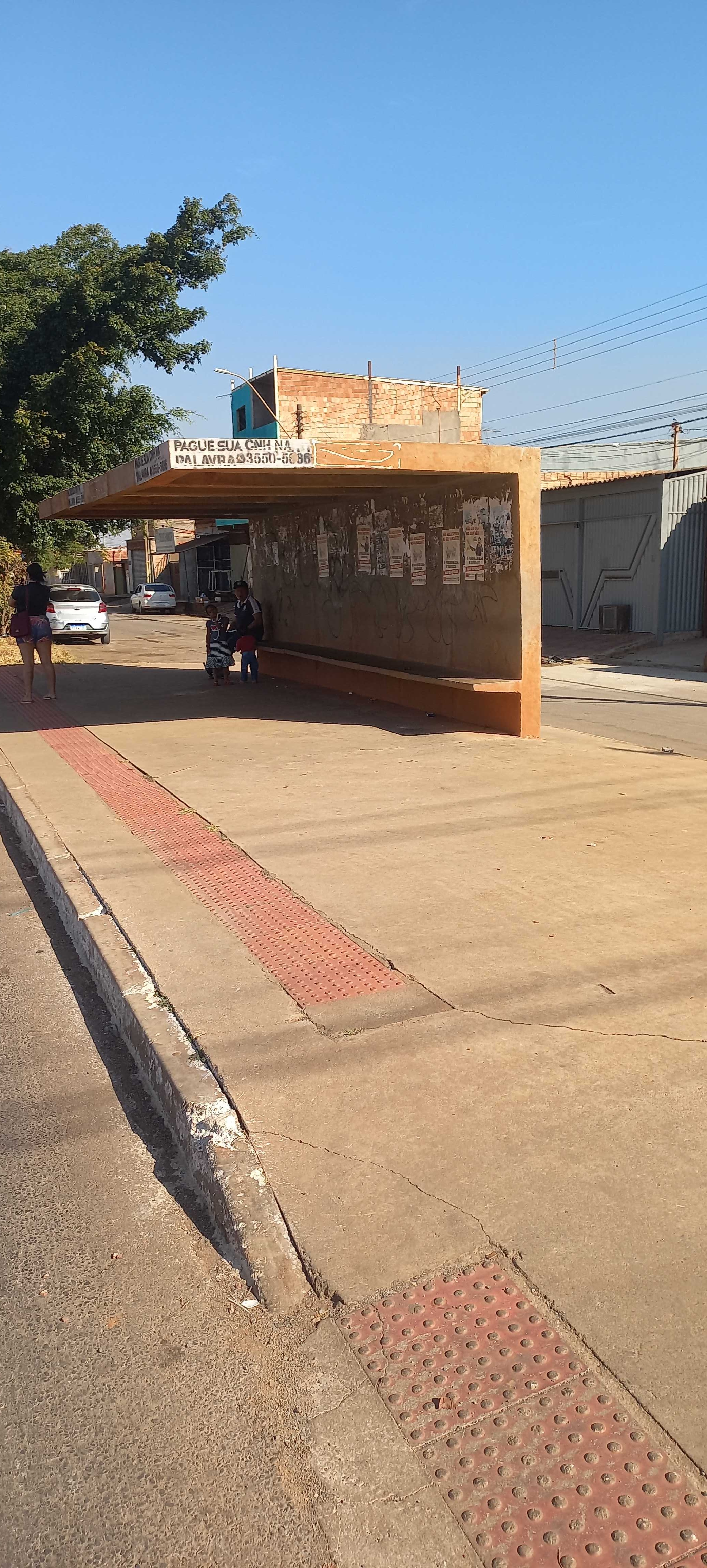 Taken by Anonymous
See Rua 10 | QNR 2 stop, Ceilândia, on the map
Public transit to Rua 10 | QNR 2 stop in Ceilândia
Looking for directions to Rua 10 | QNR 2 in Ceilândia, Brazil?
Download the Moovit App to find the current schedule and step-by-step directions for Bus routes that pass through Rua 10 | QNR 2.
Looking for the nearest stops closest to Rua 10 | QNR 2 ? Check out this list of closest stops to your destination: Rua 10 | QI 10 / QNR 2; QNR | DESEMBARQUE; QNR | BRASÍLIA; Rua 10 | QNR 3; Drogaria Fátima | Av. Clare Crockett; Ceilândia.
Bus: 0.333, 0.956, 260.3, 359.2, 812.1, 0.330, 0.346, 0.346, 0.350, 0.039, 0.041, 0.341, 0.353, 0.957, 334.4, 557.1, 963.1, 0.934, 333.3.Subway: VERDE.
We make riding on public transit to Rua 10 | QNR 2 easy, which is why over 1.7 billion users, including users in Ceilândia trust Moovit as the best app for public transit.
Use the app to navigate to popular places including to the airport, hospital, stadium, grocery store, mall, coffee shop, school, college, and university.
The first line to this stop is 0.906, at 4:25 AM, and the last line is 333.8 at 12:25 AM.
LT 1 Setor R Qnr 2 Cj D, Brasília, Brazil
This stop serves Área 5 - BsBus Mobilidade, Área 3 - Urbi and Área 4 - Marechal’s lines
- Rua 10 | QI 10 / QNR 2,
- QNR | DESEMBARQUE,
- QNR | BRASÍLIA,
- Rua 10 | QNR 3,
- Drogaria Fátima | Av. Clare Crockett
Bus stops near Rua 10 | QNR 2 stop
- Ceilândia
Subway station near Rua 10 | QNR 2 station
- EPDB | Acesso à Ermida Dom Bosco,
- Qr 518,
- Br-020, Km 49 Norte - Entroncamento Vc-107,
- CSG 4 | Garagem Marechal,
- Terminal Do Pinheiro 1,
- Df-483 | Penitenciária Feminino,
- Av. Fund.Bradesco - Qnn 30 (Brasal/Atacadão Dia A Dia),
- Av. Fund.Bradesco - Qnn 30 (Paróquia/Versato),
- Df-150,
- Pistão Sul | Atacadão / Na Hora / Leonardo da Vinci,
- Av. Cedro | Acesso Kanegae / Faz. Sucupira,
- Via N1 | Catedral Militar Rainha da Paz,
- Pistão Norte | Qnd 14 (Escola Classe 18),
- H. Prates | 17ª DP / CEF 12,
- Em Frente A Garagem Da Utb,
- Rod.P.Piloto | Plataformas B / F,
- Av. P3 Sul - Eqnp 26/30,
- Eixo L Sul | SQS 208/209 (COFEN),
- Av. P1 Norte - Eqnp 13/17 (Caprichoso),
- BR-070 | Exp. Setor O / Cond. Privê
Popular public transit stations in Ceilândia
Get around Ceilândia by public transit!
Traveling around Ceilândia has never been so easy. See step by step directions as you travel to any attraction, street or major public transit station. View bus and train schedules, arrival times, service alerts and detailed routes on a map, so you know exactly how to get to anywhere in Ceilândia.
When traveling to any destination around Ceilândia use Moovit's Live Directions with Get Off Notifications to know exactly where and how far to walk, how long to wait for your line, and how many stops are left. Moovit will alert you when it's time to get off — no need to constantly re-check whether yours is the next stop.
Wondering how to use public transit in Ceilândia or how to pay for public transit in Ceilândia? Moovit public transit app can help you navigate your way with public transit easily, and at minimum cost. It includes public transit fees, ticket prices, and costs. Looking for a map of Ceilândia public transit lines? Moovit public transit app shows all public transit maps in Ceilândia with all Bus and Subway routes and stops on an interactive map.
Brasilia Region has 2 transit type(s), including: Bus and Subway, operated by several transit agencies, including Metrô DF, Área 3 - Urbi, Área 2 - Pioneira, Área 1 - Piracicabana, Área 4 - Marechal, Área 5 - BsBus Mobilidade, STPCR - Serviço de Transporte Público Complementar Rural, TCB, Coobrataete, SEMOB - Secretaria de Transporte e Mobilidade do Distrito Federal, Expresso Planalto (MUNICIPAL), Amazônia Inter - (SEMIURBANO), Rede SARAH de Hospitais, Catedral (SEMIURBANO) and CT Expresso (SEMIURBANO)