Rua 10 453-641 stop - Friday schedule
| Line | Direction | Time |
|---|---|---|
| 3004 | BRASÍLIA / ROD.P.PILOTO / VIA EIXO | 4:32 AM |
| 3804 | TAGUATINGA / VIA ESTÁDIO | 4:52 AM |
| 3009 | BRASILIA / ROD.P.PILOTO / VIA PARKSHOPPING | 5:02 AM |
| 3803 | TAGUATINGA / VIA ESTÁDIO | 5:12 AM |
| 3815 | TAGUATINGA / VIA ESTÁDIO | 5:19 AM |
| 3320 | BRASÍLIA / PARKSHOPPING / SMU | 5:23 AM |
| 3075 | BRASÍLIA / W3 SUL/NORTE | 5:25 AM |
| 3004 | BRASÍLIA / ROD.P.PILOTO / VIA EIXO | 5:32 AM |
| 3075 | BRASÍLIA / W3 SUL/NORTE | 5:47 AM |
| 3009 | BRASILIA / ROD.P.PILOTO / VIA PARKSHOPPING | 5:57 AM |
| 3805 | TAGUATINGA / VIA SANDU / QNL-QNJ | 6:02 AM |
| 3321 | BRASÍLIA / SIA TRECHO 2/3 | 6:03 AM |
| 3005 | BRASÍLIA / ÁGUAS CLARAS / GUARÁ | 6:05 AM |
| 3075 | BRASÍLIA / W3 SUL/NORTE | 6:07 AM |
| 3006 | L2 SUL/NORTE / ESPLANADA / NOROESTE | 6:12 AM |
| 3804 | TAGUATINGA / VIA ESTÁDIO | 6:17 AM |
| 3075 | BRASÍLIA / W3 SUL/NORTE | 6:22 AM |
| 3004 | BRASÍLIA / ROD.P.PILOTO / VIA EIXO | 6:32 AM |
| 3050 | BRASÍLIA / ESPLANADA / VIA EIXO SUL | 6:47 AM |
| 3803 | TAGUATINGA / VIA ESTÁDIO | 6:52 AM |
| 3804 | TAGUATINGA / VIA ESTÁDIO | 6:57 AM |
| 3009 | BRASILIA / ROD.P.PILOTO / VIA PARKSHOPPING | 7:17 AM |
| 3804 | TAGUATINGA / VIA ESTÁDIO | 7:42 AM |
| 3004 | BRASÍLIA / ROD.P.PILOTO / VIA EIXO | 8:02 AM |
| 3804 | TAGUATINGA / VIA ESTÁDIO | 8:07 AM |
Directions to Rua 10 453-641 stop (Santo Antônio Do Descoberto) with public transit
The following transit lines have routes that pass near Rua 10 453-641
 Bus: 002, 3004, 3804, 3001, 3002.
How to get to Rua 10 453-641 stop by bus?
Click on the bus route to see step by step directions with maps, line arrival times and updated time schedules.
Bus stops near Rua 10 453-641 stop in Santo Antônio Do Descoberto
- Parada Centro Integrado, 1 min walk,
- Avenida Goiás, 773-927, 8 min walk,
Bus lines to Rua 10 453-641 stop in Santo Antônio Do Descoberto
- 3001, SANTO ANTÔNIO / M. NOBRE / QUEIROZ - BRASÍLIA / ÁGUAS CLARAS / ESTRUTURAL,
- 3002, SANTO ANTÔNIO (ROD. QUEIROZ / VILA SÃO LUIZ) - RODOVIÁRIA DO PLANO PILOTO (VIA EPNB),
- 3004, SANTO ANTÔNIO (VILA SÃO LUIZ) - RODOVIÁRIA DO PLANO PILOTO (VIA EPNB),
- 3005, SANTO ANTÔNIO / VILA SÃO LUIZ - BRASÍLIA / ÁGUAS CLARAS / GUARÁ,
- 3006, SANTO ANTÔNIO / VILA SAO LUIZ - L2 SUL / ESPLANADA,
- 3009, SANTO ANTONIO / VILA SAO LUIZ - RO.P.PILOTO / VIA PARKSHOPPING,
- 3014, SANTO ANTÔNIO / M. NOBRE / QUEIROZ - BRASÍLIA / ÁGUAS CLARAS / GUARÁ,
- 3015, SANTO ANTÔNIO / QUEIROZ / VILA SAO LUIZ - BRASÍLIA / AGUAS CLARAS / SETOR GRAFICO,
- 3018, W3 SUL - SANTO ANTÔNIO (QUEIROZ / M. NOBRE),
- 3020, SANTO ANTÔNIO (M. NOBRE / QUEIROZ) - RODOVIÁRIA DO PLANO PILOTO (VIA EPNB),
- 3021, SANTO ANTÔNIO (M. NOBRE / QUEIROZ / VILA SAO LUIZ) - RODOVIÁRIA DO PLANO PILOTO / EPNB,
- 3050, SANTO ANTÔNIO / VILA SÃO LUIZ - ESPLANADA / EIXO SUL,
- 3051, SANTO ANTÔNIO (QUEIROZ / M. NOBRE) - ESPLANADA,
- 3072, SANTO ANTÔNIO M. NOBRE / QUEIROZ - BRASÍLIA / W3 SUL/NORTE / EIXO NORTE,
- 3075, SANTO ANTÔNIO / VILA SÃO LUIZ - BRASÍLIA / W3 SUL/NORTE / EIXO NORTE,
- 3303, SANTO ANTÔNIO / M. NOBRE / QUEIROZ - SETOR GRAFICO,
- 3304, SANTO ANTÔNIO (JARDIM DE ALA / PARQUE XI / VILA SAO LUIZ) - SETOR GRAFICO,
- 3305, SANTO ANTÔNIO (BEATRIZ / M. NOBRE) - SETOR GRAFICO / W3 NORTE,
- 3306, BRASÍLIA (SETOR GRAFICO) - SANTO ANTÔNIO (QUEIROZ / M. NOBRE),
- 3320, SANTO ANTÔNIO (VILA SAO LUIZ) - PARKSHOPPING / SMU,
What are the closest stations to Rua 10 453-641?
The closest stations to Rua 10 453-641 are:
- Parada Centro Integrado stop is 18 meters away, 1 min walk.
- Avenida Goiás, 773-927 stop is 556 meters away, 8 min walk.
Which bus lines stop near Rua 10 453-641?
These bus lines stop near Rua 10 453-641: 002, 3004, 3804.
What’s the nearest bus station to Rua 10 453-641 in Santo Antônio Do Descoberto?
The nearest bus station to Rua 10 453-641 in Santo Antônio Do Descoberto is Parada Centro Integrado. It’s a 1 min walk away.
What time is the first bus to Rua 10 453-641 in Santo Antônio Do Descoberto?
The 3004 is the first bus that goes to Rua 10 453-641 in Santo Antônio Do Descoberto. It stops nearby at 4:31 AM.
What time is the last bus to Rua 10 453-641 in Santo Antônio Do Descoberto?
The 3021 is the last bus that goes to Rua 10 453-641 in Santo Antônio Do Descoberto. It stops nearby at 1:36 AM.
Rua 10 453-641 station
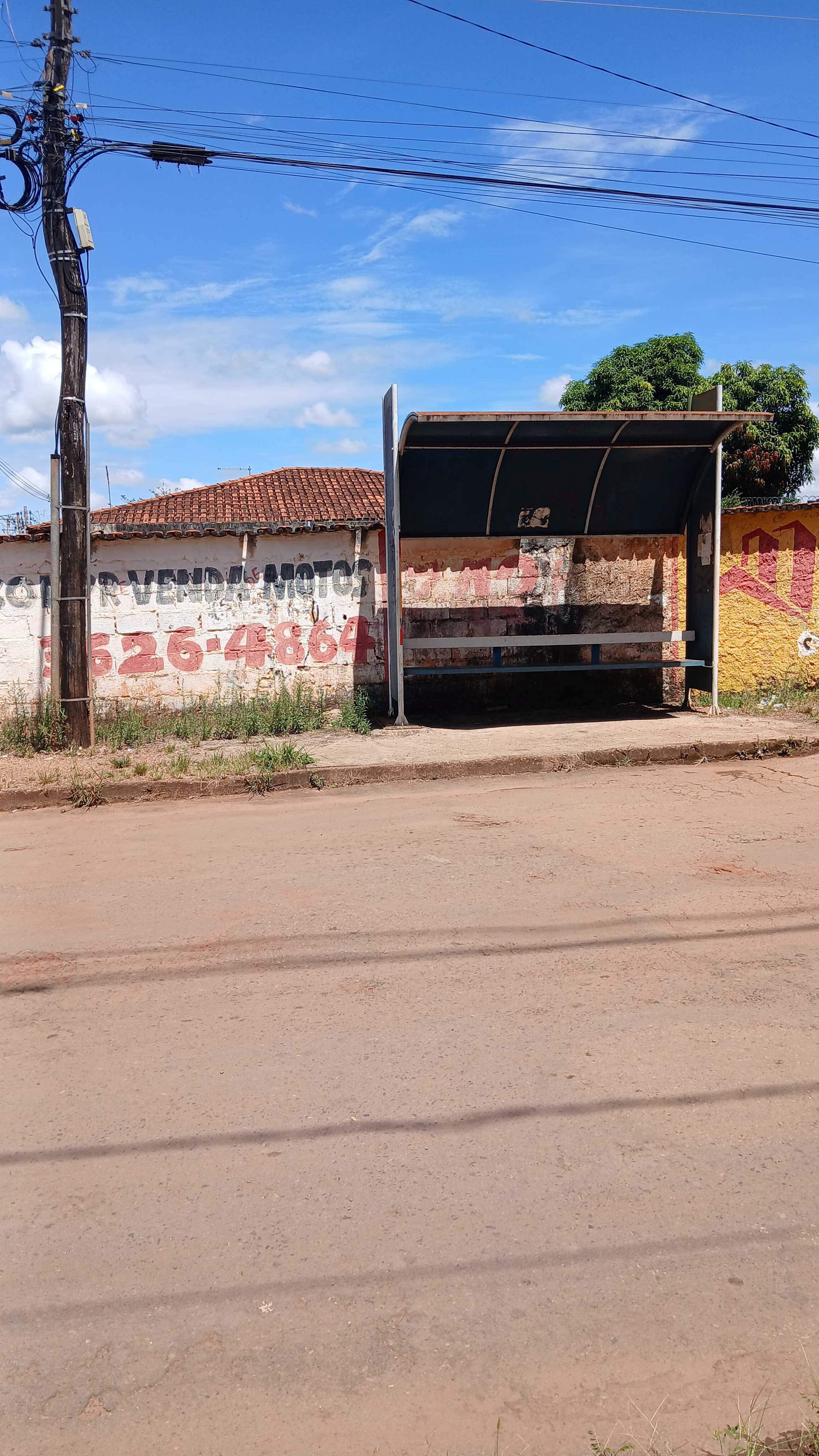 Taken by Anonymous
See Rua 10 453-641 stop, Santo Antônio Do Descoberto, on the map
Public transit to Rua 10 453-641 stop in Santo Antônio Do Descoberto
Looking for directions to Rua 10 453-641 in Santo Antônio Do Descoberto, Brazil?
Download the Moovit App to find the current schedule and step-by-step directions for Bus routes that pass through Rua 10 453-641.
Looking for the nearest stops closest to Rua 10 453-641 ? Check out this list of closest stops to your destination: Parada Centro Integrado; Avenida Goiás.
Bus: 002, 3004, 3804, 3001, 3002, 3005, 3006, 3003, 3007, 3008, 3079, 3080.
We make riding on public transit to Rua 10 453-641 easy, which is why over 1.7 billion users, including users in Santo Antônio Do Descoberto trust Moovit as the best app for public transit.
Use the app to navigate to popular places including to the airport, hospital, stadium, grocery store, mall, coffee shop, school, college, and university.
The first line to this stop is 3004, at 4:32 AM, and the last line is 3804 at 11:02 PM.
This stop serves Taguatur (SEMIURBANO)’s lines
- Parada Centro Integrado,
- Avenida Goiás, 773-927
Bus stops near Rua 10 453-641 stop
- EPNB | ADE (Posto Shell),
- Res. Oeste, Quadra 102,
- SHNC | Cond. Nova Digneia I,
- Pistão Sul | QS 5 (Spoleto / Subway),
- SEE | Coqueiro / Paroquia N. Sra. Aparecida,
- H. Prates | JK Shopping,
- H. Prates | 17ª DP / CEF 12,
- Av. Potiguar | Qd. 205, Conj. 1,
- UnB | Faculdade de Educação / IDA,
- DF-140 | Barreiros, Ponto 3,
- Av. Contorno | Qe 40 (Bob'S),
- Terminal Valparaíso I,
- Qe 42 | Conj. S,
- STRC Tr. 2 | Rohr / Ipanema / Concrecon,
- 108 Sul,
- Vila Telebrasília | Rua 13,
- Df-001 | Lago Oeste, Rua 1,
- Ponte do Bragueto,
- Br-060 Samambaia (Q 519),
- DF-290 | Tatico
Popular public transit stations in Santo Antônio Do Descoberto
Get around Santo Antônio Do Descoberto by public transit!
Traveling around Santo Antônio Do Descoberto has never been so easy. See step by step directions as you travel to any attraction, street or major public transit station. View bus and train schedules, arrival times, service alerts and detailed routes on a map, so you know exactly how to get to anywhere in Santo Antônio Do Descoberto.
When traveling to any destination around Santo Antônio Do Descoberto use Moovit's Live Directions with Get Off Notifications to know exactly where and how far to walk, how long to wait for your line, and how many stops are left. Moovit will alert you when it's time to get off — no need to constantly re-check whether yours is the next stop.
Wondering how to use public transit in Santo Antônio Do Descoberto or how to pay for public transit in Santo Antônio Do Descoberto? Moovit public transit app can help you navigate your way with public transit easily, and at minimum cost. It includes public transit fees, ticket prices, and costs. Looking for a map of Santo Antônio Do Descoberto public transit lines? Moovit public transit app shows all public transit maps in Santo Antônio Do Descoberto with all Bus and Subway routes and stops on an interactive map.
Brasilia Region has 2 transit type(s), including: Bus and Subway, operated by several transit agencies, including Metrô DF, Área 3 - Urbi, Área 2 - Pioneira, Área 1 - Piracicabana, Área 4 - Marechal, Área 5 - BsBus Mobilidade, STPCR - Serviço de Transporte Público Complementar Rural, TCB, Coobrataete, SEMOB - Secretaria de Transporte e Mobilidade do Distrito Federal, Expresso Planalto (MUNICIPAL), Amazônia Inter - (SEMIURBANO), Rede SARAH de Hospitais, Catedral (SEMIURBANO) and CT Expresso (SEMIURBANO)