Rua 13 stop - Friday schedule
| Line | Direction | Time |
|---|---|---|
| 2096 | W3 NORTE / NOROESTE / ESTRUTURAL | 3:47 AM |
| 2091 | ROD.P.PILOTO / VIA EIXO SUL | 3:57 AM |
| 2881 | TAGUATINGA / CATOLICA | 4:07 AM |
| 2890 | AGUAS CLARAS | 4:12 AM |
| 2091 | ROD.P.PILOTO / VIA EIXO SUL | 4:12 AM |
| 2095 | ESPLANADA / ESTRUTURAL | 4:13 AM |
| 2096 | W3 NORTE / NOROESTE / ESTRUTURAL | 4:17 AM |
| 2580 | PISTAO NORTE-SUL / BANDEIRANTE | 4:27 AM |
| 2091 | ROD.P.PILOTO / VIA EIXO SUL | 4:32 AM |
| 2880 | TAG. CENTRO / VIA COMERCIAL NORTE | 4:32 AM |
| 2890 | AGUAS CLARAS | 4:47 AM |
| 2097 | W3-L2 NORTE / ESTRUTURAL | 4:52 AM |
| 2580 | PISTAO NORTE-SUL / BANDEIRANTE | 4:52 AM |
| 2091 | ROD.P.PILOTO / VIA EIXO SUL | 4:52 AM |
| 2881 | TAGUATINGA / CATOLICA | 5:02 AM |
| 2890 | AGUAS CLARAS | 5:06 AM |
| 2091 | ROD.P.PILOTO / VIA EIXO SUL | 5:12 AM |
| 2097 | W3-L2 NORTE / ESTRUTURAL | 5:23 AM |
| 2092 | ROD.P.PILOTO / W3 SUL / JOCKEY | 5:32 AM |
| 2881 | TAGUATINGA / CATOLICA | 5:32 AM |
| 2091 | ROD.P.PILOTO / VIA EIXO SUL | 5:32 AM |
| 2890 | AGUAS CLARAS | 5:41 AM |
| 2580 | PISTAO NORTE-SUL / BANDEIRANTE | 6:02 AM |
| 2091 | ROD.P.PILOTO / VIA EIXO SUL | 6:06 AM |
| 2095 | ESPLANADA / ESTRUTURAL | 6:17 AM |
Directions to Rua 13 stop (Cocalzinho De Goiás) with public transit
The following transit lines have routes that pass near Rua 13
 Bus: 2091, 2880, 2882, 2090, 2092.
How to get to Rua 13 stop by bus?
Click on the bus route to see step by step directions with maps, line arrival times and updated time schedules.
Bus stops near Rua 13 stop in Cocalzinho De Goiás
- Rua Sete, 3 min walk,
- Supermercado Giroforte (Terminal Do Girassol), 10 min walk,
Bus lines to Rua 13 stop in Cocalzinho De Goiás
- 2090, GIRASSOL / VIA ESTRUTURAL,
- 2091, GIRASSOL / VIA EIXO ( Desvio - Bloqueio BR 070 ),
- 2092, ROD.P.PILOTO / W3 SUL / JOCKEY,
- 2095, ESPLANADA / ESTRUTURAL,
- 2096, W3 NORTE / NOROESTE / ESTRUTURAL,
- 2097, W3-L2 NORTE / ESTRUTURAL,
- 2580, PISTAO NORTE-SUL / BANDEIRANTE,
- 2880, GIRASSOL / VIA CEILÂNDIA NORTE,
- 2881, TAGUATINGA / CATOLICA,
- 2882, TAGUATINGA / AGUAS CLARAS,
- 2883, TAG. CENTRO / ROD. TAGUATINGA,
- 2890, AGUAS CLARAS,
- COCALZINHO / EDILANDIA / GIRASSOL, COCALZINHO / EDILANDIA / GIRASSOL,
What are the closest stations to Rua 13?
The closest stations to Rua 13 are:
- Rua Sete stop is 206 meters away, 3 min walk.
- Supermercado Giroforte (Terminal Do Girassol) is 741 meters away, 10 min walk.
Which bus lines stop near Rua 13?
These bus lines stop near Rua 13: 2091, 2880, 2882.
What’s the nearest bus station to Rua 13 in Cocalzinho De Goiás?
The nearest bus station to Rua 13 in Cocalzinho De Goiás is Rua Sete. It’s a 3 min walk away.
What time is the first bus to Rua 13 in Cocalzinho De Goiás?
The 2096 is the first bus that goes to Rua 13 in Cocalzinho De Goiás. It stops nearby at 3:45 AM.
What time is the last bus to Rua 13 in Cocalzinho De Goiás?
The 2880 is the last bus that goes to Rua 13 in Cocalzinho De Goiás. It stops nearby at 1:04 AM.
Rua 13 station
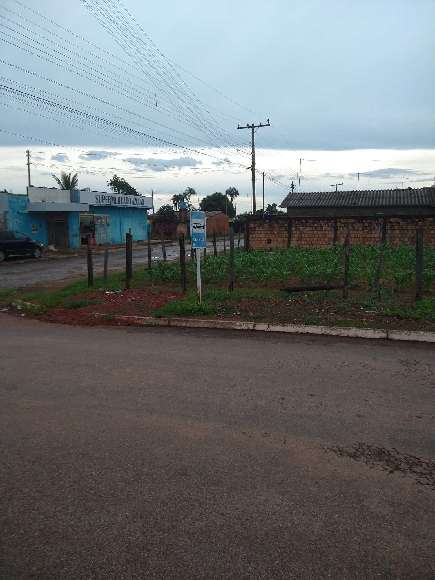 Taken by Anonymous
See Rua 13 stop, Cocalzinho De Goiás, on the map
Public transit to Rua 13 stop in Cocalzinho De Goiás
Looking for directions to Rua 13 in Cocalzinho De Goiás, Brazil?
Download the Moovit App to find the current schedule and step-by-step directions for Bus routes that pass through Rua 13.
Looking for the nearest stops closest to Rua 13 ? Check out this list of closest stops to your destination: Rua Sete; Supermercado Giroforte (Terminal Do Girassol).
Bus: 2091, 2880, 2882, 2090, 2092, 2095, 2096, COCALZINHO / EDILANDIA / GIRASSOL.
We make riding on public transit to Rua 13 easy, which is why over 1.7 billion users, including users in Cocalzinho De Goiás trust Moovit as the best app for public transit.
Use the app to navigate to popular places including to the airport, hospital, stadium, grocery store, mall, coffee shop, school, college, and university.
The first line to this stop is 2096, at 3:47 AM, and the last line is 2880 at 1:00 AM.
1 Rua Treze, Brazil
This stop serves Taguatur (SEMIURBANO)’s lines
- Rua Sete,
- Supermercado Giroforte (Terminal Do Girassol)
Bus stops near Rua 13 stop
- Via Nm3 - Qnp 19/Qno 16 (Praça Da Bíblia),
- Pistão Sul | Universidade Católica / Estácio,
- Av. Leste | Q. 516 (Setor De Mansões Q. 5),
- SHNC | Cond. Nova Digneia III,
- Csg 3,
- BR-251 | Assentamento Recanto da Conquista,
- SAAN | Qd. 1 (CGR Energia / Metier),
- Secretaria de Agricultura,
- DF-180 | Embrapa Hortaliças (Sentido Gama),
- L4 Norte | IBAMA,
- Rod.P.Piloto | Plataforma D (Box 16),
- Padf - Rodovia Júlio Garcia,
- Via Estádio | Rodoviária / Atacadão / DCA II / Estádio,
- BRT Santa Maria | Linhas do Entorno,
- Via L Norte - Eqnl 11/9 (Mineirinho Chopperia),
- Av. Fund.Bradesco - Qnn 18 (Fundação Bradesco),
- Via Leste - Eqnm 6/8 (Paróquia Ressurreição),
- EPPR | Shopping Iguatemi / Big Box,
- 2ª Av. Norte | Qr 404 (Superbom Supermercado),
- Quadra 10 | Gordo Lanches
Popular public transit stations in Cocalzinho De Goiás
Get around Cocalzinho De Goiás by public transit!
Traveling around Cocalzinho De Goiás has never been so easy. See step by step directions as you travel to any attraction, street or major public transit station. View bus and train schedules, arrival times, service alerts and detailed routes on a map, so you know exactly how to get to anywhere in Cocalzinho De Goiás.
When traveling to any destination around Cocalzinho De Goiás use Moovit's Live Directions with Get Off Notifications to know exactly where and how far to walk, how long to wait for your line, and how many stops are left. Moovit will alert you when it's time to get off — no need to constantly re-check whether yours is the next stop.
Wondering how to use public transit in Cocalzinho De Goiás or how to pay for public transit in Cocalzinho De Goiás? Moovit public transit app can help you navigate your way with public transit easily, and at minimum cost. It includes public transit fees, ticket prices, and costs. Looking for a map of Cocalzinho De Goiás public transit lines? Moovit public transit app shows all public transit maps in Cocalzinho De Goiás with all Bus and Subway routes and stops on an interactive map.
Brasilia Region has 2 transit type(s), including: Bus and Subway, operated by several transit agencies, including Metrô DF, Área 3 - Urbi, Área 2 - Pioneira, Área 1 - Piracicabana, Área 4 - Marechal, Área 5 - BsBus Mobilidade, STPCR - Serviço de Transporte Público Complementar Rural, TCB, Coobrataete, SEMOB - Secretaria de Transporte e Mobilidade do Distrito Federal, Expresso Planalto (MUNICIPAL), Amazônia Inter - (SEMIURBANO), Rede SARAH de Hospitais, Catedral (SEMIURBANO) and CT Expresso (SEMIURBANO)