Rua Alagoas 751 stop - Tuesday schedule
| Line | Direction | Time |
|---|---|---|
| 4111 | Dom Cabral (Retorno na Praca do Porto) | 4:12 AM |
| 4111 | Dom Cabral (Retorno na Praca do Porto) | 5:22 AM |
| 4111 | Dom Cabral (Retorno na Praca do Porto) | 5:42 AM |
| 6030 | Cidade Administrativa | 6:03 AM |
| 4111 | Dom Cabral (Atendimento a Escola Guinard) | 6:15 AM |
| 6030 | Cidade Administrativa (Via Andradas) | 6:23 AM |
| 4111 | Dom Cabral | 6:28 AM |
| 6030 | Cidade Administrativa | 6:43 AM |
| 4111 | Dom Cabral (Atendimento a Escola Guinard) | 6:45 AM |
| 6030 | Cidade Administrativa (Via Andradas) | 6:53 AM |
| 4111 | Dom Cabral | 6:58 AM |
| 4111 | Dom Cabral (Atendimento a Escola Guinard) | 7:15 AM |
| 6030 | Cidade Administrativa | 7:18 AM |
| 4111 | Dom Cabral | 7:33 AM |
| 6030 | Cidade Administrativa (Via Andradas) | 7:37 AM |
| 4111 | Dom Cabral | 7:53 AM |
| 6030 | Cidade Administrativa | 7:54 AM |
| 6030 | Cidade Administrativa (Via Andradas) | 8:13 AM |
| 4111 | Dom Cabral (Atendimento a Escola Guinard) | 8:15 AM |
| 6030 | Cidade Administrativa (Via Andradas) | 8:28 AM |
| 4111 | Dom Cabral | 8:33 AM |
| 4111 | Dom Cabral | 8:53 AM |
| 4111 | Dom Cabral (Atendimento a Escola Guinard) | 9:15 AM |
| 4111 | Dom Cabral | 9:33 AM |
| 4111 | Dom Cabral | 9:53 AM |
Directions to Rua Alagoas 751 stop (Belo Horizonte) with public transit
The following transit lines have routes that pass near Rua Alagoas 751
 Bus: 4111, 5107, 9105, 9250, SC04B.
- Train: EFVM.
- Metro: LINHA 1 LARANJA.
How to get to Rua Alagoas 751 stop by bus?
Click on the bus route to see step by step directions with maps, line arrival times and updated time schedules.
How to get to Rua Alagoas 751 stop by metro?
Click on the metro route to see step by step directions with maps, line arrival times and updated time schedules.
Bus stops near Rua Alagoas 751 stop in Belo Horizonte
- Avenida Brasil 2023, 1 min walk,
- Rua Santa Rita Durao 858, 2 min walk,
- Circuito Cultural Praça Da Liberdade 2, 3 min walk,
- Rua Claudio Manoel 865, 4 min walk,
- Circuito Cultural Praça Da Liberdade 1, 4 min walk,
- Avenida Cristóvão Colombo, 629 | Servas, 4 min walk,
- Avenida Cristovao Colombo 666, 5 min walk,
Metro stations near Rua Alagoas 751 station in Belo Horizonte
- Estação Central, 7 min walk,
Train stations near Rua Alagoas 751 station in Belo Horizonte
- Estação Ferroviária de Belo Horizonte - MG, 9 min walk,
Bus lines to Rua Alagoas 751 stop in Belo Horizonte
- SC02A, Santa Efigenia,
- 5104, Suzana (Suzana/Retorno Praca Liberdade),
- 9250, São Geraldo (Partidas Da Avenida Santa Albertina),
- 2101, Grajaú (Noturno),
- 2103, Anchieta,
- 2104, Nova Gameleira (Noturno),
- 2152, Salgado Filho,
- 4032, Caiçara (Desvio Feira da Avenida Afonso Pena),
- 4034, Novo Dom Bosco (Via Novo Dom Bosco e Conjunto Filadelfia),
- 4106, São Cristovao (Desvio Feira da Avenida Afonso Pena),
- 5102, Mineirão (Não atendimento a UFMG),
- 5106, BH Shopping (Atendimento Vila Paquetá),
- 5107, Estação Pampulha,
- 8001A, Santa Inês (Retorno Avenida Senhora do Carmo),
- 8102, União,
- 8106, BH Shopping,
- 8107, São Pedro,
- 8108, Cidade Nova,
- 9103, Santa Tereza,
- 9105, Nova Vista,
What are the closest stations to Rua Alagoas 751?
The closest stations to Rua Alagoas 751 are:
- Avenida Brasil 2023 stop is 55 meters away, 1 min walk.
- Rua Santa Rita Durao 858 stop is 78 meters away, 2 min walk.
- Circuito Cultural Praça Da Liberdade 2 stop is 176 meters away, 3 min walk.
- Rua Claudio Manoel 865 stop is 231 meters away, 4 min walk.
- Circuito Cultural Praça Da Liberdade 1 stop is 272 meters away, 4 min walk.
- Avenida Cristóvão Colombo, 629 | Servas stop is 290 meters away, 4 min walk.
- Avenida Cristovao Colombo 666 stop is 349 meters away, 5 min walk.
- Estação Central station is 489 meters away, 7 min walk.
- Estação Ferroviária de Belo Horizonte - MG station is 650 meters away, 9 min walk.
Which bus lines stop near Rua Alagoas 751?
These bus lines stop near Rua Alagoas 751: 4111, 5107, 9105, 9250, SC04B.
Which metro line stops near Rua Alagoas 751?
LINHA 1 LARANJA (Estação Novo Eldorado ➞ Estação Vilarinho)
What’s the nearest metro station to Rua Alagoas 751 in Belo Horizonte?
The nearest metro station to Rua Alagoas 751 in Belo Horizonte is Estação Central. It’s a 7 min walk away.
What’s the nearest train station to Rua Alagoas 751 in Belo Horizonte?
The nearest train station to Rua Alagoas 751 in Belo Horizonte is Estação Ferroviária de Belo Horizonte - MG. It’s a 9 min walk away.
What’s the nearest bus station to Rua Alagoas 751 in Belo Horizonte?
The nearest bus station to Rua Alagoas 751 in Belo Horizonte is Avenida Brasil 2023. It’s a 1 min walk away.
What time is the first metro to Rua Alagoas 751 in Belo Horizonte?
The LINHA 1 LARANJA is the first metro that goes to Rua Alagoas 751 in Belo Horizonte. It stops nearby at 5:04 AM.
What time is the last metro to Rua Alagoas 751 in Belo Horizonte?
The LINHA 1 LARANJA is the last metro that goes to Rua Alagoas 751 in Belo Horizonte. It stops nearby at 11:32 PM.
What time is the first train to Rua Alagoas 751 in Belo Horizonte?
The EFVM is the first train that goes to Rua Alagoas 751 in Belo Horizonte. It stops nearby at 7:00 AM.
What time is the last train to Rua Alagoas 751 in Belo Horizonte?
The EFVM is the last train that goes to Rua Alagoas 751 in Belo Horizonte. It stops nearby at 2:13 PM.
What time is the first bus to Rua Alagoas 751 in Belo Horizonte?
The 5106 is the first bus that goes to Rua Alagoas 751 in Belo Horizonte. It stops nearby at 3:02 AM.
What time is the last bus to Rua Alagoas 751 in Belo Horizonte?
The 4111 is the last bus that goes to Rua Alagoas 751 in Belo Horizonte. It stops nearby at 2:36 AM.
Rua Alagoas 751 station
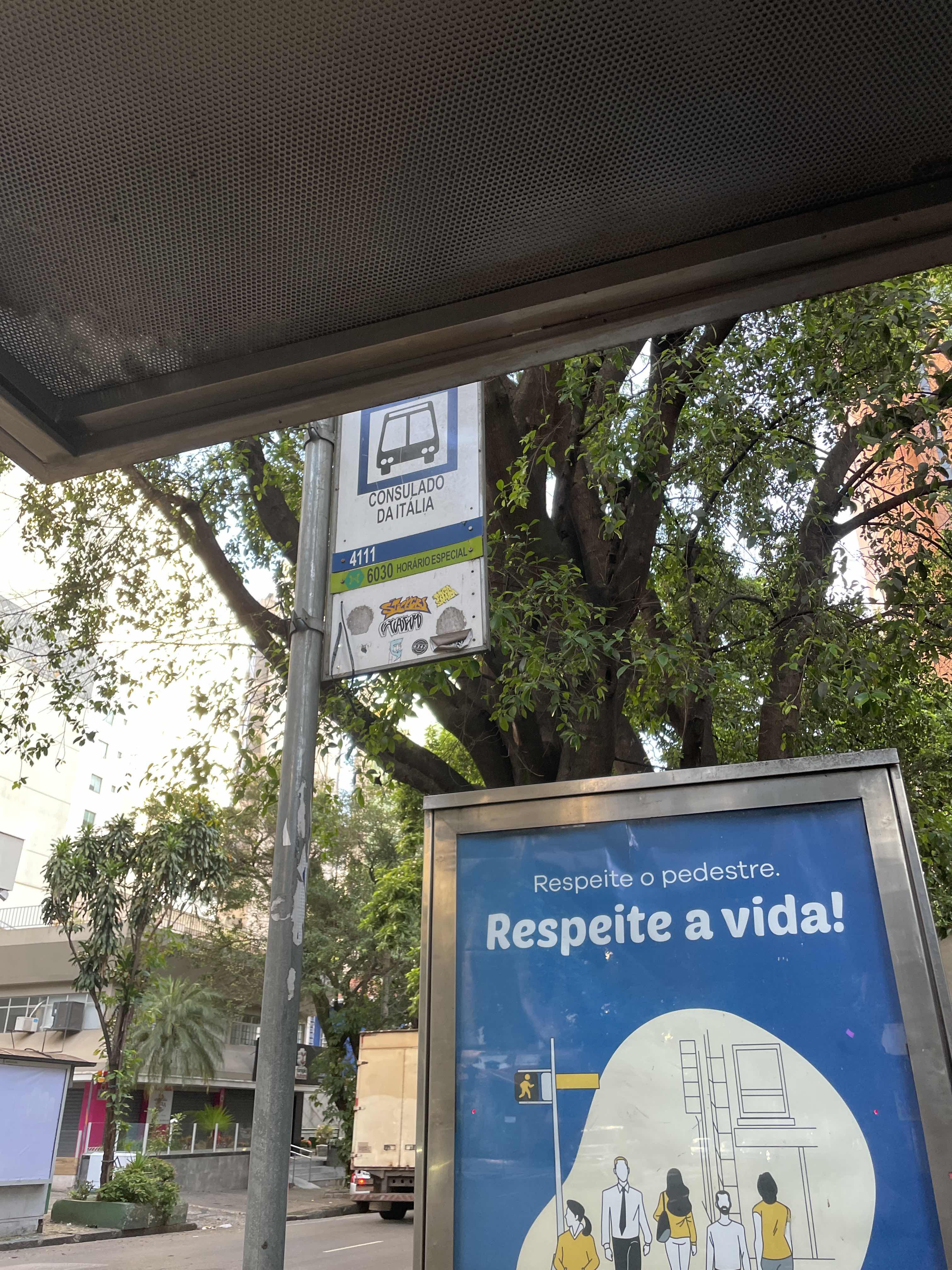 Taken by Anonymous
See Rua Alagoas 751 stop, Belo Horizonte, on the map
Public transit to Rua Alagoas 751 stop in Belo Horizonte
Looking for directions to Rua Alagoas 751 in Belo Horizonte, Brazil?
Download the Moovit App to find the current schedule and step-by-step directions for Bus or Metro routes that pass through Rua Alagoas 751.
Looking for the nearest stops closest to Rua Alagoas 751 ? Check out this list of closest stops to your destination: Avenida Brasil 2023; Rua Santa Rita Durao 858; Circuito Cultural Praça Da Liberdade 2; Rua Claudio Manoel 865; Circuito Cultural Praça Da Liberdade 1; Avenida Cristóvão Colombo; Avenida Cristovao Colombo 666; Estação Central; Estação Ferroviária de Belo Horizonte - MG.
Bus: 4111, 5107, 9105, 9250, SC04B, SC02A, 5104, 2101, 2103, 2104, 2152, 4032, 6030.Train: EFVM.Metro: LINHA 1 LARANJA.
We make riding on public transit to Rua Alagoas 751 easy, which is why over 1.7 billion users, including users in Belo Horizonte trust Moovit as the best app for public transit.
Use the app to navigate to popular places including to the airport, hospital, stadium, grocery store, mall, coffee shop, school, college, and university.
The first line to this stop is 4111, at 4:12 AM, and the last line is 4111 at 2:42 AM.
785 Rua Alagoas, Belo Horizonte, Brazil
This stop serves BHTrans linhas convencionais’s lines
- Avenida Brasil 2023,
- Rua Santa Rita Durao 858,
- Circuito Cultural Praça Da Liberdade 2,
- Rua Claudio Manoel 865,
- Circuito Cultural Praça Da Liberdade 1,
- Avenida Cristóvão Colombo, 629 | Servas,
- Avenida Cristovao Colombo 666
Bus stops near Rua Alagoas 751 stop
- Estação Central
Metro station near Rua Alagoas 751 station
- Estação Ferroviária de Belo Horizonte - MG
Train station near Rua Alagoas 751 station
- Av. Cristiano Machado, 555,
- Br-040, Km 497,8 Sul | Thermas Internacional,
- Br-381 Rodovia Fernão Dias, Km 537,6 Sul | Polícia Rodoviária Federal,
- Estação Lagoinha,
- Rua Renato Feio, 34,
- Br-040, Km 525,7 Sul,
- Estação Serra Verde | Move Metropolitano,
- Av. Prefeito Euro Andrade, 55 | Ubs Cidade De Deus,
- Rua Francisco Silva Padrão, 395,
- Estação Planalto | Move Metropolitano - Sentido Centro,
- Av. Olinto Meireles, 1150 | Umei Barreiro,
- Estação Cristiano Guimarães | Move Metropolitano - Sentido Centro,
- Avenida Padre José Maurício, 305,
- Via Expressa, 6814 | Acesso A Arena Mrv,
- Av. José Faria Da Rocha, 4889,
- Av. João César De Oliveira, 1520 | Cartório Nogueira,
- Av. João César De Oliveira, 307 | Domino's Pizza,
- Ponto Final Do Vale Das Amendoeiras | Embarque,
- Br-040, Km 563,6 Norte | Entr. Br-356 Para Alphaville/Ouro Preto,
- Av. Raquel Teixeira Viana, 648 | Hospital Municipal
Popular public transit stations in Belo Horizonte
Get around Belo Horizonte by public transit!
Traveling around Belo Horizonte has never been so easy. See step by step directions as you travel to any attraction, street or major public transit station. View bus and train schedules, arrival times, service alerts and detailed routes on a map, so you know exactly how to get to anywhere in Belo Horizonte.
When traveling to any destination around Belo Horizonte use Moovit's Live Directions with Get Off Notifications to know exactly where and how far to walk, how long to wait for your line, and how many stops are left. Moovit will alert you when it's time to get off — no need to constantly re-check whether yours is the next stop.
Wondering how to use public transit in Belo Horizonte or how to pay for public transit in Belo Horizonte? Moovit public transit app can help you navigate your way with public transit easily, and at minimum cost. It includes public transit fees, ticket prices, and costs. Looking for a map of Belo Horizonte public transit lines? Moovit public transit app shows all public transit maps in Belo Horizonte with all Bus, Train and Metro routes and stops on an interactive map.
Belo Horizonte Region has 3 transit type(s), including: Bus, Train and Metro, operated by several transit agencies, including Grupo Comporte, BHTrans linhas convencionais, BHTrans Suplementar, Cidade Administrativa de Minas Gerais, Transporte Coletivo Metropolitano de MG - (SEINFRA), Transportadora Abreu & Souza, Viação Santa Edwiges | Linhas Transbetim, Transporte Complementar de Betim, RODAP | Municipais Santa Luzia, ViaOuro Coletivos | Municipais Nova Lima, TURI - Transporte Urbano Rodoviário e Intermunicipal Ltda, Cooperseltta, SIT Neves, Saritur Esmeraldas and CAF Transportes| Municipais Brumadinho