Rua Alexandre Salgado stop - Friday schedule
| Line | Direction | Time |
|---|---|---|
| 0.640 | W3 Norte/Sul | 4:13 AM |
| 0.620 | Rod.P.Piloto (via Eixo Norte) | 4:14 AM |
| 0.620 | Rod.P.Piloto (via Eixo Norte) | 4:28 AM |
| 0.640 | W3 Norte/Sul | 4:33 AM |
| 0.600 | Eixo Norte/Sul | 4:38 AM |
| 0.620 | Rod.P.Piloto (via Eixo Norte) | 4:51 AM |
| 0.640 | W3 Norte/Sul | 4:53 AM |
| 0.600 | Eixo Norte/Sul | 5:04 AM |
| 0.640 | W3 Norte/Sul | 5:11 AM |
| 0.620 | Rod.P.Piloto (via Eixo Norte) | 5:19 AM |
| 0.640 | W3 Norte/Sul | 5:28 AM |
| 0.620 | Rod.P.Piloto (via Eixo Norte) | 5:29 AM |
| 0.624 | Esplanada (via Eixo Norte) | 5:44 AM |
| 0.640 | W3 Norte/Sul | 5:44 AM |
| 0.620 | Rod.P.Piloto (via Eixo Norte) | 5:49 AM |
| 0.640 | W3 Norte/Sul | 6:00 AM |
| 0.624 | Esplanada (via Eixo Norte) | 6:17 AM |
| 0.640 | W3 Norte/Sul | 6:21 AM |
| 0.624 | Esplanada (via Eixo Norte) | 6:46 AM |
| 0.640 | W3 Norte/Sul | 6:47 AM |
| 0.640 | W3 Norte/Sul | 7:13 AM |
| 0.624 | Esplanada (via Eixo Norte) | 7:23 AM |
| 0.600 | Eixo Norte/Sul | 7:43 AM |
| 0.640 | W3 Norte/Sul | 7:44 AM |
| 0.620 | Rod.P.Piloto (via Eixo Norte) | 8:03 AM |
Directions to Rua Alexandre Salgado stop (Planaltina) with public transit
The following transit lines have routes that pass near Rua Alexandre Salgado
 Bus: 0.638, 600.7, 611.1, 620.1, 601.3.
How to get to Rua Alexandre Salgado stop by bus?
Click on the bus route to see step by step directions with maps, line arrival times and updated time schedules.
Bus stops near Rua Alexandre Salgado stop in Planaltina
- Sem nome, 1 min walk,
- Rua Pará Com Av. São Paulo | Setor Tradicional Q. 13, 3 min walk,
- Av. Independência | Inss / Cartório Eleitoral / Caixa, 3 min walk,
- 131 - St. Tradicional Q 18 - Planaltina Brasília - DF 73330-015 Brasil, 4 min walk,
- Av. Independência | Cartório Eleitoral / Inss / Caixa, 5 min walk,
- Av. Independência | Rodoviária / Rezende, 6 min walk,
- Rod. Planaltina | Linhas P/ Plano Piloto, 7 min walk,
Bus lines to Rua Alexandre Salgado stop in Planaltina
- 601.3, Rod. Planaltina / V. Vicentina / Marissol / Horta / V. Fátima (UnB),
- 0.600, Planaltina - Eixo Norte/Sul,
- 0.620, Planaltina - Rodoviária do Plano Piloto (via Eixo Norte),
- 0.624, Planaltina - Esplanada (via Eixo Norte),
- 0.631, |CORUJÃO| Planaltina (Sobradinho I - QD 02 / Total Ville / Estancias) - Eixo Norte/Sul,
- 0.640, Planaltina - W3 Norte/Sul,
- 066.4, |CIRCULAR| Rodoviária de Planaltina / DF-230 / DF-128 / Total Ville,
- 600.6, Planaltina - Sudoeste / Cruzeiro (Palácio do Buriti / SIG),
- 605.2, Planaltina - L2 Norte (UnB) / Rodoviaria do Plano Piloto,
- 0.603, Arapoanga / Planaltina / Sobradinho I (QD 18) - Lago Norte (Hospital SARAH / Clube do Congresso),
- 600.7, Rodoviária de Planaltina - Eixo Norte/Sul,
- 600.8, Rodoviária de Planaltina - L2 Norte/Sul (UnB),
- 601.1, |CIRCULAR| Rodoviária de Planaltina / Buritis IV - III - II / Jardim Roriz / Hospital Regional de Planaltina,
- 604.3, Vale do Amanhecer (Av. Independência) - SIA / SAAN / Park Sul (ParkShopping),
- 620.1, Rodoviária de Planaltina - Rodoviária do Plano Piloto (via Eixo Norte),
- 640.2, Rodoviária de Planaltina - W3 Norte/Sul,
- 1952, Planaltina Go x Planaltina DF (Via Roriz),
- 9901, Plan DF,
- 0.602, Eixo Norte/Sul,
- 064.1, Rod. Planaltina «» Arapoanga / Buritis,
What are the closest stations to Rua Alexandre Salgado?
The closest stations to Rua Alexandre Salgado are:
- Sem nome stop is 23 meters away, 1 min walk.
- Rua Pará Com Av. São Paulo | Setor Tradicional Q. 13 stop is 195 meters away, 3 min walk.
- Av. Independência | Inss / Cartório Eleitoral / Caixa stop is 209 meters away, 3 min walk.
- 131 - St. Tradicional Q 18 - Planaltina Brasília - DF 73330-015 Brasil stop is 212 meters away, 4 min walk.
- Av. Independência | Cartório Eleitoral / Inss / Caixa stop is 311 meters away, 5 min walk.
- Av. Independência | Rodoviária / Rezende stop is 435 meters away, 6 min walk.
- Rod. Planaltina | Linhas P/ Plano Piloto stop is 478 meters away, 7 min walk.
Which bus lines stop near Rua Alexandre Salgado?
These bus lines stop near Rua Alexandre Salgado: 0.638, 600.7, 611.1, 620.1.
What’s the nearest bus station to Rua Alexandre Salgado in Planaltina?
The nearest bus station to Rua Alexandre Salgado in Planaltina is Sem nome. It’s a 1 min walk away.
What time is the first bus to Rua Alexandre Salgado in Planaltina?
The 0.631 is the first bus that goes to Rua Alexandre Salgado in Planaltina. It stops nearby at 3:00 AM.
What time is the last bus to Rua Alexandre Salgado in Planaltina?
The 0.631 is the last bus that goes to Rua Alexandre Salgado in Planaltina. It stops nearby at 3:00 AM.
Rua Alexandre Salgado station
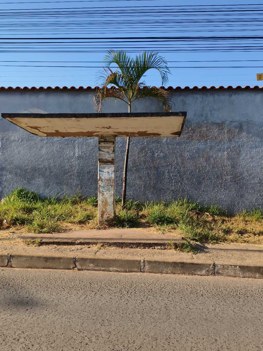 Taken by Anonymous
See Rua Alexandre Salgado stop, Planaltina, on the map
Public transit to Rua Alexandre Salgado stop in Planaltina
Looking for directions to Rua Alexandre Salgado in Planaltina, Brazil?
Download the Moovit App to find the current schedule and step-by-step directions for Bus routes that pass through Rua Alexandre Salgado.
Looking for the nearest stops closest to Rua Alexandre Salgado ? Check out this list of closest stops to your destination: Sem nome; Rua Pará Com Av. São Paulo | Setor Tradicional Q. 13; Av. Independência | Inss / Cartório Eleitoral / Caixa; 131 - St. Tradicional Q 18 - Planaltina Brasília - DF 73330-015 Brasil; Av. Independência | Cartório Eleitoral / Inss / Caixa; Av. Independência | Rodoviária / Rezende; Rod. Planaltina | Linhas P/ Plano Piloto.
Bus: 0.638, 600.7, 611.1, 620.1, 601.3, 0.600, 0.620, 0.624, 0.631, 0.640, 0.603, 600.8, 601.1, 604.3, 1952, 9901, 0.602, 064.1, 066.7, 601.2, 0.611, 625.1, 638.0.
We make riding on public transit to Rua Alexandre Salgado easy, which is why over 1.7 billion users, including users in Planaltina trust Moovit as the best app for public transit.
Use the app to navigate to popular places including to the airport, hospital, stadium, grocery store, mall, coffee shop, school, college, and university.
The first line to this stop is 0.640, at 4:13 AM, and the last line is 0.631 at 1:43 AM.
LT 26 Setor Tradicional Av Sao Paulo Q 18, Núcleo Rural Santos Dumont, Brazil
This stop serves Área 1 - Piracicabana’s lines
- Sem nome,
- Rua Pará Com Av. São Paulo | Setor Tradicional Q. 13,
- Av. Independência | Inss / Cartório Eleitoral / Caixa,
- 131 - St. Tradicional Q 18 - Planaltina Brasília - DF 73330-015 Brasil,
- Av. Independência | Cartório Eleitoral / Inss / Caixa,
- Av. Independência | Rodoviária / Rezende,
- Rod. Planaltina | Linhas P/ Plano Piloto
Bus stops near Rua Alexandre Salgado stop
- Av. Mangueiral | Qd. 06,
- Br 040 L Super Adega/Vemkitem/Havan (Sentido Brasília),
- Jardins Mangueiral, Quadra 15,
- Av. Padre Alessandro Ferloni | Upa Do Gama,
- Padf / Rodovia Julio Garcia,
- Av. Israel Pinheiro | QR 3 (Escola Classe 2),
- Av. Fund.Bradesco - Qnn 30 (Paróquia/Versato),
- SIA Tr. 2 | PETZ,
- Park Way | Qd. 17, Conj. 14 (Resd. Jardim Do Cerrado),
- Hospital da Criança / Hospital de Apoio (Sentido SAAN),
- QS 6 | Conj. 3,
- UnB | Posto de Combustíveis / Subway,
- Em Frente À Garagem Da Utb De Monte Alto,
- Df-483 | Penitenciária Feminino,
- SIA Tr. 2 | 3° Grupamento dos Bombeiros,
- Av. Independência | Atlântida Móveis,
- EPIA | F. Importados / Assaí (DESEMBARQUE),
- Vale Do Amanhecer, Bela Vista,
- Via M5 - Qnm 40 (Ifb),
- EPNB | Texxas Bar
Popular public transit stations in Planaltina
Get around Planaltina by public transit!
Traveling around Planaltina has never been so easy. See step by step directions as you travel to any attraction, street or major public transit station. View bus and train schedules, arrival times, service alerts and detailed routes on a map, so you know exactly how to get to anywhere in Planaltina.
When traveling to any destination around Planaltina use Moovit's Live Directions with Get Off Notifications to know exactly where and how far to walk, how long to wait for your line, and how many stops are left. Moovit will alert you when it's time to get off — no need to constantly re-check whether yours is the next stop.
Wondering how to use public transit in Planaltina or how to pay for public transit in Planaltina? Moovit public transit app can help you navigate your way with public transit easily, and at minimum cost. It includes public transit fees, ticket prices, and costs. Looking for a map of Planaltina public transit lines? Moovit public transit app shows all public transit maps in Planaltina with all Bus and Subway routes and stops on an interactive map.
Brasilia Region has 2 transit type(s), including: Bus and Subway, operated by several transit agencies, including Metrô DF, Área 3 - Urbi, Área 2 - Pioneira, Área 1 - Piracicabana, Área 4 - Marechal, Área 5 - BsBus Mobilidade, STPCR - Serviço de Transporte Público Complementar Rural, TCB, Coobrataete, SEMOB - Secretaria de Transporte e Mobilidade do Distrito Federal, Expresso Planalto (MUNICIPAL), Amazônia Inter - (SEMIURBANO), Rede SARAH de Hospitais, Catedral (SEMIURBANO) and CT Expresso (SEMIURBANO)