How to get to Rua Aniceto Guimarães by bus?
Click on the bus route to see step by step directions with maps, line arrival times and updated time schedules.
From Policlínica Newton Alves Cardozo, Jardim Carioca
74 minFrom Guanabara, São Gonçalo
38 minFrom Rua Dr Mario Viana, Niterói
56 minFrom Rua Doutor Tavares de Macedo, Niterói
40 minFrom Campo de São Bento, Niterói
41 minFrom São Gonçalo, São Gonçalo
40 minFrom Ilha do Governador, Jardim Carioca
72 minFrom Rua Almirante Barroso, Centro
63 minFrom Charitas, Niterói
54 minFrom Cadeia Pública Juíza Patrícia Lourival Acioli, São Gonçalo
39 min
Bus stops near Rua Aniceto Guimarães in São Gonçalo
Bus lines to Rua Aniceto Guimarães in São Gonçalo
What are the closest stations to Rua Aniceto Guimarães?
The closest stations to Rua Aniceto Guimarães are:
- Rua Visconde De Itaúna, 1311 is 353 meters away, 5 min walk.
- Avenida Washignton Luís, 1612 is 425 meters away, 6 min walk.
- Rua Mauá, 552 is 458 meters away, 6 min walk.
- 463518713 is 685 meters away, 9 min walk.
Which bus lines stop near Rua Aniceto Guimarães?
These bus lines stop near Rua Aniceto Guimarães: 1MB10, 4110, 443, 523.
What’s the nearest bus station to Rua Aniceto Guimarães in São Gonçalo?
The nearest bus station to Rua Aniceto Guimarães in São Gonçalo is Rua Visconde De Itaúna, 1311. It’s a 5 min walk away.
What time is the first bus to Rua Aniceto Guimarães in São Gonçalo?
The 536 is the first bus that goes to Rua Aniceto Guimarães in São Gonçalo. It stops nearby at 3:32 AM.
What time is the last bus to Rua Aniceto Guimarães in São Gonçalo?
The 536 is the last bus that goes to Rua Aniceto Guimarães in São Gonçalo. It stops nearby at 2:50 AM.
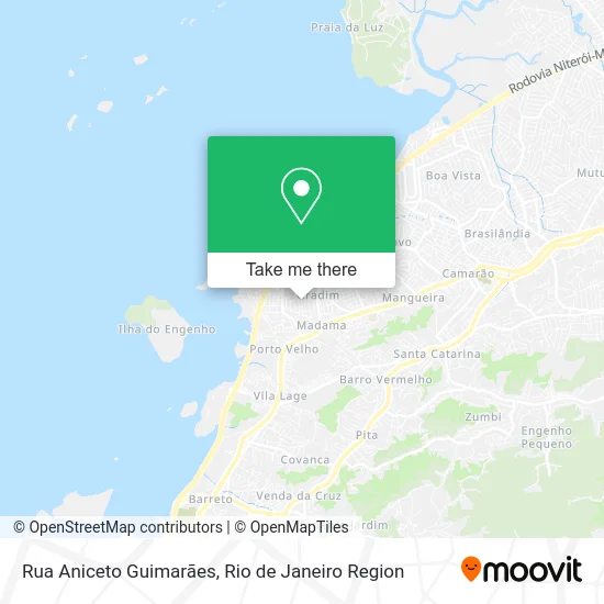
See Rua Aniceto Guimarães, São Gonçalo, on the map
Public Transit to Rua Aniceto Guimarães in São Gonçalo
Wondering how to get to Rua Aniceto Guimarães in São Gonçalo? Moovit helps you find the best way to get to Rua Aniceto Guimarães with step-by-step directions from the nearest public transit station.
Moovit provides free maps and live directions to help you navigate through your city. View schedules, routes, timetables, and find out how long does it take to get to Rua Aniceto Guimarães in real time.
Looking for the nearest stop or station to Rua Aniceto Guimarães? Check out this list of stops closest to your destination: Rua Visconde De Itaúna; Avenida Washignton Luís; Rua Mauá; 463518713.
Bus: 1MB10, 4110, 443, 523, 42, 536, 524, 110, 423, 428, 2110.
Want to see if there’s another route that gets you there at an earlier time? Moovit helps you find alternative routes or times. Get directions from and directions to Rua Aniceto Guimarães easily from the Moovit App or Website.
We make riding to Rua Aniceto Guimarães easy, which is why over 1.5 million users, including users in São Gonçalo, trust Moovit as the best app for public transit. You don’t need to download an individual bus app or train app, Moovit is your all-in-one transit app that helps you find the best bus time or train time available.
For information on prices of bus, costs and ride fares to Rua Aniceto Guimarães, please check the Moovit app.
Use the app to navigate to popular places including to the airport, hospital, stadium, grocery store, mall, coffee shop, school, college, and university.
Rua Aniceto Guimarães Address: Porto da Madame São Gonçalo-RJ street in São Gonçalo
- Paraíso, São Gonçalo - RJ,
- Igreja Cristã Maranata / Gradim,
- Rua Antônio Pedro, 5,
- Rua Capitão Luís Mariano, 4,
- Porto da Madama,
- Rua Visconde de Itauna, S/N,
- Depósito da Marbella,
- consultorio Dilson Drumond,
- Praça Do Gradim,
- Gradim,
- Colégio Estadual Coronel Francisco Lima,
- Porao Rio Confeccoes,
- Igreja Cristã Maranata / Porto Velho,
- Feira Livre do Gradim,
- Faculdades Integradas Maria Thereza,
- Salão do Reino das Testemunhas de Jeová,
- Salão de Festas & Eventos Aqua'Star,
- Rua Ja / Rua Capitão Antônio Inácio Silva,
- Depósito De Bebidas Do Aragão,
- Centro Educacional Azevedo Lima (CEAL)
Places Near Rua Aniceto Guimarães (São Gonçalo)
- Hospital Pedro Ernesto, Vila Isabel,
- Praia do Arpoador, Ipanema,
- Hospital Municipal Ronaldo Gazolla, Acari,
- Rua Licínio Cardoso, São Francisco Xavier,
- Museu Do Amanhã, Centro,
- Avenida Rio Branco, Centro,
- Shopping Rio Sul, Botafogo,
- Rodoviária Novo Rio (Rodoviária do Rio de Janeiro), Santo Cristo,
- Shopping Downtown, Barra Da Tijuca,
- Hospital Federal Do Andaraí, Andaraí,
- Rio De Janeiro,
- Feira Livre da Gloria, Glória,
- Shopping RioSul, Botafogo,
- Shopping Nova América, Del Castilho,
- Hospital Federal Cardoso Fontes, Jacarepaguá,
- Niterói, Niterói,
- Norte Shopping, Cachambi,
- Rua Ulysses Guimarães 16, Cidade Nova,
- Avenida Venezuela 134, Saúde,
- Feirão De Malhas, Duque De Caxias
How to get to popular places in Rio de Janeiro Region with public transit
Get around São Gonçalo by public transit!
Traveling around São Gonçalo has never been so easy. See step by step directions as you travel to any attraction, street or major public transit station. View bus and train schedules, arrival times, service alerts and detailed routes on a map, so you know exactly how to get to anywhere in São Gonçalo.
When traveling to any destination around São Gonçalo use Moovit's Live Directions with Get Off Notifications to know exactly where and how far to walk, how long to wait for your line, and how many stops are left. Moovit will alert you when it's time to get off — no need to constantly re-check whether yours is the next stop.
Wondering how to use public transit in São Gonçalo or how to pay for public transit in São Gonçalo? Moovit public transit app can help you navigate your way with public transit easily, and at minimum cost. It includes public transit fees, ticket prices, and costs. Looking for a map of São Gonçalo public transit lines? Moovit public transit app shows all public transit maps in São Gonçalo with all Bus, Train, Metro, Light Rail, Ferry, Cable Car, Gondola and Funicular routes and stops on an interactive map.
Rio de Janeiro Region has 8 transit type(s), including: Bus, Train, Metro, Light Rail, Ferry, Cable Car, Gondola and Funicular, operated by several transit agencies, including TrensRJ, Metrô Rio, VLT Carioca, Barcas Rio, BRT MOBI-Rio, Auto Viação Alpha, Auto Viação Tijuca, Gire Transportes, Transurb, Viação Nossa Senhora das Graças, Consórcio INTERSUL, Braso Lisboa (Municipal), Caprichosa Auto Ônibus, Auto Viação Três Amigos and Rodoviária Âncora Matias