Rua Augusto Franco 150 stop - Thursday schedule
| Line | Direction | Time |
|---|---|---|
| 644 | São Joao Batista | 4:15 AM |
| 644 | São Joao Batista | 4:45 AM |
| 644 | São Joao Batista | 5:05 AM |
| 644 | São Joao Batista | 5:15 AM |
| 644 | São Joao Batista | 5:27 AM |
| 644 | São Joao Batista | 5:39 AM |
| 644 | São Joao Batista | 5:51 AM |
| 644 | São Joao Batista | 6:03 AM |
| 644 | São Joao Batista | 6:15 AM |
| 644 | São Joao Batista | 6:27 AM |
| 644 | São Joao Batista | 6:39 AM |
| 644 | São Joao Batista | 6:51 AM |
| 644 | São Joao Batista | 7:03 AM |
| 644 | São Joao Batista | 7:15 AM |
| 644 | São Joao Batista | 7:35 AM |
| 644 | São Joao Batista | 7:55 AM |
| 644 | São Joao Batista | 8:15 AM |
| 644 | São Joao Batista | 8:35 AM |
| 644 | São Joao Batista | 8:55 AM |
| 644 | São Joao Batista | 9:15 AM |
| 644 | São Joao Batista | 9:35 AM |
| 644 | São Joao Batista | 9:55 AM |
| 644 | São Joao Batista | 10:15 AM |
| 644 | São Joao Batista | 10:35 AM |
| 644 | São Joao Batista | 10:55 AM |
Directions to Rua Augusto Franco 150 stop (Belo Horizonte) with public transit
The following transit lines have routes that pass near Rua Augusto Franco 150
 Bus: 511C, 518R, 644, 68, 608.
- Metro: LINHA 1 LARANJA.
How to get to Rua Augusto Franco 150 stop by bus?
Click on the bus route to see step by step directions with maps, line arrival times and updated time schedules.
How to get to Rua Augusto Franco 150 stop by metro?
Click on the metro route to see step by step directions with maps, line arrival times and updated time schedules.
Bus stops near Rua Augusto Franco 150 stop in Belo Horizonte
- Rua Doutor Alvaro Camargos 1011, 3 min walk,
- Rua Augusto Franco 410, 4 min walk,
- Rua Joao Samaha 492, 6 min walk,
Metro stations near Rua Augusto Franco 150 station in Belo Horizonte
- Estação Vilarinho, 22 min walk,
Bus lines to Rua Augusto Franco 150 stop in Belo Horizonte
- 608, Venda Nova,
- 644, São João Batista (Noturno - Via Candelária - Partidas Estação Pampulha),
- 617, Piratininga (Noturno),
What are the closest stations to Rua Augusto Franco 150?
The closest stations to Rua Augusto Franco 150 are:
- Rua Doutor Alvaro Camargos 1011 stop is 198 meters away, 3 min walk.
- Rua Augusto Franco 410 stop is 272 meters away, 4 min walk.
- Rua Joao Samaha 492 stop is 404 meters away, 6 min walk.
- Estação Vilarinho station is 1692 meters away, 22 min walk.
Which bus lines stop near Rua Augusto Franco 150?
These bus lines stop near Rua Augusto Franco 150: 511C, 518R, 644, 68.
Which metro line stops near Rua Augusto Franco 150?
LINHA 1 LARANJA (Estação Novo Eldorado ➞ Estação Vilarinho)
What’s the nearest metro station to Rua Augusto Franco 150 in Belo Horizonte?
The nearest metro station to Rua Augusto Franco 150 in Belo Horizonte is Estação Vilarinho. It’s a 22 min walk away.
What’s the nearest bus station to Rua Augusto Franco 150 in Belo Horizonte?
The nearest bus station to Rua Augusto Franco 150 in Belo Horizonte is Rua Doutor Alvaro Camargos 1011. It’s a 3 min walk away.
What time is the first metro to Rua Augusto Franco 150 in Belo Horizonte?
The LINHA 1 LARANJA is the first metro that goes to Rua Augusto Franco 150 in Belo Horizonte. It stops nearby at 4:50 AM.
What time is the last metro to Rua Augusto Franco 150 in Belo Horizonte?
The LINHA 1 LARANJA is the last metro that goes to Rua Augusto Franco 150 in Belo Horizonte. It stops nearby at 11:49 PM.
What time is the first bus to Rua Augusto Franco 150 in Belo Horizonte?
The 644 is the first bus that goes to Rua Augusto Franco 150 in Belo Horizonte. It stops nearby at 3:02 AM.
What time is the last bus to Rua Augusto Franco 150 in Belo Horizonte?
The 617 is the last bus that goes to Rua Augusto Franco 150 in Belo Horizonte. It stops nearby at 2:33 AM.
Rua Augusto Franco 150 station
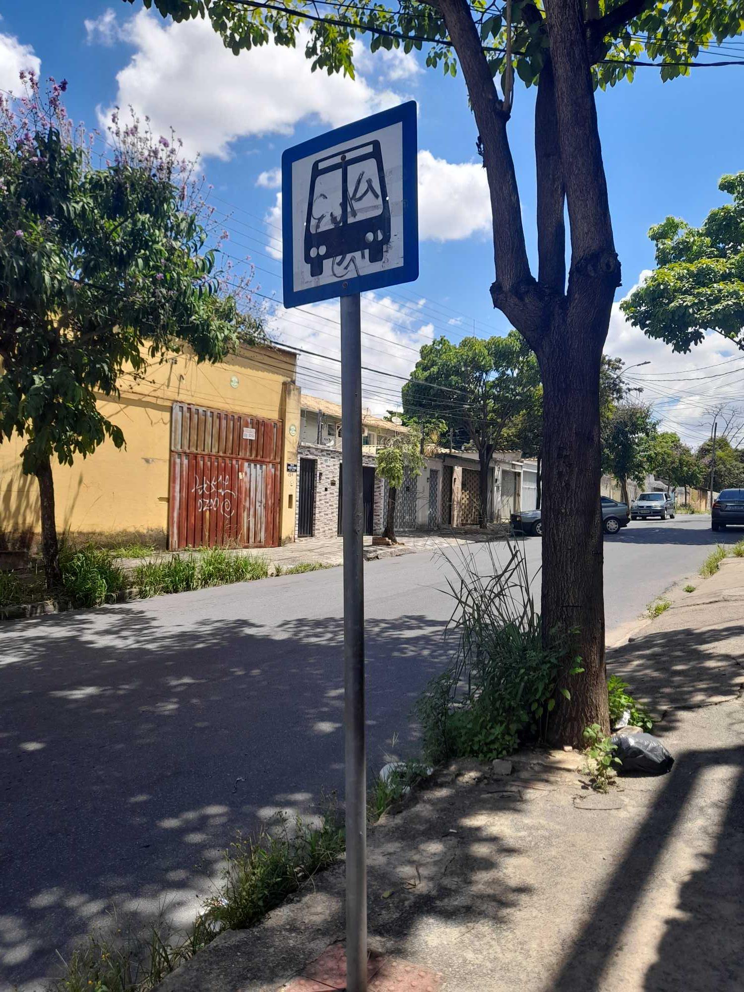 Taken by Isis F.
See Rua Augusto Franco 150 stop, Belo Horizonte, on the map
Public transit to Rua Augusto Franco 150 stop in Belo Horizonte
Looking for directions to Rua Augusto Franco 150 in Belo Horizonte, Brazil?
Download the Moovit App to find the current schedule and step-by-step directions for Bus or Metro routes that pass through Rua Augusto Franco 150.
Looking for the nearest stops closest to Rua Augusto Franco 150 ? Check out this list of closest stops to your destination: Rua Doutor Alvaro Camargos 1011; Rua Augusto Franco 410; Rua Joao Samaha 492; Estação Vilarinho.
Bus: 511C, 518R, 644, 68, 608, 617.Metro: LINHA 1 LARANJA.
We make riding on public transit to Rua Augusto Franco 150 easy, which is why over 1.7 billion users, including users in Belo Horizonte trust Moovit as the best app for public transit.
Use the app to navigate to popular places including to the airport, hospital, stadium, grocery store, mall, coffee shop, school, college, and university.
The first line to this stop is 644, at 4:15 AM, and the last line is 644 at 11:29 PM.
This stop serves BHTrans linhas convencionais’s lines
- Rua Doutor Alvaro Camargos 1011,
- Rua Augusto Franco 410,
- Rua Joao Samaha 492
Bus stops near Rua Augusto Franco 150 stop
- Estação Vilarinho
Metro station near Rua Augusto Franco 150 station
- Av. Do Contorno, 2419 | Estação Santa Efigênia,
- Av. Nélio Cerqueira, 1089 | Cdd Correios - Tirol,
- Av. Brasília, 6145 | Café 3 Corações,
- Mg-424, Km 18 Sul,
- Retiro Do Chalé, Portaria 2,
- Av. Beira-Rio, 2000 | Facsal,
- Br-040, Km 563,6 Norte | Entr. Br-356 Para Alphaville/Ouro Preto,
- Rua Padre Teodoro Grond, 29 | Cooperseltta,
- Br-381 Rodovia Fernão Dias, Km 540 Norte | Santa Terezinha De Minas,
- Estação Vila Oeste,
- Br-040, Km 463,6 Sul,
- Pça. Das Bandeiras, 20 | Ponto Final Da Linha 1900 No Flamengo,
- Av. Che Guevara, 265 | Ponto Final Das Linhas 1730 E 1740,
- Mg-020, Km 11,6 Norte,
- Av. Pau Brasil, 150,
- Mg-010, Km 22,6 Sul,
- Mg-238, Km 28,1 Leste | Acesso Ao 4º Gaaae,
- Rua José Ovídio Guerra, 870,
- Br-381 Rod. Fernão Dias, Km 520,1 Sul | Água Mineral Igarapé,
- Av. Prefeito Euro Andrade, 55 | Ubs Cidade De Deus
Popular public transit stations in Belo Horizonte
Get around Belo Horizonte by public transit!
Traveling around Belo Horizonte has never been so easy. See step by step directions as you travel to any attraction, street or major public transit station. View bus and train schedules, arrival times, service alerts and detailed routes on a map, so you know exactly how to get to anywhere in Belo Horizonte.
When traveling to any destination around Belo Horizonte use Moovit's Live Directions with Get Off Notifications to know exactly where and how far to walk, how long to wait for your line, and how many stops are left. Moovit will alert you when it's time to get off — no need to constantly re-check whether yours is the next stop.
Wondering how to use public transit in Belo Horizonte or how to pay for public transit in Belo Horizonte? Moovit public transit app can help you navigate your way with public transit easily, and at minimum cost. It includes public transit fees, ticket prices, and costs. Looking for a map of Belo Horizonte public transit lines? Moovit public transit app shows all public transit maps in Belo Horizonte with all Bus, Train and Metro routes and stops on an interactive map.
Belo Horizonte Region has 3 transit type(s), including: Bus, Train and Metro, operated by several transit agencies, including Grupo Comporte, BHTrans linhas convencionais, BHTrans Suplementar, Cidade Administrativa de Minas Gerais, Transporte Coletivo Metropolitano de MG - (SEINFRA), Transportadora Abreu & Souza, Viação Santa Edwiges | Linhas Transbetim, Transporte Complementar de Betim, RODAP | Municipais Santa Luzia, ViaOuro Coletivos | Municipais Nova Lima, TURI - Transporte Urbano Rodoviário e Intermunicipal Ltda, Cooperseltta, SIT Neves, Saritur Esmeraldas and CAF Transportes| Municipais Brumadinho