Rua Cheflera 340 stop - Tuesday schedule
| Line | Direction | Time |
|---|---|---|
| 735 | Estação Vilarinho (Noturno) | 3:22 AM |
| 735 | Estação Vilarinho | 4:10 AM |
| 735 | Estação Vilarinho | 4:40 AM |
| 735 | Estação Vilarinho | 4:55 AM |
| 735 | Estação Vilarinho | 5:10 AM |
| 735 | Estação Vilarinho | 5:19 AM |
| 735 | Estação Vilarinho | 5:30 AM |
| 735 | Estação Vilarinho | 5:44 AM |
| 735 | Estação Vilarinho | 5:59 AM |
| 735 | Estação Vilarinho | 6:10 AM |
| 735 | Estação Vilarinho | 6:24 AM |
| 735 | Estação Vilarinho | 6:39 AM |
| 735 | Estação Vilarinho | 6:55 AM |
| 735 | Estação Vilarinho | 7:09 AM |
| 735 | Estação Vilarinho | 7:24 AM |
| 735 | Estação Vilarinho | 7:40 AM |
| 735 | Estação Vilarinho | 7:55 AM |
| 735 | Estação Vilarinho | 8:09 AM |
| 735 | Estação Vilarinho | 8:29 AM |
| 735 | Estação Vilarinho | 8:49 AM |
| 735 | Estação Vilarinho | 9:09 AM |
| 735 | Estação Vilarinho | 9:30 AM |
| 735 | Estação Vilarinho | 9:55 AM |
| 735 | Estação Vilarinho | 10:20 AM |
| 735 | Estação Vilarinho | 10:45 AM |
Directions to Rua Cheflera 340 stop (Belo Horizonte) with public transit
The following transit lines have routes that pass near Rua Cheflera 340
 Bus: 735, S60, 736.
- Metro: LINHA 1 LARANJA.
How to get to Rua Cheflera 340 stop by bus?
Click on the bus route to see step by step directions with maps, line arrival times and updated time schedules.
How to get to Rua Cheflera 340 stop by metro?
Click on the metro route to see step by step directions with maps, line arrival times and updated time schedules.
Bus stops near Rua Cheflera 340 stop in Belo Horizonte
- Rua Botão de Rosa, 22, 1 min walk,
- Rua Cheflera 398, 2 min walk,
- Rua Lirios Do Campo 222, 4 min walk,
Metro stations near Rua Cheflera 340 station in Belo Horizonte
- Estação Waldomiro Lobo, 22 min walk,
Bus lines to Rua Cheflera 340 stop in Belo Horizonte
- S60, Jardim Leblon (Atendimento Ao Bairro Leticia),
- 735, Estação Vilarinho,
- 736, Estação Vilarinho,
What are the closest stations to Rua Cheflera 340?
The closest stations to Rua Cheflera 340 are:
- Rua Botão de Rosa, 22 stop is 55 meters away, 1 min walk.
- Rua Cheflera 398 stop is 145 meters away, 2 min walk.
- Rua Lirios Do Campo 222 stop is 290 meters away, 4 min walk.
- Estação Waldomiro Lobo station is 1732 meters away, 22 min walk.
Which bus lines stop near Rua Cheflera 340?
These bus lines stop near Rua Cheflera 340: 735, S60.
Which metro line stops near Rua Cheflera 340?
LINHA 1 LARANJA (Estação Novo Eldorado ➞ Estação Vilarinho)
What’s the nearest metro station to Rua Cheflera 340 in Belo Horizonte?
The nearest metro station to Rua Cheflera 340 in Belo Horizonte is Estação Waldomiro Lobo. It’s a 22 min walk away.
What’s the nearest bus station to Rua Cheflera 340 in Belo Horizonte?
The nearest bus station to Rua Cheflera 340 in Belo Horizonte is Rua Botão de Rosa, 22. It’s a 1 min walk away.
What time is the first metro to Rua Cheflera 340 in Belo Horizonte?
The LINHA 1 LARANJA is the first metro that goes to Rua Cheflera 340 in Belo Horizonte. It stops nearby at 4:50 AM.
What time is the last metro to Rua Cheflera 340 in Belo Horizonte?
The LINHA 1 LARANJA is the last metro that goes to Rua Cheflera 340 in Belo Horizonte. It stops nearby at 11:49 PM.
What time is the first bus to Rua Cheflera 340 in Belo Horizonte?
The 735 is the first bus that goes to Rua Cheflera 340 in Belo Horizonte. It stops nearby at 3:19 AM.
What time is the last bus to Rua Cheflera 340 in Belo Horizonte?
The 735 is the last bus that goes to Rua Cheflera 340 in Belo Horizonte. It stops nearby at 1:49 AM.
Rua Cheflera 340 station
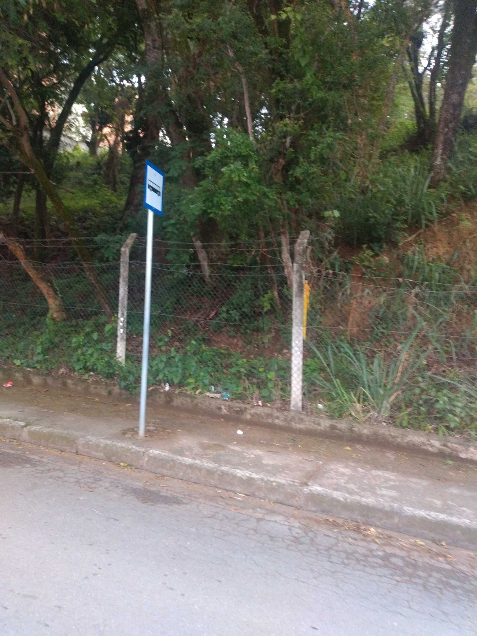 Taken by Shoraya S.
See Rua Cheflera 340 stop, Belo Horizonte, on the map
Public transit to Rua Cheflera 340 stop in Belo Horizonte
Looking for directions to Rua Cheflera 340 in Belo Horizonte, Brazil?
Download the Moovit App to find the current schedule and step-by-step directions for Bus or Metro routes that pass through Rua Cheflera 340.
Looking for the nearest stops closest to Rua Cheflera 340 ? Check out this list of closest stops to your destination: Rua Botão de Rosa; Rua Cheflera 398; Rua Lirios Do Campo 222; Estação Waldomiro Lobo.
Bus: 735, S60, 736.Metro: LINHA 1 LARANJA.
We make riding on public transit to Rua Cheflera 340 easy, which is why over 1.7 billion users, including users in Belo Horizonte trust Moovit as the best app for public transit.
Use the app to navigate to popular places including to the airport, hospital, stadium, grocery store, mall, coffee shop, school, college, and university.
The first line to this stop is 735, at 3:22 AM, and the last line is 735 at 2:42 AM.
This stop serves BHTrans linhas convencionais’s lines
- Rua Botão de Rosa, 22,
- Rua Cheflera 398,
- Rua Lirios Do Campo 222
Bus stops near Rua Cheflera 340 stop
- Estação Waldomiro Lobo
Metro station near Rua Cheflera 340 station
- Passarela Do Partage Shopping Sentido Centro De Betim/Br-381,
- Av. Assis Chateaubriand, 457 | Teatro Alterosa 2,
- Br-040, Km 526,5 Sul | Ceasaminas,
- ("Eucalipto") Passarela de Acesso Ao Centro De Betim (Avenida Jk/Praça Milton Campos),
- Rua Marechal Hermes Da Fonseca, 323,
- Estrada Para Várzea Dos Crioulos | Sentido Bonanza,
- Rua José De Oliveira, 5 | Ponto Final Do Pólo Industrial Bela Fama,
- Mg-030, Km 16,4 Norte,
- Rua Lagoa Da Prata, 979,
- Rua Bom Pastor, 648,
- Mg-030, Km 17,1 Norte,
- Av. José Cândido Da Silveira, 2557,
- Mg-050 Rod. Eng. Maurício Bizzoto, Km 54 Oeste | Distrito Industrial,
- Estr. Para Recanto Da Mata, 450,
- Rua Raimundo Evangelista França, 379,
- Br-381 Rod. Fernão Dias, Km 479,6 Sul | Mcdonald's,
- Av. Barão Homem De Melo, 382,
- Av. Cristiano Machado, 10732 | Apoio Mineiro,
- Av. Babita Camargos, 131 | Praça Dos Trabalhadores Sent. Industrial,
- Br-262 Km-375 | Antes Do Palácio Dos Leilões
Popular public transit stations in Belo Horizonte
Get around Belo Horizonte by public transit!
Traveling around Belo Horizonte has never been so easy. See step by step directions as you travel to any attraction, street or major public transit station. View bus and train schedules, arrival times, service alerts and detailed routes on a map, so you know exactly how to get to anywhere in Belo Horizonte.
When traveling to any destination around Belo Horizonte use Moovit's Live Directions with Get Off Notifications to know exactly where and how far to walk, how long to wait for your line, and how many stops are left. Moovit will alert you when it's time to get off — no need to constantly re-check whether yours is the next stop.
Wondering how to use public transit in Belo Horizonte or how to pay for public transit in Belo Horizonte? Moovit public transit app can help you navigate your way with public transit easily, and at minimum cost. It includes public transit fees, ticket prices, and costs. Looking for a map of Belo Horizonte public transit lines? Moovit public transit app shows all public transit maps in Belo Horizonte with all Bus, Train and Metro routes and stops on an interactive map.
Belo Horizonte Region has 3 transit type(s), including: Bus, Train and Metro, operated by several transit agencies, including Grupo Comporte, BHTrans linhas convencionais, BHTrans Suplementar, Cidade Administrativa de Minas Gerais, Transporte Coletivo Metropolitano de MG - (SEINFRA), Transportadora Abreu & Souza, Viação Santa Edwiges | Linhas Transbetim, Transporte Complementar de Betim, RODAP | Municipais Santa Luzia, ViaOuro Coletivos | Municipais Nova Lima, TURI - Transporte Urbano Rodoviário e Intermunicipal Ltda, Cooperseltta, SIT Neves, Saritur Esmeraldas and CAF Transportes| Municipais Brumadinho