Rua Cotoxó 531 stop - Monday schedule
| Line | Direction | Time |
|---|---|---|
| 478P-10 | Vl. Romana | 5:30 AM |
| 478P-10 | Vl. Romana | 6:02 AM |
| 7272-10 | Pça. Ramos de Azevedo | 6:13 AM |
| 478P-10 | Vl. Romana | 6:34 AM |
| 7272-10 | Pça. Ramos de Azevedo | 6:40 AM |
| 478P-10 | Vl. Romana | 6:54 AM |
| 7272-10 | Pça. Ramos de Azevedo | 7:06 AM |
| 478P-10 | Vl. Romana | 7:19 AM |
| 7272-10 | Pça. Ramos de Azevedo | 7:30 AM |
| 478P-10 | Vl. Romana | 7:45 AM |
| 7272-10 | Pça. Ramos de Azevedo | 7:52 AM |
| 478P-10 | Vl. Romana | 8:11 AM |
| 7272-10 | Pça. Ramos de Azevedo | 8:12 AM |
| 7272-10 | Pça. Ramos de Azevedo | 8:32 AM |
| 478P-10 | Vl. Romana | 8:37 AM |
| 7272-10 | Pça. Ramos de Azevedo | 8:52 AM |
| 478P-10 | Vl. Romana | 9:08 AM |
| 7272-10 | Pça. Ramos de Azevedo | 9:10 AM |
| 7272-10 | Pça. Ramos de Azevedo | 9:28 AM |
| 478P-10 | Vl. Romana | 9:43 AM |
| 7272-10 | Pça. Ramos de Azevedo | 9:46 AM |
| 7272-10 | Pça. Ramos de Azevedo | 10:03 AM |
| 7272-10 | Pça. Ramos de Azevedo | 10:17 AM |
| 478P-10 | Vl. Romana | 10:28 AM |
| 7272-10 | Pça. Ramos de Azevedo | 10:31 AM |
Directions to Rua Cotoxó 531 stop (Perdizes) with public transit
The following transit lines have routes that pass near Rua Cotoxó 531
 Bus: 478P-10, 7272-10, 809U-21, 856R-10, N206-11.
- Metro: LINHA 2, LINHA 3.
- Train: LINHA 7, LINHA 8, LINHA 10, LINHA 11, 13 - JADE.
How to get to Rua Cotoxó 531 stop by bus?
Click on the bus route to see step by step directions with maps, line arrival times and updated time schedules.
How to get to Rua Cotoxó 531 stop by train?
Click on the train route to see step by step directions with maps, line arrival times and updated time schedules.
How to get to Rua Cotoxó 531 stop by metro?
Click on the metro route to see step by step directions with maps, line arrival times and updated time schedules.
Bus stops near Rua Cotoxó 531 stop in Perdizes
- Rua Desembargador do Vale 173, 3 min walk,
- R. Min. Ferreira Alves, 458, 3 min walk,
- Av. Pompeia, 655, 4 min walk,
- R. Tavares Bastos, 472, 6 min walk,
- R. Pe. Chico, 551, 7 min walk,
Metro stations near Rua Cotoxó 531 station in Perdizes
- Vila Madalena, 12 min walk,
- Palmeiras-Barra Funda, 18 min walk,
Train stations near Rua Cotoxó 531 station in Perdizes
- Palmeiras-Barra Funda, 18 min walk,
Bus lines to Rua Cotoxó 531 stop in Perdizes
- 478P-10, Vl. Romana,
- 7272-10, Pça. Ramos de Azevedo,
- N206-11, Metrô Vl. Madalena,
- 809U-10, Cid. Universitária,
- 809U-21, Metrô Vila Madalena,
- 856R-10, Socorro,
- 8252-10, Lapa,
- 199D-10, Conexão Vl. Iório,
- 938P-10, Jardim Tereza - Metrô Barra Funda,
- 938V-10, Jardim Vista Alegre - Metrô Barra Funda,
- 978T-10, Jardim Guarani - Metrô Barra Funda,
What are the closest stations to Rua Cotoxó 531?
The closest stations to Rua Cotoxó 531 are:
- Rua Desembargador do Vale 173 stop is 168 meters away, 3 min walk.
- R. Min. Ferreira Alves, 458 stop is 217 meters away, 3 min walk.
- Av. Pompeia, 655 stop is 272 meters away, 4 min walk.
- R. Tavares Bastos, 472 stop is 452 meters away, 6 min walk.
- R. Pe. Chico, 551 stop is 479 meters away, 7 min walk.
- Vila Madalena station is 886 meters away, 12 min walk.
- Palmeiras-Barra Funda station is 1387 meters away, 18 min walk.
Which bus lines stop near Rua Cotoxó 531?
These bus lines stop near Rua Cotoxó 531: 478P-10, 7272-10, 809U-21, 856R-10.
Which metro lines stop near Rua Cotoxó 531?
These metro lines stop near Rua Cotoxó 531: LINHA 2, LINHA 3.
Which train line stops near Rua Cotoxó 531?
LINHA 7 (Francisco Morato)
What’s the nearest metro station to Rua Cotoxó 531 in Perdizes?
The nearest metro station to Rua Cotoxó 531 in Perdizes is Vila Madalena. It’s a 12 min walk away.
What’s the nearest train station to Rua Cotoxó 531 in Perdizes?
The nearest train station to Rua Cotoxó 531 in Perdizes is Palmeiras-Barra Funda. It’s a 18 min walk away.
What’s the nearest bus station to Rua Cotoxó 531 in Perdizes?
The nearest bus stations to Rua Cotoxó 531 in Perdizes are Rua Desembargador do Vale 173 and R. Min. Ferreira Alves, 458. The closest one is a 3 min walk away.
What time is the first metro to Rua Cotoxó 531 in Perdizes?
The LINHA 2 is the first metro that goes to Rua Cotoxó 531 in Perdizes. It stops nearby at 4:40 AM.
What time is the last metro to Rua Cotoxó 531 in Perdizes?
The LINHA 3 is the last metro that goes to Rua Cotoxó 531 in Perdizes. It stops nearby at 12:51 AM.
What time is the first train to Rua Cotoxó 531 in Perdizes?
The LINHA 7 is the first train that goes to Rua Cotoxó 531 in Perdizes. It stops nearby at 4:00 AM.
What time is the last train to Rua Cotoxó 531 in Perdizes?
The LINHA 11 is the last train that goes to Rua Cotoxó 531 in Perdizes. It stops nearby at 1:05 AM.
What time is the first bus to Rua Cotoxó 531 in Perdizes?
The N206-11 is the first bus that goes to Rua Cotoxó 531 in Perdizes. It stops nearby at 3:06 AM.
What time is the last bus to Rua Cotoxó 531 in Perdizes?
The N206-11 is the last bus that goes to Rua Cotoxó 531 in Perdizes. It stops nearby at 3:16 AM.
Rua Cotoxó 531 station
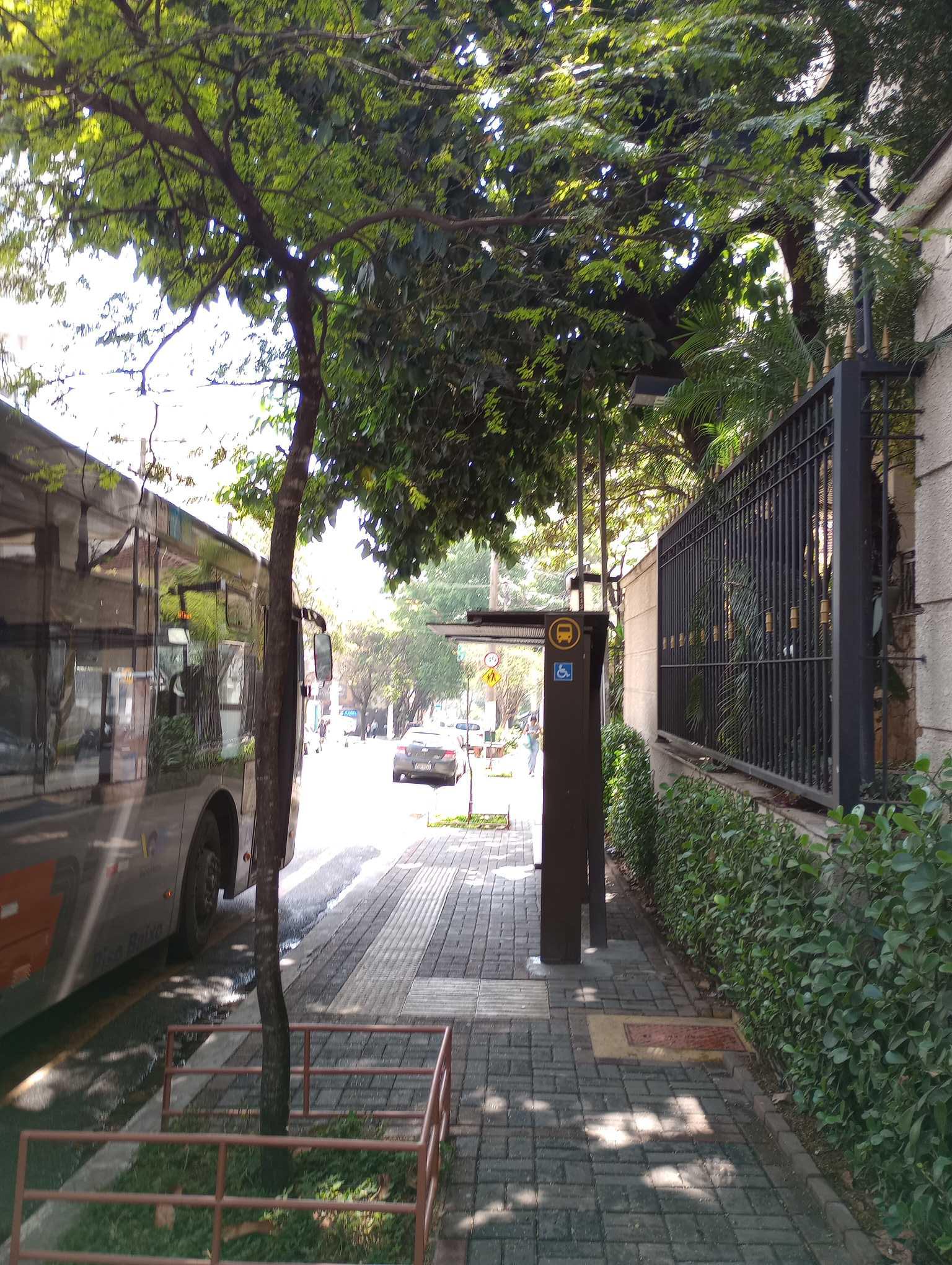 Taken by Anonymous
See Rua Cotoxó 531 stop, Perdizes, on the map
Public transit to Rua Cotoxó 531 stop in Perdizes
Looking for directions to Rua Cotoxó 531 in Perdizes, Brazil?
Download the Moovit App to find the current schedule and step-by-step directions for Bus, Metro or Train routes that pass through Rua Cotoxó 531.
Looking for the nearest stops closest to Rua Cotoxó 531 ? Check out this list of closest stops to your destination: Rua Desembargador do Vale 173; R. Min. Ferreira Alves; Av. Pompeia; R. Tavares Bastos; R. Pe. Chico; Vila Madalena; Palmeiras-Barra Funda.
Bus: 478P-10, 7272-10, 809U-21, 856R-10, N206-11, 809U-10, 8252-10.Metro: LINHA 2, LINHA 3.Train: LINHA 7, LINHA 8, LINHA 10, LINHA 11, 13 - JADE.
We make riding on public transit to Rua Cotoxó 531 easy, which is why over 1.7 billion users, including users in Perdizes trust Moovit as the best app for public transit.
Use the app to navigate to popular places including to the airport, hospital, stadium, grocery store, mall, coffee shop, school, college, and university.
The first line to this stop is 478P-10, at 5:30 AM, and the last line is 478P-10 at 1:23 AM.
Rua Cotoxó, São Paulo, Brazil
This stop serves SPTrans’s lines
- Rua Desembargador do Vale 173,
- R. Min. Ferreira Alves, 458,
- Av. Pompeia, 655,
- R. Tavares Bastos, 472,
- R. Pe. Chico, 551
Bus stops near Rua Cotoxó 531 stop
- Vila Madalena,
- Palmeiras-Barra Funda
Metro stations near Rua Cotoxó 531 station
- Palmeiras-Barra Funda
Train station near Rua Cotoxó 531 station
- Av. Agenor Couto de Magalhães, 310,
- Ponto Final COHAB V,
- Ac. Area de Apoio Bandeirantes,
- Av. Horácio Lafer, 225,
- Av. Prof. Alfonso Bovero, 1157,
- Av. Flamingo, 1489,
- Cidade Jardim,
- Sp-270 Rod. Raposo Tavares, Km 30,7 Oeste,
- Av. Maria Cursi, 1001,
- Av. Paula Ferreira, 2871,
- Parada Periperi (C/B),
- Av. Angélica, 928,
- Terminal Do Jacira,
- Joaquim Nabuco B/C,
- Av. Indianópolis, 1192,
- Av. Lins de Vasconcelos, 205,
- Terminal Metrô Conceição Oeste,
- Av. Inconfidência Mineira, 2050,
- Terminal Vila Carrão
Popular public transit stations in Perdizes
Get around Perdizes by public transit!
Traveling around Perdizes has never been so easy. See step by step directions as you travel to any attraction, street or major public transit station. View bus and train schedules, arrival times, service alerts and detailed routes on a map, so you know exactly how to get to anywhere in Perdizes.
When traveling to any destination around Perdizes use Moovit's Live Directions with Get Off Notifications to know exactly where and how far to walk, how long to wait for your line, and how many stops are left. Moovit will alert you when it's time to get off — no need to constantly re-check whether yours is the next stop.
Wondering how to use public transit in Perdizes or how to pay for public transit in Perdizes? Moovit public transit app can help you navigate your way with public transit easily, and at minimum cost. It includes public transit fees, ticket prices, and costs. Looking for a map of Perdizes public transit lines? Moovit public transit app shows all public transit maps in Perdizes with all Bus, Train, Metro, Light Rail, Ferry, Gondola, Cable Car and Funicular routes and stops on an interactive map.
Sao Paulo Region has 8 transit type(s), including: Bus, Train, Metro, Light Rail, Ferry, Gondola, Cable Car and Funicular, operated by several transit agencies, including SPTrans, CPTM, ViaMobilidade, Aquático SP, SPTRANS, EMTU, ViaQuatro, Auto Ônibus Moratense, GRU Airport (Aeroporto de Guarulhos), Auto Viação Urubupungá (Cajamar), Viação Cometa, Auto Viação Urubupungá (Osasco), Viação Ultra / Rápido Brasil, Auto Viação Urubupungá (Santana de Parnaíba) and Expresso Luxo