Rua Flor D'Agua 735 stop - Tuesday schedule
| Line | Direction | Time |
|---|---|---|
| 3501A | São Marcos | 4:33 AM |
| 3501A | São Marcos (Via Fernao Dias) | 5:03 AM |
| 3501A | São Marcos | 5:23 AM |
| 3501A | São Marcos (Via Fernao Dias) | 5:43 AM |
| 3501A | São Marcos | 6:04 AM |
| 3501A | São Marcos (Via Fernao Dias) | 6:25 AM |
| 3501A | São Marcos | 6:45 AM |
| 3501A | São Marcos (Via Fernao Dias) | 7:04 AM |
| 3501A | São Marcos | 7:24 AM |
| 3501A | São Marcos (Via Fernao Dias) | 7:44 AM |
| 3501A | São Marcos | 8:03 AM |
| 3501A | São Marcos (Via Fernao Dias) | 8:23 AM |
| 3501A | São Marcos | 8:44 AM |
| 3501A | São Marcos (Via Fernao Dias) | 9:04 AM |
| 3501A | São Marcos | 9:33 AM |
| 3501A | São Marcos (Via Fernao Dias) | 10:04 AM |
| 3501A | São Marcos | 10:33 AM |
| 3501A | São Marcos (Via Fernao Dias) | 11:04 AM |
| 3501A | São Marcos | 11:24 AM |
| 3501A | São Marcos (Via Fernao Dias) | 11:44 AM |
| 3501A | São Marcos | 12:03 PM |
| 3501A | São Marcos (Via Fernao Dias) | 12:23 PM |
| 3501A | São Marcos | 12:43 PM |
| 3501A | São Marcos (Via Fernao Dias) | 1:04 PM |
| 3501A | São Marcos | 1:24 PM |
Directions to Rua Flor D'Agua 735 stop (Belo Horizonte) with public transit
The following transit lines have routes that pass near Rua Flor D'Agua 735
 Bus: 3501A, 511, 5033, 506.
- Metro: LINHA 1 LARANJA.
How to get to Rua Flor D'Agua 735 stop by bus?
Click on the bus route to see step by step directions with maps, line arrival times and updated time schedules.
Bus stops near Rua Flor D'Agua 735 stop in Belo Horizonte
- Rua Flor D'Agua 533, 1 min walk,
- Rua Joao Procopio De Carvalho 57, 2 min walk,
- Avenida Presidente Tancredo Neves 2085, 5 min walk,
- Avenida Presidente Tancredo Neves 1561, 7 min walk,
Metro stations near Rua Flor D'Agua 735 station in Belo Horizonte
- Estação Calafate, 19 min walk,
Bus lines to Rua Flor D'Agua 735 stop in Belo Horizonte
- 511, Estação Ponto São José (Via CS Jardim Alvorada),
- 3501A, São Marcos (Noturno),
- 5033, Santa Terezinha,
- 506, Estação Ponto São Jose (Via Castelo),
What are the closest stations to Rua Flor D'Agua 735?
The closest stations to Rua Flor D'Agua 735 are:
- Rua Joao Procopio De Carvalho 57 stop is 21 meters away, 2 min walk.
- Rua Flor D'Agua 533 stop is 40 meters away, 1 min walk.
- Avenida Presidente Tancredo Neves 2085 stop is 304 meters away, 5 min walk.
- Avenida Presidente Tancredo Neves 1561 stop is 471 meters away, 7 min walk.
- Estação Calafate station is 1457 meters away, 19 min walk.
Which bus line stops near Rua Flor D'Agua 735?
3501A (Jardim Alvorada)
What’s the nearest metro station to Rua Flor D'Agua 735 in Belo Horizonte?
The nearest metro station to Rua Flor D'Agua 735 in Belo Horizonte is Estação Calafate. It’s a 19 min walk away.
What’s the nearest bus station to Rua Flor D'Agua 735 in Belo Horizonte?
The nearest bus station to Rua Flor D'Agua 735 in Belo Horizonte is Rua Joao Procopio De Carvalho 57. It’s a 2 min walk away.
What time is the first metro to Rua Flor D'Agua 735 in Belo Horizonte?
The LINHA 1 LARANJA is the first metro that goes to Rua Flor D'Agua 735 in Belo Horizonte. It stops nearby at 4:58 AM.
What time is the last metro to Rua Flor D'Agua 735 in Belo Horizonte?
The LINHA 1 LARANJA is the last metro that goes to Rua Flor D'Agua 735 in Belo Horizonte. It stops nearby at 11:38 PM.
What time is the first bus to Rua Flor D'Agua 735 in Belo Horizonte?
The 3501A is the first bus that goes to Rua Flor D'Agua 735 in Belo Horizonte. It stops nearby at 4:31 AM.
What time is the last bus to Rua Flor D'Agua 735 in Belo Horizonte?
The 3501A is the last bus that goes to Rua Flor D'Agua 735 in Belo Horizonte. It stops nearby at 2:07 AM.
Rua Flor D'Agua 735 station
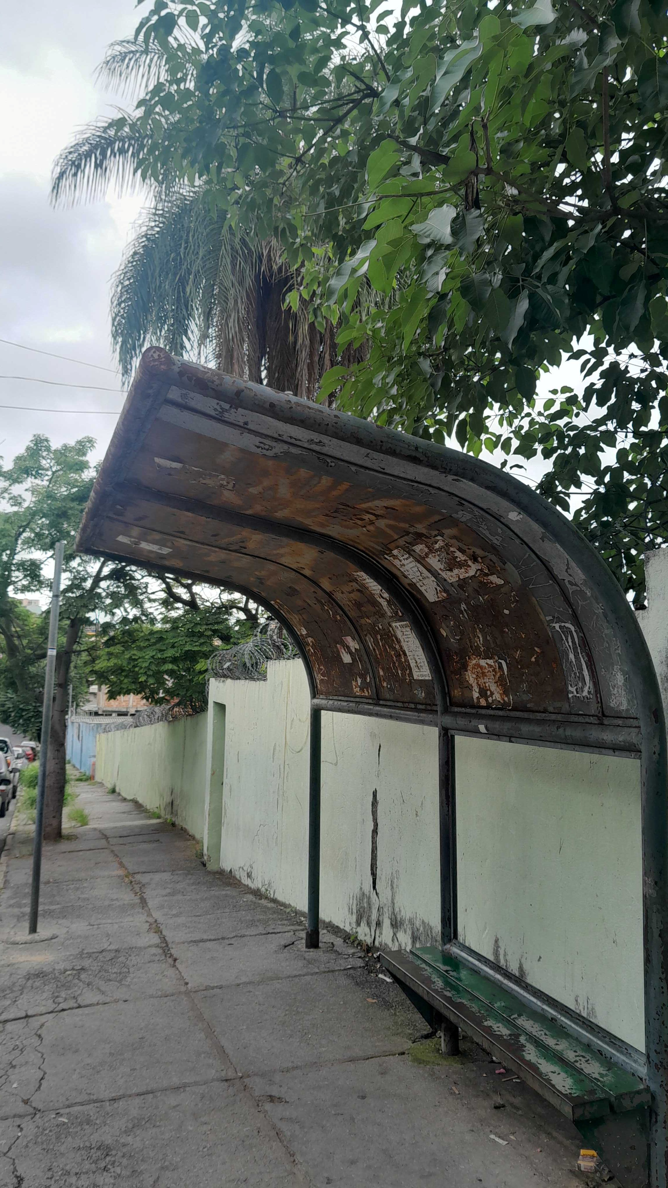 Taken by Anonymous
See Rua Flor D'Agua 735 stop, Belo Horizonte, on the map
Public transit to Rua Flor D'Agua 735 stop in Belo Horizonte
Looking for directions to Rua Flor D'Agua 735 in Belo Horizonte, Brazil?
Download the Moovit App to find the current schedule and step-by-step directions for Bus routes that pass through Rua Flor D'Agua 735.
Looking for the nearest stops closest to Rua Flor D'Agua 735 ? Check out this list of closest stops to your destination: Rua Joao Procopio De Carvalho 57; Rua Flor D'Agua 533; Avenida Presidente Tancredo Neves 2085; Avenida Presidente Tancredo Neves 1561; Estação Calafate.
Bus: 3501A, 511, 5033, 506.Metro: LINHA 1 LARANJA.
We make riding on public transit to Rua Flor D'Agua 735 easy, which is why over 1.7 billion users, including users in Belo Horizonte trust Moovit as the best app for public transit.
Use the app to navigate to popular places including to the airport, hospital, stadium, grocery store, mall, coffee shop, school, college, and university.
The first line to this stop is 3501A, at 4:33 AM, and the last line is 3501A at 2:33 AM.
711 Rua Flor D Agua, Belo Horizonte, Brazil
This stop serves BHTrans linhas convencionais’s lines
- Rua Flor D'Agua 533,
- Rua Joao Procopio De Carvalho 57,
- Avenida Presidente Tancredo Neves 2085,
- Avenida Presidente Tancredo Neves 1561
Bus stops near Rua Flor D'Agua 735 stop
- Estação Calafate
Metro station near Rua Flor D'Agua 735 station
- Br-356, Km 2,6 Sul, 2906 | Super Nosso Gourmet,
- Br-381 Rodovia Fernão Dias, Km 540 Sul | Santa Terezinha De Minas,
- Upa Brumadinho,
- Av. Das Indústrias, 3000 | Megaspace,
- Br-381, Km 439 Norte | Entr. Para Ravena,
- Pça. Cristo Redentor, 27,
- Av. Abílio Machado, 440,
- Mgc-262, Km 302,3 Leste,
- Rua Prof. Moraes, 139 | Transfácil,
- Rua Wilma De Andrade, 297,
- Av. Abílio Machado, 3041 | Feira Minas,
- Estação Rio Nilo | Plataforma C - Sentido Metrô,
- Fecho Do Funil,
- Rua Dos Guaranis, 590 | Casa Do Trabalhador 2,
- Av. Dos Andradas, 1220 | Ministério Da Agricultura,
- Br-381, Km 429,2 Norte | Entr. Mg-435 Para Caeté,
- Br-262 Km-356 | Posto 358,
- Av. Vilarinho, 80 | Embaixo Do Shopping Estação,
- Mg-010 Km 14.3 | Trevo São Benedito,
- Estação Primeiro De Maio
Popular public transit stations in Belo Horizonte
Get around Belo Horizonte by public transit!
Traveling around Belo Horizonte has never been so easy. See step by step directions as you travel to any attraction, street or major public transit station. View bus and train schedules, arrival times, service alerts and detailed routes on a map, so you know exactly how to get to anywhere in Belo Horizonte.
When traveling to any destination around Belo Horizonte use Moovit's Live Directions with Get Off Notifications to know exactly where and how far to walk, how long to wait for your line, and how many stops are left. Moovit will alert you when it's time to get off — no need to constantly re-check whether yours is the next stop.
Wondering how to use public transit in Belo Horizonte or how to pay for public transit in Belo Horizonte? Moovit public transit app can help you navigate your way with public transit easily, and at minimum cost. It includes public transit fees, ticket prices, and costs. Looking for a map of Belo Horizonte public transit lines? Moovit public transit app shows all public transit maps in Belo Horizonte with all Bus, Train and Metro routes and stops on an interactive map.
Belo Horizonte Region has 3 transit type(s), including: Bus, Train and Metro, operated by several transit agencies, including Grupo Comporte, BHTrans linhas convencionais, BHTrans Suplementar, Cidade Administrativa de Minas Gerais, Transporte Coletivo Metropolitano de MG - (SEINFRA), Transportadora Abreu & Souza, Viação Santa Edwiges | Linhas Transbetim, Transporte Complementar de Betim, RODAP | Municipais Santa Luzia, ViaOuro Coletivos | Municipais Nova Lima, TURI - Transporte Urbano Rodoviário e Intermunicipal Ltda, Cooperseltta, SIT Neves, Saritur Esmeraldas and CAF Transportes| Municipais Brumadinho