Rua Itapetininga, 10 stop - Friday schedule
| Line | Direction | Time |
|---|---|---|
| 1371 | Partida Em: Cardoso A ➞ Estação Eldorado (P.I.) | 5:05 AM |
| 1371 | Estação Eldorado ⇄ Cardoso A | 5:31 AM |
| 1371 | Estação Eldorado ⇄ Cardoso A | 6:06 AM |
| 1371 | Estação Eldorado ⇄ Cardoso A | 6:46 AM |
| 1371 | Estação Eldorado ⇄ Cardoso A | 7:46 AM |
| 1371 | Estação Eldorado ⇄ Cardoso A | 4:41 PM |
| 1371 | Estação Eldorado ⇄ Cardoso A | 5:26 PM |
| 1371 | Estação Eldorado ⇄ Cardoso A | 6:31 PM |
| 1371 | Estação Eldorado ⇄ Cardoso A | 7:11 PM |
Directions to Rua Itapetininga, 10 stop (Belo Horizonte) with public transit
The following transit lines have routes that pass near Rua Itapetininga, 10
 Bus: 1381, 328, 327, 3051, 1371.
How to get to Rua Itapetininga, 10 stop by bus?
Click on the bus route to see step by step directions with maps, line arrival times and updated time schedules.
Bus stops near Rua Itapetininga, 10 stop in Belo Horizonte
- Rua Itapetininga, 88, 1 min walk,
- Rua Piratininga, 125, 2 min walk,
- Avenida Ximango 600, 3 min walk,
- Rua Solidariedade, 365, 4 min walk,
- Avenida Ximango, 261, 7 min walk,
Bus lines to Rua Itapetininga, 10 stop in Belo Horizonte
- 328, Estação Barreiro,
- 1381, Industrial Via Lindeia ⇄ Cardoso,
- 327, Estação Barreiro (Via Clube Da Copasa),
- 3051, Flavio Marques Lisboa,
- 1371, Partida Em: Cardoso A ➞ Estação Eldorado (P.I.),
- 320, Segunda Viagem,
What are the closest stations to Rua Itapetininga, 10?
The closest stations to Rua Itapetininga, 10 are:
- Rua Itapetininga, 88 stop is 10 meters away, 1 min walk.
- Rua Piratininga, 125 stop is 69 meters away, 2 min walk.
- Avenida Ximango 600 stop is 219 meters away, 3 min walk.
- Rua Solidariedade, 365 stop is 239 meters away, 4 min walk.
- Avenida Ximango, 261 stop is 460 meters away, 7 min walk.
Which bus lines stop near Rua Itapetininga, 10?
These bus lines stop near Rua Itapetininga, 10: 1381, 328.
What’s the nearest bus station to Rua Itapetininga, 10 in Belo Horizonte?
The nearest bus station to Rua Itapetininga, 10 in Belo Horizonte is Rua Itapetininga, 88. It’s a 1 min walk away.
What time is the first bus to Rua Itapetininga, 10 in Belo Horizonte?
The 327 is the first bus that goes to Rua Itapetininga, 10 in Belo Horizonte. It stops nearby at 3:00 AM.
What time is the last bus to Rua Itapetininga, 10 in Belo Horizonte?
The 327 is the last bus that goes to Rua Itapetininga, 10 in Belo Horizonte. It stops nearby at 2:01 AM.
Rua Itapetininga, 10 station
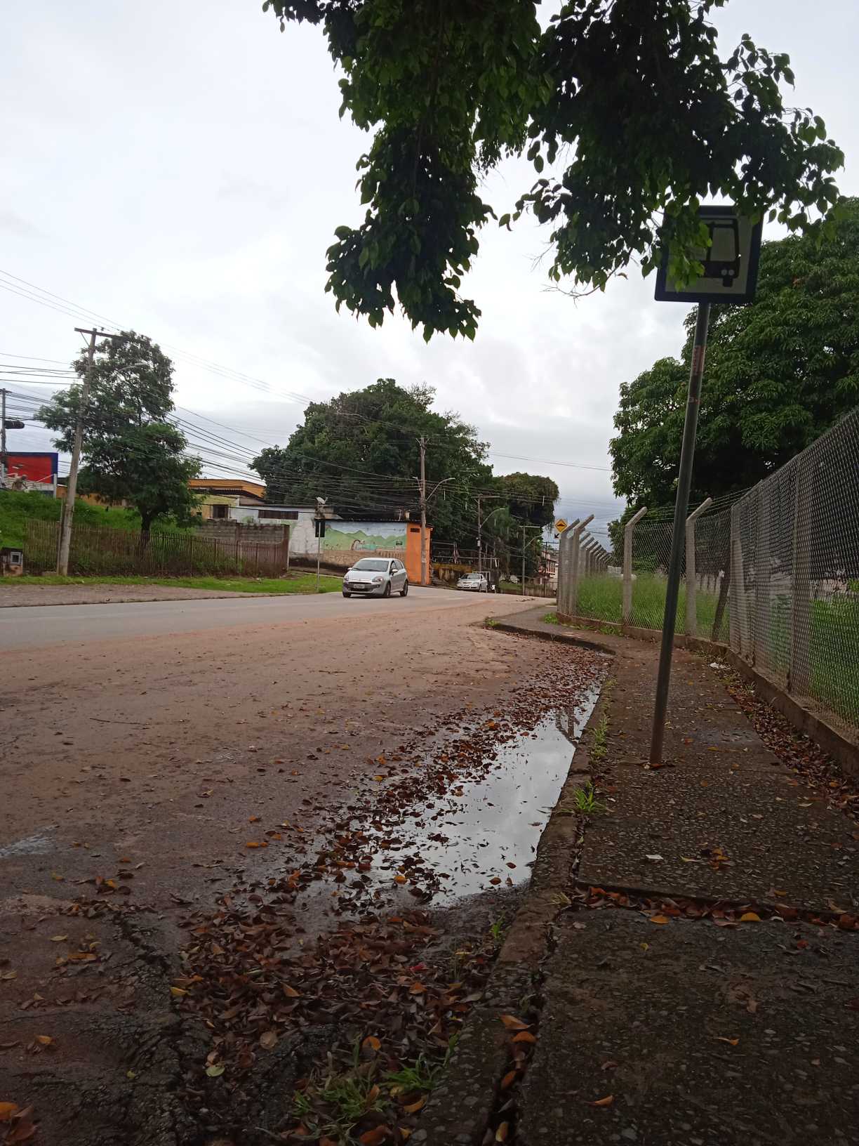 Taken by Anonymous
See Rua Itapetininga, 10 stop, Belo Horizonte, on the map
Public transit to Rua Itapetininga, 10 stop in Belo Horizonte
Looking for directions to Rua Itapetininga, 10 in Belo Horizonte, Brazil?
Download the Moovit App to find the current schedule and step-by-step directions for Bus or Metro routes that pass through Rua Itapetininga, 10.
Looking for the nearest stops closest to Rua Itapetininga, 10 ? Check out this list of closest stops to your destination: Rua Itapetininga; Rua Piratininga; Avenida Ximango 600; Rua Solidariedade; Avenida Ximango.
Bus: 1381, 328, 327, 3051, 1371, 320.
We make riding on public transit to Rua Itapetininga, 10 easy, which is why over 1.7 billion users, including users in Belo Horizonte trust Moovit as the best app for public transit.
Use the app to navigate to popular places including to the airport, hospital, stadium, grocery store, mall, coffee shop, school, college, and university.
The first line to this stop is 1371, at 5:05 AM, and the last line is 1371 at 7:11 PM.
This stop serves Transporte Coletivo Metropolitano de MG - (SEINFRA)’s lines
- Rua Itapetininga, 88,
- Rua Piratininga, 125,
- Avenida Ximango 600,
- Rua Solidariedade, 365,
- Avenida Ximango, 261
Bus stops near Rua Itapetininga, 10 stop
- Rua Do Registro, 32 | Inss,
- Rua Dos Goitacazes, 778 Com Av. Amazonas 2,
- Rua Rio Grande Do Sul, 152 | Shopping Tupinambás 5,
- Br-040, Km 529,9 Sul,
- Mg-030, Km 26,9 Sul | Trevo De Raposos,
- Av. Vilarinho, 1051,
- Rua Tiradentes, 2115 | Csu Amazonas,
- Br-040, Km 501,7 Norte | Vivendas Barbosa,
- Rua Ministro Orozimbo Nonato, 102,
- Lmg-808, Km 15 Norte,
- Via Municipal Vereador Joaquim Costa, 1900,
- Rua Paracatu, 700 | Hospital Vera Cruz,
- Rua Bacharel Otacílio Teotônio Lima, 325 | Ponto Final Da Linha 3851 Em São Joaquim De Bicas,
- Rua Júlio Mesquita, 178 | Supermercado Dia,
- Rua Bernardo Monteiro, 1000,
- Av. Abílio Machado, 3000 | Feira Minas,
- Alameda Dos Rouxinóis, 285 | Ponto Final Da Linha 2250,
- Br-040, Km-532 | Posto Villa Califórnia,
- Rua Curvelo, 102,
- Rua Maria Barôa, 101
Popular public transit stations in Belo Horizonte
Get around Belo Horizonte by public transit!
Traveling around Belo Horizonte has never been so easy. See step by step directions as you travel to any attraction, street or major public transit station. View bus and train schedules, arrival times, service alerts and detailed routes on a map, so you know exactly how to get to anywhere in Belo Horizonte.
When traveling to any destination around Belo Horizonte use Moovit's Live Directions with Get Off Notifications to know exactly where and how far to walk, how long to wait for your line, and how many stops are left. Moovit will alert you when it's time to get off — no need to constantly re-check whether yours is the next stop.
Wondering how to use public transit in Belo Horizonte or how to pay for public transit in Belo Horizonte? Moovit public transit app can help you navigate your way with public transit easily, and at minimum cost. It includes public transit fees, ticket prices, and costs. Looking for a map of Belo Horizonte public transit lines? Moovit public transit app shows all public transit maps in Belo Horizonte with all Bus, Train and Metro routes and stops on an interactive map.
Belo Horizonte Region has 3 transit type(s), including: Bus, Train and Metro, operated by several transit agencies, including Grupo Comporte, BHTrans linhas convencionais, BHTrans Suplementar, Cidade Administrativa de Minas Gerais, Transporte Coletivo Metropolitano de MG - (SEINFRA), Transportadora Abreu & Souza, Viação Santa Edwiges | Linhas Transbetim, Transporte Complementar de Betim, RODAP | Municipais Santa Luzia, ViaOuro Coletivos | Municipais Nova Lima, TURI - Transporte Urbano Rodoviário e Intermunicipal Ltda, Cooperseltta, SIT Neves, Saritur Esmeraldas and CAF Transportes| Municipais Brumadinho