Rua Javarí 55 stop - Saturday schedule
| Line | Direction | Time |
|---|---|---|
| 733 | Terminal Urbano e Rodoviário Pq. Cecap | 3:42 AM |
| 733 | Terminal Urbano e Rodoviário Pq. Cecap | 4:42 AM |
| 733 | Terminal Urbano e Rodoviário Pq. Cecap | 5:47 AM |
| 731 | Terminal Pimentas | 5:56 AM |
| 731 | Terminal Pimentas | 6:12 AM |
| 731 | Terminal Pimentas | 6:26 AM |
| 731 | Terminal Pimentas | 6:41 AM |
| 702 | Estr . do Caminho Velho Esq. Com Rua Bela Vista | 6:51 AM |
| 733 | Terminal Urbano e Rodoviário Pq. Cecap | 6:52 AM |
| 731 | Terminal Pimentas | 6:53 AM |
| 731 | Terminal Pimentas | 7:04 AM |
| 731 | Terminal Pimentas | 7:24 AM |
| 731 | Terminal Pimentas | 7:43 AM |
| 702 | Estr . do Caminho Velho Esq. Com Rua Bela Vista | 7:58 AM |
| 733 | Terminal Urbano e Rodoviário Pq. Cecap | 8:05 AM |
| 731 | Terminal Pimentas | 8:09 AM |
| 731 | Terminal Pimentas | 8:28 AM |
| 731 | Terminal Pimentas | 8:41 AM |
| 702 | Estr . do Caminho Velho Esq. Com Rua Bela Vista | 8:58 AM |
| 731 | Terminal Pimentas | 9:00 AM |
| 733 | Terminal Urbano e Rodoviário Pq. Cecap | 9:10 AM |
| 731 | Terminal Pimentas | 9:20 AM |
| 731 | Terminal Pimentas | 9:35 AM |
| 731 | Terminal Pimentas | 9:55 AM |
| 702 | Estr . do Caminho Velho Esq. Com Rua Bela Vista | 9:58 AM |
Directions to Rua Javarí 55 stop (Guarulhos) with public transit
The following transit lines have routes that pass near Rua Javarí 55
 Bus: 252, 292, 702, 731, 849.
How to get to Rua Javarí 55 stop by bus?
Click on the bus route to see step by step directions with maps, line arrival times and updated time schedules.
Bus stops near Rua Javarí 55 stop in Guarulhos
- R. Mirapiranga, 59 - Parque Jurema, Guarulhos, 2 min walk,
- Avenida Jurema, 327, 2 min walk,
- Av. Jurema, 246a - Parque Jurema, Guarulhos, 3 min walk,
- Avenida Jurema, 252, 4 min walk,
Bus lines to Rua Javarí 55 stop in Guarulhos
- 252, Sao Paulo (Metro Carrao),
- 292, Sao Paulo (Metro Armenia),
- 521, Guarulhos (Jardim Angelica),
- 849, Sao Paulo (Estacao CPTM Sao Miguel Paulista),
- 292DV1, Guarulhos (Jardim Angelica),
- 600, Rua Kari,
- N631, Rua Imperial,
- 682, Terminal Pimentas,
- 732, Av. Monteiro Lobato, Altura do N. 339,
- 733, Estr . do Caminho Velho Esq. Com Rua Bela Vista,
- 702, Estr . do Caminho Velho Esq. Com Rua Bela Vista,
- 731, Terminal Pimentas,
What are the closest stations to Rua Javarí 55?
The closest stations to Rua Javarí 55 are:
- R. Mirapiranga, 59 - Parque Jurema, Guarulhos is 95 meters away, 2 min walk.
- Avenida Jurema, 327 is 112 meters away, 2 min walk.
- Av. Jurema, 246a - Parque Jurema, Guarulhos is 217 meters away, 3 min walk.
- Avenida Jurema, 252 is 219 meters away, 4 min walk.
Which bus lines stop near Rua Javarí 55?
These bus lines stop near Rua Javarí 55: 252, 292, 702, 731, 849.
What’s the nearest bus station to Rua Javarí 55 in Guarulhos?
The nearest bus stations to Rua Javarí 55 in Guarulhos are R. Mirapiranga, 59 - Parque Jurema, Guarulhos and Avenida Jurema, 327. The closest one is a 2 min walk away.
What time is the first bus to Rua Javarí 55 in Guarulhos?
The N631 is the first bus that goes to Rua Javarí 55 in Guarulhos. It stops nearby at 3:35 AM.
What time is the last bus to Rua Javarí 55 in Guarulhos?
The N631 is the last bus that goes to Rua Javarí 55 in Guarulhos. It stops nearby at 4:01 AM.
Rua Javarí 55 station
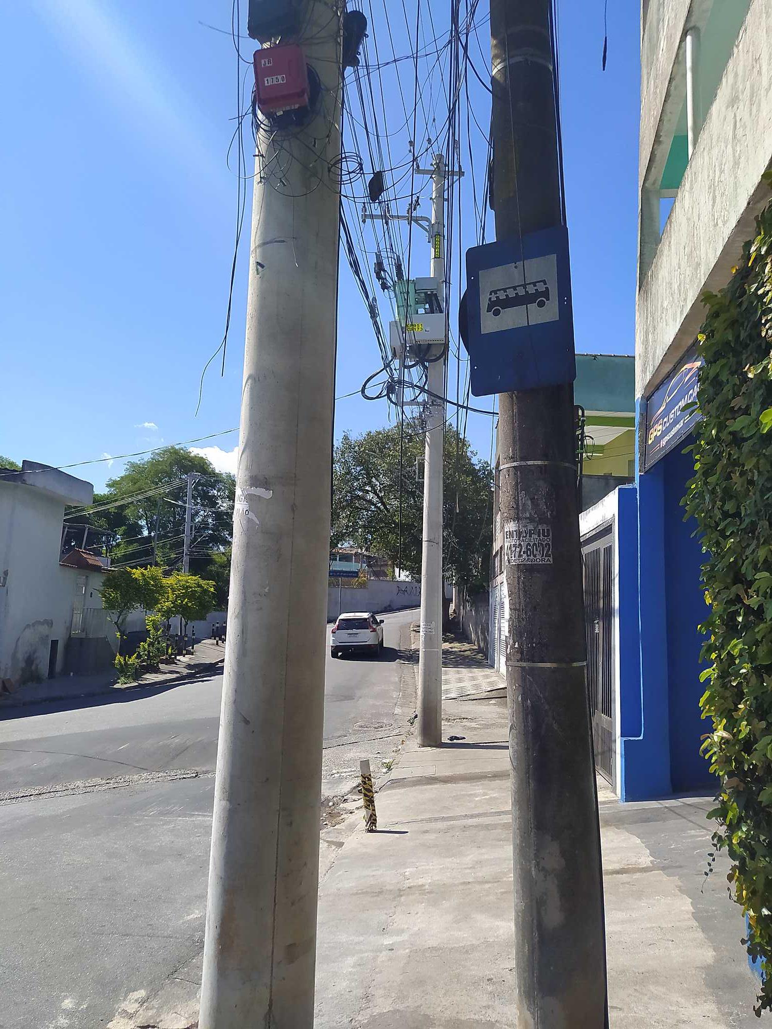 Taken by Anonymous
See Rua Javarí 55 stop, Guarulhos, on the map
Public transit to Rua Javarí 55 stop in Guarulhos
Looking for directions to Rua Javarí 55 in Guarulhos, Brazil?
Download the Moovit App to find the current schedule and step-by-step directions for Bus or Train routes that pass through Rua Javarí 55.
Looking for the nearest stops closest to Rua Javarí 55 ? Check out this list of closest stops to your destination: R. Mirapiranga; Avenida Jurema; Av. Jurema; Avenida Jurema.
Bus: 252, 292, 702, 731, 849, 521, 292DV1, 600, N631, 682, 732, 733.
We make riding on public transit to Rua Javarí 55 easy, which is why over 1.5 million users, including users in Guarulhos trust Moovit as the best app for public transit.
Use the app to navigate to popular places including to the airport, hospital, stadium, grocery store, mall, coffee shop, school, college, and university.
The first line to this stop is 733, at 3:42 AM, and the last line is 731 at 1:57 AM.
This stop serves STT - Secretaria de Transportes e Trânsito de Guarulhos’s lines
- R. Mirapiranga, 59 - Parque Jurema, Guarulhos,
- Avenida Jurema, 327,
- Av. Jurema, 246a - Parque Jurema, Guarulhos,
- Avenida Jurema, 252
Bus stops near Rua Javarí 55 stop
- R. Francisco Lotufo, 24,
- Terminal Metropolitano Piraporinha,
- Terminal Metrô Tucuruvi 3,
- Domingos De Moraes,
- R. Bailique,
- Av. Washington Luiz, 1277,
- Ac. Ao Viaduto Dona Paulina,
- Terminal Amaral Gurgel,
- Av. Com. Sant'Anna, 524,
- Santa Rita,
- Terminal Varginha,
- Villa Lobos-Jaguaré,
- Av. Eng. Caetano Alvares, 4244,
- Piratininga,
- R. Maria Paula, 53,
- Estrada do M'Boi Mirim, 977,
- Parada 1/2/3 - Hospital Cristo Rei,
- Av. Bosque da Saúde, 146,
- Juventus-Mooca,
- Avenida Octalles Marcondes Ferreira
Popular public transit stations in Guarulhos
Get around Guarulhos by public transit!
Traveling around Guarulhos has never been so easy. See step by step directions as you travel to any attraction, street or major public transit station. View bus and train schedules, arrival times, service alerts and detailed routes on a map, so you know exactly how to get to anywhere in Guarulhos.
When traveling to any destination around Guarulhos use Moovit's Live Directions with Get Off Notifications to know exactly where and how far to walk, how long to wait for your line, and how many stops are left. Moovit will alert you when it's time to get off — no need to constantly re-check whether yours is the next stop.
Wondering how to use public transit in Guarulhos or how to pay for public transit in Guarulhos? Moovit public transit app can help you navigate your way with public transit easily, and at minimum cost. It includes public transit fees, ticket prices, and costs. Looking for a map of Guarulhos public transit lines? Moovit public transit app shows all public transit maps in Guarulhos with all Bus, Train, Metro, Light Rail, Ferry, Gondola, Cable Car and Funicular routes and stops on an interactive map.
Sao Paulo Region has 8 transit type(s), including: Bus, Train, Metro, Light Rail, Ferry, Gondola, Cable Car and Funicular, operated by several transit agencies, including Metrô de São Paulo, ViaQuatro, ViaMobilidade, CPTM, Aquático SP, SPTrans, EMTU, Auto Ônibus Moratense, GRU Airport (Aeroporto de Guarulhos), Auto Viação Urubupungá (Cajamar), Viação Cometa, Auto Viação Urubupungá (Osasco), Viação Ultra / Rápido Brasil, Auto Viação Urubupungá (Santana de Parnaíba) and Expresso Luxo