Rua Marco Giannini 234 stop - Tuesday schedule
| Line | Direction | Time |
|---|---|---|
| N842-11 | COHAB Raposo Tavares | 3:56 AM |
| N842-11 | COHAB Raposo Tavares | 4:56 AM |
| N842-11 | COHAB Raposo Tavares | 12:56 AM |
| N842-11 | COHAB Raposo Tavares | 1:56 AM |
| N842-11 | COHAB Raposo Tavares | 2:56 AM |
Directions to Rua Marco Giannini 234 stop (Raposo Tavares) with public transit
The following transit lines have routes that pass near Rua Marco Giannini 234
 Bus: 213, 490, 748A-10, 809A-10, N842-11.
How to get to Rua Marco Giannini 234 stop by bus?
Click on the bus route to see step by step directions with maps, line arrival times and updated time schedules.
Bus stops near Rua Marco Giannini 234 stop in Raposo Tavares
- R. Cesar Cavassi, 59, 3 min walk,
- R. Cesar Cavassi, 59 - Jardim Gilda Maria, São Paulo, 4 min walk,
- Rod. Raposo Tavares - Carrefour, 15 min walk,
Bus lines to Rua Marco Giannini 234 stop in Raposo Tavares
- 748A-10, Lapa,
- 809A-10, Term. Pinheiros,
- N842-11, COHAB Raposo Tavares,
- 213, Taboao da Serra (Jardim Sao Judas Tadeu),
- 490, Osasco (Centro),
- 771P-10, Jardim João Xxiii - Terminal Pinheiros (Circular),
- 778J-10, Jardim Arpoador - Metrô Barra Funda,
- 778R-10, Cohab Raposo Tavares - Terminal Princesa Isabel,
- 778J-41, Cohab Raposo Tavares - Metrô Barra Funda,
- 809H-10, Jardim Boa Vista - Lapa,
- 809T-10, Cohab Raposo Tavares - Lapa,
- N835-11, Terminal Pinheiros - Jardim João Xxiii (Circular),
- 7458-10, Jardim Boa Vista - Terminal Vila Sônia,
- 7903-10, Jardim João Xxiii/Educ. - Praça Ramos De Azevedo (Circular),
- 8023-10, Cdhu Munck - Terminal Vila Sônia,
- 8610-10, Jardim Paulo Vi - Terminal Bandeira,
- 035, Cotia (Mirante da Mata) - Sao Paulo (Metro Butanta),
- 036, Vargem Grande Paulista (Jardim Sao Marcos) - Sao Paulo (Metro Morumbi),
- 297, Cotia (Caucaia do Alto) - Sao Paulo (Metro Morumbi),
- 329, Sao Paulo (Metro Butanta) - Carapicuiba (Vila Menck),
What are the closest stations to Rua Marco Giannini 234?
The closest stations to Rua Marco Giannini 234 are:
- R. Cesar Cavassi, 59 is 221 meters away, 3 min walk.
- R. Cesar Cavassi, 59 - Jardim Gilda Maria, São Paulo is 221 meters away, 4 min walk.
- Rod. Raposo Tavares - Carrefour is 1093 meters away, 15 min walk.
Which bus lines stop near Rua Marco Giannini 234?
These bus lines stop near Rua Marco Giannini 234: 213, 490, 748A-10, 809A-10.
What’s the nearest bus station to Rua Marco Giannini 234 in Raposo Tavares?
The nearest bus station to Rua Marco Giannini 234 in Raposo Tavares is R. Cesar Cavassi, 59. It’s a 3 min walk away.
What time is the first bus to Rua Marco Giannini 234 in Raposo Tavares?
The N835-11 is the first bus that goes to Rua Marco Giannini 234 in Raposo Tavares. It stops nearby at 3:02 AM.
What time is the last bus to Rua Marco Giannini 234 in Raposo Tavares?
The N842-11 is the last bus that goes to Rua Marco Giannini 234 in Raposo Tavares. It stops nearby at 3:34 AM.
Rua Marco Giannini 234 station
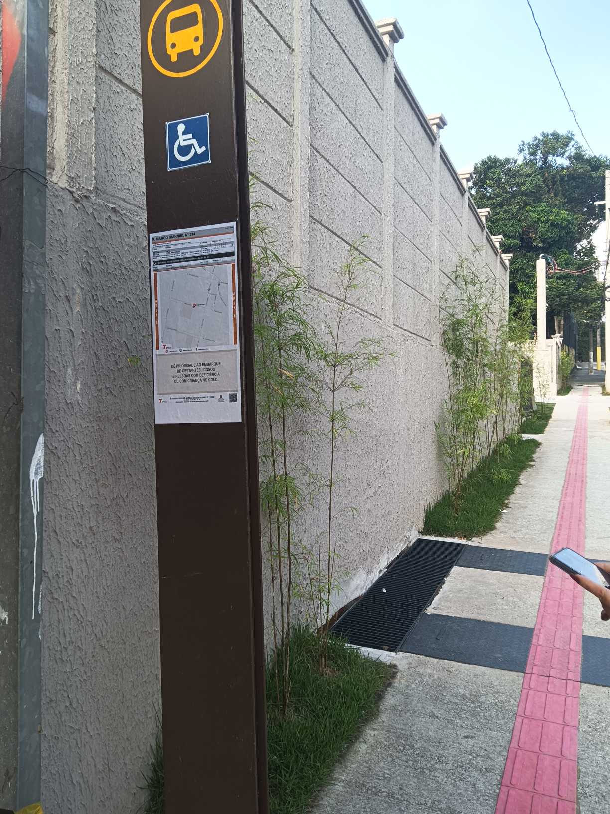 Taken by Anonymous
See Rua Marco Giannini 234 stop, Raposo Tavares, on the map
Public transit to Rua Marco Giannini 234 stop in Raposo Tavares
Looking for directions to Rua Marco Giannini 234 in Raposo Tavares, Brazil?
Download the Moovit App to find the current schedule and step-by-step directions for Bus routes that pass through Rua Marco Giannini 234.
Looking for the nearest stops closest to Rua Marco Giannini 234 ? Check out this list of closest stops to your destination: R. Cesar Cavassi; R. Cesar Cavassi; Rod. Raposo Tavares - Carrefour.
Bus: 213, 490, 748A-10, 809A-10, N842-11, 771P-10, 778J-10, 778R-10, 778J-41, 809H-10.
We make riding on public transit to Rua Marco Giannini 234 easy, which is why over 1.5 million users, including users in Raposo Tavares trust Moovit as the best app for public transit.
Use the app to navigate to popular places including to the airport, hospital, stadium, grocery store, mall, coffee shop, school, college, and university.
The first line to this stop is N842-11, at 3:56 AM, and the last line is N842-11 at 2:56 AM.
This stop serves SPTrans’s lines
- R. Cesar Cavassi, 59,
- R. Cesar Cavassi, 59 - Jardim Gilda Maria, São Paulo,
- Rod. Raposo Tavares - Carrefour
Bus stops near Rua Marco Giannini 234 stop
- Av. Cruzeiro do Sul, 2762,
- Avenida Nordestina, 4704,
- Rua Doutor Miguel de Campos Júnior- 100,
- Estrada Mogi-Bertioga (Rotatoria Taiacupeba),
- Av. Ricardo Jafet, 1898,
- Avenida Adolfo Pinheiro 1000,
- Estr. Itaquaquecetuba,
- Avenida Cruzeiro do Sul 1800,
- Estrada Municipal Ettore Palma - Franco da Rocha,
- Av. Yervant Kissajikian, 2699,
- Parada Cemitério Da Saudade,
- Avenida Marcos Penteado de Ulhôa Rodrigues 2329,
- Hospital Doutor Arnaldo Pezzuti Cavalcanti (Espaco Do Usuario),
- R. João Ventura Batista, 615,
- Parada 1/2/3 - Antônio de Barros,
- Av. das Nações Unidas, 11633,
- Parada Upa City Jaraguá,
- R. Gomes de Carvalho, 1507,
- Tiradentes,
- Ponto Final Emtu - Penha
Popular public transit stations in Raposo Tavares
Get around Raposo Tavares by public transit!
Traveling around Raposo Tavares has never been so easy. See step by step directions as you travel to any attraction, street or major public transit station. View bus and train schedules, arrival times, service alerts and detailed routes on a map, so you know exactly how to get to anywhere in Raposo Tavares.
When traveling to any destination around Raposo Tavares use Moovit's Live Directions with Get Off Notifications to know exactly where and how far to walk, how long to wait for your line, and how many stops are left. Moovit will alert you when it's time to get off — no need to constantly re-check whether yours is the next stop.
Wondering how to use public transit in Raposo Tavares or how to pay for public transit in Raposo Tavares? Moovit public transit app can help you navigate your way with public transit easily, and at minimum cost. It includes public transit fees, ticket prices, and costs. Looking for a map of Raposo Tavares public transit lines? Moovit public transit app shows all public transit maps in Raposo Tavares with all Bus, Train, Metro, Light Rail, Ferry, Gondola, Cable Car and Funicular routes and stops on an interactive map.
Sao Paulo Region has 8 transit type(s), including: Bus, Train, Metro, Light Rail, Ferry, Gondola, Cable Car and Funicular, operated by several transit agencies, including Metrô de São Paulo, ViaQuatro, ViaMobilidade, CPTM, Aquático SP, SPTrans, EMTU, Auto Ônibus Moratense, GRU Airport (Aeroporto de Guarulhos), Auto Viação Urubupungá (Cajamar), Viação Cometa, Auto Viação Urubupungá (Osasco), Viação Ultra / Rápido Brasil, Auto Viação Urubupungá (Santana de Parnaíba) and Expresso Luxo