Rua Maria Beatriz 684 stop - Tuesday schedule
| Line | Direction | Time |
|---|---|---|
| 3052 | Estação Diamante | 4:31 AM |
| 9211 | Havai (Noturno) | 4:41 AM |
| 3052 | Estação Diamante | 4:46 AM |
| 9211 | Havai | 4:57 AM |
| 3052 | Estação Diamante | 5:01 AM |
| 9211 | Havai | 5:13 AM |
| 3052 | Estação Diamante | 5:21 AM |
| 3051 | Flavio Marques Lisboa | 5:27 AM |
| 9211 | Havai | 5:28 AM |
| 3052 | Estação Diamante | 5:31 AM |
| 3051 | Flavio Marques Lisboa | 5:36 AM |
| 9211 | Havai | 5:40 AM |
| 3052 | Estação Diamante | 5:41 AM |
| 3051 | Flavio Marques Lisboa | 5:46 AM |
| 3052 | Estação Diamante | 5:51 AM |
| 9211 | Havai | 5:53 AM |
| 3051 | Flavio Marques Lisboa (Retorno Expresso) | 5:54 AM |
| 3052 | Estação Diamante | 6:01 AM |
| 3051 | Flavio Marques Lisboa | 6:02 AM |
| 9211 | Havai | 6:05 AM |
| 3051 | Flavio Marques Lisboa | 6:08 AM |
| 3052 | Estação Diamante | 6:11 AM |
| 3051 | Flavio Marques Lisboa (Retorno Expresso) | 6:14 AM |
| 3051 | Flavio Marques Lisboa | 6:20 AM |
| 3052 | Estação Diamante | 6:21 AM |
Directions to Rua Maria Beatriz 684 stop (Belo Horizonte) with public transit
The following transit lines have routes that pass near Rua Maria Beatriz 684
 Bus: 3051, 9211, 206, 3052, 3151.
- Metro: LINHA 1 LARANJA, LINHA 2 AZUL.
How to get to Rua Maria Beatriz 684 stop by bus?
Click on the bus route to see step by step directions with maps, line arrival times and updated time schedules.
How to get to Rua Maria Beatriz 684 stop by metro?
Click on the metro route to see step by step directions with maps, line arrival times and updated time schedules.
Bus stops near Rua Maria Beatriz 684 stop in Belo Horizonte
- Rua Maria Beatriz 695, 1 min walk,
- Pca Lile Haddad 45, 4 min walk,
- Rua Orquidea 261, 5 min walk,
Metro stations near Rua Maria Beatriz 684 station in Belo Horizonte
- Estação Gameleira, 10 min walk,
- Estação Amazonas, 20 min walk,
Bus lines to Rua Maria Beatriz 684 stop in Belo Horizonte
- 206, Circular Oeste,
- 3051, Flavio Marques Lisboa / Savassi Via N.S.Carmo,
- 3052, Estação Diamante/Bh Shopping-Via Havai,
- 3151, Estação Diamante/Parque das Mangabeiras via Havaí,
- 9211, Caetano Furquim/Havaí,
- 2036, Alto Havaí (Desvio Feira Afonso Pena),
- 1404A, Alipio De Melo (Principal),
- 1404C, São Salvador (Noturno),
What are the closest stations to Rua Maria Beatriz 684?
The closest stations to Rua Maria Beatriz 684 are:
- Rua Maria Beatriz 695 stop is 12 meters away, 1 min walk.
- Pca Lile Haddad 45 stop is 286 meters away, 4 min walk.
- Rua Orquidea 261 stop is 326 meters away, 5 min walk.
- Estação Gameleira station is 772 meters away, 10 min walk.
- Estação Amazonas station is 1546 meters away, 20 min walk.
Which bus lines stop near Rua Maria Beatriz 684?
These bus lines stop near Rua Maria Beatriz 684: 3051, 9211.
Which metro line stops near Rua Maria Beatriz 684?
LINHA 1 LARANJA (Estação Vilarinho ➞ Estação Novo Eldorado)
What’s the nearest metro station to Rua Maria Beatriz 684 in Belo Horizonte?
The nearest metro station to Rua Maria Beatriz 684 in Belo Horizonte is Estação Gameleira. It’s a 10 min walk away.
What’s the nearest bus station to Rua Maria Beatriz 684 in Belo Horizonte?
The nearest bus station to Rua Maria Beatriz 684 in Belo Horizonte is Rua Maria Beatriz 695. It’s a 1 min walk away.
What time is the first metro to Rua Maria Beatriz 684 in Belo Horizonte?
The LINHA 1 LARANJA is the first metro that goes to Rua Maria Beatriz 684 in Belo Horizonte. It stops nearby at 4:54 AM.
What time is the last metro to Rua Maria Beatriz 684 in Belo Horizonte?
The LINHA 1 LARANJA is the last metro that goes to Rua Maria Beatriz 684 in Belo Horizonte. It stops nearby at 11:41 PM.
What time is the first bus to Rua Maria Beatriz 684 in Belo Horizonte?
The 9211 is the first bus that goes to Rua Maria Beatriz 684 in Belo Horizonte. It stops nearby at 3:03 AM.
What time is the last bus to Rua Maria Beatriz 684 in Belo Horizonte?
The 1404A is the last bus that goes to Rua Maria Beatriz 684 in Belo Horizonte. It stops nearby at 2:22 AM.
Rua Maria Beatriz 684 station
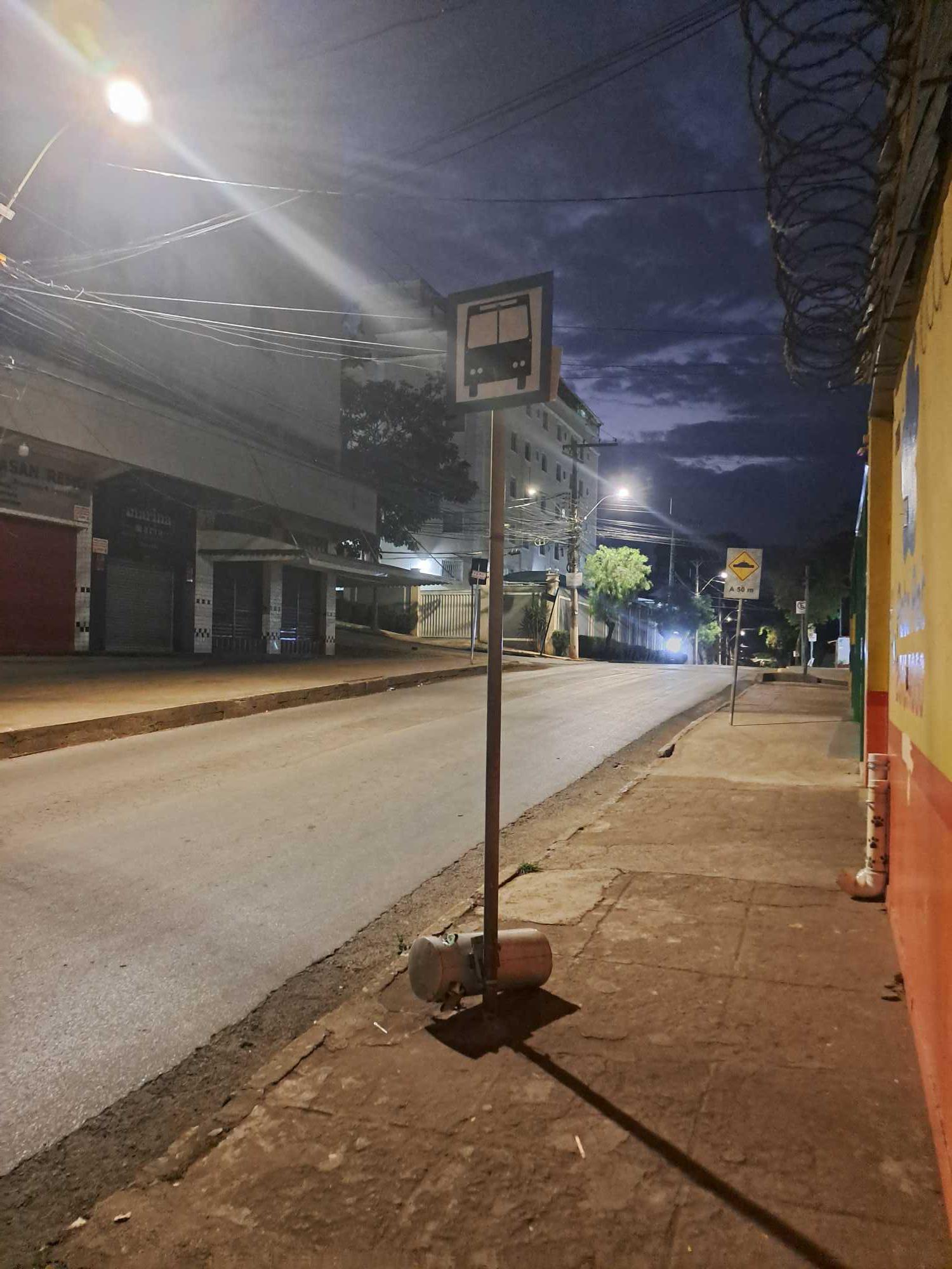 Taken by Kaus F.
See Rua Maria Beatriz 684 stop, Belo Horizonte, on the map
Public transit to Rua Maria Beatriz 684 stop in Belo Horizonte
Looking for directions to Rua Maria Beatriz 684 in Belo Horizonte, Brazil?
Download the Moovit App to find the current schedule and step-by-step directions for Bus or Metro routes that pass through Rua Maria Beatriz 684.
Looking for the nearest stops closest to Rua Maria Beatriz 684 ? Check out this list of closest stops to your destination: Rua Maria Beatriz 695; Pca Lile Haddad 45; Rua Orquidea 261; Estação Gameleira; Estação Amazonas.
Bus: 3051, 9211, 206, 3052, 3151, 2036, 1404A, 1404C.Metro: LINHA 1 LARANJA, LINHA 2 AZUL.
We make riding on public transit to Rua Maria Beatriz 684 easy, which is why over 1.7 billion users, including users in Belo Horizonte trust Moovit as the best app for public transit.
Use the app to navigate to popular places including to the airport, hospital, stadium, grocery store, mall, coffee shop, school, college, and university.
The first line to this stop is 3052, at 4:31 AM, and the last line is 9211 at 2:51 AM.
Rua Maria Beatriz, Belo Horizonte, Brazil
This stop serves BHTrans linhas convencionais’s lines
- Rua Maria Beatriz 695,
- Pca Lile Haddad 45,
- Rua Orquidea 261
Bus stops near Rua Maria Beatriz 684 stop
- Estação Gameleira,
- Estação Amazonas
Metro stations near Rua Maria Beatriz 684 station
- Rua São Paulo, 1333 | Assembleia De Deus,
- Br-040, Km 479,5 Sul | Solar Do Engenho,
- Morro Do Pião | Ida,
- Av. João César De Oliveira, 2733 | Correios,
- Br-040, Km 519,5 Norte,
- Av. Prof. Alfredo Balena, 190 | Faculdade De Medicina Ufmg 2,
- Mg-432, Km 4,1 Leste | Acesso Ao Bairro São Pedro,
- Br-381 Rodovia Fernão Dias, Km 530,9 Norte,
- Av. Dos Andradas, 3100 | Câmara Municipal De Belo Horizonte,
- Av. João César De Oliveira, 5400 | 18º Batalhão De Polícia Militar,
- Av. José Faria Da Rocha, 5982- Sentido Av. João César,
- Av. Cristiano Machado, 11077 | Una Campus Linha Verde,
- Rua Antônio Teixeira Dias, 1600 | Associação Dos Moradores,
- Av. Acadêmico Nilo Figueiredo, 2477,
- Rua Curvelo, 102,
- Br-381, Km 444,8 Sul | Posto Fumaça,
- Br-040, Km 503,8 Norte | Bairro Ipê Amarelo,
- Rua Maria Marques Sabino, 282,
- Rua Rio De Janeiro, 330 Com Jk A,
- Al. Ezequiel Dias, 275 | Hospital Da Previdência 1
Popular public transit stations in Belo Horizonte
Get around Belo Horizonte by public transit!
Traveling around Belo Horizonte has never been so easy. See step by step directions as you travel to any attraction, street or major public transit station. View bus and train schedules, arrival times, service alerts and detailed routes on a map, so you know exactly how to get to anywhere in Belo Horizonte.
When traveling to any destination around Belo Horizonte use Moovit's Live Directions with Get Off Notifications to know exactly where and how far to walk, how long to wait for your line, and how many stops are left. Moovit will alert you when it's time to get off — no need to constantly re-check whether yours is the next stop.
Wondering how to use public transit in Belo Horizonte or how to pay for public transit in Belo Horizonte? Moovit public transit app can help you navigate your way with public transit easily, and at minimum cost. It includes public transit fees, ticket prices, and costs. Looking for a map of Belo Horizonte public transit lines? Moovit public transit app shows all public transit maps in Belo Horizonte with all Bus, Train and Metro routes and stops on an interactive map.
Belo Horizonte Region has 3 transit type(s), including: Bus, Train and Metro, operated by several transit agencies, including Grupo Comporte, BHTrans linhas convencionais, BHTrans Suplementar, Cidade Administrativa de Minas Gerais, Transporte Coletivo Metropolitano de MG - (SEINFRA), Transportadora Abreu & Souza, Viação Santa Edwiges | Linhas Transbetim, Transporte Complementar de Betim, RODAP | Municipais Santa Luzia, ViaOuro Coletivos | Municipais Nova Lima, TURI - Transporte Urbano Rodoviário e Intermunicipal Ltda, Cooperseltta, SIT Neves, Saritur Esmeraldas and CAF Transportes| Municipais Brumadinho