Rua Piauí, 7 stop - Friday schedule
| Line | Direction | Time |
|---|---|---|
| 0.640 | W3 Norte/Sul | 4:09 AM |
| 0.620 | Rod.P.Piloto (via Eixo Norte) | 4:09 AM |
| 0.620 | Rod.P.Piloto (via Eixo Norte) | 4:24 AM |
| 0.640 | W3 Norte/Sul | 4:29 AM |
| 0.600 | Eixo Norte/Sul | 4:34 AM |
| 0.504 | Sobradinho I «» Planaltina | 4:39 AM |
| 611.1 | Planaltina | 4:41 AM |
| 0.620 | Rod.P.Piloto (via Eixo Norte) | 4:47 AM |
| 0.640 | W3 Norte/Sul | 4:49 AM |
| 604.4 | SIA / SAAN / Park Sul (ParkShopping) | 4:59 AM |
| 0.504 | Sobradinho I «» Planaltina | 4:59 AM |
| 0.600 | Eixo Norte/Sul | 5:00 AM |
| 0.640 | W3 Norte/Sul | 5:07 AM |
| 0.620 | Rod.P.Piloto (via Eixo Norte) | 5:14 AM |
| 0.601 | Eixo Norte/Sul | 5:15 AM |
| 0.640 | W3 Norte/Sul | 5:23 AM |
| 0.620 | Rod.P.Piloto (via Eixo Norte) | 5:24 AM |
| 604.1 | SIA / SAAN / Park Sul (ParkShopping) | 5:24 AM |
| 604.3 | SIA / SAAN / Park Sul (ParkShopping) | 5:25 AM |
| 0.601 | Eixo Norte/Sul | 5:30 AM |
| 0.624 | Esplanada (via Eixo Norte) | 5:39 AM |
| 0.640 | W3 Norte/Sul | 5:39 AM |
| 0.504 | Sobradinho I «» Planaltina | 5:40 AM |
| 0.620 | Rod.P.Piloto (via Eixo Norte) | 5:44 AM |
| 0.615 | Planaltina «» IFB - Campus Planaltina | 5:54 AM |
Directions to Rua Piauí, 7 stop (Planaltina) with public transit
The following transit lines have routes that pass near Rua Piauí, 7
 Bus: 0.638, 066.2, 1952, 611.1, 1950.
How to get to Rua Piauí, 7 stop by bus?
Click on the bus route to see step by step directions with maps, line arrival times and updated time schedules.
Bus stops near Rua Piauí, 7 stop in Planaltina
- St. Tradicional Q 23 - Planaltina Brasília - DF Brasil, 3 min walk,
- Rua Piauí, 4 min walk,
- Avenida Independência Planaltina Brasília - DF 73320-000 Brasil, 4 min walk,
- Avenida Independência | Setor Tradicional Q. 23 | Rotatória Vila Vicentina, 4 min walk,
- Avenida Independência | Vila Vicentina Q. 05, 4 min walk,
- Vila Vicentina Q 1 151, 5 min walk,
- Hospital Regional De Planaltina / Cras, 5 min walk,
- Via Wl-5 - Vila Vicentina | Campo Sintético (Lado Oposto), 10 min walk,
Bus lines to Rua Piauí, 7 stop in Planaltina
- 1950, Plan DF Via Estância,
- 9901, Plan DF,
- 0.504, |CIRCULAR| Sobradinho I / Planaltina,
- 0.600, Planaltina - Eixo Norte/Sul,
- 0.601, Planaltina (via Estâncias / Setor Tradicional) - Eixo Norte/Sul,
- 0.605, Planaltina - L2 Norte/Sul (UnB),
- 0.615, |CIRCULAR| Planaltina / Instituto Federal de Brasília - Campus Planaltina/DF,
- 0.620, Planaltina - Rodoviária do Plano Piloto (via Eixo Norte),
- 0.624, Planaltina - Esplanada (via Eixo Norte),
- 0.631, |CORUJÃO| Planaltina (Sobradinho I - QD 02 / Total Ville / Estancias) - Eixo Norte/Sul,
- 0.640, Planaltina - W3 Norte/Sul,
- 0.649, |CIRCULAR| Planaltina / Núcleo Rural Palmeiras (Quintas do Maranhão / Monjolo / Jardim Morumbi),
- 600.2, Planaltina (Total Ville / Estancias I - IV / Buritis I) - Eixo Norte/Sul,
- 600.6, Planaltina - Sudoeste / Cruzeiro (Palácio do Buriti / SIG),
- 601.3, |CIRCULAR| Rod. Planaltina - St. Tradicional / Setor Sul / Vicentina / Horta Comunitária / Cond. Marissol / Vila de Fátima (UnB),
- 604.1, Planaltina (DF-128) - SIA / SAAN / Park Sul (ParkShopping),
- 604.4, Bica do DER (DF-128 / Estâncias / Total Ville) - SIA / SAAN / Park Sul (ParkShopping),
- 615.1, Vale do Amanhecer / Planaltina / IFB - Campus Planaltina / Córrego do Meio,
- 1952, Planaltina Go x Planaltina DF (Via Roriz),
- 0.611, Planaltina «» N. R. Taquara / N. R. Pipiripau II,
What are the closest stations to Rua Piauí, 7?
The closest stations to Rua Piauí, 7 are:
- St. Tradicional Q 23 - Planaltina Brasília - DF Brasil stop is 170 meters away, 3 min walk.
- Rua Piauí stop is 253 meters away, 4 min walk.
- Avenida Independência Planaltina Brasília - DF 73320-000 Brasil stop is 282 meters away, 4 min walk.
- Avenida Independência | Setor Tradicional Q. 23 | Rotatória Vila Vicentina stop is 282 meters away, 4 min walk.
- Avenida Independência | Vila Vicentina Q. 05 stop is 284 meters away, 4 min walk.
- Vila Vicentina Q 1 151 stop is 356 meters away, 5 min walk.
- Hospital Regional De Planaltina / Cras stop is 359 meters away, 5 min walk.
- Via Wl-5 - Vila Vicentina | Campo Sintético (Lado Oposto) stop is 722 meters away, 10 min walk.
Which bus lines stop near Rua Piauí, 7?
These bus lines stop near Rua Piauí, 7: 0.638, 066.2, 1952, 611.1.
What’s the nearest bus station to Rua Piauí, 7 in Planaltina?
The nearest bus station to Rua Piauí, 7 in Planaltina is St. Tradicional Q 23 - Planaltina Brasília - DF Brasil. It’s a 3 min walk away.
What time is the first bus to Rua Piauí, 7 in Planaltina?
The 0.640 is the first bus that goes to Rua Piauí, 7 in Planaltina. It stops nearby at 4:08 AM.
What time is the last bus to Rua Piauí, 7 in Planaltina?
The 0.631 is the last bus that goes to Rua Piauí, 7 in Planaltina. It stops nearby at 2:50 AM.
Rua Piauí, 7 station
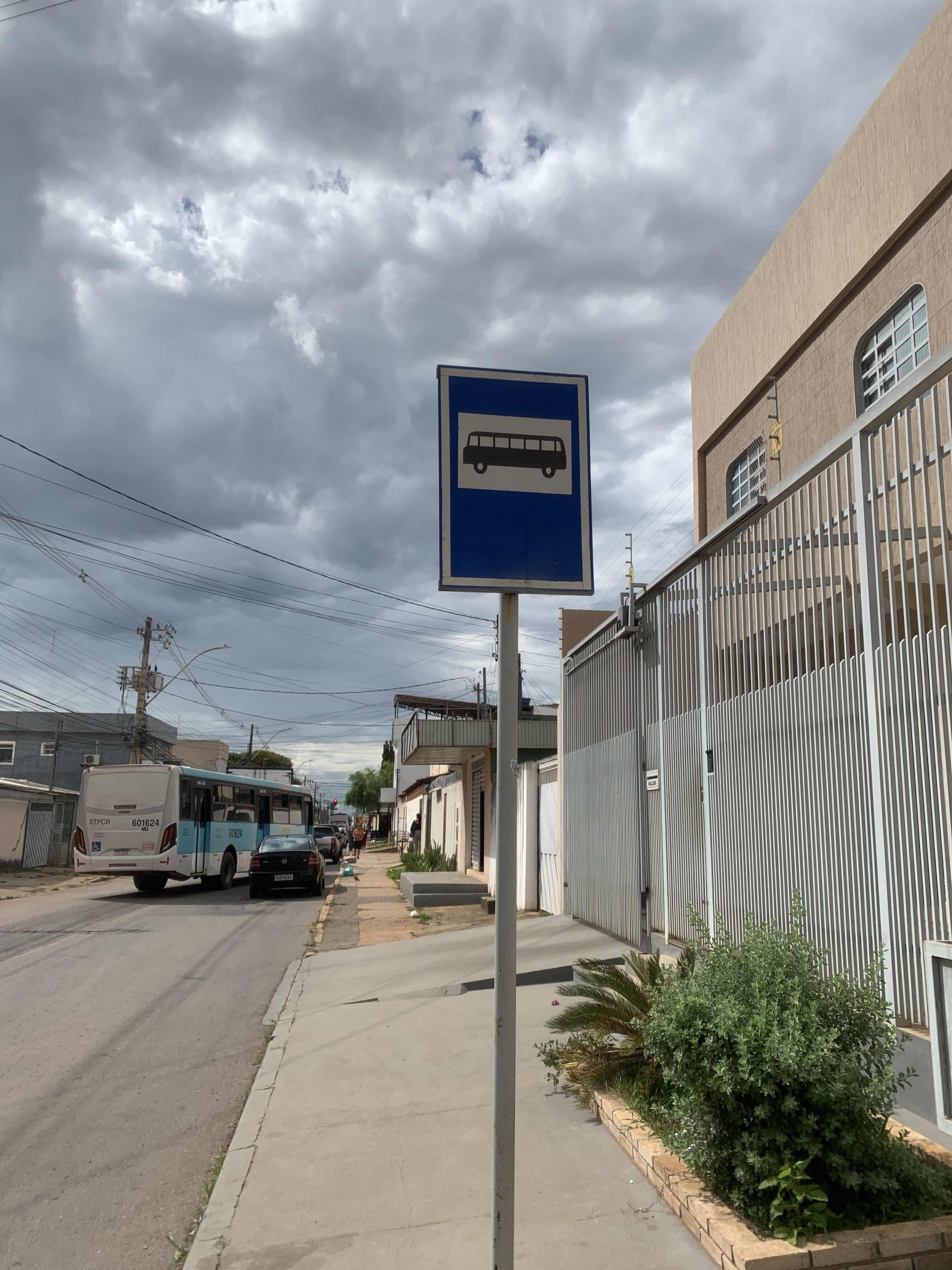 Taken by Anonymous
See Rua Piauí, 7 stop, Planaltina, on the map
Public transit to Rua Piauí, 7 stop (ID: 546) in Planaltina
Looking for directions to Rua Piauí, 7 in Planaltina, Brazil?
Download the Moovit App to find the current schedule and step-by-step directions for Bus routes that pass through Rua Piauí, 7.
Looking for the nearest stops closest to Rua Piauí, 7 ? Check out this list of closest stops to your destination: St. Tradicional Q 23 - Planaltina Brasília - DF Brasil; Rua Piauí; Avenida Independência Planaltina Brasília - DF 73320-000 Brasil; Avenida Independência | Setor Tradicional Q. 23 | Rotatória Vila Vicentina; Avenida Independência | Vila Vicentina Q. 05; Vila Vicentina Q 1 151; Hospital Regional De Planaltina / Cras; Via Wl-5 - Vila Vicentina | Campo Sintético (Lado Oposto).
Bus: 0.638, 066.2, 1952, 611.1, 1950, 9901, 0.504, 0.600, 0.601, 0.605, 0.615, 066.4, 066.7, 0.611, 604.3, 638.1, 066.1, 066.3, 601.1, 625.1.
We make riding on public transit to Rua Piauí, 7 easy, which is why over 1.7 billion users, including users in Planaltina trust Moovit as the best app for public transit.
Use the app to navigate to popular places including to the airport, hospital, stadium, grocery store, mall, coffee shop, school, college, and university.
Rua Piauí, 7 stop’s code is 546
The first line to this stop is 0.640, at 4:09 AM, and the last line is 0.631 at 1:39 AM.
LT 15 Vila Vicentina Q 3, Núcleo Rural Santos Dumont, Brazil
This stop serves Área 1 - Piracicabana and STPCR - Serviço de Transporte Público Complementar Rural’s lines
- St. Tradicional Q 23 - Planaltina Brasília - DF Brasil,
- Rua Piauí,
- Avenida Independência Planaltina Brasília - DF 73320-000 Brasil,
- Avenida Independência | Setor Tradicional Q. 23 | Rotatória Vila Vicentina,
- Avenida Independência | Vila Vicentina Q. 05,
- Vila Vicentina Q 1 151,
- Hospital Regional De Planaltina / Cras,
- Via Wl-5 - Vila Vicentina | Campo Sintético (Lado Oposto)
Bus stops near Rua Piauí, 7 stop
- Cl 418 - Av. Santa Maria,
- Buritizinho,
- Estância III (Lider Materiais De Construção) - Cef15,
- Pistão Sul | Atacadão / Na Hora / Leonardo da Vinci,
- Br-060 | Posto Fiscal / Assentamento Nova Jerusalém,
- Epct | Fábrica Jbs,
- Br-020 | Cond. Nova Esperança / Mestre D'Armas,
- Via Oeste | Eqno 3/5 (Supermercado Serve Mais),
- Epct | Entroncamento Epac,
- Caub I | Perboni *Lado Oposto*,
- Via S2 | Venâncio Shopping / Pátio Brasil / SHS,
- Hélio Prates | Qnm 1 (Beer House),
- Eixo L Sul | Banco Central / Hospital de Base,
- Quadra 10 | CEF 5 / Caíque Supermercado,
- Cl 310. - Av Santa Maria,
- Rod.P.Piloto | Plataformas B / F,
- Br 040 - Entrada De Luziania (Sentido Brasília),
- Av. Vedovelli Bortolo | Feira Permanente Do Gama,
- Av. Contorno | QE 13 (Atacadão Dia a Dia),
- Setor Sul | Cl 4 (Ced 08)
Popular public transit stations in Planaltina
Get around Planaltina by public transit!
Traveling around Planaltina has never been so easy. See step by step directions as you travel to any attraction, street or major public transit station. View bus and train schedules, arrival times, service alerts and detailed routes on a map, so you know exactly how to get to anywhere in Planaltina.
When traveling to any destination around Planaltina use Moovit's Live Directions with Get Off Notifications to know exactly where and how far to walk, how long to wait for your line, and how many stops are left. Moovit will alert you when it's time to get off — no need to constantly re-check whether yours is the next stop.
Wondering how to use public transit in Planaltina or how to pay for public transit in Planaltina? Moovit public transit app can help you navigate your way with public transit easily, and at minimum cost. It includes public transit fees, ticket prices, and costs. Looking for a map of Planaltina public transit lines? Moovit public transit app shows all public transit maps in Planaltina with all Bus and Subway routes and stops on an interactive map.
Brasilia Region has 2 transit type(s), including: Bus and Subway, operated by several transit agencies, including Metrô DF, Área 3 - Urbi, Área 2 - Pioneira, Área 1 - Piracicabana, Área 4 - Marechal, Área 5 - BsBus Mobilidade, STPCR - Serviço de Transporte Público Complementar Rural, TCB, Coobrataete, SEMOB - Secretaria de Transporte e Mobilidade do Distrito Federal, Expresso Planalto (MUNICIPAL), Amazônia Inter - (SEMIURBANO), Rede SARAH de Hospitais, Catedral (SEMIURBANO) and CT Expresso (SEMIURBANO)