Rua Princesa Isabel, 74 stop - Thursday schedule
| Line | Direction | Time |
|---|---|---|
| 53 | Capelinha ⇄ Hospital Regional | 4:51 AM |
| 53 | Capelinha ⇄ Hospital Regional | 5:03 AM |
| 412 | Capelinha ⇄ Centro | 5:05 AM |
| 53 | Capelinha ⇄ Hospital Regional | 5:14 AM |
| 53 | Capelinha ⇄ Hospital Regional | 5:24 AM |
| 53 | Capelinha ⇄ Hospital Regional | 5:34 AM |
| 412 | Capelinha ⇄ Centro | 5:35 AM |
| 53 | Capelinha ⇄ Hospital Regional | 5:44 AM |
| 53 | Capelinha ⇄ Hospital Regional | 5:54 AM |
| 414 | Capelinha ⇄ Centro | 6:01 AM |
| 53 | Capelinha ⇄ Hospital Regional | 6:04 AM |
| 53 | Capelinha ⇄ Hospital Regional | 6:14 AM |
| 7770 | Capelinha ⇄ Metrô | 6:21 AM |
| 53 | Capelinha ⇄ Hospital Regional | 6:24 AM |
| 412 | Capelinha ⇄ Centro | 6:25 AM |
| 53 | Capelinha ⇄ Hospital Regional | 6:34 AM |
| 53 | Capelinha ⇄ Hospital Regional | 6:44 AM |
| 412 | Capelinha ⇄ Centro | 6:50 AM |
| 53 | Capelinha ⇄ Hospital Regional | 6:56 AM |
| 53 | Capelinha ⇄ Hospital Regional | 7:08 AM |
| 412 | Capelinha ⇄ Centro | 7:15 AM |
| 53 | Capelinha ⇄ Hospital Regional | 7:20 AM |
| 2570 | Capelinha ⇄ B.H. | Ida & Volta | 7:22 AM |
| 53 | Capelinha ⇄ Hospital Regional | 7:33 AM |
| 2570 | Capelinha ⇄ B.H. | Ida & Volta | 7:36 AM |
Directions to Rua Princesa Isabel, 74 stop (Betim) with public transit
The following transit lines have routes that pass near Rua Princesa Isabel, 74
 Bus: 2570, 53, 7550, 412, 414.
How to get to Rua Princesa Isabel, 74 stop by bus?
Click on the bus route to see step by step directions with maps, line arrival times and updated time schedules.
Bus stops near Rua Princesa Isabel, 74 stop in Betim
- Av. Nova York, 440, 2 min walk,
- Av. São Diniz, 230, 6 min walk,
- Rua Francelina Cândida De Jesus, 245, 8 min walk,
Bus lines to Rua Princesa Isabel, 74 stop in Betim
- 53, Capelinha/Hospital Regional,
- 412, Capelinha/São Cristóvão/Centro via BR381,
- 414, Capelinha/Av. Juiz Marco Túlio Isaac/Centro/BR-381,
- 2570, Capelinha/Belo Horizonte,
- 2571, Capelinha via Perobas/Belo Horizonte,
- 7770, Capelinha/Metrô Eldorado via JK,
- 7540, Partida Em: B.H. ➞ Alvorada (P.I.),
- 7550, Só Ida: Alvorada ➞ B.H. (R.I.),
- 7570, Só Ida: Alvorada ➞ Estação Eldorado (R.I.),
- 411, Granja Verde ⇄ Centro,
- 7400, - São Luiz ⇄ B.H. | Ida & Volta,
- 7410, Só Ida: São Luiz ➞ B.H. (R.I.),
- 7450, Duque De Caxias ⇄ Estação Eldorado,
- 7500, Granja Verde ⇄ Estação Eldorado,
- 7660, - Petrolândia ⇄ B.H. | Ida & Volta,
What are the closest stations to Rua Princesa Isabel, 74?
The closest stations to Rua Princesa Isabel, 74 are:
- Av. Nova York, 440 stop is 141 meters away, 2 min walk.
- Av. São Diniz, 230 stop is 445 meters away, 6 min walk.
- Rua Francelina Cândida De Jesus, 245 stop is 560 meters away, 8 min walk.
Which bus lines stop near Rua Princesa Isabel, 74?
These bus lines stop near Rua Princesa Isabel, 74: 2570, 53, 7550.
What’s the nearest bus station to Rua Princesa Isabel, 74 in Betim?
The nearest bus station to Rua Princesa Isabel, 74 in Betim is Av. Nova York, 440. It’s a 2 min walk away.
What time is the first bus to Rua Princesa Isabel, 74 in Betim?
The 7660 is the first bus that goes to Rua Princesa Isabel, 74 in Betim. It stops nearby at 4:15 AM.
What time is the last bus to Rua Princesa Isabel, 74 in Betim?
The 7660 is the last bus that goes to Rua Princesa Isabel, 74 in Betim. It stops nearby at 11:37 PM.
Rua Princesa Isabel, 74 station
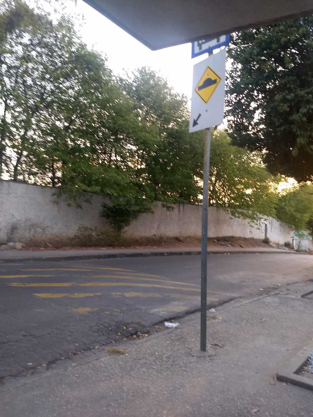 Taken by Anonymous
See Rua Princesa Isabel, 74 stop, Betim, on the map
Public transit to Rua Princesa Isabel, 74 stop in Betim
Looking for directions to Rua Princesa Isabel, 74 in Betim, Brazil?
Download the Moovit App to find the current schedule and step-by-step directions for Bus routes that pass through Rua Princesa Isabel, 74.
Looking for the nearest stops closest to Rua Princesa Isabel, 74 ? Check out this list of closest stops to your destination: Av. Nova York; Av. São Diniz; Rua Francelina Cândida De Jesus.
Bus: 2570, 53, 7550, 412, 414, 2571, 7540, 7570, 411, 7400, 7410, 7450, 7500.
We make riding on public transit to Rua Princesa Isabel, 74 easy, which is why over 1.7 billion users, including users in Betim trust Moovit as the best app for public transit.
Use the app to navigate to popular places including to the airport, hospital, stadium, grocery store, mall, coffee shop, school, college, and university.
The first line to this stop is 53, at 4:51 AM, and the last line is 2571 at 9:52 PM.
18 Rua Princesa Isabel, Betim, Brazil
This stop serves Viação Santa Edwiges | Linhas Transbetim, Transporte Coletivo Metropolitano de MG - (SEINFRA) and Transporte Complementar de Betim’s lines
- Av. Nova York, 440,
- Av. São Diniz, 230,
- Rua Francelina Cândida De Jesus, 245
Bus stops near Rua Princesa Isabel, 74 stop
- Av. Teresa Cristina, 107 | Estação Carlos Prates,
- Leroy Merlin/Itaú Power Shopping,
- Av. Contagem, 305 | Praça Betim Industrial,
- Av. Nsa. Do Carmo, 221 | Galeria Carmo Sion 2,
- Av. Beira-Rio, 2000 | Facsal,
- Lmg-806, Km 7,9 Oeste | 40º Batalhão Da Polícia Militar,
- Av. Olegário Maciel, 748 | Mercado Novo 3,
- Av. Prof. Alfredo Balena, 110 | Faculdade De Medicina Ufmg 1,
- Rua Úrsula Paulino, 22 | Hospital Espírita André Luiz,
- Av. Serrana, 420,
- Mg-238, Km 28,1 Leste | Acesso Ao 4º Gaaae,
- Av. Teresa Cristina, 10467,
- Br-040, Km 469,7 Norte | Veminas,
- Rua Trem De Ferro, 453,
- Br-381, Km 451 Norte | Bairro Borba Gato,
- Av. Dr. Jorge Dias De Oliva, 3301,
- Lmg-808, Km 15 Norte,
- Av. Das Indústrias, 3000 | Megaspace,
- Av. Olinto Meireles, 2599,
- Rua Vc - 3, Nº 170 | E. E. Nova Contagem
Popular public transit stations in Betim
Get around Betim by public transit!
Traveling around Betim has never been so easy. See step by step directions as you travel to any attraction, street or major public transit station. View bus and train schedules, arrival times, service alerts and detailed routes on a map, so you know exactly how to get to anywhere in Betim.
When traveling to any destination around Betim use Moovit's Live Directions with Get Off Notifications to know exactly where and how far to walk, how long to wait for your line, and how many stops are left. Moovit will alert you when it's time to get off — no need to constantly re-check whether yours is the next stop.
Wondering how to use public transit in Betim or how to pay for public transit in Betim? Moovit public transit app can help you navigate your way with public transit easily, and at minimum cost. It includes public transit fees, ticket prices, and costs. Looking for a map of Betim public transit lines? Moovit public transit app shows all public transit maps in Betim with all Bus, Train and Metro routes and stops on an interactive map.
Belo Horizonte Region has 3 transit type(s), including: Bus, Train and Metro, operated by several transit agencies, including Grupo Comporte, BHTrans linhas convencionais, BHTrans Suplementar, Cidade Administrativa de Minas Gerais, Transporte Coletivo Metropolitano de MG - (SEINFRA), Transportadora Abreu & Souza, Viação Santa Edwiges | Linhas Transbetim, Transporte Complementar de Betim, RODAP | Municipais Santa Luzia, ViaOuro Coletivos | Municipais Nova Lima, TURI - Transporte Urbano Rodoviário e Intermunicipal Ltda, Cooperseltta, SIT Neves, Saritur Esmeraldas and CAF Transportes| Municipais Brumadinho