How to get to Rua Rio Bonito by bus?
Click on the bus route to see step by step directions with maps, line arrival times and updated time schedules.
From icarai, Niterói
47 minFrom PAM Neves, São Gonçalo
42 minFrom camboinhas, Niterói
80 minFrom Alameda São Boaventura, Niterói
60 minFrom Niterói x Maricá, Niterói
40 minFrom Rodovia BR-101, Km 298 s/n, Itaboraí
38 minFrom Alameda, Niterói
39 minFrom Cadeia Pública Juíza Patrícia Lourival Acioli, São Gonçalo
48 minFrom Hospital Estadual Azevedo Lima, Niterói
37 minFrom 770 - Itaipu x Candelária, Niterói
79 min
Bus stops near Rua Rio Bonito in São Gonçalo
Bus lines to Rua Rio Bonito in São Gonçalo
- 535, Alcântara X Estácio,VIEW
- 545, Alcântara X Passeio,VIEW
- 2545, Alcântara X Castelo,VIEW
- 4545, Alcântara X Castelo,VIEW
- 01, Santa Izabel - Centro,VIEW
- 02, Circular CEASA (via Água Mineral),VIEW
- 06, Largo da Ideia - Coroado (Via Alcântara),VIEW
- 07, Guaxindiba - Centro (via Alcântara),VIEW
- 10, Circular CEASA - Centro,VIEW
- 12, Jardim Catarina - Covanca (Via Santa Luzia),VIEW
- 12A, Santa Luzia - Venda da Cruz,VIEW
- 13, Jardim Catarina - Neves,VIEW
- 13A, Santa Luzia - Venda da Cruz (Via Neves / Covanca),VIEW
- 13B, Santa Luzia - Neves,VIEW
- 14C, Jardim Catarina - Shopping (Via Coroado / Visconde de Seabra),VIEW
- 15, Jockey - Centro (Via Alcântara),VIEW
- 20, Maria Rita - Alcântara,VIEW
- 20A, Bairro Almerinda - Praia das Pedrinhas (Via Shopping),VIEW
- 22, Várzea das Moças - Centro,VIEW
- 23, Mundel - Centro,VIEW
What are the closest stations to Rua Rio Bonito?
The closest stations to Rua Rio Bonito are:
- Rua Doutor Alfredo Backer 199 is 178 meters away, 3 min walk.
- Rua Doutor Alfredo Backer, 197 is 238 meters away, 4 min walk.
- Avenida Jornalista Roberto Marinho, 2215 is 377 meters away, 5 min walk.
- Avenida José Mendonça De Campos, 1746 is 1021 meters away, 13 min walk.
- Rua Doutor Alfredo Backer 198 is 1124 meters away, 15 min walk.
Which bus lines stop near Rua Rio Bonito?
These bus lines stop near Rua Rio Bonito: 12, 35, 531, 56.
What’s the nearest bus station to Rua Rio Bonito in São Gonçalo?
The nearest bus station to Rua Rio Bonito in São Gonçalo is Rua Doutor Alfredo Backer 199. It’s a 3 min walk away.
What time is the first bus to Rua Rio Bonito in São Gonçalo?
The 531 is the first bus that goes to Rua Rio Bonito in São Gonçalo. It stops nearby at 3:10 AM.
What time is the last bus to Rua Rio Bonito in São Gonçalo?
The 531 is the last bus that goes to Rua Rio Bonito in São Gonçalo. It stops nearby at 3:05 AM.
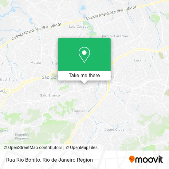
See Rua Rio Bonito, São Gonçalo, on the map
Public Transit to Rua Rio Bonito in São Gonçalo
Wondering how to get to Rua Rio Bonito in São Gonçalo? Moovit helps you find the best way to get to Rua Rio Bonito with step-by-step directions from the nearest public transit station.
Moovit provides free maps and live directions to help you navigate through your city. View schedules, routes, timetables, and find out how long does it take to get to Rua Rio Bonito in real time.
Looking for the nearest stop or station to Rua Rio Bonito? Check out this list of stops closest to your destination: Rua Doutor Alfredo Backer 199; Rua Doutor Alfredo Backer; Avenida Jornalista Roberto Marinho; Avenida José Mendonça De Campos; Rua Doutor Alfredo Backer 198.
Bus: 12, 35, 531, 56, 535, 545, 2545, 4545, 01, 5400M, 520D, 2520D (EXECUTIVO), 530, 43.
Want to see if there’s another route that gets you there at an earlier time? Moovit helps you find alternative routes or times. Get directions from and directions to Rua Rio Bonito easily from the Moovit App or Website.
We make riding to Rua Rio Bonito easy, which is why over 1.5 million users, including users in São Gonçalo, trust Moovit as the best app for public transit. You don’t need to download an individual bus app or train app, Moovit is your all-in-one transit app that helps you find the best bus time or train time available.
For information on prices of bus, costs and ride fares to Rua Rio Bonito, please check the Moovit app.
Use the app to navigate to popular places including to the airport, hospital, stadium, grocery store, mall, coffee shop, school, college, and university.
Rua Rio Bonito Address: Mutondo São Gonçalo-RJ street in São Gonçalo
- Mutondo,
- Igreja Batista Central Em Jardim Fluminense,
- Escola Municipal Alberto Torres,
- Distribuidora de Doces Quixaba,
- Banco Santander (Ag 1596),
- pipopocas,
- Bar do Cabrito,
- Rua Niterói / Rua Artur Jardim,
- Supermercados Guanabara - São Gonçalo,
- Posto de Saúde do Colubandê,
- Rua Niterói, 110,
- BR Logística,
- Guanabara,
- Ciep 125 Professor Paulo Roberto Macedo Do Amaral,
- Alameda Niterói 5,
- Ponto de ônibus caneco 90,
- Rua Raul Pederneiras,
- Supermercados Guanabara,
- Girafas - Guanabara,
- Ws Toldos e Coberturas
Places Near Rua Rio Bonito (São Gonçalo)
- Feira Livre da Gloria, Glória,
- Avenida Rio Branco, Centro,
- Rodoviária Novo Rio (Rodoviária do Rio de Janeiro), Santo Cristo,
- Rua Ulysses Guimarães 16, Cidade Nova,
- Rua Licínio Cardoso, São Francisco Xavier,
- Norte Shopping, Cachambi,
- Hospital Federal Cardoso Fontes, Jacarepaguá,
- Rio De Janeiro,
- Shopping RioSul, Botafogo,
- Shopping Nova América, Del Castilho,
- Shopping Rio Sul, Botafogo,
- Museu Do Amanhã, Centro,
- Avenida Venezuela 134, Saúde,
- Hospital Federal Do Andaraí, Andaraí,
- Feirão De Malhas, Duque De Caxias,
- Hospital Pedro Ernesto, Vila Isabel,
- Niterói, Niterói,
- Shopping Downtown, Barra Da Tijuca,
- Hospital Municipal Ronaldo Gazolla, Acari,
- Praia do Arpoador, Ipanema
How to get to popular places in Rio de Janeiro Region with public transit
Get around São Gonçalo by public transit!
Traveling around São Gonçalo has never been so easy. See step by step directions as you travel to any attraction, street or major public transit station. View bus and train schedules, arrival times, service alerts and detailed routes on a map, so you know exactly how to get to anywhere in São Gonçalo.
When traveling to any destination around São Gonçalo use Moovit's Live Directions with Get Off Notifications to know exactly where and how far to walk, how long to wait for your line, and how many stops are left. Moovit will alert you when it's time to get off — no need to constantly re-check whether yours is the next stop.
Wondering how to use public transit in São Gonçalo or how to pay for public transit in São Gonçalo? Moovit public transit app can help you navigate your way with public transit easily, and at minimum cost. It includes public transit fees, ticket prices, and costs. Looking for a map of São Gonçalo public transit lines? Moovit public transit app shows all public transit maps in São Gonçalo with all Bus, Train, Metro, Light Rail, Ferry, Cable Car, Gondola and Funicular routes and stops on an interactive map.
Rio de Janeiro Region has 8 transit type(s), including: Bus, Train, Metro, Light Rail, Ferry, Cable Car, Gondola and Funicular, operated by several transit agencies, including TrensRJ, Metrô Rio, VLT Carioca, Barcas Rio, BRT MOBI-Rio, Auto Viação Alpha, Auto Viação Tijuca, Gire Transportes, Transurb, Viação Nossa Senhora das Graças, Consórcio INTERSUL, Braso Lisboa (Municipal), Caprichosa Auto Ônibus, Auto Viação Três Amigos and Rodoviária Âncora Matias