Rua São Bento, 51 stop - Saturday schedule
| Line | Direction | Time |
|---|---|---|
| 60 | PTB ⇄ Hospital Regional | 5:09 AM |
| 60 | PTB ⇄ Hospital Regional | 5:39 AM |
| 3205 | Jardim Petrópolis ⇄ Estação Eldorado | Ida & Volta | 6:05 AM |
| 60 | PTB ⇄ Hospital Regional | 6:09 AM |
| 60 | PTB ⇄ Hospital Regional | 6:29 AM |
| 3205 | Jardim Petrópolis ⇄ Estação Eldorado | Ida & Volta | 6:45 AM |
| 60 | PTB ⇄ Hospital Regional | 6:49 AM |
| 60 | PTB ⇄ Hospital Regional | 7:12 AM |
| 60 | PTB ⇄ Hospital Regional | 7:32 AM |
| 60 | PTB ⇄ Hospital Regional | 7:52 AM |
| 60 | PTB ⇄ Hospital Regional | 8:12 AM |
| 3205 | Jardim Petrópolis ⇄ Estação Eldorado | Ida & Volta | 8:20 AM |
| 60 | PTB ⇄ Hospital Regional | 8:37 AM |
| 60 | PTB ⇄ Hospital Regional | 9:02 AM |
| 60 | PTB ⇄ Hospital Regional | 9:22 AM |
| 60 | PTB ⇄ Hospital Regional | 9:42 AM |
| 3205 | Jardim Petrópolis ⇄ Estação Eldorado | Ida & Volta | 9:45 AM |
| 60 | PTB ⇄ Hospital Regional | 10:10 AM |
| 60 | PTB ⇄ Hospital Regional | 10:30 AM |
| 60 | PTB ⇄ Hospital Regional | 10:50 AM |
| 60 | PTB ⇄ Hospital Regional | 11:10 AM |
| 3205 | Jardim Petrópolis ⇄ Estação Eldorado | Ida & Volta | 11:25 AM |
| 60 | PTB ⇄ Hospital Regional | 11:30 AM |
| 60 | PTB ⇄ Hospital Regional | 11:50 AM |
| 60 | PTB ⇄ Hospital Regional | 12:10 PM |
Directions to Rua São Bento, 51 stop (Betim) with public transit
The following transit lines have routes that pass near Rua São Bento, 51
 Bus: 3205, 3292, 60, 261, 3180.
How to get to Rua São Bento, 51 stop by bus?
Click on the bus route to see step by step directions with maps, line arrival times and updated time schedules.
Bus stops near Rua São Bento, 51 stop in Betim
- Rua São Bento, 32, 1 min walk,
- Rua São Silvério, 310, 13 min walk,
- Rua Raymundo Gabriel Rezende, 72, 18 min walk,
Bus lines to Rua São Bento, 51 stop in Betim
- 60, PTB ⇄ Hospital Regional,
- 3205, Jardim Petrópolis ⇄ Estação Eldorado | Ida & Volta,
- 3292, Partida Em: B.H. ➞ Petrópolis Via PTB (P.I.),
- 261, Taquaril ⇄ Vila Verde Via Rua Júpiter,
- 3180, Vila Verde ⇄ B.H. Via PTB,
- 3190, PTB ⇄ BH Via FIAT,
- 61, Alterosas 2ª Seção ⇄ Cruzeiro (Viagem De Ida & Volta),
What are the closest stations to Rua São Bento, 51?
The closest stations to Rua São Bento, 51 are:
- Rua São Bento, 32 stop is 15 meters away, 1 min walk.
- Rua São Silvério, 310 stop is 963 meters away, 13 min walk.
- Rua Raymundo Gabriel Rezende, 72 stop is 1349 meters away, 18 min walk.
Which bus lines stop near Rua São Bento, 51?
These bus lines stop near Rua São Bento, 51: 3205, 3292, 60.
What’s the nearest bus station to Rua São Bento, 51 in Betim?
The nearest bus station to Rua São Bento, 51 in Betim is Rua São Bento, 32. It’s a 1 min walk away.
What time is the first bus to Rua São Bento, 51 in Betim?
The 3180 is the first bus that goes to Rua São Bento, 51 in Betim. It stops nearby at 4:26 AM.
What time is the last bus to Rua São Bento, 51 in Betim?
The 3205 is the last bus that goes to Rua São Bento, 51 in Betim. It stops nearby at 12:36 AM.
Rua São Bento, 51 station
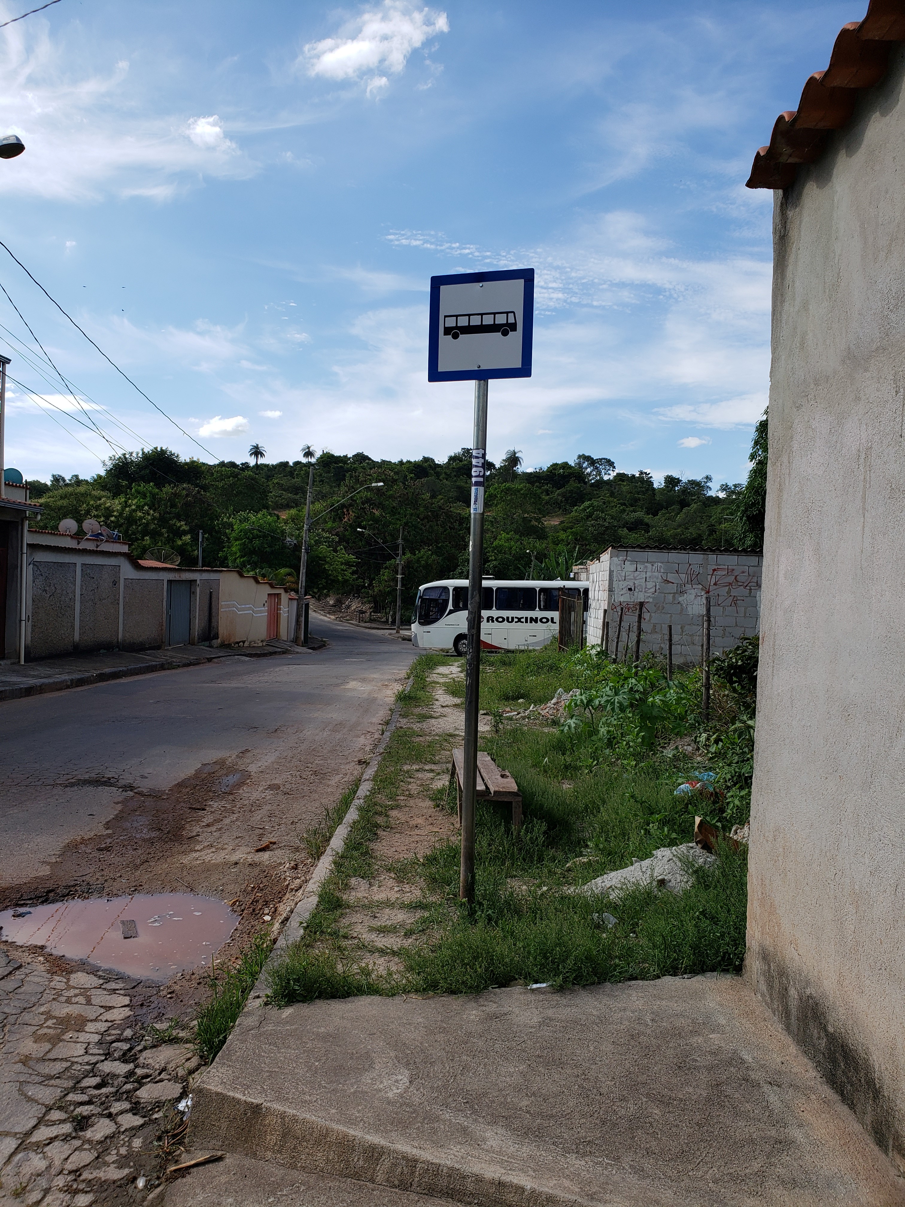 Taken by Lucas S.
See Rua São Bento, 51 stop, Betim, on the map
Public transit to Rua São Bento, 51 stop in Betim
Looking for directions to Rua São Bento, 51 in Betim, Brazil?
Download the Moovit App to find the current schedule and step-by-step directions for Bus routes that pass through Rua São Bento, 51.
Looking for the nearest stops closest to Rua São Bento, 51 ? Check out this list of closest stops to your destination: Rua São Bento; Rua São Silvério; Rua Raymundo Gabriel Rezende.
Bus: 3205, 3292, 60, 261, 3180, 3190, 61.
We make riding on public transit to Rua São Bento, 51 easy, which is why over 1.7 billion users, including users in Betim trust Moovit as the best app for public transit.
Use the app to navigate to popular places including to the airport, hospital, stadium, grocery store, mall, coffee shop, school, college, and university.
The first line to this stop is 60, at 5:09 AM, and the last line is 3205 at 9:05 PM.
51 Rua Sao Bento, Betim, Brazil
This stop serves Transporte Coletivo Metropolitano de MG - (SEINFRA) and Transporte Complementar de Betim’s lines
Popular routes from Rua São Bento, 51 stop, Betim
- Rua São Bento, 32,
- Rua São Silvério, 310,
- Rua Raymundo Gabriel Rezende, 72
Bus stops near Rua São Bento, 51 stop
- Br-040, Km 527,2 Sul | Hotel Ibis/Antiga Garagem Da Cia. São Geraldo De Viação,
- Av. Silviano Brandão, 2315,
- Av. Amazonas, 2054| Av. Amazonas Com Barbacena 3,
- Rua Monte Carmelo,
- Br-381, Km 449,1 Sul | Bairro Bom Destino,
- Mgc-262, Km 305,6 Leste,
- Br-262 Km-383 | Condomínio Terra Fértil,
- Br-381 ("Eucalipito") Com Avenida Jk | Acesso Ao Centro Betim E Praça Milton Campos sentido São Paulo,
- Br-040, Km 466,6 Norte | Posto Gauchão,
- Av. Gal. David Sarnoff, 5005,
- Mg-050 Km-84 | Mateus Leme,
- Av. Das Indústrias, 3651 | Cifarma,
- Rua Três, 1486-2250 | Retiro Do Brumado,
- Lmg-808, Km 15,7 Sul | Condomínio Topázio,
- Av. José Cândido Da Silveira, 1647 | Epamig,
- Av. Edméia Mattos Lazzarotti, 2298 | Droga Raia,
- Avenida Afonso Vaz De Melo, 640 | Viashopping Barreiro,
- Estação Rio Nilo | Plataforma C - Sentido Metrô,
- Estação Cristiano Guimarães | Move Metropolitano - Sentido Centro,
- Av. Reitor Mendes Pimentel | Fale/Eci/Fafich/Cad 2 (Sentido Antônio Carlos)
Popular public transit stations in Betim
Get around Betim by public transit!
Traveling around Betim has never been so easy. See step by step directions as you travel to any attraction, street or major public transit station. View bus and train schedules, arrival times, service alerts and detailed routes on a map, so you know exactly how to get to anywhere in Betim.
When traveling to any destination around Betim use Moovit's Live Directions with Get Off Notifications to know exactly where and how far to walk, how long to wait for your line, and how many stops are left. Moovit will alert you when it's time to get off — no need to constantly re-check whether yours is the next stop.
Wondering how to use public transit in Betim or how to pay for public transit in Betim? Moovit public transit app can help you navigate your way with public transit easily, and at minimum cost. It includes public transit fees, ticket prices, and costs. Looking for a map of Betim public transit lines? Moovit public transit app shows all public transit maps in Betim with all Bus, Train and Metro routes and stops on an interactive map.
Belo Horizonte Region has 3 transit type(s), including: Bus, Train and Metro, operated by several transit agencies, including Grupo Comporte, BHTrans linhas convencionais, BHTrans Suplementar, Cidade Administrativa de Minas Gerais, Transporte Coletivo Metropolitano de MG - (SEINFRA), Transportadora Abreu & Souza, Viação Santa Edwiges | Linhas Transbetim, Transporte Complementar de Betim, RODAP | Municipais Santa Luzia, ViaOuro Coletivos | Municipais Nova Lima, TURI - Transporte Urbano Rodoviário e Intermunicipal Ltda, Cooperseltta, SIT Neves, Saritur Esmeraldas and CAF Transportes| Municipais Brumadinho