How to get to Rua Santo by bus?
Click on the bus route to see step by step directions with maps, line arrival times and updated time schedules.
From CENTRO COMERCIAL GLICÍNIAS PLAZA, Aveiro
125 minFrom Glicínias, Aveiro
124 minFrom Parque de Exposições de Aveiro, Aveiro
160 minFrom MERCADONA, Aveiro
127 minFrom Águeda, Águeda e Borralha
97 minFrom São Bernardo, Aveiro
137 minFrom Piscina Exterior de Oliveirinha, Oliveirinha
176 minFrom Maior Pai Natal do Mundo, Águeda e Borralha
103 minFrom Ilhavo, Aveiro
149 min
Bus stop near Rua Santo in Sepins e Bolho
- Bolho - A, 8 min walk,VIEW
Bus lines to Rua Santo in Sepins e Bolho
- 60, Vilarinho do Bairro (Escola),VIEW
What are the closest stations to Rua Santo?
The closest stations to Rua Santo are:
- Bolho - A is 565 meters away, 8 min walk.
Which bus lines stop near Rua Santo?
These bus lines stop near Rua Santo: 11, 60.
What’s the nearest bus station to Rua Santo in Sepins e Bolho?
The nearest bus station to Rua Santo in Sepins e Bolho is Bolho - A. It’s a 8 min walk away.
What time is the first bus to Rua Santo in Sepins e Bolho?
The 60 is the first bus that goes to Rua Santo in Sepins e Bolho. It stops nearby at 8:48 AM.
What time is the last bus to Rua Santo in Sepins e Bolho?
The 60 is the last bus that goes to Rua Santo in Sepins e Bolho. It stops nearby at 6:15 PM.
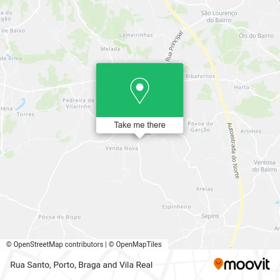
See Rua Santo, Sepins e Bolho, on the map
Public Transit to Rua Santo in Sepins e Bolho
Wondering how to get to Rua Santo in Sepins e Bolho? Moovit helps you find the best way to get to Rua Santo with step-by-step directions from the nearest public transit station.
Moovit provides free maps and live directions to help you navigate through your city. View schedules, routes, timetables, and find out how long does it take to get to Rua Santo in real time.
Looking for the nearest stop or station to Rua Santo? Check out this list of stops closest to your destination: Bolho - A.
Bus: 11, 60.
Want to see if there’s another route that gets you there at an earlier time? Moovit helps you find alternative routes or times. Get directions from and directions to Rua Santo easily from the Moovit App or Website.
We make riding to Rua Santo easy, which is why over 1.5 million users, including users in Sepins e Bolho, trust Moovit as the best app for public transit. You don’t need to download an individual bus app or train app, Moovit is your all-in-one transit app that helps you find the best bus time or train time available.
For information on prices of bus and train, costs and ride fares to Rua Santo, please check the Moovit app.
Use the app to navigate to popular places including to the airport, hospital, stadium, grocery store, mall, coffee shop, school, college, and university.
Rua Santo Address: Rua do Santo street in Sepins e Bolho
- Rua Serradinho,
- Bolho,
- Venda Nova,
- IP Agro,
- Cristina Dias & Marques,
- Transbolho-Transportes de Mercadorias,
- Bolho,
- Venda Nova,
- Transportes Barraca,
- Primacasa,
- Escola Básica de Bolho,
- Rua Central,
- O Casarão de Bolho, Eventos,
- Igreja de Bolho,
- Transportes Navega & Silva,
- Piursa,
- Evyneco - Minimercado Lda,
- Venda Nova,
- Evineco,
- Rua do Vale De Mouro
Places Near Rua Santo (Sepins e Bolho)
- Espinho, Espinho,
- Leça da Palmeira, Matosinhos e Leça da Palmeira,
- Palácio de Cristal, Lordelo do Ouro e Massarelos,
- Acesso ao Shopping Parque Nascente, Campanhã,
- Valongo, Valongo,
- VILA do CONDE PORTO FASHION OUTLET, Modivas,
- Maia, Maia,
- Zoo Santo Inácio, Vila Nova De Gaia,
- El Corte Inglés de Gaia, Mafamude e Vilar do Paraíso,
- Arrábida Shopping, Santa Marinha e São Pedro da Afurada,
- Canidelo, Vila Nova De Gaia,
- Exponor, Matosinhos e Leça da Palmeira,
- Hospital de Santo António, Cedofeita, Santo Ildefonso, Sé, Miragaia, São Nicolau e Vitória,
- MAR Shopping, Matosinhos e Leça da Palmeira,
- Hospital da Prelada, Ramalde,
- Rua Calouste Gulbenkian, Lordelo do Ouro e Massarelos,
- Parque Aquatico Amarante - Aqua Aventura, Amarante,
- Avintes, Vila Nova De Gaia,
- Senhor de Matosinhos, Matosinhos e Leça da Palmeira,
- Hospital Santos Silva, Vila Nova De Gaia
How to get to popular places in Porto, Braga and Vila Real with public transit
Get around Sepins e Bolho by public transit!
Traveling around Sepins e Bolho has never been so easy. See step by step directions as you travel to any attraction, street or major public transit station. View bus and train schedules, arrival times, service alerts and detailed routes on a map, so you know exactly how to get to anywhere in Sepins e Bolho.
When traveling to any destination around Sepins e Bolho use Moovit's Live Directions with Get Off Notifications to know exactly where and how far to walk, how long to wait for your line, and how many stops are left. Moovit will alert you when it's time to get off — no need to constantly re-check whether yours is the next stop.
Wondering how to use public transit in Sepins e Bolho or how to pay for public transit in Sepins e Bolho? Moovit public transit app can help you navigate your way with public transit easily, and at minimum cost. It includes public transit fees, ticket prices, and costs. Looking for a map of Sepins e Bolho public transit lines? Moovit public transit app shows all public transit maps in Sepins e Bolho with all Bus, Train, Metro, Ferry, Funicular and Gondola routes and stops on an interactive map.
Porto, Braga and Vila Real has 6 transit type(s), including: Bus, Train, Metro, Ferry, Funicular and Gondola, operated by several transit agencies, including Metro do Porto, Metro do Porto - Metrobus, CP - Comboios de Portugal, STCP, UNIR Mobilidade da Area Metropolitana do Porto, Getbus - Aerobus, Mobiave, Valpibus, TUB - Transportes Urbanos de Braga, TuViana, Guimabus, Ave Mobilidade, Cávado Mobilidade, Transdev and Câmara Municipal de Santo Tirso