Rua Tiradentes, 1842 stop - Friday schedule
| Line | Direction | Time |
|---|---|---|
| 1100 | Sol Nascente ⇄ Monte Castelo | 4:23 AM |
| 1140 | Palmares 2ª Seção ⇄ B.H. (Ida & Volta) | 4:23 AM |
| 1270 | - Regina ⇄ B.H. | Ida & Volta | 4:26 AM |
| 1231 | Palmares 2ª Seção ⇄ Estação Eldorado | 4:27 AM |
| 1300 | Palmares 2ª Seção ⇄ Bela Vista | Ida & Volta | 4:39 AM |
| 1000 | Só Ida: Palmares 2ª E 1ª Seção ➞ Alameda da Serra (R.I.) | 4:40 AM |
| 1130 | Palmares 1ª Seção ⇄ B.H. (Ida & Volta) | 4:47 AM |
| 1000 | Palmares 2ª E 1ª Seção ⇄ Alameda Da Serra | Ida & Volta | 4:50 AM |
| 402A | Jardim Riacho ⇄ Eldorado | 4:50 AM |
| 1100 | Sol Nascente ⇄ Monte Castelo | 4:53 AM |
| 1300 | Palmares 2ª Seção ⇄ Bela Vista | Ida & Volta | 4:54 AM |
| 1141 | Palmares 2ª Seção Via Regina ⇄ B.H. | 4:55 AM |
| 1270 | - Regina ⇄ B.H. | Ida & Volta | 4:56 AM |
| 1000 | Só Ida: Palmares 2ª E 1ª Seção ➞ Alameda da Serra (R.I.) | 5:05 AM |
| 1231 | Palmares 2ª Seção ⇄ Estação Eldorado | 5:07 AM |
| 1270 | - Regina ⇄ B.H. | Ida & Volta | 5:11 AM |
| 1140 | Palmares 2ª Seção ⇄ B.H. (Ida & Volta) | 5:13 AM |
| 1300 | Palmares 2ª Seção ⇄ Bela Vista | Ida & Volta | 5:14 AM |
| 1000 | Palmares 2ª E 1ª Seção ⇄ Alameda Da Serra | Ida & Volta | 5:16 AM |
| 1130 | Palmares 1ª Seção ⇄ B.H. (Ida & Volta) | 5:17 AM |
| 1200 | Lajinha ⇄ B.H. (Ida & Volta) | 5:20 AM |
| 1100 | Sol Nascente ⇄ Monte Castelo | 5:23 AM |
| 1300 | Palmares 2ª Seção ⇄ Bela Vista | Ida & Volta | 5:24 AM |
| 1270 | - Regina ⇄ B.H. | Ida & Volta | 5:24 AM |
| 1000 | Só Ida: Palmares 2ª E 1ª Seção ➞ Alameda da Serra (R.I.) | 5:25 AM |
Directions to Rua Tiradentes, 1842 stop (Contagem) with public transit
The following transit lines have routes that pass near Rua Tiradentes, 1842
 Bus: 1130, 1200, 1300, 810, 402B.
- Metro: LINHA 1 LARANJA.
How to get to Rua Tiradentes, 1842 stop by bus?
Click on the bus route to see step by step directions with maps, line arrival times and updated time schedules.
Bus stops near Rua Tiradentes, 1842 stop in Contagem
- Rua Tiradentes 1859 Contagem - Minas Gerais 32320 Brasil, 1 min walk,
- Rua Tiradentes, 1675 | Madeira Monteiro, 2 min walk,
- Rua Tiradentes 2286 Contagem - Minas Gerais 32235 Brasil, 3 min walk,
- Rua Amapá 810 Contagem - Minas Gerais 32240-010 Brasil, 4 min walk,
Metro stations near Rua Tiradentes, 1842 station in Contagem
- Estação Eldorado, 46 min walk,
Bus lines to Rua Tiradentes, 1842 stop in Contagem
- 402B, Jd Riacho/Eldorado/Metrô/Cid. Ind./ Jd Ind/Via UBS,
- 810, Jardim Ind/Carref/Califórnia/Metrô/Cent/ Maracanã,
- 1000, Palmares 2ª E 1ª Seção ⇄ Alameda Da Serra | Ida & Volta,
- 1100, Monte Castelo ➞ Sol Nascente (P.I.),
- 1130, Palmares 1ª Seção ⇄ B.H. (Ida & Volta),
- 1140, Partida: B.H. ➞ Palmares 2ª Seção (P.I.),
- 1141, Palmares 2ª Seção Via Regina ⇄ B.H.,
- 1200, Só Ida: Lajinha ➞ B.H. (R.I.),
- 1201, Lajinha Via Palmeiras ⇄ B.H,
- 1231, Palmares 2ª Seção ⇄ Estação Eldorado,
- 1270, - Regina ⇄ B.H. | Ida & Volta,
- 1300, Palmares 2ª Seção ⇄ Bela Vista | Ida & Volta,
- 1330, Washington Pires ⇄ Estação Eldorado,
- 402A, Jd Riacho/Cid.Ind/Metrô/Eldorado/Carrefour/Via UBS,
- 002A, Desvio Feira-Santa Maria/Carref/PUC/Pref./Metrô/Cid.Ind,
What are the closest stations to Rua Tiradentes, 1842?
The closest stations to Rua Tiradentes, 1842 are:
- Rua Tiradentes 1859 Contagem - Minas Gerais 32320 Brasil is 67 meters away, 1 min walk.
- Rua Tiradentes, 1675 | Madeira Monteiro is 67 meters away, 2 min walk.
- Rua Tiradentes 2286 Contagem - Minas Gerais 32235 Brasil is 189 meters away, 3 min walk.
- Rua Amapá 810 Contagem - Minas Gerais 32240-010 Brasil is 274 meters away, 4 min walk.
- Estação Eldorado is 3552 meters away, 46 min walk.
Which bus lines stop near Rua Tiradentes, 1842?
These bus lines stop near Rua Tiradentes, 1842: 1130, 1200, 1300, 810.
What’s the nearest bus station to Rua Tiradentes, 1842 in Contagem?
The nearest bus station to Rua Tiradentes, 1842 in Contagem is Rua Tiradentes 1859 Contagem - Minas Gerais 32320 Brasil. It’s a 1 min walk away.
What time is the first metro to Rua Tiradentes, 1842 in Contagem?
The LINHA 1 LARANJA is the first metro that goes to Rua Tiradentes, 1842 in Contagem. It stops nearby at 4:50 AM.
What time is the last metro to Rua Tiradentes, 1842 in Contagem?
The LINHA 1 LARANJA is the last metro that goes to Rua Tiradentes, 1842 in Contagem. It stops nearby at 11:47 PM.
What time is the first bus to Rua Tiradentes, 1842 in Contagem?
The 1100 is the first bus that goes to Rua Tiradentes, 1842 in Contagem. It stops nearby at 4:21 AM.
What time is the last bus to Rua Tiradentes, 1842 in Contagem?
The 1130 is the last bus that goes to Rua Tiradentes, 1842 in Contagem. It stops nearby at 1:01 AM.
Rua Tiradentes, 1842 station
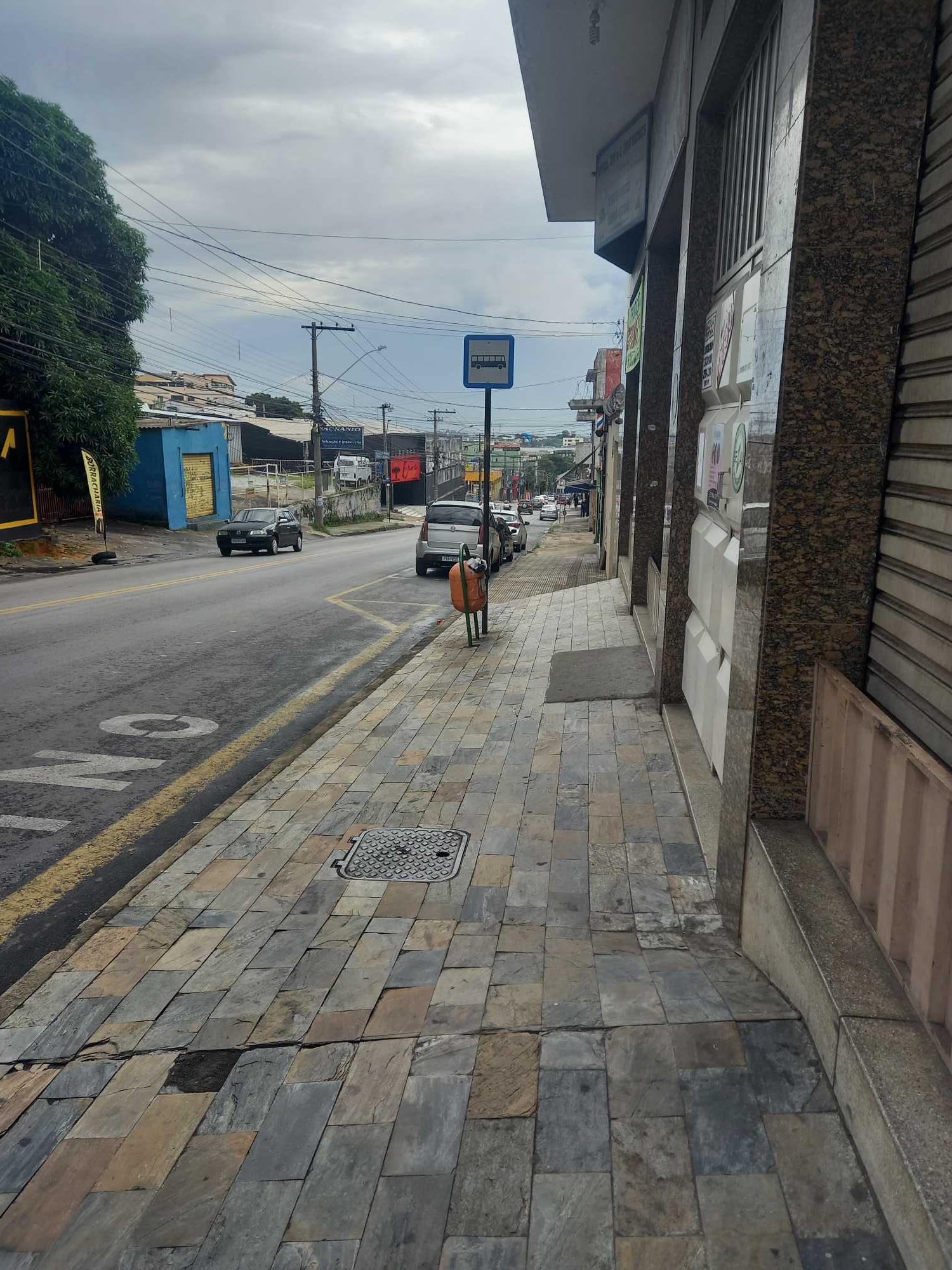 Taken by Anonymous
See Rua Tiradentes, 1842 stop, Contagem, on the map
Public transit to Rua Tiradentes, 1842 stop in Contagem
Looking for directions to Rua Tiradentes, 1842 in Contagem, Brazil?
Download the Moovit App to find the current schedule and step-by-step directions for Bus routes that pass through Rua Tiradentes, 1842.
Looking for the nearest stops closest to Rua Tiradentes, 1842 ? Check out this list of closest stops to your destination: Rua Tiradentes 1859 Contagem - Minas Gerais 32320 Brasil; Rua Tiradentes; Rua Tiradentes 2286 Contagem - Minas Gerais 32235 Brasil; Rua Amapá 810 Contagem - Minas Gerais 32240-010 Brasil; Estação Eldorado.
Bus: 1130, 1200, 1300, 810, 402B, 1000, 1100, 1140, 1141, 402A, 002A.Metro: LINHA 1 LARANJA.
We make riding on public transit to Rua Tiradentes, 1842 easy, which is why over 1.5 million users, including users in Contagem trust Moovit as the best app for public transit.
Use the app to navigate to popular places including to the airport, hospital, stadium, grocery store, mall, coffee shop, school, college, and university.
The first line to this stop is 1100, at 4:23 AM, and the last line is 810 at 12:50 AM.
49 Rua Coronel Gabriel De Andrade, Parque Industrial, Brazil
This stop serves Transporte Coletivo Metropolitano de MG - (SEINFRA) and TransCon - Autarquia de Trânsito e Transportes de Contagem’s lines
- Rua Tiradentes 1859 Contagem - Minas Gerais 32320 Brasil,
- Rua Tiradentes, 1675 | Madeira Monteiro,
- Rua Tiradentes 2286 Contagem - Minas Gerais 32235 Brasil,
- Rua Amapá 810 Contagem - Minas Gerais 32240-010 Brasil
Bus stops near Rua Tiradentes, 1842 stop
- Estação Eldorado
Metro station near Rua Tiradentes, 1842 station
- Rua Rio Comprido, 3644 | Ponto Final Das Linhas 7900 E 7905 No Santa Cruz,
- Av. Brigadeiro Eduardo Gomes, 1236,
- Av. Alcino Gonçalves Cotta, 797,
- Br-040, Km 498,9 Norte | Bairro Manga,
- Av. Dos Andradas, 7375 | Upa Leste,
- Av. Cristiano Machado, 9540 | Estação Waldomiro Lobo,
- Mg-424, Km 38,3 Norte,
- Av. Juscelino Kubitschek, 220 | Faculdade Pitagorás,
- Sociedade Hípica De Minas Gerais,
- Lmg-808, Km 9 Norte,
- Rua Veneza, 168,
- Pça. Cristo Redentor, 27,
- Av. Barão Homem De Melo, 3420,
- Conexão Aeroporto Álvares Cabral,
- Av. José Faria Da Rocha, 4046 | Clínica Cemel Sentido Est. Eldorado,
- Estação Minas Shopping,
- Via Expressa De Contagem, 9301,
- Rua Elvis Aron Presley, 158,
- Rua Maria Teresa Nolibus, 246,
- Avenida Amazonas, 471 | Praça Sete - Galera Dantes 2
Popular public transit stations in Contagem
Get around Contagem by public transit!
Traveling around Contagem has never been so easy. See step by step directions as you travel to any attraction, street or major public transit station. View bus and train schedules, arrival times, service alerts and detailed routes on a map, so you know exactly how to get to anywhere in Contagem.
When traveling to any destination around Contagem use Moovit's Live Directions with Get Off Notifications to know exactly where and how far to walk, how long to wait for your line, and how many stops are left. Moovit will alert you when it's time to get off — no need to constantly re-check whether yours is the next stop.
Wondering how to use public transit in Contagem or how to pay for public transit in Contagem? Moovit public transit app can help you navigate your way with public transit easily, and at minimum cost. It includes public transit fees, ticket prices, and costs. Looking for a map of Contagem public transit lines? Moovit public transit app shows all public transit maps in Contagem with all Bus, Train and Metro routes and stops on an interactive map.
Belo Horizonte Region has 3 transit type(s), including: Bus, Train and Metro, operated by several transit agencies, including Grupo Comporte, BHTrans linhas convencionais, BHTrans Suplementar, Cidade Administrativa de Minas Gerais, Transporte Coletivo Metropolitano de MG - (SEINFRA), Transportadora Abreu & Souza, Viação Santa Edwiges | Linhas Transbetim, Transporte Complementar de Betim, RODAP | Municipais Santa Luzia, ViaOuro Coletivos | Municipais Nova Lima, TURI - Transporte Urbano Rodoviário e Intermunicipal Ltda, Cooperseltta, SIT Neves, Saritur Esmeraldas and CAF Transportes| Municipais Brumadinho