Rua Tres Pontas 557 stop - Saturday schedule
| Line | Direction | Time |
|---|---|---|
| 1404A | Palmeiras (Principal) | 3:01 AM |
| 5035 | Noturno | 3:05 AM |
| 8401 | São Jose (Noturno - Desvio Feira Avenida Afonso Pena) | 3:14 AM |
| 9408 | Santa Efigênia (Noturno) | 3:19 AM |
| 9407 | Alto Vera Cruz (Noturno) | 3:36 AM |
| 4802A | Boa Vista (Noturno) | 3:44 AM |
| 9407 | Alto Vera Cruz (Noturno) | 3:56 AM |
| 4405 | Coqueiros (Atendimento Noturno) | 3:57 AM |
| 1404A | Palmeiras (Principal) | 4:01 AM |
| 1404C | Palmeiras (Noturno) | 4:13 AM |
| 5035 | Noturno | 4:15 AM |
| 4501 | São Paulo (Noturno) | 4:17 AM |
| 9408 | Santa Efigenia | 4:19 AM |
| 4802A | Boa Vista | 4:20 AM |
| 4111 | Dom Cabral (Retorno na Praca do Porto) | 4:21 AM |
| 4037 | Nossa Senhora Da Gloria | 4:25 AM |
| 9407 | Alto Vera Cruz | 4:26 AM |
| 1404C | Palmeiras | 4:38 AM |
| 9408 | Santa Efigenia | 4:49 AM |
| 4111 | Anchieta | 4:51 AM |
| 4037 | Nossa Senhora Da Gloria | 4:55 AM |
| 4802A | Boa Vista | 4:55 AM |
| 4405 | Coqueiros | 4:57 AM |
| 2290 | Nacional ⇄ B.H. | 4:58 AM |
| 2810 | São Mateus ⇄ B.H. | 4:59 AM |
Directions to Rua Tres Pontas 557 stop (Belo Horizonte) with public transit
The following transit lines have routes that pass near Rua Tres Pontas 557
 Bus: 1404C, 2290, 2911, 3301B, 5036.
- Train: EFVM.
- Metro: LINHA 1 LARANJA, LINHA 2 AZUL.
How to get to Rua Tres Pontas 557 stop by bus?
Click on the bus route to see step by step directions with maps, line arrival times and updated time schedules.
How to get to Rua Tres Pontas 557 stop by metro?
Click on the metro route to see step by step directions with maps, line arrival times and updated time schedules.
Bus stops near Rua Tres Pontas 557 stop in Belo Horizonte
- Rua Tres Pontas 383, 3 min walk,
- Rua Padre Eustáquio, 752 | Praça São Francisco Das Chagas, 3 min walk,
- Rua Tres Pontas 819, 4 min walk,
- Avenida Dom Pedro II 1897, 6 min walk,
- Av. D. Pedro Ii, 1897 | Chocobel, 6 min walk,
- Avenida Dom Pedro II 1980, 7 min walk,
- Avenida Dom Pedro II 1520, 9 min walk,
Train stations near Rua Tres Pontas 557 station in Belo Horizonte
- Estação Ferroviária de Belo Horizonte - MG, 34 min walk,
Metro stations near Rua Tres Pontas 557 station in Belo Horizonte
- Estação Calafate, 40 min walk,
- Estação Nova Suíça, 51 min walk,
Bus lines to Rua Tres Pontas 557 stop in Belo Horizonte
- 2110, Jardim Laguna C via Novo Progresso/Belo Horizonte,
- 2120, Jardim Laguna C via Avenida João Gomes/Parque Ayrton Senna/Belo Horizonte,
- 2130, Jardim Laguna/Belo Horizonte,
- 2131, Jardim Laguna via Novo Progresso B/Belo Horizonte,
- 2150, Novo Céu via Oitis/Belo Horizonte,
- 2151, Oitis via Novo Progresso C/Belo Horizonte,
- 2170, Jardim Laguna via Novo Progresso/Belo Horizonte,
- 2180, Jardim Laguna/Av. Brig. Eduardo Gomes/Belo Horizonte,
- 2290, Nacional/Belo Horizonte,
- 2310, Nacional/Belo Horizonte via Vale das Orquídeas,
- 2330, Xangri-lá/Belo Horizonte,
- 2350, Conjunto Carajás/Belo Horizonte,
- 2360, Vale das Amendoeiras - Nossa Senhora da Conceição/Belo Horizonte,
- 2390, CEASA via Ressaca/Belo Horizonte,
- 2391, Bairro Cândida Ferreira via Cabral/Belo Horizonte,
- 2410, Jardim Alvorada/Belo Horizonte,
- 2800, Conjunto Confisco/Belo Horizonte,
- 2810, São Mateus via Estrela Dalva/Belo Horizonte,
- 2811, São Mateus via Tijuca/Belo Horizonte,
- 2820, Bairro Tijuca/Belo Horizonte,
What are the closest stations to Rua Tres Pontas 557?
The closest stations to Rua Tres Pontas 557 are:
- Rua Tres Pontas 383 stop is 174 meters away, 3 min walk.
- Rua Padre Eustáquio, 752 | Praça São Francisco Das Chagas stop is 217 meters away, 3 min walk.
- Rua Tres Pontas 819 stop is 265 meters away, 4 min walk.
- Avenida Dom Pedro II 1897 stop is 405 meters away, 6 min walk.
- Av. D. Pedro Ii, 1897 | Chocobel stop is 406 meters away, 6 min walk.
- Avenida Dom Pedro II 1980 stop is 492 meters away, 7 min walk.
- Avenida Dom Pedro II 1520 stop is 697 meters away, 9 min walk.
- Estação Ferroviária de Belo Horizonte - MG station is 2627 meters away, 34 min walk.
- Estação Calafate station is 3150 meters away, 40 min walk.
- Estação Nova Suíça station is 3982 meters away, 51 min walk.
Which bus lines stop near Rua Tres Pontas 557?
These bus lines stop near Rua Tres Pontas 557: 1404C, 2290, 2911, 3301B, 5036, 518R, 67, 9407.
Which metro line stops near Rua Tres Pontas 557?
LINHA 1 LARANJA (Estação Novo Eldorado ➞ Estação Vilarinho)
What’s the nearest bus station to Rua Tres Pontas 557 in Belo Horizonte?
The nearest bus stations to Rua Tres Pontas 557 in Belo Horizonte are Rua Tres Pontas 383 and Rua Padre Eustáquio, 752 | Praça São Francisco Das Chagas. The closest one is a 3 min walk away.
What time is the first metro to Rua Tres Pontas 557 in Belo Horizonte?
The LINHA 1 LARANJA is the first metro that goes to Rua Tres Pontas 557 in Belo Horizonte. It stops nearby at 5:01 AM.
What time is the last metro to Rua Tres Pontas 557 in Belo Horizonte?
The LINHA 1 LARANJA is the last metro that goes to Rua Tres Pontas 557 in Belo Horizonte. It stops nearby at 11:37 PM.
What time is the first train to Rua Tres Pontas 557 in Belo Horizonte?
The EFVM is the first train that goes to Rua Tres Pontas 557 in Belo Horizonte. It stops nearby at 7:00 AM.
What time is the last train to Rua Tres Pontas 557 in Belo Horizonte?
The EFVM is the last train that goes to Rua Tres Pontas 557 in Belo Horizonte. It stops nearby at 2:13 PM.
What time is the first bus to Rua Tres Pontas 557 in Belo Horizonte?
The 9408 is the first bus that goes to Rua Tres Pontas 557 in Belo Horizonte. It stops nearby at 3:00 AM.
What time is the last bus to Rua Tres Pontas 557 in Belo Horizonte?
The 4111 is the last bus that goes to Rua Tres Pontas 557 in Belo Horizonte. It stops nearby at 2:48 AM.
Rua Tres Pontas 557 station
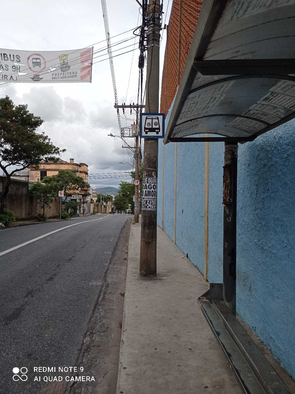 Taken by Anonymous
See Rua Tres Pontas 557 stop, Belo Horizonte, on the map
Public transit to Rua Tres Pontas 557 stop in Belo Horizonte
Looking for directions to Rua Tres Pontas 557 in Belo Horizonte, Brazil?
Download the Moovit App to find the current schedule and step-by-step directions for Bus or Metro routes that pass through Rua Tres Pontas 557.
Looking for the nearest stops closest to Rua Tres Pontas 557 ? Check out this list of closest stops to your destination: Rua Tres Pontas 383; Rua Padre Eustáquio; Rua Tres Pontas 819; Avenida Dom Pedro II 1897; Av. D. Pedro Ii; Avenida Dom Pedro II 1980; Avenida Dom Pedro II 1520; Estação Ferroviária de Belo Horizonte - MG; Estação Calafate; Estação Nova Suíça.
Bus: 1404C, 2290, 2911, 3301B, 5036, 518R, 67, 9407, 2110, 2120, 2130, 2131, 2150, 2420, 5034, S54.Train: EFVM.Metro: LINHA 1 LARANJA, LINHA 2 AZUL.
We make riding on public transit to Rua Tres Pontas 557 easy, which is why over 1.7 billion users, including users in Belo Horizonte trust Moovit as the best app for public transit.
Use the app to navigate to popular places including to the airport, hospital, stadium, grocery store, mall, coffee shop, school, college, and university.
The first line to this stop is 1404A, at 3:01 AM, and the last line is 9407 at 2:58 AM.
605 Rua Tres Pontas, Belo Horizonte, Brazil
This stop serves BHTrans linhas convencionais, Transporte Coletivo Metropolitano de MG - (SEINFRA) and BHTrans Suplementar’s lines
- Rua Tres Pontas 383,
- Rua Padre Eustáquio, 752 | Praça São Francisco Das Chagas,
- Rua Tres Pontas 819,
- Avenida Dom Pedro II 1897,
- Av. D. Pedro Ii, 1897 | Chocobel,
- Avenida Dom Pedro II 1980,
- Avenida Dom Pedro II 1520
Bus stops near Rua Tres Pontas 557 stop
- Estação Ferroviária de Belo Horizonte - MG
Train station near Rua Tres Pontas 557 station
- Estação Calafate,
- Estação Nova Suíça
Metro stations near Rua Tres Pontas 557 station
- Br-381 Rodovia Fernão Dias, Km 555,9 Norte,
- Av. Bandeirantes, 1210 | Hotel Serra Negra,
- Estação Rio Nilo | Plataforma A & B,
- Avenida Barão Homem De Melo, 1710 | Upa Oeste,
- Rua Dos Goitacazes, 778 Com Av. Amazonas 2,
- Av. Eduardo Brandão,
- Estação Morro Alto | Move Metropolitano,
- Br-356, Km 28,7 Sul,
- Br-262 Km-358 | Embraurb, Antes Da Toshiba,
- Rua Wilma De Andrade, 297,
- Av. Dos Andradas, 3546,
- Br-381 Rodovia Fernão Dias, Km 556 Sul,
- Av. Heráclito Mourão De Miranda, 3900,
- Br-262 Km-357 | Sentido Francelino/Juatuba,
- Mg-424, Km 38,3 Norte,
- Br-040, Km 564,7 Sul | Iate Clube Lagoa Dos Ingleses,
- Br-040, Km 481 Sul | Trevo Alimentos,
- Estação Lagoinha,
- Rua José Dos Santos Lage, 35,
- Av. Barão Homem De Melo, 4500
Popular public transit stations in Belo Horizonte
Get around Belo Horizonte by public transit!
Traveling around Belo Horizonte has never been so easy. See step by step directions as you travel to any attraction, street or major public transit station. View bus and train schedules, arrival times, service alerts and detailed routes on a map, so you know exactly how to get to anywhere in Belo Horizonte.
When traveling to any destination around Belo Horizonte use Moovit's Live Directions with Get Off Notifications to know exactly where and how far to walk, how long to wait for your line, and how many stops are left. Moovit will alert you when it's time to get off — no need to constantly re-check whether yours is the next stop.
Wondering how to use public transit in Belo Horizonte or how to pay for public transit in Belo Horizonte? Moovit public transit app can help you navigate your way with public transit easily, and at minimum cost. It includes public transit fees, ticket prices, and costs. Looking for a map of Belo Horizonte public transit lines? Moovit public transit app shows all public transit maps in Belo Horizonte with all Bus, Train and Metro routes and stops on an interactive map.
Belo Horizonte Region has 3 transit type(s), including: Bus, Train and Metro, operated by several transit agencies, including Grupo Comporte, BHTrans linhas convencionais, BHTrans Suplementar, Cidade Administrativa de Minas Gerais, Transporte Coletivo Metropolitano de MG - (SEINFRA), Transportadora Abreu & Souza, Viação Santa Edwiges | Linhas Transbetim, Transporte Complementar de Betim, RODAP | Municipais Santa Luzia, ViaOuro Coletivos | Municipais Nova Lima, TURI - Transporte Urbano Rodoviário e Intermunicipal Ltda, Cooperseltta, SIT Neves, Saritur Esmeraldas and CAF Transportes| Municipais Brumadinho