Directions to Ruby Co (West Hempstead) with public transportation
The following transit lines have routes that pass near Ruby Co
 Bus: N31, N6, N6X, N32, N15.
- Train: WEST HEMPSTEAD BRANCH, HEMPSTEAD BRANCH.
How to get to Ruby Co by bus?
Click on the bus route to see step by step directions with maps, line arrival times and updated time schedules.
From Manhasset, NY, Manhasset
69 minFrom Long Island Jewish Hospital, North New Hyde Park
54 minFrom Springfield Gardens, NY, Queens
70 minFrom North Shore University Hospital, Manhasset
50 minFrom Belmont Park, Elmont
42 minFrom Walmart, Queens
68 minFrom DMV, Queens
87 minFrom Roy Wilkins Park, Queens
68 minFrom Walmart, Valley Stream
61 minFrom East Meadow, NY, East Meadow
44 min
How to get to Ruby Co by train?
Click on the train route to see step by step directions with maps, line arrival times and updated time schedules.
Bus stops near Ruby Co in West Hempstead
Train stations near Ruby Co in West Hempstead
Bus lines to Ruby Co in West Hempstead
What are the closest stations to Ruby Co?
The closest stations to Ruby Co are:
- Hempstead Ave + Woodlawn Rd. is 136 yards away, 2 min walk.
- Cherry Val Av / Hempstead is 209 yards away, 3 min walk.
- Cedar St / Woodfield is 241 yards away, 3 min walk.
- Nassau Boulevard is 671 yards away, 8 min walk.
- Hempstead Gardens is 2110 yards away, 25 min walk.
Which bus lines stop near Ruby Co?
These bus lines stop near Ruby Co: N31, N6, N6X.
Which train line stops near Ruby Co?
WEST HEMPSTEAD BRANCH (West Hempstead)
What’s the nearest train station to Ruby Co in West Hempstead?
The nearest train station to Ruby Co in West Hempstead is Nassau Boulevard. It’s a 8 min walk away.
What’s the nearest bus station to Ruby Co in West Hempstead?
The nearest bus station to Ruby Co in West Hempstead is Hempstead Ave + Woodlawn Rd.. It’s a 2 min walk away.
What time is the first train to Ruby Co in West Hempstead?
The HEMPSTEAD BRANCH is the first train that goes to Ruby Co in West Hempstead. It stops nearby at 3:19 AM.
What time is the last train to Ruby Co in West Hempstead?
The HEMPSTEAD BRANCH is the last train that goes to Ruby Co in West Hempstead. It stops nearby at 3:22 AM.
What time is the first bus to Ruby Co in West Hempstead?
The N6 is the first bus that goes to Ruby Co in West Hempstead. It stops nearby at 3:13 AM.
What time is the last bus to Ruby Co in West Hempstead?
The N6 is the last bus that goes to Ruby Co in West Hempstead. It stops nearby at 2:49 AM.
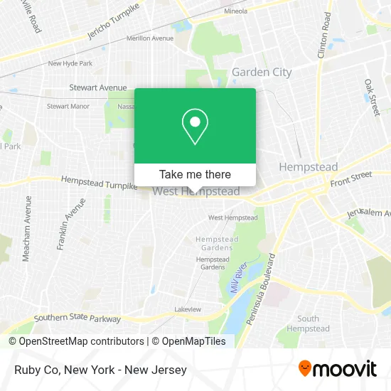
See Ruby Co, West Hempstead, on the map
Public Transit to Ruby Co in West Hempstead
Wondering how to get to Ruby Co in West Hempstead? Moovit helps you find the best way to get to Ruby Co with step-by-step directions from the nearest public transit station.
Moovit provides free maps and live directions to help you navigate through your city. View schedules, routes, timetables, and find out how long does it take to get to Ruby Co in real time.
Looking for the nearest stop or station to Ruby Co? Check out this list of stops closest to your destination: Hempstead Ave + Woodlawn Rd.; Cherry Val Av / Hempstead; Cedar St / Woodfield; Nassau Boulevard; Hempstead Gardens.
Bus: N31, N6, N6X, N32, N15.Train: WEST HEMPSTEAD BRANCH, HEMPSTEAD BRANCH.
Want to see if there’s another route that gets you there at an earlier time? Moovit helps you find alternative routes or times. Get directions from and directions to Ruby Co easily from the Moovit App or Website.
We make riding to Ruby Co easy, which is why over 1.5 million users, including users in West Hempstead, trust Moovit as the best app for public transit. You don’t need to download an individual bus app or train app, Moovit is your all-in-one transit app that helps you find the best bus time or train time available.
For information on prices of bus and train, costs and ride fares to Ruby Co, please check the Moovit app.
Use the app to navigate to popular places including to the airport, hospital, stadium, grocery store, mall, coffee shop, school, college, and university.
Ruby Co Address: 304 Hempstead Tpke street in West Hempstead
- Cherry Valley Marketplace,
- Mach Speed Car & Truck Accessories,
- Witches Brew Coffee House,
- The Witches Brew,
- Marketing Group,
- Central Securities Of America,
- Sj Trendz Inc.,
- West Hempstead Neck and Spinal,
- The Jumping Gym,
- Allpro General Contracting,
- Renewing Life Christian Church,
- Total Security Integrated Systems NJ,
- Vantage Medical Associates, P.C.,
- Corner Stone Church Of God,
- Libertyx Bitcoin Atm,
- Espinoza Deli,
- Raul M Construction Inc.,
- Jiffy Lube,
- Fire Island News,
- Pizza Hut Express
Places Near Ruby Co (West Hempstead)
- Bellevue Hospital, Manhattan,
- 1 Police Plaza, Manhattan,
- Queens Center Mall, Queens,
- Wall Street, Manhattan,
- Rockefeller Center, Manhattan,
- qqqq, Manhattan,
- Hudson Yards, Manhattan,
- Times Square, Manhattan,
- SoHo, Manhattan,
- 111 Centre New York City Supreme Court, Manhattan,
- 66 John Street, Manhattan,
- Katz's Deli, Manhattan,
- 3 Stone St, Manhattan,
- San Gennaro Feast, Manhattan,
- 26 Federal Plaza, Manhattan,
- Mountainside Hospital, Glen Ridge,
- Pier 83, Manhattan,
- Chinatown, Manhattan,
- 376 Hudson Street, Manhattan,
- 911 Memorial, Manhattan
How to get to popular places in New York - New Jersey with public transit
Get around West Hempstead by public transit!
Traveling around West Hempstead has never been so easy. See step by step directions as you travel to any attraction, street or major public transit station. View bus and train schedules, arrival times, service alerts and detailed routes on a map, so you know exactly how to get to anywhere in West Hempstead.
When traveling to any destination around West Hempstead use Moovit's Live Directions with Get Off Notifications to know exactly where and how far to walk, how long to wait for your line, and how many stops are left. Moovit will alert you when it's time to get off — no need to constantly re-check whether yours is the next stop.
Wondering how to use public transit in West Hempstead or how to pay for public transit in West Hempstead? Moovit public transit app can help you navigate your way with public transit easily, and at minimum cost. It includes public transit fees, ticket prices, and costs. Looking for a map of West Hempstead public transit lines? Moovit public transit app shows all public transit maps in West Hempstead with all Bus, Train, Subway, Light Rail, Ferry and Cable Car routes and stops on an interactive map.
New York - New Jersey has 6 transit type(s), including: Bus, Train, Subway, Light Rail, Ferry and Cable Car, operated by several transit agencies, including MTA Subway, Metro-North Railroad, LIRR, PATH, MTA New York City Transit - Express routes, MTA Bus, NJ Transit, NYC Ferry, NICE bus, Bee-Line Bus, NJ Transit Rail, Norwalk Transit District, Hartford Line, River Valley Transit and HART